Blank world map
A blank world map shows the outlines of the continents and the borders of every country, but no names. Teachers use it for geography quizzes and students to practice where countries and capitals are. Print it for free as PDF or PNG.

World map to color
The coloring version has black outlines on a white background, so it prints with very little ink and is easy to color by continent or by country.

Blank maps of the continents
For a closer look, every continent has its own blank map with the borders of its countries:
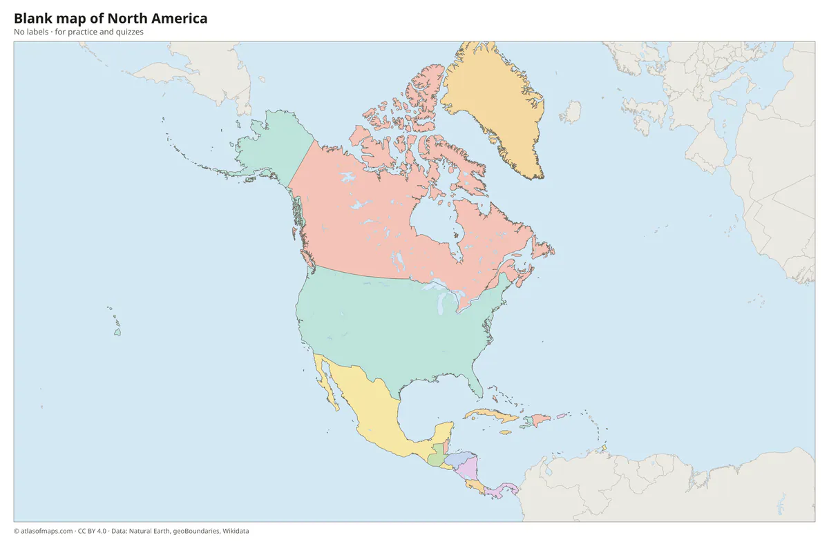 Blank map of North America
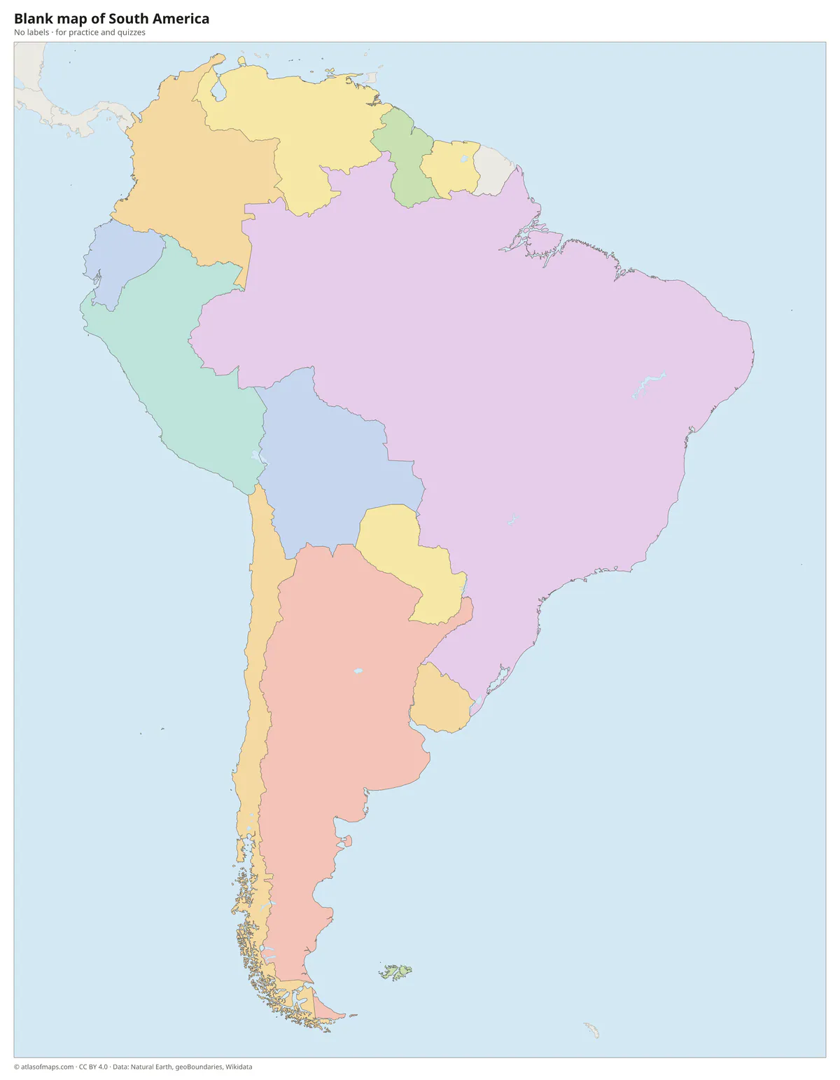 Blank map of South America
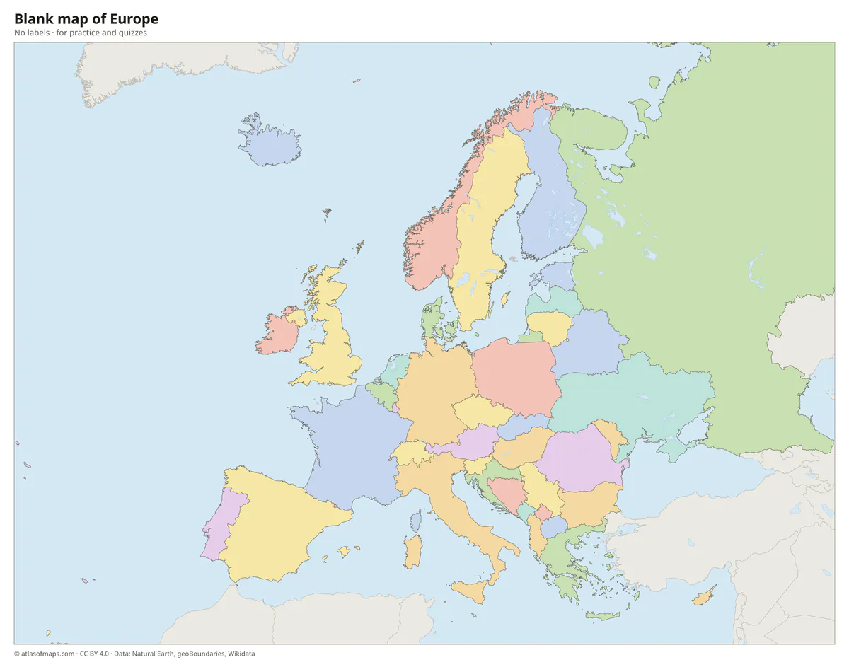 Blank map of Europe
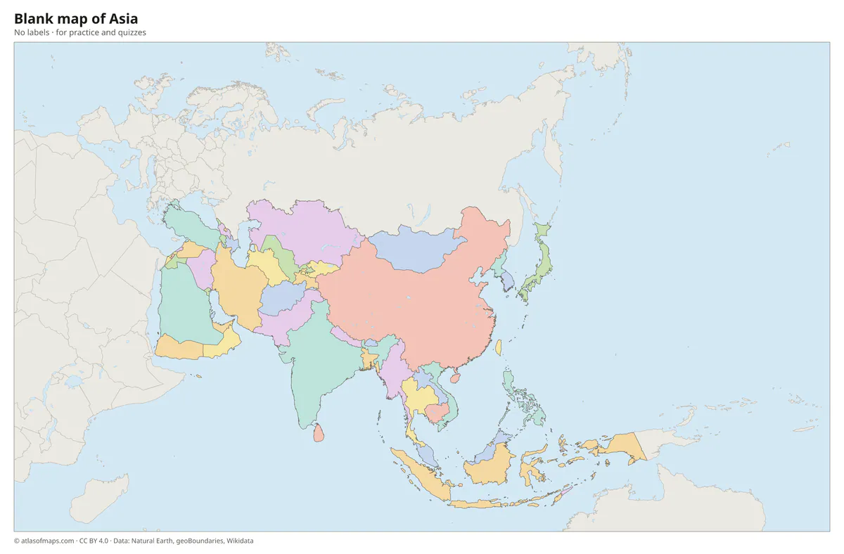 Blank map of Asia
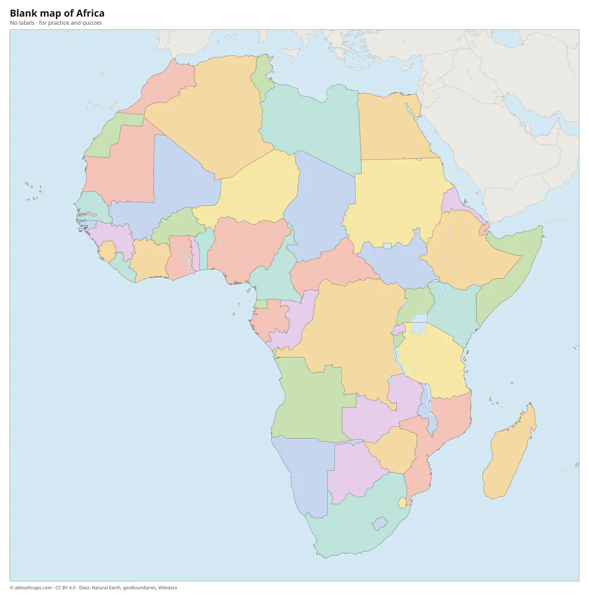 Blank map of Africa
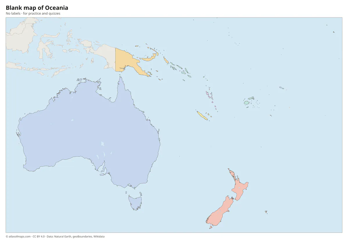 Blank map of Oceania
How to use a blank world map
- Geography quiz: write the names of the countries or capitals into the map, then check them on the labeled world map.
- Continents and oceans: color the 7 continents and label the 5 oceans (answers on the map of the continents).
- Travel map: color the countries you have visited.
- Projects: mark trade routes, climate zones or historical empires.
Frequently asked questions
What is a blank world map?
A world map with the outlines of the continents and countries but without any names or labels. It is also called an outline map or a world map template.
What size is the printable blank world map?
The PDF is sized for US Letter paper in landscape and also fits A4. Because it is a vector file, it can also be printed larger, for example as a poster.
Is the blank world map free?
Yes. It is free for personal, school and commercial use under the CC BY 4.0 license; please credit Atlas of Maps.
Use this map
You can download, print and share this map for free, in class, in school projects, in presentations and on websites, as long as you credit the source: Blank world map · Atlas of Maps (atlasofmaps.com), license CC BY 4.0.