Map of Australia with states and territories and capitals
Australia is a country in Oceania made up of the Australian mainland, the island of Tasmania and many smaller islands. It has no land borders and lies between the Indian and Pacific Oceans, with Indonesia and Papua New Guinea to the north. The political map shows its 6 states and 3 mainland territories, plus outlying island territories, the capital, Canberra, and major cities.

- Capital
- Canberra
- Population
- 27.6 million (2025)
- Area
- 7,692,024 km² (2,969,907 sq mi)
- Population density
- 4 per km² (9 per sq mi)
- Official language
- English
- Currency
- Australian dollar
- Demonym
- Australian
- Divisions
- 6 states and 3 mainland territories, plus outlying island territories
- Highest point
- Mawson Peak (2,745 m (9,006 ft))
- Calling code
- +61
- Internet domain
- .au
Where is Australia?
Australia is a country in Oceania made up of the Australian mainland, the island of Tasmania and many smaller islands. It has no land borders and lies between the Indian and Pacific Oceans, with Indonesia and Papua New Guinea to the north.

States and Territories of Australia and their capitals
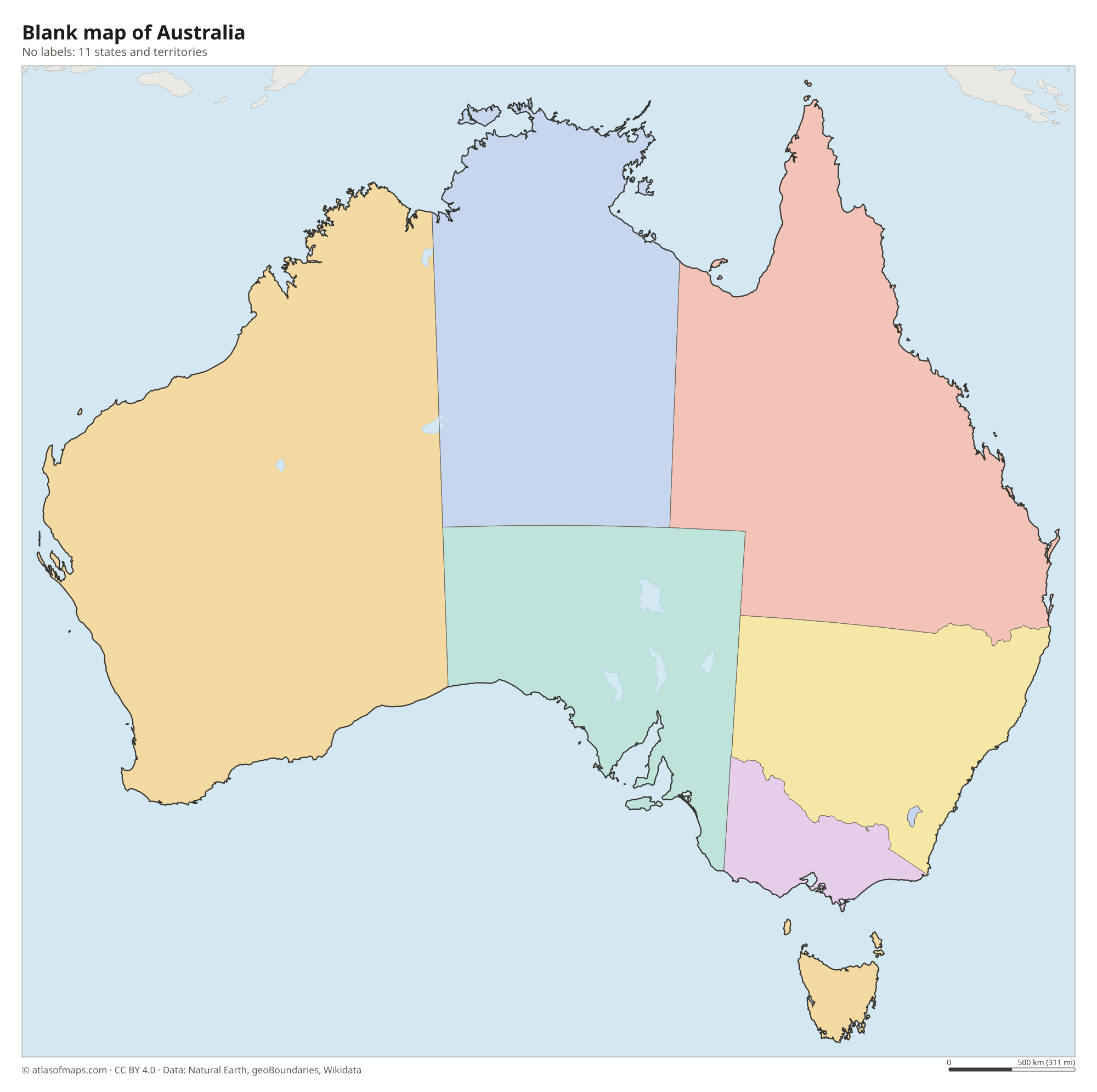
Australia has 6 states (New South Wales, Victoria, Queensland, South Australia, Western Australia and Tasmania) and 3 mainland territories: the Northern Territory, the Australian Capital Territory around Canberra, and the small Jervis Bay Territory. The map also shows outlying islands such as Lord Howe Island and Macquarie Island.
| State | Capital | Population | Area |
|---|---|---|---|
| Australian Capital Territory | Canberra | 481,700 | 2,358 km² (910 sq mi) |
| Jervis Bay Territory | — | 310 | 67 km² (26 sq mi) |
| Lord Howe Island | — | — | — |
| Macquarie Island | — | 20 | 128 km² (49 sq mi) |
| New South Wales | Sydney | 8,545,100 | 801,150 km² (309,326 sq mi) |
| Northern Territory | Darwin | 262,200 | 1,347,791 km² (520,385 sq mi) |
| Queensland | Brisbane | 5,618,800 | 1,729,742 km² (667,857 sq mi) |
| South Australia | Adelaide | 1,891,700 | 984,321 km² (380,048 sq mi) |
| Tasmania | Hobart | 539,590 | 68,401 km² (26,410 sq mi) |
| Victoria | Melbourne | 7,074,468 | 227,444 km² (87,817 sq mi) |
| Western Australia | Perth | 3,008,700 | 2,527,013 km² (975,685 sq mi) |
Population from Wikidata (latest figure available for each state).
Blank and coloring maps of Australia
Blank map of Australia

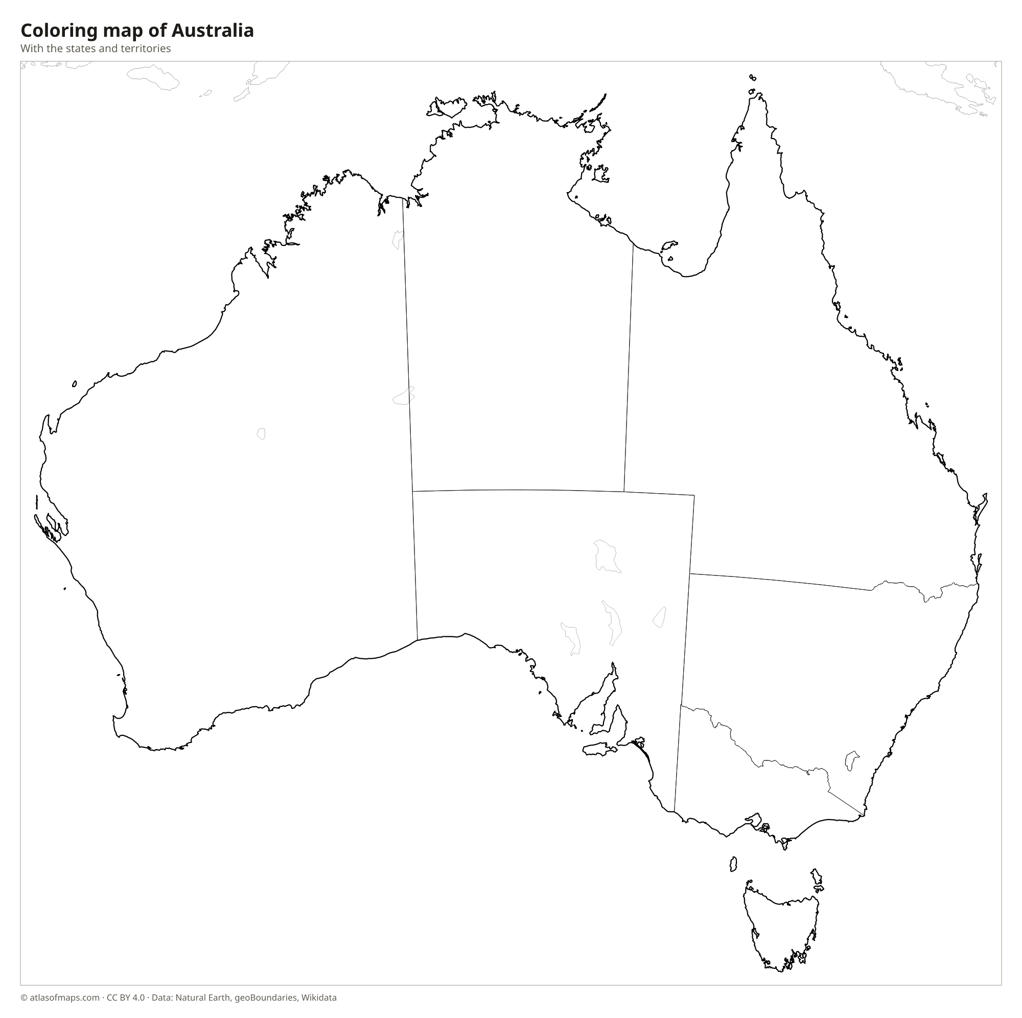
Coloring map of Australia

Geography of Australia
Australia covers 7,692,024 km² (2,969,907 sq mi) and is the sixth-largest country in the world, yet it is also the flattest inhabited continent. The Great Dividing Range runs down the east side from Queensland to Victoria, and its highest peak, Mount Kosciuszko, reaches 2,228 m (7,310 ft), the highest point on the mainland. West of the range lie broad plains and the dry Outback, including the Great Victoria, Great Sandy, Gibson, Tanami and Simpson deserts. The country's highest point overall, Mawson Peak at 2,745 m (9,006 ft), is a volcano on remote Heard Island in the Southern Ocean.
The Murray River and its tributary the Darling form the largest river system, in the southeast. Many inland rivers flow only after rain and end in salt lakes such as Kati Thanda-Lake Eyre, the lowest point, which fills only occasionally. Off the Queensland coast, the Great Barrier Reef stretches for more than 2,000 km (1,200 mi). The north has a tropical climate with a wet season, the interior is hot and arid, and the southeast and southwest are temperate. About 27.6 million people (2025) live in Australia, most of them in coastal cities.
Fun facts
- Australia is the only country that occupies an entire continent.
- The Great Barrier Reef, off Queensland, is the largest coral reef system in the world.
- Uluru, a huge sandstone monolith in the Northern Territory, is sacred to the Anangu people and protected in Uluru-Kata Tjuta National Park.
Flag of Australia
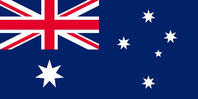
The flag of Australia is dark blue with the Union Jack in the upper left corner. Below it is a large white seven-pointed star, the Commonwealth Star. The right half shows the Southern Cross constellation in white: four seven-pointed stars and one small five-pointed star.
Frequently asked questions
How many states does Australia have?
Australia has 6 states: New South Wales, Victoria, Queensland, South Australia, Western Australia and Tasmania. It also has 3 mainland territories, including the Northern Territory and the Australian Capital Territory.
Is Australia a country or a continent?
Both. Australia is a country, and its mainland forms most of the Australian continent. Together with New Zealand and the Pacific islands, it makes up the region called Oceania.
What ocean is Australia in?
Australia lies between the Indian Ocean to the west and the Pacific Ocean to the east. The Southern Ocean lies to its south, and the Timor and Arafura Seas lie to the north.
What is the capital of Australia?
The capital of Australia is Canberra.
What countries border Australia?
Australia has no land borders with other countries: all its borders are at sea.
What language is spoken in Australia?
The official language is English.
Can I print the map of Australia?
Yes. Every map on this page can be downloaded for free as PNG or PDF (US Letter) and printed, including the blank map and the coloring map. Please credit the source (Atlas of Maps, CC BY 4.0).
Use this map
You can download, print and share this map for free, in class, in school projects, in presentations and on websites, as long as you credit the source: Map of Australia · Atlas of Maps (atlasofmaps.com), license CC BY 4.0.
See also: Map of Oceania · World map