Map of the Philippines
The Philippines is an island country in Southeast Asia, in the western Pacific Ocean. It has no land borders; its nearest neighbors are Taiwan to the north, Malaysia and Indonesia to the south, and Vietnam across the South China Sea to the west. The political map shows its regions, the capital, Manila, and major cities.

- Capital
- Manila
- Population
- 112.7 million (2024)
- Area
- 343,448 km² (132,606 sq mi)
- Population density
- 328 per km² (850 per sq mi)
- Official languages
- Filipino, English, and Taglish
- Currency
- Philippine peso
- Demonym
- Filipino
- Highest point
- Mount Apo (2,954 m (9,692 ft))
- Calling code
- +63
- Internet domain
- .ph
- Official name
- Republic of the Philippines
Where is the Philippines?
The Philippines is an island country in Southeast Asia, in the western Pacific Ocean. It has no land borders; its nearest neighbors are Taiwan to the north, Malaysia and Indonesia to the south, and Vietnam across the South China Sea to the west.

Regions of the Philippines and their capitals
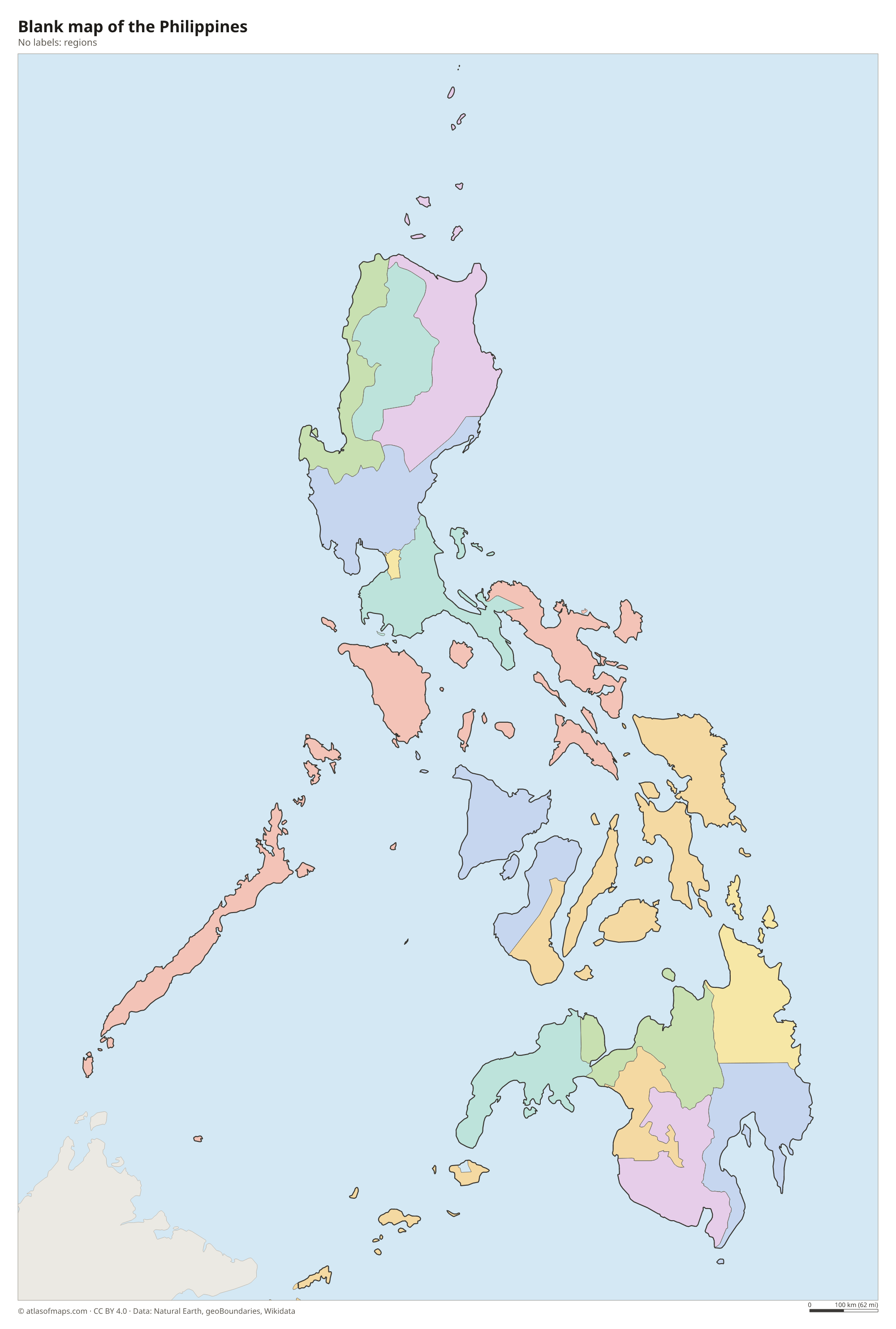
The Philippines is organized into regions, which group its provinces and cities, including the Bangsamoro Autonomous Region in Muslim Mindanao. The divisions on the map come from Natural Earth and may not match the latest reorganization of regions and provinces.
The divisions on the map come from Natural Earth and may not reflect the latest territorial reform in the Philippines.
| Region | Capital | Population | Area |
|---|---|---|---|
| Bangsamoro | Parang | 5,691,583 | 12,712 km² (4,908 sq mi) |
| Bicol Region | Legazpi | 6,064,426 | 18,156 km² (7,010 sq mi) |
| Cagayan Valley | Tuguegarao | 3,777,608 | 28,229 km² (10,899 sq mi) |
| Calabarzon | Calamba | 16,933,234 | 16,873 km² (6,515 sq mi) |
| Caraga | Butuan | 2,865,196 | 21,478 km² (8,293 sq mi) |
| Central Luzon | San Fernando | 12,989,074 | 22,015 km² (8,500 sq mi) |
| Central Visayas | — | — | — |
| Cordillera Administrative Region | Baguio | 1,808,985 | 19,422 km² (7,499 sq mi) |
| Davao Region | Davao City | 5,389,422 | — |
| Eastern Visayas | Tacloban | 4,625,929 | 23,251 km² (8,977 sq mi) |
| Ilocos Region | San Fernando | 5,342,453 | 13,013 km² (5,024 sq mi) |
| Mimaropa | Calapan | 3,245,446 | 29,621 km² (11,437 sq mi) |
| National Capital Region | — | — | — |
| Northern Mindanao | Cagayan de Oro | 5,178,326 | 20,496 km² (7,914 sq mi) |
| Soccsksargen | Koronadal | 4,462,776 | 22,513 km² (8,692 sq mi) |
| Western Visayas | Iloilo City | 4,861,911 | 20,794 km² (8,029 sq mi) |
| Zamboanga Peninsula | Pagadian | 3,943,837 | 17,057 km² (6,586 sq mi) |
Population from Wikidata (latest figure available for each region).
Blank and coloring maps of the Philippines
Blank map of the Philippines

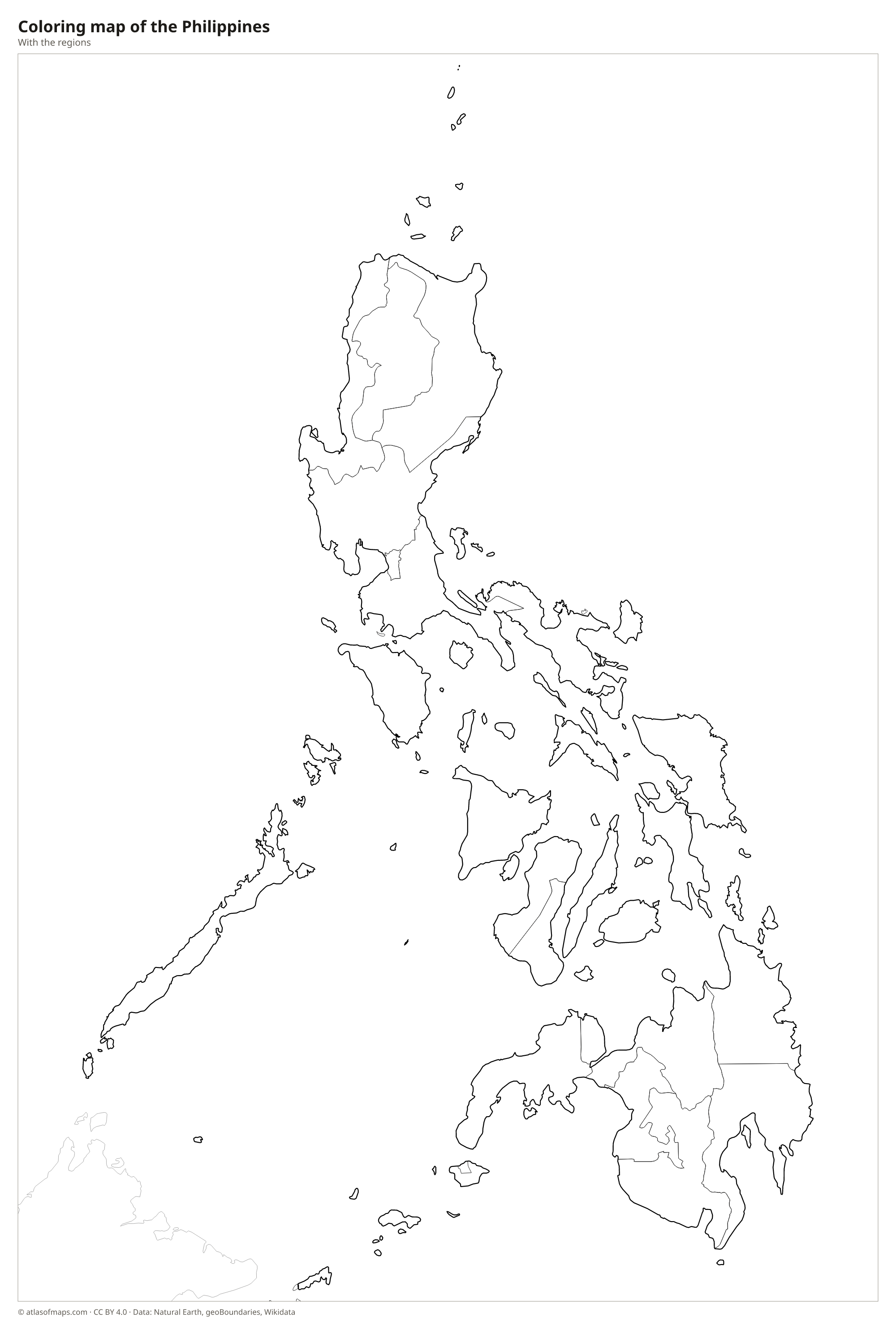
Coloring map of the Philippines

Geography of the Philippines
The Philippines is made up of more than 7,000 islands, grouped into three main areas: Luzon in the north, the Visayas in the center and Mindanao in the south. Luzon and Mindanao are by far the largest islands. Most islands are mountainous and volcanic, because the country lies on the Pacific Ring of Fire. Well-known volcanoes include the near-perfect cone of Mayon, Taal, which sits inside a lake south of Manila, and Mount Pinatubo, which erupted in 1991. The highest point is Mount Apo on Mindanao, at 2,954 m (9,692 ft).
Rivers are generally short, but the Cagayan River in northern Luzon is the longest, and Laguna de Bay next to Metro Manila is the largest lake. The islands have long, indented coastlines with bays, coral reefs and white sand beaches, and they are bordered by the Philippine Sea to the east, the South China Sea to the west and the Sulu and Celebes Seas to the south. The climate is tropical and humid, with a dry season and a rainy season, and typhoons strike often, especially in the north and east.
Fun facts
- Quezon City, not Manila, is the most populous city in the Philippines.
- The Chocolate Hills of Bohol are more than 1,000 grass-covered limestone mounds that turn brown in the dry season.
- The Philippine Trench, east of Mindanao, is one of the deepest places in the world's oceans.
Flag of the Philippines
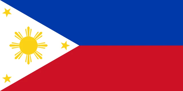
The flag of the Philippines has two equal horizontal stripes, blue on top and red below, and a white equilateral triangle at the hoist. Inside the triangle is a golden yellow sun with eight main rays, and a yellow five-pointed star sits in each of the triangle's three corners.
Frequently asked questions
How many islands are in the Philippines?
The Philippines has more than 7,000 islands; an official survey counted over 7,600. Most people live on the largest islands, Luzon and Mindanao, and on the main islands of the Visayas.
Does the Philippines border any countries?
No. The Philippines has no land borders. Its closest neighbors across the sea are Taiwan to the north, Malaysia and Indonesia to the south, Vietnam to the west and Palau to the east.
What is the capital of the Philippines?
The capital is Manila, on Manila Bay in western Luzon. It is part of Metro Manila, a large urban region that also includes Quezon City, the country's most populous city.
What language is spoken in the Philippines?
The official languages are Filipino, English, and Taglish.
Can I print the map of the Philippines?
Yes. Every map on this page can be downloaded for free as PNG or PDF (US Letter) and printed, including the blank map and the coloring map. Please credit the source (Atlas of Maps, CC BY 4.0).
Use this map
You can download, print and share this map for free, in class, in school projects, in presentations and on websites, as long as you credit the source: Map of the Philippines · Atlas of Maps (atlasofmaps.com), license CC BY 4.0.
See also: Map of Asia · Map of Southeast Asia · World map