Map of Southeast Asia with countries and capitals
Southeast Asia is the part of Asia south of China and east of India, made up of a mainland peninsula and thousands of islands between the Indian and Pacific oceans. The South China Sea lies at its center, and Australia lies to the south across the Timor and Arafura seas. The map shows its 11 countries.

Southeast Asia lies on the Pacific Ring of Fire, and Indonesia and the Philippines have many active volcanoes and frequent earthquakes. On the mainland, mountain ranges run from north to south, separating the valleys of great rivers: the Irrawaddy in Myanmar, the Chao Phraya in Thailand, the Red River in northern Vietnam and the Mekong, which flows through or along Myanmar, Laos, Thailand, Cambodia and Vietnam to a vast delta. The islands include Borneo, the third-largest island in the world, as well as Sumatra, Java and the western half of New Guinea. The climate is hot and humid all year, monsoon winds bring a long wet season, and tropical rainforest covers large areas.
The region is usually split into Mainland Southeast Asia (Myanmar, Thailand, Laos, Cambodia, Vietnam and Peninsular Malaysia) and Maritime Southeast Asia (Indonesia, the Philippines, Singapore, Brunei, East Timor and East Malaysia on Borneo). Indonesia is the largest country at 1,904,570 km² (735,358 sq mi) and also the most populous; Singapore, a city-state of 719 km² (278 sq mi), is the smallest. Several islands are shared: Borneo by Indonesia, Malaysia and Brunei, Timor by Indonesia and East Timor, and New Guinea by Indonesia and Papua New Guinea, which is counted in Oceania. Laos is the only landlocked country. Capitals include Jakarta, Bangkok, Hanoi, Manila and Kuala Lumpur, and Myanmar's capital is Naypyidaw, not Yangon.
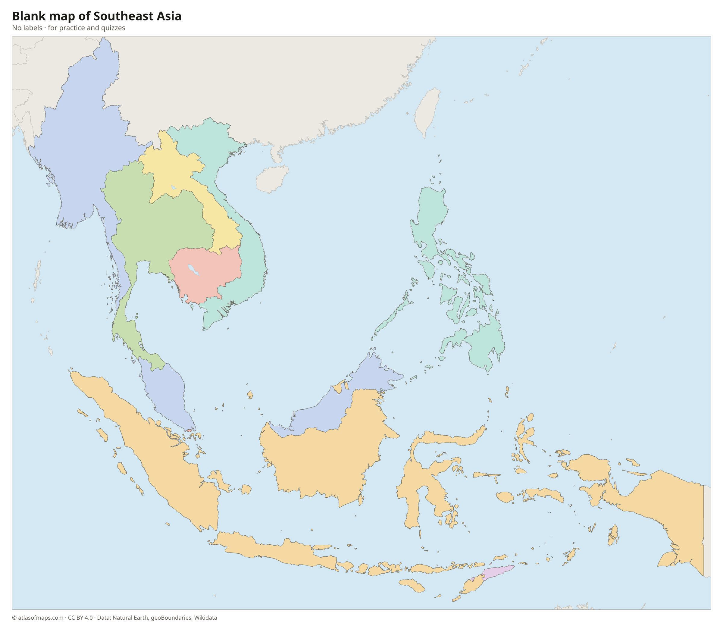
Blank and coloring maps of Southeast Asia
Blank map of Southeast Asia

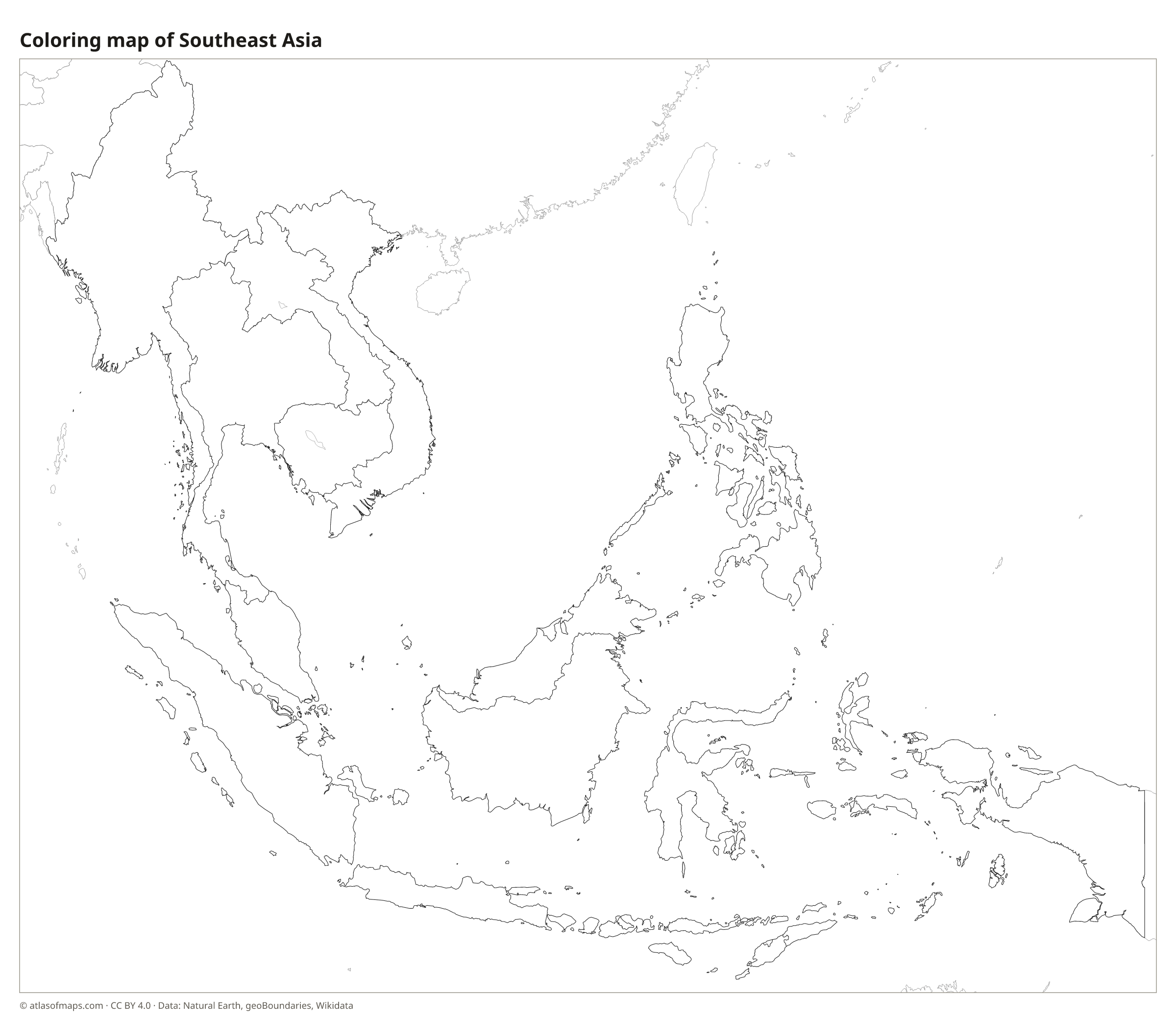
Coloring map of Southeast Asia

Countries of Southeast Asia and their capitals
List of the countries of Southeast Asia sorted by area and population →
| Country | Capital | Population | Area |
|---|---|---|---|
| Brunei | Bandar Seri Begawan | 458,949 | 5,765 km² (2,226 sq mi) |
| Cambodia | Phnom Penh | 17,423,880 | 181,035 km² (69,898 sq mi) |
| East Timor | Dili | 1,400,638 | 14,919 km² (5,760 sq mi) |
| Indonesia | Jakarta | 275,439,000 | 1,904,570 km² (735,359 sq mi) |
| Laos | Vientiane | 6,858,160 | 236,800 km² (91,429 sq mi) |
| Malaysia | Kuala Lumpur | 34,231,700 | 330,803 km² (127,724 sq mi) |
| Myanmar | Naypyidaw | 53,370,609 | 676,577 km² (261,228 sq mi) |
| Philippines | Manila | 112,729,484 | 343,448 km² (132,606 sq mi) |
| Singapore | Singapore | 5,866,139 | 719 km² (278 sq mi) |
| Thailand | Bangkok | 66,188,503 | 513,120 km² (198,117 sq mi) |
| Vietnam | Hanoi | 96,208,984 | 331,690 km² (128,066 sq mi) |
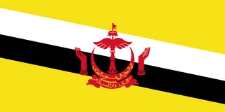
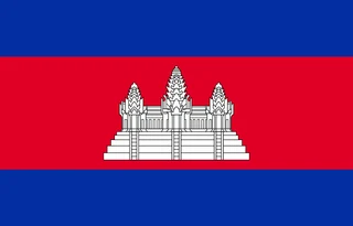
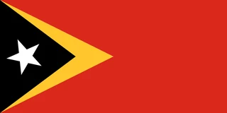
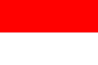
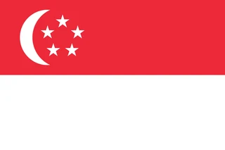
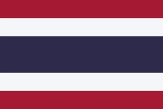
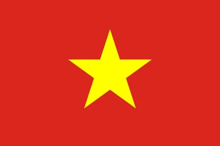
Flags of Southeast Asia
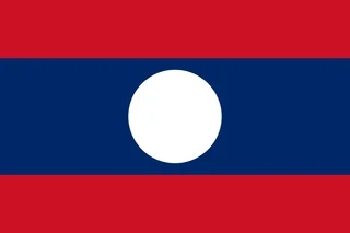
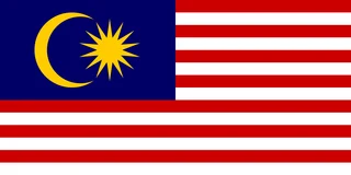
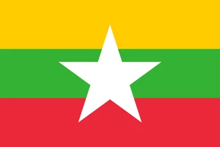
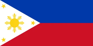
Frequently asked questions
Which countries are in Southeast Asia?
Southeast Asia has 11 countries: Brunei, Cambodia, East Timor, Indonesia, Laos, Malaysia, Myanmar, the Philippines, Singapore, Thailand and Vietnam. East Timor is also known as Timor-Leste.
What is the largest country in Southeast Asia?
Indonesia is the largest country in Southeast Asia, at 1,904,570 km² (735,358 sq mi), and also the most populous, with about 275 million people. Myanmar is the largest country on the mainland.
Is Papua New Guinea part of Southeast Asia?
No. Papua New Guinea is usually counted in Oceania, although it shares the island of New Guinea with Indonesia. The western half of the island belongs to Indonesia and is therefore part of Southeast Asia.
What is the most populous country in Southeast Asia?
Indonesia, with about 275.4 million people.
What is the smallest country in Southeast Asia?
Singapore, with 719 km² (278 sq mi).
Where can I download a printable map of Southeast Asia?
On this page: the political map, the blank map and the coloring map can be downloaded for free as PNG and PDF.
Use this map
You can download, print and share this map for free, in class, in school projects, in presentations and on websites, as long as you credit the source: Map of Southeast Asia · Atlas of Maps (atlasofmaps.com), license CC BY 4.0.
More maps: Map of Europe · Map of Asia · Map of Africa · Map of Oceania · Map of North America · Map of South America · Map of Central America · Map of the Caribbean · Map of the Middle East · Map of the European Union · Map of Latin America · World map