Map of the United Arab Emirates with regions and capitals
The United Arab Emirates (UAE) is a country in the Middle East, on the eastern side of the Arabian Peninsula. It borders Saudi Arabia to the south and west and Oman to the east, with coasts on the Persian Gulf and the Gulf of Oman. The political map shows its 7 regions, the capital, Abu Dhabi, and major cities.

- Capital
- Abu Dhabi
- Population
- 9.9 million (2020)
- Area
- 83,600 km² (32,278 sq mi)
- Population density
- 118 per km² (306 per sq mi)
- Official language
- Arabic
- Currency
- United Arab Emirates dirham
- Demonym
- Emirati
- Regions
- 7
- Highest point
- Jebel Jais (1,911 m (6,270 ft))
- Calling code
- +971
- Internet domain
- .ae
- Also known as
- UAE
Where is the United Arab Emirates?
The United Arab Emirates (UAE) is a country in the Middle East, on the eastern side of the Arabian Peninsula. It borders Saudi Arabia to the south and west and Oman to the east, with coasts on the Persian Gulf and the Gulf of Oman.
Neighboring countries: Oman, Saudi Arabia.

Regions of the United Arab Emirates and their capitals
The UAE is a federation of 7 emirates: Abu Dhabi, Dubai, Sharjah, Ajman, Umm Al Quwain, Ras Al Khaimah and Fujairah. Abu Dhabi covers most of the country's area and holds the federal capital, while Sharjah also has small exclaves on the east coast.
| Region | Capital | Population | Area |
|---|---|---|---|
| Abu Dhabi | Abu Dhabi | 2,908,173 | 73,060 km² (28,209 sq mi) |
| Ajman | Ajman | 504,836 | 259 km² (100 sq mi) |
| Dubai | Dubai | 3,825,000 | 4,114 km² (1,588 sq mi) |
| Fujairah | Fujairah | 256,256 | 1,165 km² (450 sq mi) |
| Ras Al Khaimah | Ras al-Khaimah | 241,000 | 2,486 km² (960 sq mi) |
| Sharjah | Sharjah | 1,405,843 | 2,590 km² (1,000 sq mi) |
| Umm Al Quwain | Umm Al Quwain | 73,000 | 777 km² (300 sq mi) |
Population from Wikidata (latest figure available for each region).
Blank and coloring maps of the United Arab Emirates
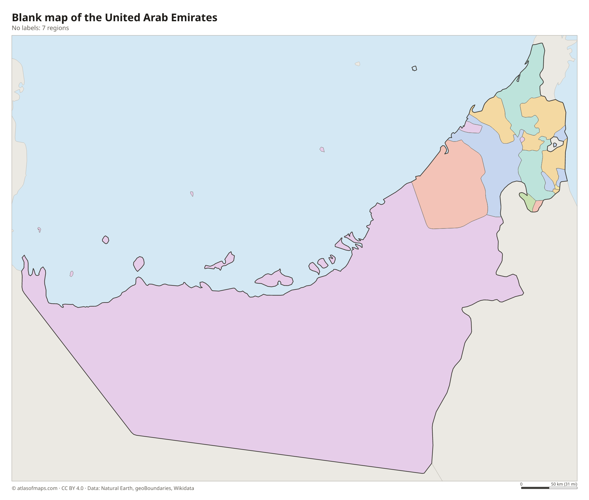
Blank map of the United Arab Emirates

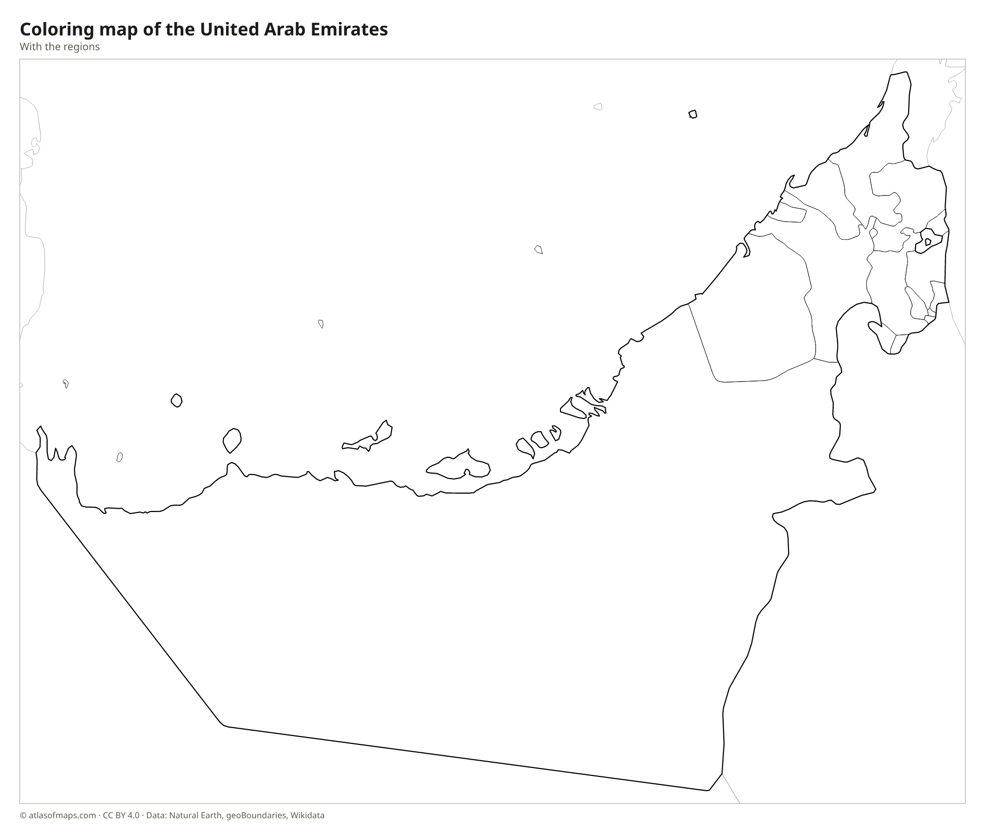
Coloring map of the United Arab Emirates

Geography of the United Arab Emirates
The UAE covers about 83,600 km² (32,278 sq mi), and most of it is flat desert. Sand dunes spread across the south and west, rising toward the Rub' al Khali, or Empty Quarter, on the Saudi border, where the Liwa Oasis lies. Along the Persian Gulf are low salt flats called sabkhas, lagoons and many islands, including the island on which the city of Abu Dhabi stands. In the east, the rocky Hajar Mountains rise along the border with Oman, and Jebel Jais, in Ras Al Khaimah, reaches 1,911 m (6,270 ft), the highest point in the country.
The UAE has no permanent rivers or lakes. Dry stream beds called wadis fill briefly after rare storms, and fresh water comes mostly from desalination plants and underground sources. The short east coast on the Gulf of Oman, around Fujairah, is backed by mountains and lies outside the Strait of Hormuz, while the long west coast faces the shallow Persian Gulf. The climate is hot desert, with extremely hot, humid summers and mild winters, when most of the small yearly rainfall comes.
Fun facts
- The Burj Khalifa in Dubai has been the tallest building in the world since it was completed in 2010.
- The Palm Jumeirah off the coast of Dubai is an artificial island shaped like a palm tree.
- The emirate of Abu Dhabi alone makes up most of the land area of the UAE.
Flag of the United Arab Emirates
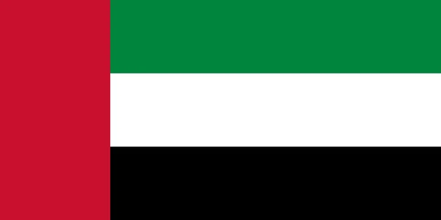
The flag of the United Arab Emirates has three horizontal stripes of green, white and black, from top to bottom, and a vertical red band along the hoist that runs the full height of the flag. It carries no emblem or writing.
Flag of the United Arab Emirates: meaning, colors and download →
Countries bordering the United Arab Emirates
Frequently asked questions
What countries border the UAE?
The United Arab Emirates borders two countries: Saudi Arabia to the south and west, and Oman to the east. Oman's Musandam Peninsula is separated from the rest of Oman by UAE territory.
How many emirates are in the UAE?
The UAE has 7 emirates: Abu Dhabi, Dubai, Sharjah, Ajman, Umm Al Quwain, Ras Al Khaimah and Fujairah. Each has its own ruler, and together they form the federal government.
What is the capital of the UAE?
The capital of the United Arab Emirates is Abu Dhabi, on an island off the Persian Gulf coast. Dubai, farther northeast along the coast, is the largest city.
How many regions does the United Arab Emirates have?
The United Arab Emirates is divided into 7 regions: Abu Dhabi, Ajman, Dubai, Fujairah, Ras Al Khaimah, Sharjah, and Umm Al Quwain.
What language is spoken in the United Arab Emirates?
The official language is Arabic.
Can I print the map of the United Arab Emirates?
Yes. Every map on this page can be downloaded for free as PNG or PDF (US Letter) and printed, including the blank map and the coloring map. Please credit the source (Atlas of Maps, CC BY 4.0).
Use this map
You can download, print and share this map for free, in class, in school projects, in presentations and on websites, as long as you credit the source: Map of the United Arab Emirates · Atlas of Maps (atlasofmaps.com), license CC BY 4.0.
See also: Map of Asia · Map of the Middle East · World map