Map of Iran with provinces and capitals
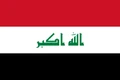
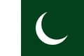
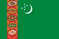
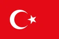
Iran is a country in Western Asia, in the Middle East. It borders Iraq, Turkey, Armenia, Azerbaijan, Turkmenistan, Afghanistan and Pakistan, with the Caspian Sea to the north and the Persian Gulf and the Gulf of Oman to the south. The political map shows its 31 provinces, the capital, Tehran, and major cities.

- Capital
- Tehran
- Population
- 92.4 million (2025)
- Area
- 1,648,195 km² (636,372 sq mi)
- Population density
- 56 per km² (145 per sq mi)
- Official language
- Persian
- Currency
- Iranian rial
- Demonym
- Iranian
- Provinces
- 31
- Highest point
- Damavand (5,610 m (18,406 ft))
- Calling code
- +98
- Internet domain
- .ir
Where is Iran?
Iran is a country in Western Asia, in the Middle East. It borders Iraq, Turkey, Armenia, Azerbaijan, Turkmenistan, Afghanistan and Pakistan, with the Caspian Sea to the north and the Persian Gulf and the Gulf of Oman to the south.
Neighboring countries: Afghanistan, Armenia, Azerbaijan, Iraq, Pakistan, Turkmenistan, Turkey.

Provinces of Iran and their capitals
Iran is divided into 31 provinces, each usually named after a region or its main city, such as Tehran, Isfahan, Fars and Khuzestan. Tehran Province contains the capital, Tehran, and Razavi Khorasan contains the city of Mashhad.
| Province | Capital | Population | Area |
|---|---|---|---|
| Alborz | Karaj | 2,712,400 | 5,833 km² (2,252 sq mi) |
| Ardabil | Ardabil | 1,270,420 | 17,800 km² (6,873 sq mi) |
| Bushehr | Bushehr | 1,163,400 | 22,743 km² (8,781 sq mi) |
| Chaharmahal and Bakhtiari | Shahr-e Kord | 947,763 | 16,332 km² (6,306 sq mi) |
| East Azerbaijan | Tabriz | 3,909,652 | 45,650 km² (17,626 sq mi) |
| Fars | Shiraz | 4,851,274 | 122,608 km² (47,339 sq mi) |
| Gilan | Rasht | 2,530,696 | 14,042 km² (5,422 sq mi) |
| Golestan | Gorgan | 1,868,819 | 20,367 km² (7,864 sq mi) |
| Hamadan | Hamadan | 1,738,234 | 19,368 km² (7,478 sq mi) |
| Hormozgan | Bandar Abbas | 1,776,415 | 70,697 km² (27,296 sq mi) |
| Ilam | Ilam | 580,158 | 20,133 km² (7,773 sq mi) |
| Isfahan | Isfahan | 5,120,850 | 107,029 km² (41,324 sq mi) |
| Kerman | Kerman | 3,164,718 | 180,726 km² (69,779 sq mi) |
| Kermanshah | Kermanshah | 1,952,434 | 25,009 km² (9,656 sq mi) |
| Khuzestan | Ahvaz | 4,710,509 | 64,055 km² (24,732 sq mi) |
| Kohgiluyeh and Boyer-Ahmad | Yasuj | 713,052 | 15,504 km² (5,986 sq mi) |
| Kurdistan | Sanandaj | 1,603,011 | 29,137 km² (11,250 sq mi) |
| Lorestan | Khorramabad | 1,760,649 | 28,294 km² (10,924 sq mi) |
| Markazi | Arak | 1,429,475 | 29,127 km² (11,246 sq mi) |
| Mazandaran | Sari | 3,283,582 | 23,842 km² (9,205 sq mi) |
| North Khorasan | Bojnord | 863,092 | 28,434 km² (10,978 sq mi) |
| Qazvin | Qazvin | 1,273,761 | 15,567 km² (6,010 sq mi) |
| Qom | Qom | 1,292,283 | 11,526 km² (4,450 sq mi) |
| Razavi Khorasan | Mashhad | 6,434,501 | 118,884 km² (45,901 sq mi) |
| Semnan | Semnan | 702,360 | 97,491 km² (37,641 sq mi) |
| Sistan and Baluchestan | Zahedan | 2,775,014 | 181,785 km² (70,188 sq mi) |
| South Khorasan | Birjand | 768,898 | 151,193 km² (58,376 sq mi) |
| Tehran | Tehran | 13,267,637 | 18,814 km² (7,264 sq mi) |
| West Azerbaijan | Urmia | 3,265,219 | 37,437 km² (14,455 sq mi) |
| Yazd | Yazd | 1,138,533 | 76,469 km² (29,525 sq mi) |
| Zanjan | Zanjan | 1,057,461 | 21,773 km² (8,407 sq mi) |
Population from Wikidata (latest figure available for each province).
Blank and coloring maps of Iran
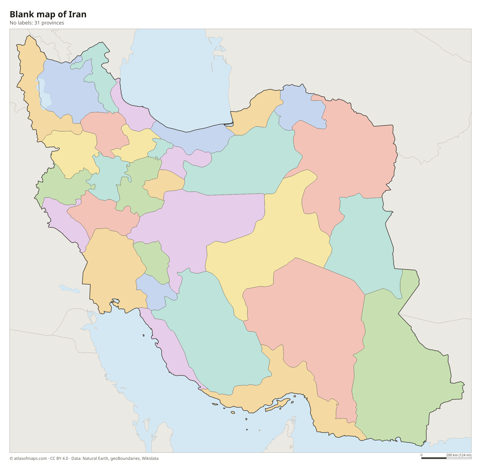
Blank map of Iran

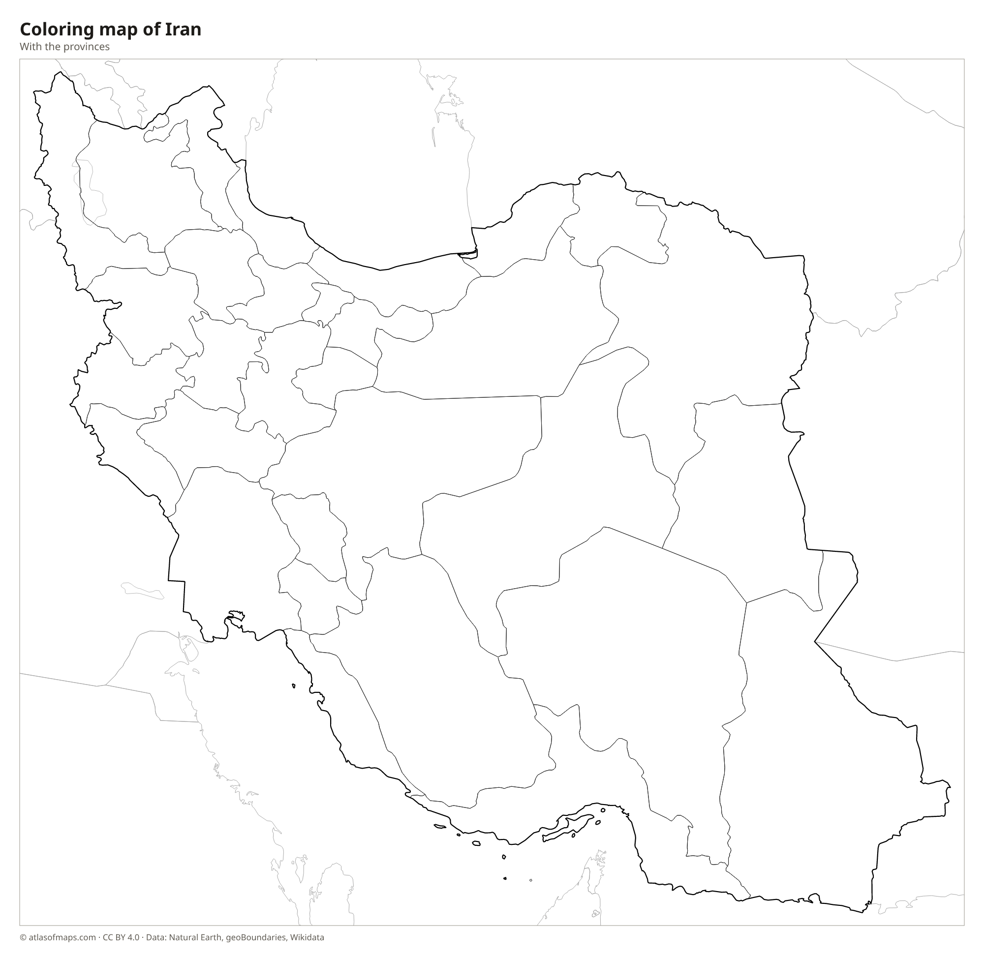
Coloring map of Iran

Geography of Iran
Iran covers 1,648,195 km² (636,372 sq mi), and most of it is a high plateau surrounded by mountains. The long Zagros Mountains run from the northwest down toward the Persian Gulf, while the Alborz range curves along the south shore of the Caspian Sea. In the Alborz rises Damavand, a dormant volcano and the country's highest point at 5,610 m (18,406 ft). The center and east are dry basins with two great deserts, the salt-crusted Dasht-e Kavir and the Dasht-e Lut, where satellites have measured some of the hottest ground temperatures on Earth.
Few rivers reach the sea. The Karun, the longest, flows through the plains of Khuzestan to the Shatt al-Arab and the Persian Gulf, and many inland rivers end in salt lakes or marshes. Lake Urmia in the northwest, once a very large salt lake, has shrunk sharply in recent decades. The Caspian coast in Gilan and Mazandaran is green and humid, with rice fields and forests, while most of the country is arid, with hot summers and cold winters on the plateau. In the south, the Strait of Hormuz links the Persian Gulf to the open ocean.
Fun facts
- Iran is the only country with coasts on both the Caspian Sea and the Persian Gulf.
- The Lut Desert, a UNESCO World Heritage Site, is known for huge wind-carved ridges called kaluts.
- The ruins of Persepolis, near Shiraz, were a ceremonial capital of the ancient Persian Empire.
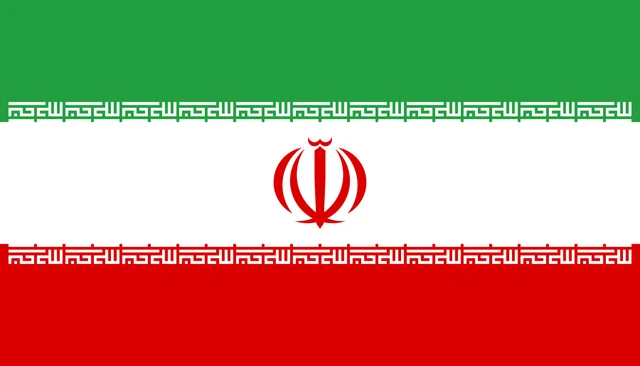
Flag of Iran
Iran's flag has three equal horizontal stripes: green on top, white in the middle and red at the bottom. In the center is a red emblem, a stylized form of the word Allah shaped somewhat like a tulip. Along the inner edges of the green and red stripes, the phrase Allahu Akbar is written 22 times in white Kufic script. The ratio is 4:7.
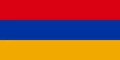
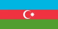
Countries bordering Iran
Frequently asked questions
What countries border Iran?
Iran borders seven countries: Iraq and Turkey to the west, Armenia, Azerbaijan and Turkmenistan to the north, and Afghanistan and Pakistan to the east.
How many provinces does Iran have?
Iran has 31 provinces. The capital, Tehran, lies in Tehran Province, and other well-known provinces include Isfahan, Fars, Khuzestan and Razavi Khorasan, home to the city of Mashhad.
Is Iran the same as Persia?
Yes. Persia was the name used in the West for centuries, while Iranians called their country Iran. In 1935 the government asked other countries to use the name Iran.
What is the capital of Iran?
The capital of Iran is Tehran.
What language is spoken in Iran?
The official language is Persian.
Can I print the map of Iran?
Yes. Every map on this page can be downloaded for free as PNG or PDF (US Letter) and printed, including the blank map and the coloring map. Please credit the source (Atlas of Maps, CC BY 4.0).
Use this map
You can download, print and share this map for free, in class, in school projects, in presentations and on websites, as long as you credit the source: Map of Iran · Atlas of Maps (atlasofmaps.com), license CC BY 4.0.
See also: Map of Asia · Map of the Middle East · World map