Map of Central America with countries and capitals
Central America is the narrow isthmus that links Mexico with South America, running southeast from the borders of Guatemala and Belize with Mexico to the border between Panama and Colombia. The Pacific Ocean lies to the south and west, and the Caribbean Sea to the north and east. The map shows its seven countries, which are part of the North American continent.

A chain of volcanoes runs along the Pacific side of Central America, from Guatemala through El Salvador and Nicaragua to Costa Rica, and earthquakes are frequent. Several capitals, including Guatemala City, Tegucigalpa and San José, lie in highland valleys, while lowland rainforests and mangrove coasts line the Caribbean side. Lake Nicaragua is the largest lake in the region, and the San Juan River carries its water along the border of Nicaragua and Costa Rica to the Caribbean Sea. The Panama Canal cuts across the isthmus and links the Atlantic and Pacific oceans. The climate is tropical, with distinct wet and dry seasons and cooler temperatures in the mountains, and hurricanes can strike the Caribbean coast.
Central America has seven countries: Guatemala, Belize, Honduras, El Salvador, Nicaragua, Costa Rica and Panama. In the seven-continent model they belong to North America, and Mexico, to the northwest, is usually not included. Nicaragua is the largest at 120,340 km² (46,464 sq mi), and El Salvador is the smallest at 21,041 km² (8,124 sq mi); it is also the only country in the region without a Caribbean coastline, while Belize has no Pacific coast. Spanish is the main language everywhere except Belize, where English is official. Guatemala has the most people. Together the seven countries cover about 511,085 km² (197,331 sq mi), a little more than the area of Spain.
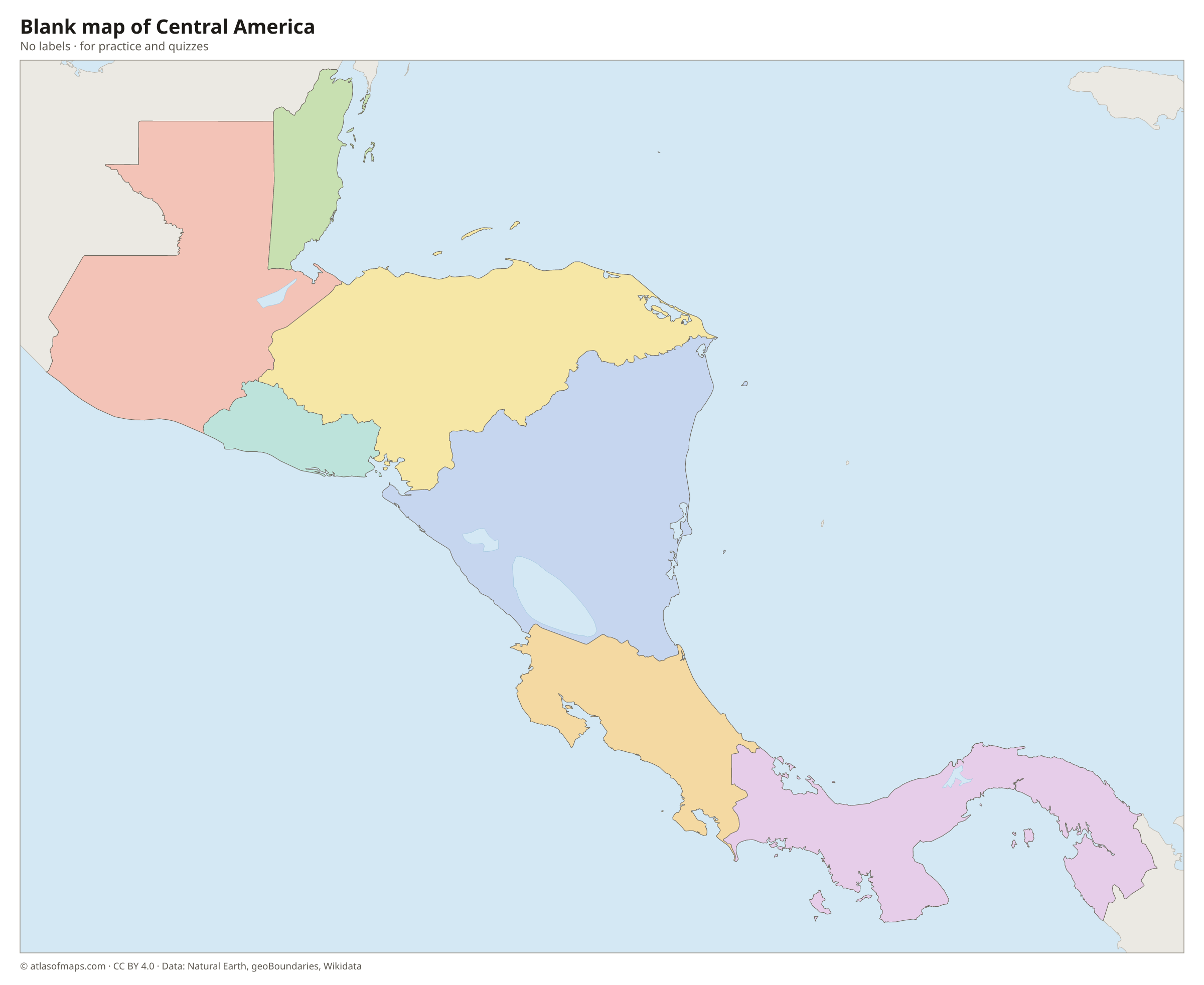
Blank and coloring maps of Central America
Blank map of Central America

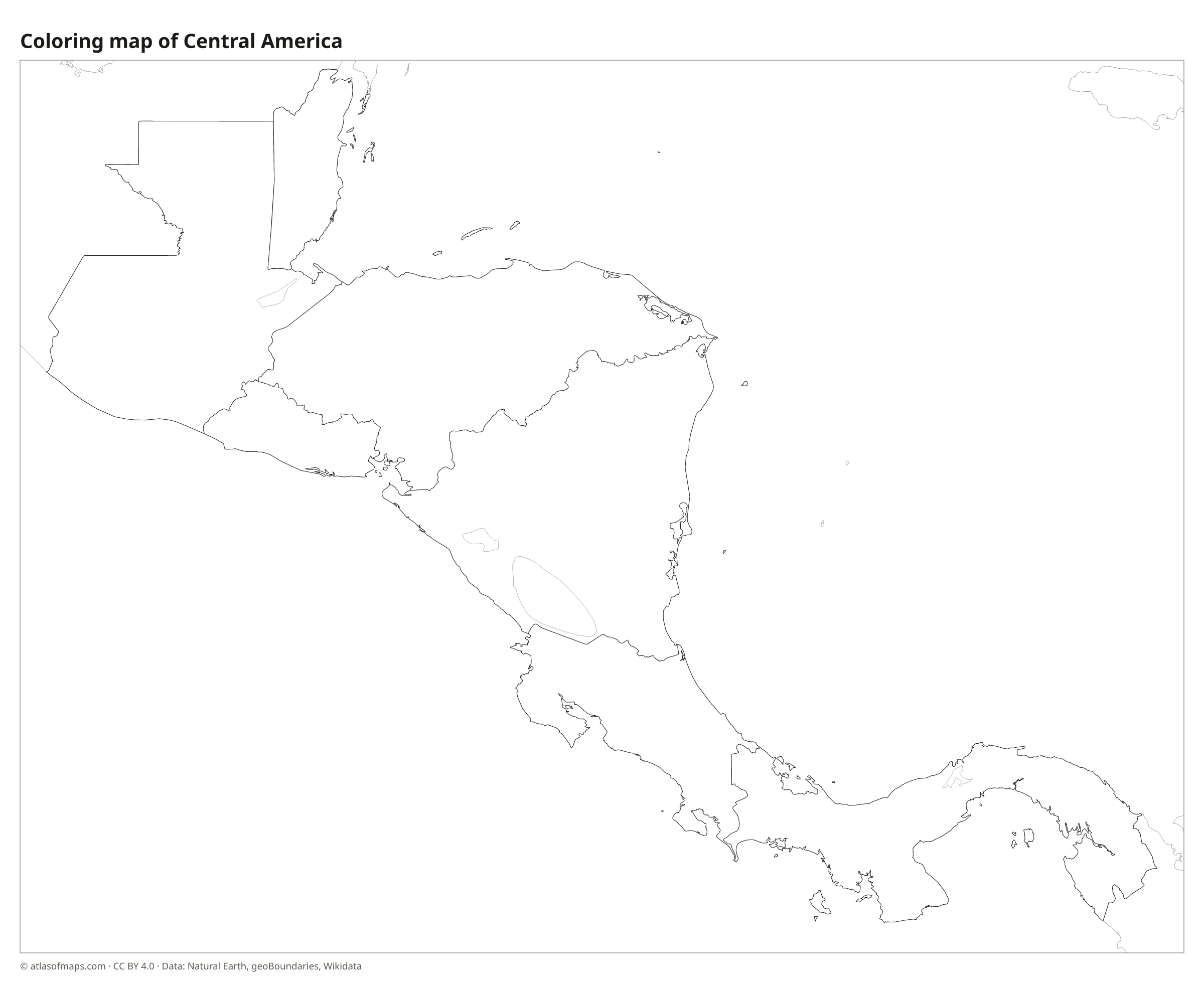
Coloring map of Central America

Countries of Central America and their capitals
List of the countries of Central America sorted by area and population →
| Country | Capital | Population | Area |
|---|---|---|---|
| Belize | Belmopan | 411,106 | 22,966 km² (8,867 sq mi) |
| Costa Rica | San José | 5,265,575 | 51,180 km² (19,761 sq mi) |
| El Salvador | San Salvador | 6,029,976 | 21,041 km² (8,124 sq mi) |
| Guatemala | Guatemala City | 17,263,239 | 108,889 km² (42,042 sq mi) |
| Honduras | Tegucigalpa | 8,303,771 | 112,492 km² (43,433 sq mi) |
| Nicaragua | Managua | 5,142,098 | 120,340 km² (46,464 sq mi) |
| Panama | Panama City | 4,570,133 | 74,177 km² (28,640 sq mi) |
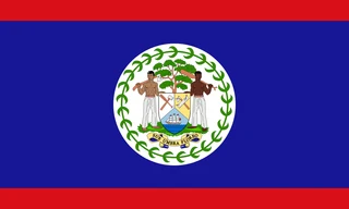
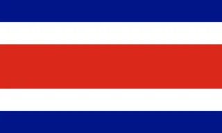
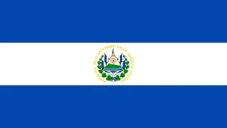
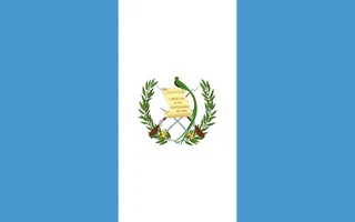
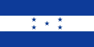
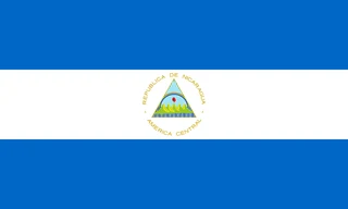
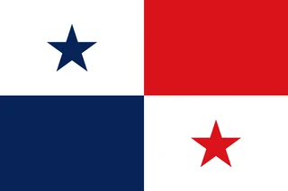
Flags of Central America
Frequently asked questions
Which countries are in Central America?
Central America has seven countries: Belize, Costa Rica, El Salvador, Guatemala, Honduras, Nicaragua and Panama. Together they cover about 511,085 km² (197,331 sq mi) between Mexico and Colombia.
Is Mexico part of Central America?
Usually not. Mexico is counted as part of North America, and Central America begins at its southern border with Guatemala and Belize. Some statistical lists, such as the United Nations regions, do include Mexico in Central America.
Is Central America part of North America?
Yes. In the continent model taught in English-speaking schools, Central America is the southern part of North America. It is a region, not a separate continent, and it ends at the border between Panama and Colombia.
What is the largest country in Central America?
By area, the largest country is Nicaragua, with 120,340 km² (46,464 sq mi).
What is the most populous country in Central America?
Guatemala, with about 17.3 million people.
What is the smallest country in Central America?
El Salvador, with 21,041 km² (8,124 sq mi).
Where can I download a printable map of Central America?
On this page: the political map, the blank map and the coloring map can be downloaded for free as PNG and PDF.
Use this map
You can download, print and share this map for free, in class, in school projects, in presentations and on websites, as long as you credit the source: Map of Central America · Atlas of Maps (atlasofmaps.com), license CC BY 4.0.
More maps: Map of Europe · Map of Asia · Map of Africa · Map of Oceania · Map of North America · Map of South America · Map of the Caribbean · Map of the Middle East · Map of the European Union · Map of Latin America · Map of Southeast Asia · World map