Map of the United States with states and capitals
The United States is a large country in North America, between the Atlantic Ocean to the east and the Pacific Ocean to the west. It borders Canada to the north and Mexico to the south; Alaska lies in the far northwest and Hawaii in the central Pacific. The political map shows its 50 states and the District of Columbia, the capital, Washington, D.C., and major cities.

- Capital
- Washington, D.C.
- Population
- 340.1 million (2024)
- Area
- 9,826,675 km² (3,794,100 sq mi)
- Population density
- 35 per km² (90 per sq mi)
- Official language
- English
- Currency
- United States dollar
- Demonym
- American
- Divisions
- 50 states and the District of Columbia
- Highest point
- Denali (6,190 m (20,308 ft))
- Calling code
- +1
- Internet domain
- .us
- Official name
- The United States of America
- Also known as
- USA, US, and America
Where is the United States?
The United States is a large country in North America, between the Atlantic Ocean to the east and the Pacific Ocean to the west. It borders Canada to the north and Mexico to the south; Alaska lies in the far northwest and Hawaii in the central Pacific.

States of the United States and their capitals
The United States is made up of 50 states and the District of Columbia, the federal district that contains the capital, Washington, D.C. Territories such as Puerto Rico, Guam and the U.S. Virgin Islands are not states and are not drawn on the main map.
| State | Capital | Population | Area |
|---|---|---|---|
| Alabama | Montgomery | 5,024,279 | 135,765 km² (52,419 sq mi) |
| Alaska | Juneau | 733,391 | 1,717,856 km² (663,268 sq mi) |
| Arizona | Phoenix | 7,151,502 | 295,234 km² (113,990 sq mi) |
| Arkansas | Little Rock | 3,011,524 | 137,733 km² (53,179 sq mi) |
| California | Sacramento | 39,538,223 | 423,970 km² (163,696 sq mi) |
| Colorado | Denver | 5,773,714 | 269,837 km² (104,185 sq mi) |
| Connecticut | Hartford | 3,605,944 | 14,357 km² (5,543 sq mi) |
| Delaware | Dover | 989,948 | 6,452 km² (2,491 sq mi) |
| District of Columbia | — | 689,545 | 177 km² (68 sq mi) |
| Florida | Tallahassee | 21,538,187 | 170,304 km² (65,755 sq mi) |
| Georgia | Atlanta | 10,711,908 | 153,909 km² (59,425 sq mi) |
| Hawaii | Honolulu | 1,455,271 | 28,311 km² (10,931 sq mi) |
| Idaho | Boise | 1,839,106 | 216,699 km² (83,668 sq mi) |
| Illinois | Springfield | 12,812,508 | 149,998 km² (57,915 sq mi) |
| Indiana | Indianapolis | 6,785,528 | 94,321 km² (36,418 sq mi) |
| Iowa | Des Moines | 3,190,369 | 145,746 km² (56,273 sq mi) |
| Kansas | Topeka | 2,937,880 | 213,100 km² (82,278 sq mi) |
| Kentucky | Frankfort | 4,505,836 | 104,659 km² (40,409 sq mi) |
| Louisiana | Baton Rouge | 4,657,757 | 135,382 km² (52,271 sq mi) |
| Maine | Augusta | 1,362,359 | 91,646 km² (35,385 sq mi) |
| Maryland | Annapolis | 6,177,224 | 32,131 km² (12,406 sq mi) |
| Massachusetts | Boston | 7,029,917 | 27,336 km² (10,554 sq mi) |
| Michigan | Lansing | 10,077,331 | 250,493 km² (96,716 sq mi) |
| Minnesota | Saint Paul | 5,706,494 | 225,163 km² (86,936 sq mi) |
| Mississippi | Jackson | 2,961,279 | 125,443 km² (48,434 sq mi) |
| Missouri | Jefferson City | 6,154,913 | 180,533 km² (69,704 sq mi) |
| Montana | Helena | 1,084,225 | 381,154 km² (147,164 sq mi) |
| Nebraska | Lincoln | 1,961,504 | 200,520 km² (77,421 sq mi) |
| Nevada | Carson City | 3,104,614 | 286,380 km² (110,572 sq mi) |
| New Hampshire | Concord | 1,377,529 | 24,214 km² (9,349 sq mi) |
| New Jersey | Trenton | 9,288,994 | 22,591 km² (8,722 sq mi) |
| New Mexico | Santa Fe | 2,117,522 | 315,194 km² (121,697 sq mi) |
| New York | Albany | 20,201,249 | 141,300 km² (54,556 sq mi) |
| North Carolina | Raleigh | 10,439,388 | 139,390 km² (53,819 sq mi) |
| North Dakota | Bismarck | 779,094 | 183,108 km² (70,698 sq mi) |
| Ohio | Columbus | 11,799,448 | 116,096 km² (44,825 sq mi) |
| Oklahoma | Oklahoma City | 3,959,353 | 181,195 km² (69,960 sq mi) |
| Oregon | Salem | 4,237,256 | 255,026 km² (98,466 sq mi) |
| Pennsylvania | Harrisburg | 13,002,700 | 119,283 km² (46,055 sq mi) |
| Rhode Island | Providence | 1,097,379 | 3,144 km² (1,214 sq mi) |
| South Carolina | Columbia | 5,118,425 | 82,931 km² (32,020 sq mi) |
| South Dakota | Pierre | 886,667 | 199,729 km² (77,116 sq mi) |
| Tennessee | Nashville | 6,910,840 | 109,247 km² (42,181 sq mi) |
| Texas | Austin | 29,145,505 | 696,241 km² (268,820 sq mi) |
| Utah | Salt Lake City | 3,271,616 | 219,653 km² (84,808 sq mi) |
| Vermont | Montpelier | 643,077 | 24,923 km² (9,623 sq mi) |
| Virginia | Richmond | 8,631,393 | 110,862 km² (42,804 sq mi) |
| Washington | Olympia | 7,705,281 | 184,827 km² (71,362 sq mi) |
| West Virginia | Charleston | 1,793,716 | 62,755 km² (24,230 sq mi) |
| Wisconsin | Madison | 5,893,718 | 169,640 km² (65,498 sq mi) |
| Wyoming | Cheyenne | 576,851 | 253,348 km² (97,818 sq mi) |
Population from Wikidata (latest figure available for each state).
Blank and coloring maps of the United States
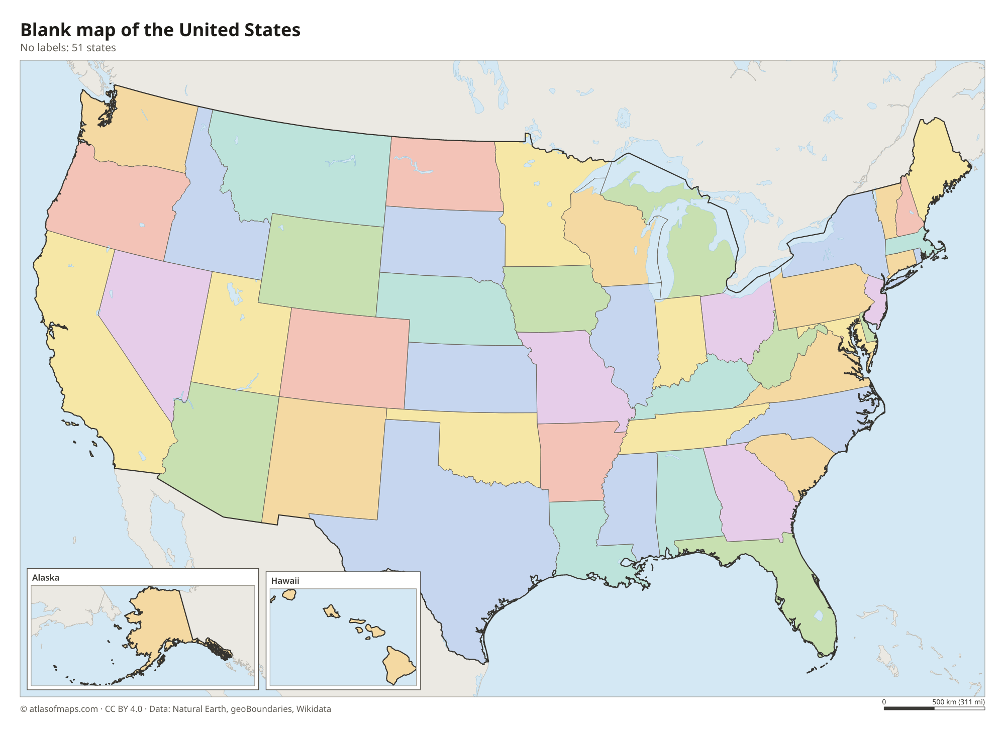
Blank map of the United States

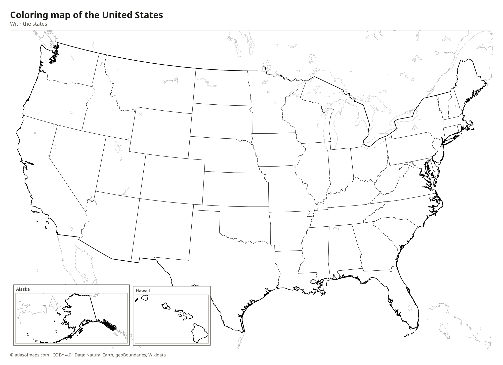
Coloring map of the United States

Geography of the United States
The United States covers about 9,826,675 km² (3,794,100 sq mi). In the east, the old, worn-down Appalachian Mountains run from Alabama to Maine, with a broad coastal plain along the Atlantic. The vast Interior Plains, including the Great Plains, fill the center of the country. In the west rise the Rocky Mountains, followed by the dry Great Basin and the Colorado Plateau, and then the Sierra Nevada and the Cascade Range near the Pacific coast. Alaska holds Denali, the highest point in North America at 6,190 m (20,308 ft), while Hawaii is a chain of volcanic islands.
The Mississippi River and its great tributary, the Missouri, drain most of the land between the Appalachians and the Rockies and empty into the Gulf of Mexico, which the U.S. government has called the Gulf of America since 2025. The Great Lakes, shared with Canada except for Lake Michigan, form the largest group of freshwater lakes on Earth. The climate ranges from Arctic in northern Alaska and humid continental in the Northeast to subtropical in Florida, desert in the Southwest and tropical in Hawaii. Death Valley in California holds the lowest point in North America.
Fun facts
- Lake Superior is the largest freshwater lake in the world by surface area.
- The Grand Canyon in Arizona, carved by the Colorado River, is more than 1.6 km (1 mi) deep in places.
- Mount Whitney and Badwater Basin, the highest and lowest points of the lower 48 states, are both in California and lie only about 136 km (85 mi) apart.
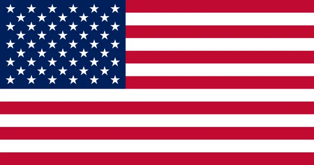
Flag of the United States
The flag of the United States has 13 horizontal stripes, seven red and six white, alternating with red at the top and bottom. A blue rectangle in the upper hoist corner holds 50 white five-pointed stars, arranged in nine offset rows that alternate between six and five stars.
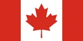
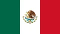
Countries bordering the United States
Frequently asked questions
What countries border the United States?
The United States borders two countries: Canada to the north and Mexico to the south. Alaska also borders Canada, and across the Bering Strait it lies close to Russia.
How many states does the United States have?
The United States has 50 states, plus the District of Columbia, which is not part of any state. Hawaii, which joined in 1959, was the last state admitted.
What is the largest state in the United States?
Alaska is the largest state by area, more than twice the size of Texas, which comes second. The smallest state is Rhode Island, in New England.
What is the capital of the United States?
The capital of the United States is Washington, D.C.
What language is spoken in the United States?
The official language is English.
Can I print the map of the United States?
Yes. Every map on this page can be downloaded for free as PNG or PDF (US Letter) and printed, including the blank map and the coloring map. Please credit the source (Atlas of Maps, CC BY 4.0).
Use this map
You can download, print and share this map for free, in class, in school projects, in presentations and on websites, as long as you credit the source: Map of the United States · Atlas of Maps (atlasofmaps.com), license CC BY 4.0.
See also: Map of North America · World map