Map of Mexico with states and capitals
Mexico is a country in southern North America. It borders the United States to the north and Guatemala and Belize to the southeast, with the Pacific Ocean to the west and the Gulf of Mexico and the Caribbean Sea to the east. The political map shows its 31 states and Mexico City, the capital, Mexico City, and major cities.

- Capital
- Mexico City
- Population
- 132.3 million (2024)
- Area
- 1,972,550 km² (761,606 sq mi)
- Population density
- 67 per km² (174 per sq mi)
- Official languages
- Spanish, Nahuatl, and Yucatec Maya
- Currency
- Mexican peso
- Demonym
- Mexican
- Divisions
- 31 states and Mexico City
- Highest point
- Citlaltepetl (5,636 m (18,491 ft))
- Calling code
- +52
- Internet domain
- .mx
- Official name
- United Mexican States
Where is Mexico?
Mexico is a country in southern North America. It borders the United States to the north and Guatemala and Belize to the southeast, with the Pacific Ocean to the west and the Gulf of Mexico and the Caribbean Sea to the east.
Neighboring countries: Belize, Guatemala, United States.

States of Mexico and their capitals
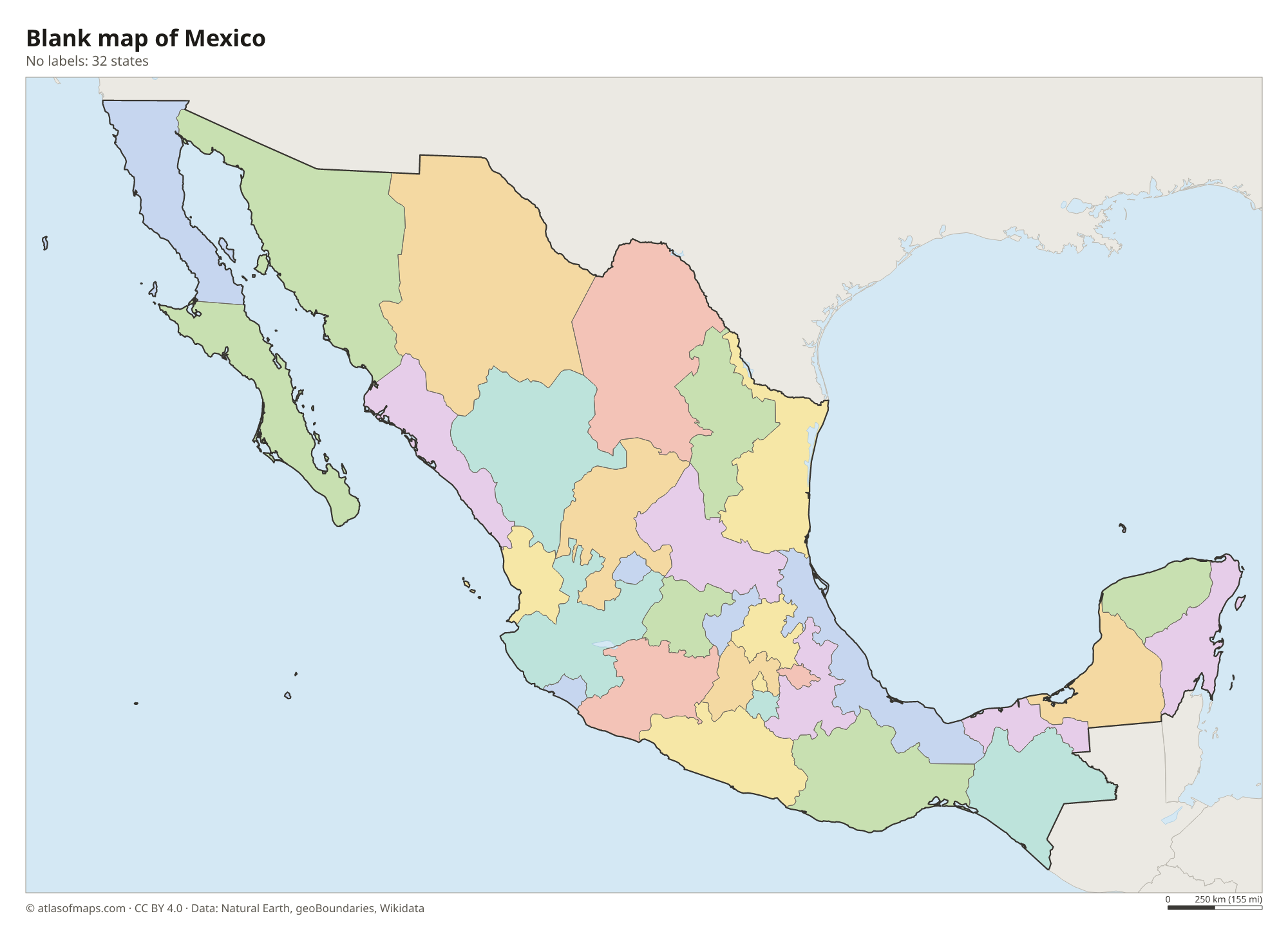
Mexico is a federal republic of 31 states and Mexico City, the capital, which became a federal entity of its own in 2016. These 32 units are shown on the map; Chihuahua, in the north, is the largest state by area.
| State | Capital | Population | Area |
|---|---|---|---|
| Aguascalientes | Aguascalientes City | 1,312,544 | 5,618 km² (2,169 sq mi) |
| Baja California | Mexicali | 3,315,766 | 71,450 km² (27,587 sq mi) |
| Baja California Sur | La Paz | 637,026 | 73,909 km² (28,536 sq mi) |
| Campeche | San Francisco de Campeche | 928,363 | 57,485 km² (22,195 sq mi) |
| Chiapas | Tuxtla Gutiérrez | 5,217,908 | 73,311 km² (28,306 sq mi) |
| Chihuahua | Chihuahua City | 3,556,574 | 247,455 km² (95,543 sq mi) |
| Coahuila | Saltillo | 2,954,915 | 151,595 km² (58,531 sq mi) |
| Colima | Colima | 731,391 | 5,627 km² (2,173 sq mi) |
| Durango | Victoria de Durango | 1,754,754 | 123,317 km² (47,613 sq mi) |
| Guanajuato | Guanajuato | 5,853,677 | 30,607 km² (11,817 sq mi) |
| Guerrero | Chilpancingo de los Bravo | 3,533,251 | 63,596 km² (24,555 sq mi) |
| Hidalgo | Pachuca | 3,082,841 | 20,821 km² (8,039 sq mi) |
| Jalisco | Guadalajara | 7,844,830 | 78,588 km² (30,343 sq mi) |
| Mexico City | Mexico City | 9,209,944 | 1,485 km² (573 sq mi) |
| Michoacán | Morelia | 4,584,471 | 58,599 km² (22,625 sq mi) |
| Morelos | Cuernavaca | 1,777,227 | 4,879 km² (1,884 sq mi) |
| Nayarit | Tepic | 1,223,797 | 27,857 km² (10,756 sq mi) |
| Nuevo León | Monterrey | 5,189,970 | 64,156 km² (24,771 sq mi) |
| Oaxaca | Oaxaca de Juárez | 3,967,889 | 93,793 km² (36,214 sq mi) |
| Puebla | Heroica Puebla de Zaragoza | 6,168,883 | 34,306 km² (13,246 sq mi) |
| Querétaro | Santiago de Querétaro | 2,038,372 | 11,699 km² (4,517 sq mi) |
| Quintana Roo | Chetumal | 1,857,985 | 44,705 km² (17,261 sq mi) |
| San Luis Potosí | San Luis Potosí | 2,717,820 | 60,983 km² (23,546 sq mi) |
| Sinaloa | Culiacán | 2,966,700 | 57,377 km² (22,153 sq mi) |
| Sonora | Hermosillo | 2,850,330 | 179,503 km² (69,306 sq mi) |
| State of Mexico | Toluca de Lerdo | 16,187,608 | 22,351 km² (8,630 sq mi) |
| Tabasco | Villahermosa | 2,402,598 | 24,738 km² (9,551 sq mi) |
| Tamaulipas | Ciudad Victoria | 3,441,698 | 80,175 km² (30,956 sq mi) |
| Tlaxcala | Tlaxcala de Xicoténcatl | 1,272,847 | 3,991 km² (1,541 sq mi) |
| Veracruz | Xalapa | 8,112,505 | 71,820 km² (27,730 sq mi) |
| Yucatán | Mérida | 2,320,898 | 39,612 km² (15,294 sq mi) |
| Zacatecas | Zacatecas | 1,690,868 | 75,539 km² (29,166 sq mi) |
Population from Wikidata (latest figure available for each state).
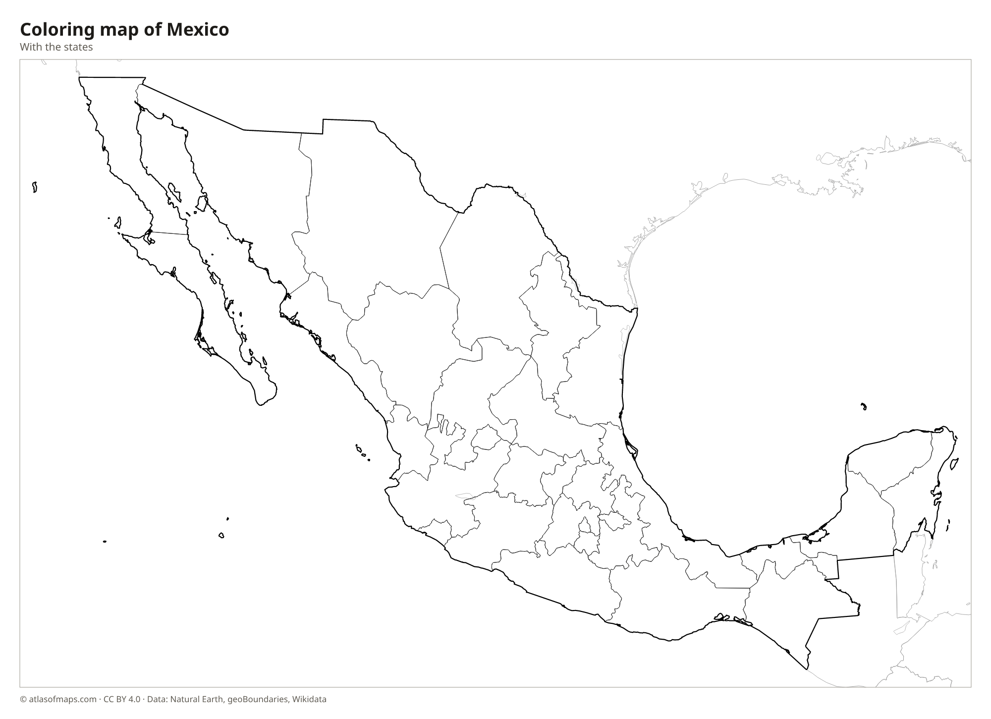
Blank and coloring maps of Mexico
Blank map of Mexico

Coloring map of Mexico

Geography of Mexico
Mexico covers 1,972,550 km² (761,606 sq mi). Its heart is the high Mexican Plateau, framed by two long mountain ranges, the Sierra Madre Occidental in the west and the Sierra Madre Oriental in the east. Across the south of the plateau runs the Trans-Mexican Volcanic Belt, with snowcapped volcanoes such as Popocatépetl and Citlaltépetl (Pico de Orizaba), the highest point at 5,636 m (18,491 ft). Two large peninsulas extend from the mainland: Baja California in the northwest and the flat limestone Yucatán Peninsula in the southeast.
The north is dominated by the Sonoran and Chihuahuan deserts, while the south and the Yucatán are tropical, with rainforest in Chiapas. The Rio Grande, called the Río Bravo in Mexico, forms a long stretch of the border with the United States, and the Usumacinta separates part of Mexico from Guatemala. The Yucatán has almost no rivers on the surface; water flows underground and appears in sinkholes called cenotes. Lake Chapala, near Guadalajara, is the country's largest lake.
Fun facts
- Mexico City is built on the bed of a former lake, Lake Texcoco, and parts of the city are slowly sinking.
- The Chicxulub crater, linked to the extinction of the dinosaurs, lies buried beneath the Yucatán Peninsula.
- With 132,274,416 people (2024), Mexico has the largest population of any Spanish-speaking country.
Flag of Mexico
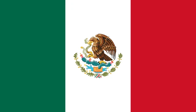
The flag of Mexico is a vertical tricolor of green, white and red, with the national coat of arms in the center of the white band. The arms show a golden eagle perched on a prickly pear cactus, devouring a snake, above a rock in a lake, framed by a wreath of oak and laurel branches. The flag has a 4:7 ratio.
Countries bordering Mexico
Frequently asked questions
What countries border Mexico?
Mexico borders three countries: the United States to the north, and Guatemala and Belize to the southeast. The border with the United States runs for more than 3,000 km (1,900 mi).
How many states does Mexico have?
Mexico has 31 states plus Mexico City, which is the capital and a federal entity of its own. Together they make up the 32 units shown on the map.
What is the highest mountain in Mexico?
Citlaltépetl, also called Pico de Orizaba, is the highest mountain in Mexico at 5,636 m (18,491 ft). This dormant volcano stands on the border of Puebla and Veracruz.
What is the capital of Mexico?
The capital of Mexico is Mexico City.
What language is spoken in Mexico?
The official languages are Spanish, Nahuatl, and Yucatec Maya.
Can I print the map of Mexico?
Yes. Every map on this page can be downloaded for free as PNG or PDF (US Letter) and printed, including the blank map and the coloring map. Please credit the source (Atlas of Maps, CC BY 4.0).
Use this map
You can download, print and share this map for free, in class, in school projects, in presentations and on websites, as long as you credit the source: Map of Mexico · Atlas of Maps (atlasofmaps.com), license CC BY 4.0.
See also: Map of North America · Map of Latin America · World map