Map of Ukraine with oblasts and capitals
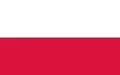
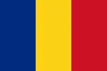
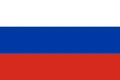
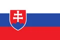
Ukraine is a large country in Eastern Europe on the northern coast of the Black Sea and the Sea of Azov. It borders Belarus to the north, Russia to the northeast and east, Poland, Slovakia and Hungary to the west, and Romania and Moldova to the southwest. The political map shows its 27 oblasts, the capital, Kyiv, and major cities.

- Capital
- Kyiv
- Population
- 41.2 million (2022)
- Area
- 603,550 km² (233,032 sq mi)
- Population density
- 68 per km² (177 per sq mi)
- Official language
- Ukrainian
- Currency
- hryvnia
- Demonym
- Ukrainian
- Oblasts
- 27
- Highest point
- Hoverla (2,061 m (6,762 ft))
- Calling code
- +380
- Internet domain
- .ua
Where is Ukraine?
Ukraine is a large country in Eastern Europe on the northern coast of the Black Sea and the Sea of Azov. It borders Belarus to the north, Russia to the northeast and east, Poland, Slovakia and Hungary to the west, and Romania and Moldova to the southwest.
Neighboring countries: Belarus, Hungary, Moldova, Poland, Romania, Russia, Slovakia.

Oblasts of Ukraine and their capitals
Ukraine has 27 units on the map: 24 oblasts, the Autonomous Republic of Crimea, and the cities of Kyiv and Sevastopol, which have special status. Crimea, annexed by Russia in 2014 in a move most countries do not recognize, is shown as part of Ukraine.
| Oblast | Capital | Population | Area |
|---|---|---|---|
| Autonomous Republic of Crimea | Simferopol | 1,957,801 | 26,081 km² (10,070 sq mi) |
| Cherkasy | Cherkasy | 1,160,744 | 20,900 km² (8,070 sq mi) |
| Chernihiv | Chernihiv | 959,315 | 31,865 km² (12,303 sq mi) |
| Chernivtsi | Chernivtsi | 890,457 | 8,097 km² (3,126 sq mi) |
| Dnipropetrovsk | Dnipro | 3,096,485 | 31,914 km² (12,322 sq mi) |
| Donetsk | Donetsk | 4,200,461 | 26,517 km² (10,238 sq mi) |
| Ivano-Frankivsk | Ivano-Frankivsk | 1,351,822 | 13,900 km² (5,367 sq mi) |
| Kharkiv | Kharkiv | 2,598,961 | 31,415 km² (12,129 sq mi) |
| Kherson | Kherson | 1,001,598 | 28,461 km² (10,989 sq mi) |
| Khmelnytskyi | Khmelnytskyi | 1,228,829 | 20,629 km² (7,965 sq mi) |
| Kiev | — | 2,952,301 | 848 km² (327 sq mi) |
| Kiev City | — | 2,952,301 | 848 km² (327 sq mi) |
| Kirovohrad | Kropyvnytskyi | 903,712 | 24,588 km² (9,493 sq mi) |
| Luhansk | Luhansk | 2,167,802 | 26,684 km² (10,303 sq mi) |
| Lviv | Lviv | 2,478,133 | 21,833 km² (8,430 sq mi) |
| Mykolaiv | Mykolaiv | 1,091,821 | 24,598 km² (9,497 sq mi) |
| Odessa | Odesa | 2,351,392 | 33,310 km² (12,861 sq mi) |
| Poltava | Poltava | 1,352,283 | 28,748 km² (11,100 sq mi) |
| Rivne | Rivne | 1,141,784 | 20,047 km² (7,740 sq mi) |
| Sevastopol | — | 485,386 | 864 km² (334 sq mi) |
| Sumy | Sumy | 1,035,772 | 23,834 km² (9,202 sq mi) |
| Ternopil | Ternopil | 1,021,713 | 13,823 km² (5,337 sq mi) |
| Vinnytsia | Vinnytsia | 1,509,515 | 26,513 km² (10,237 sq mi) |
| Volyn | Lutsk | 1,021,356 | 20,143 km² (7,777 sq mi) |
| Zakarpattia | Uzhhorod | 1,244,476 | 12,777 km² (4,933 sq mi) |
| Zaporizhzhia | Zaporizhzhia | 1,638,462 | 27,180 km² (10,494 sq mi) |
| Zhytomyr | Zhytomyr | 1,179,032 | 29,832 km² (11,518 sq mi) |
Population from Wikidata (latest figure available for each oblast).
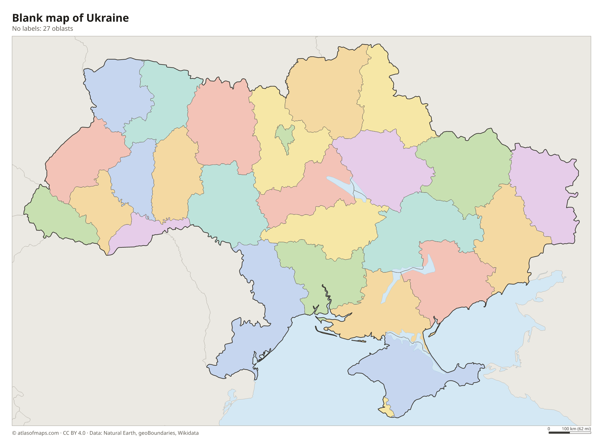
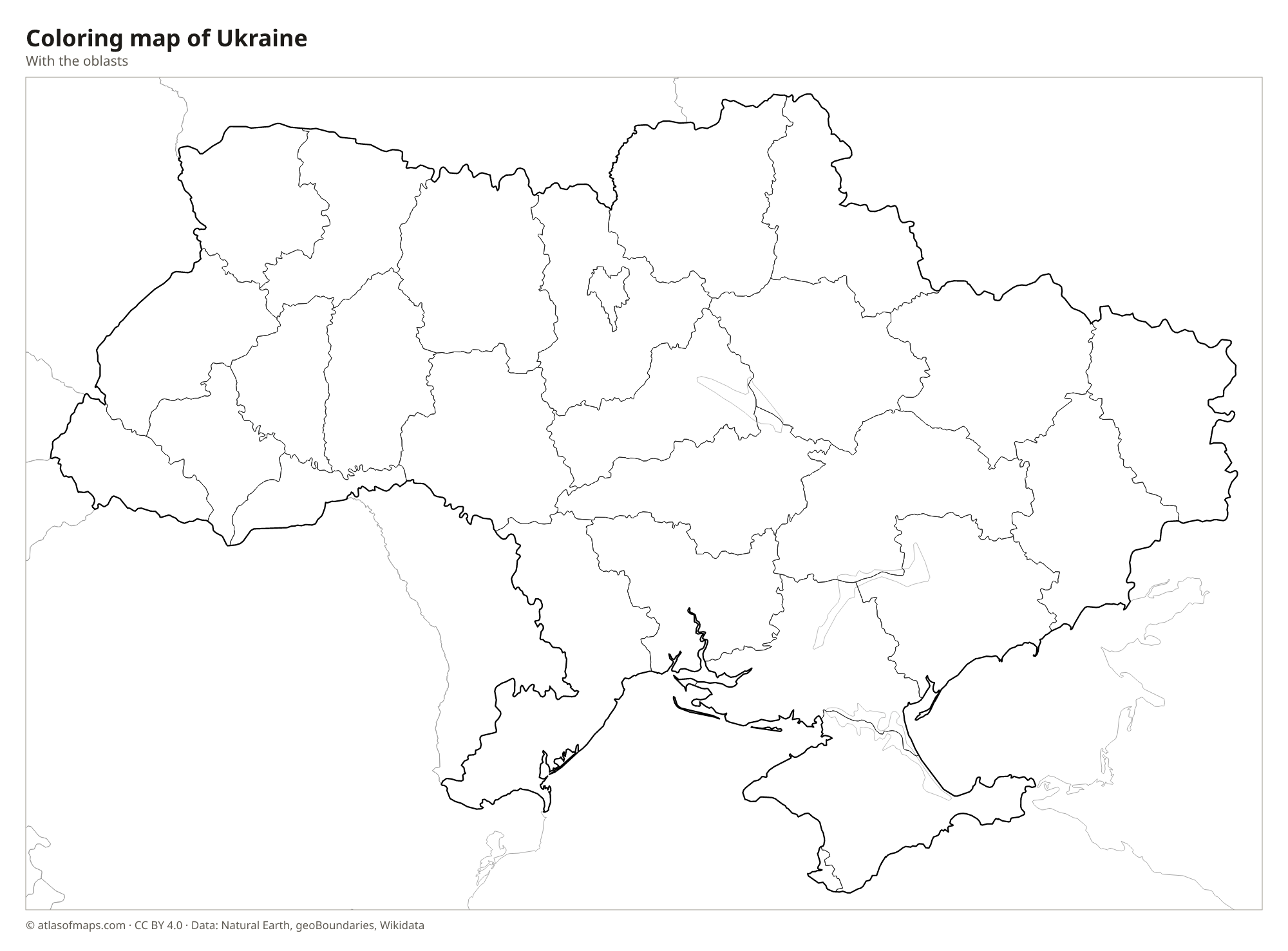
Blank and coloring maps of Ukraine
Blank map of Ukraine

Coloring map of Ukraine

Geography of Ukraine
With an area of about 603,550 km² (233,032 sq mi), Ukraine is the largest country located entirely in Europe. Most of it is flat or gently rolling: wide plains and low uplands, such as the Volhynian and Podolian uplands, cover the west and center, and the south is steppe sloping down to the sea. Mountains are found only at the edges. The Carpathians cross the far west, where Hoverla is the highest point at 2,061 m (6,762 ft), and the Crimean Mountains line the southern coast of the Crimean Peninsula.
The Dnieper, Ukraine's longest river, flows south through Kyiv and a chain of large reservoirs before reaching the Black Sea. Other rivers include the Dniester and the Southern Bug, and the Danube forms part of the border with Romania at its delta. Large areas are covered by chernozem, a very fertile black soil that makes the country a major grain producer. The climate is mostly temperate continental, with warm summers and cold winters, while the southern coast of Crimea is milder.
Fun facts
- The Dnieper divides Ukraine into a right-bank west and a left-bank east, and Kyiv grew up on its hilly western bank.
- Arsenalna station on the Kyiv Metro is one of the deepest metro stations in the world, about 105 m (344 ft) below ground.
- The village of Dilove in the Zakarpattia region has a marker that claims to show the geographic center of Europe, one of several places with that claim.
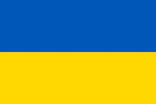
Flag of Ukraine
The flag of Ukraine has two horizontal stripes of equal height: blue on top and yellow below. It carries no emblem or other symbol. The blue is a medium, sky-like shade and the yellow a warm golden color. The national coat of arms, a golden trident on a blue shield, is used separately and does not appear on the flag.
Countries bordering Ukraine
Frequently asked questions
What countries border Ukraine?
Ukraine borders seven countries: Russia, Belarus, Poland, Slovakia, Hungary, Romania and Moldova. To the south it has coastlines on the Black Sea and the Sea of Azov.
How many oblasts does Ukraine have?
Ukraine has 24 oblasts. Together with the Autonomous Republic of Crimea and the special-status cities of Kyiv and Sevastopol, the country has 27 first-level units, all drawn on the map.
What is the capital of Ukraine?
Kyiv is the capital and largest city of Ukraine. It lies in the north-central part of the country on both banks of the Dnieper River.
What language is spoken in Ukraine?
The official language is Ukrainian.
Can I print the map of Ukraine?
Yes. Every map on this page can be downloaded for free as PNG or PDF (US Letter) and printed, including the blank map and the coloring map. Please credit the source (Atlas of Maps, CC BY 4.0).
Use this map
You can download, print and share this map for free, in class, in school projects, in presentations and on websites, as long as you credit the source: Map of Ukraine · Atlas of Maps (atlasofmaps.com), license CC BY 4.0.
See also: Map of Europe · World map