Map of South America with countries and capitals
South America is the fourth-largest continent, lying mostly in the Southern Hemisphere between the Pacific Ocean to the west and the Atlantic Ocean to the east, with the Caribbean Sea to the north. It is connected to North America through Panama, and the Drake Passage separates its southern tip from Antarctica. The map shows 12 countries plus the Falkland Islands.

The Andes, the longest continental mountain range on Earth, run along the western side of the continent from Venezuela to Tierra del Fuego, and Aconcagua in Argentina is the highest peak in the Americas. East of the mountains, the Amazon River and its tributaries drain the largest rainforest in the world, the Orinoco crosses Venezuela, and the Paraná and Uruguay rivers empty into the Río de la Plata. The Atacama Desert in northern Chile is one of the driest places on Earth, while the grassy Pampas of Argentina and Uruguay and the cold, windy plateaus of Patagonia fill the south. Lake Titicaca lies high in the Andes on the border of Peru and Bolivia.
South America is often described in groups: the Andean countries (Venezuela, Colombia, Ecuador, Peru, Bolivia), the Southern Cone (Chile, Argentina, Uruguay, Paraguay) and the Guianas (Guyana, Suriname and French Guiana), with Brazil filling the east. Brazil is the largest country at 8,515,767 km² (3,287,955 sq mi), almost half of the continent, and Suriname is the smallest at 163,270 km² (63,039 sq mi). Spanish is the main language in nine countries, Portuguese in Brazil, English in Guyana and Dutch in Suriname. Bolivia has two capitals: Sucre is the constitutional capital, and La Paz is the seat of government. French Guiana is part of France, and the Falkland Islands are a British territory that Argentina also claims.
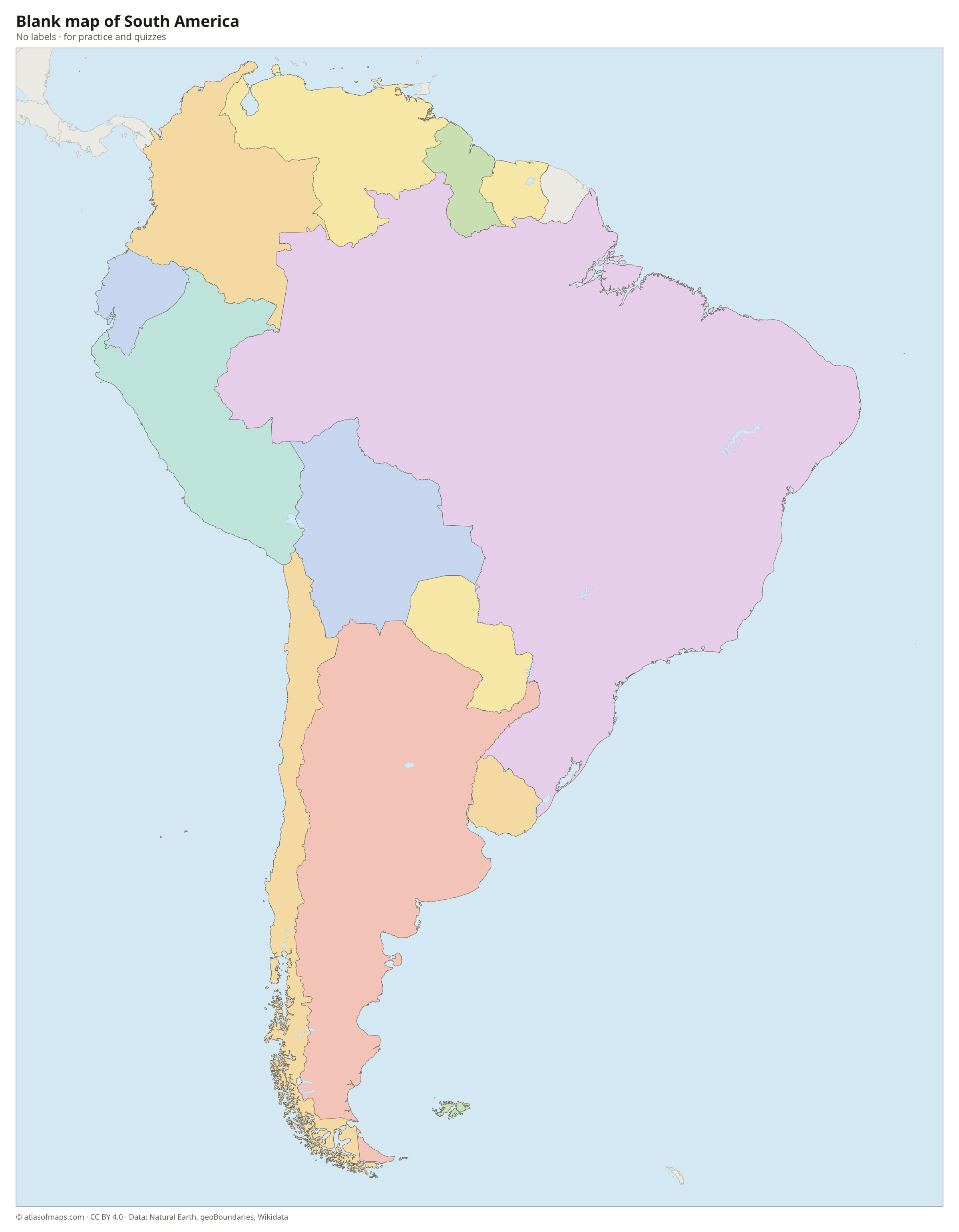
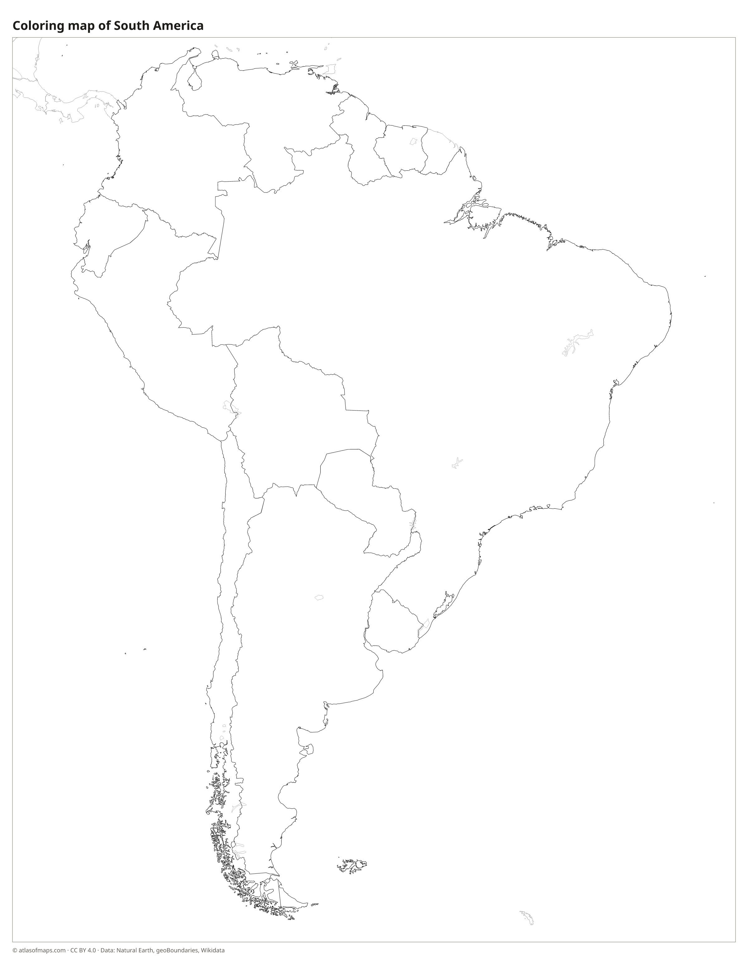
Blank and coloring maps of South America
Blank map of South America
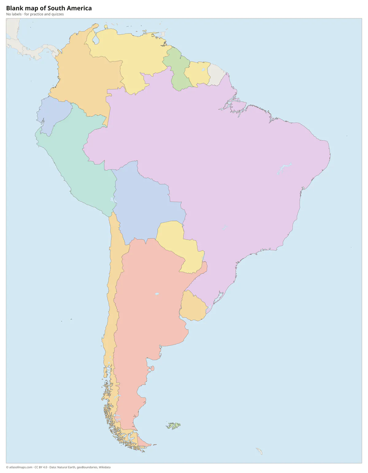
Coloring map of South America

Countries of South America and their capitals
List of the countries of South America sorted by area and population →
| Country | Capital | Population | Area |
|---|---|---|---|
| Argentina | Buenos Aires | 47,327,407 | 2,780,400 km² (1,073,518 sq mi) |
| Bolivia | Sucre / La Paz | 12,244,159 | 1,098,581 km² (424,164 sq mi) |
| Brazil | Brasília | 214,211,951 | 8,515,767 km² (3,287,956 sq mi) |
| Chile | Santiago | 19,458,000 | 756,102 km² (291,933 sq mi) |
| Colombia | Bogotá | 52,321,152 | 1,141,748 km² (440,831 sq mi) |
| Ecuador | Quito | 16,938,986 | 257,204 km² (99,307 sq mi) |
| Falkland Islands (territory) | Stanley | 4,550 | 12,200 km² (4,710 sq mi) |
| Guyana | Georgetown | 878,674 | 214,970 km² (83,000 sq mi) |
| Paraguay | Asunción | 6,811,297 | 406,756 km² (157,049 sq mi) |
| Peru | Lima | 34,157,732 | 1,285,216 km² (496,225 sq mi) |
| Suriname | Paramaribo | 563,402 | 163,270 km² (63,039 sq mi) |
| Uruguay | Montevideo | 3,444,263 | 176,215 km² (68,037 sq mi) |
| Venezuela | Caracas | 31,250,306 | 912,050 km² (352,144 sq mi) |
Territories: Falkland Islands.
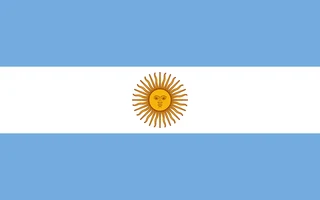
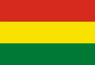
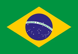
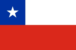
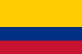
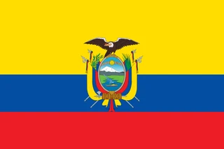
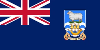
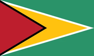
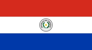
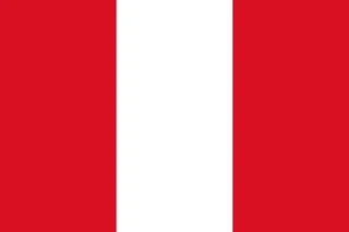
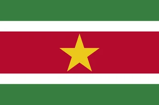
Flags of South America
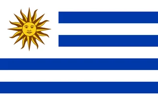
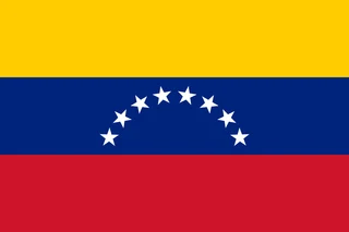
Frequently asked questions
How many countries are in South America?
South America has 12 countries: Argentina, Bolivia, Brazil, Chile, Colombia, Ecuador, Guyana, Paraguay, Peru, Suriname, Uruguay and Venezuela. The map also shows the Falkland Islands, and French Guiana on the northeast coast is part of France.
What is the largest country in South America?
Brazil is the largest country in South America, covering 8,515,767 km² (3,287,955 sq mi), almost half of the continent. It is also the most populous, with about 214 million people.
What is the smallest country in South America?
Suriname is the smallest country in South America, at 163,270 km² (63,039 sq mi). The Falkland Islands, at 12,200 km² (4,710 sq mi), are smaller, but they are a British overseas territory that Argentina also claims, not a country.
What is the most populous country in South America?
Brazil, with about 214.2 million people.
Where can I download a printable map of South America?
On this page: the political map, the blank map and the coloring map can be downloaded for free as PNG and PDF.
Use this map
You can download, print and share this map for free, in class, in school projects, in presentations and on websites, as long as you credit the source: Map of South America · Atlas of Maps (atlasofmaps.com), license CC BY 4.0.
More maps: Map of Europe · Map of Asia · Map of Africa · Map of Oceania · Map of North America · Map of Central America · Map of the Caribbean · Map of the Middle East · Map of the European Union · Map of Latin America · Map of Southeast Asia · World map