Map of Canada with provinces and territories and capitals
Canada is a country in northern North America and the second-largest country in the world by area. It shares a long land border with the United States to the south and northwest (Alaska) and has coasts on the Atlantic, Pacific and Arctic Oceans. The political map shows its 13 provinces and territories, the capital, Ottawa, and major cities.

- Capital
- Ottawa
- Population
- 37 million (2021)
- Area
- 9,984,670 km² (3,855,103 sq mi)
- Population density
- 4 per km² (10 per sq mi)
- Official languages
- English and French
- Currency
- Canadian dollar
- Demonym
- Canadian
- Provinces and Territories
- 13
- Highest point
- Mount Logan (5,959 m (19,551 ft))
- Calling code
- +1
- Internet domain
- .ca
Where is Canada?
Canada is a country in northern North America and the second-largest country in the world by area. It shares a long land border with the United States to the south and northwest (Alaska) and has coasts on the Atlantic, Pacific and Arctic Oceans.
Neighboring countries: United States.

Provinces and Territories of Canada and their capitals
Canada has 13 provinces and territories: 10 provinces, from British Columbia in the west to Newfoundland and Labrador in the east, and 3 northern territories, Yukon, the Northwest Territories and Nunavut. Ottawa, the capital, is in Ontario.
| Province | Capital | Population | Area |
|---|---|---|---|
| Alberta | Edmonton | 4,262,635 | 661,848 km² (255,541 sq mi) |
| British Columbia | — | — | — |
| Manitoba | Winnipeg | 1,342,153 | 647,797 km² (250,116 sq mi) |
| New Brunswick | Fredericton | 775,610 | 72,908 km² (28,150 sq mi) |
| Newfoundland and Labrador | St. John's | 510,550 | 405,212 km² (156,453 sq mi) |
| Northwest Territories | Yellowknife | 41,070 | 1,346,106 km² (519,734 sq mi) |
| Nova Scotia | Halifax | 969,383 | 55,283 km² (21,345 sq mi) |
| Nunavut | Iqaluit | 36,858 | 2,038,722 km² (787,155 sq mi) |
| Ontario | Toronto | 14,223,942 | 1,076,395 km² (415,598 sq mi) |
| Prince Edward Island | — | — | — |
| Quebec | Quebec City | 8,501,833 | 1,542,056 km² (595,391 sq mi) |
| Saskatchewan | Regina | 1,132,505 | 651,900 km² (251,700 sq mi) |
| Yukon | Whitehorse | 40,232 | 482,443 km² (186,272 sq mi) |
Population from Wikidata (latest figure available for each province).
Blank and coloring maps of Canada
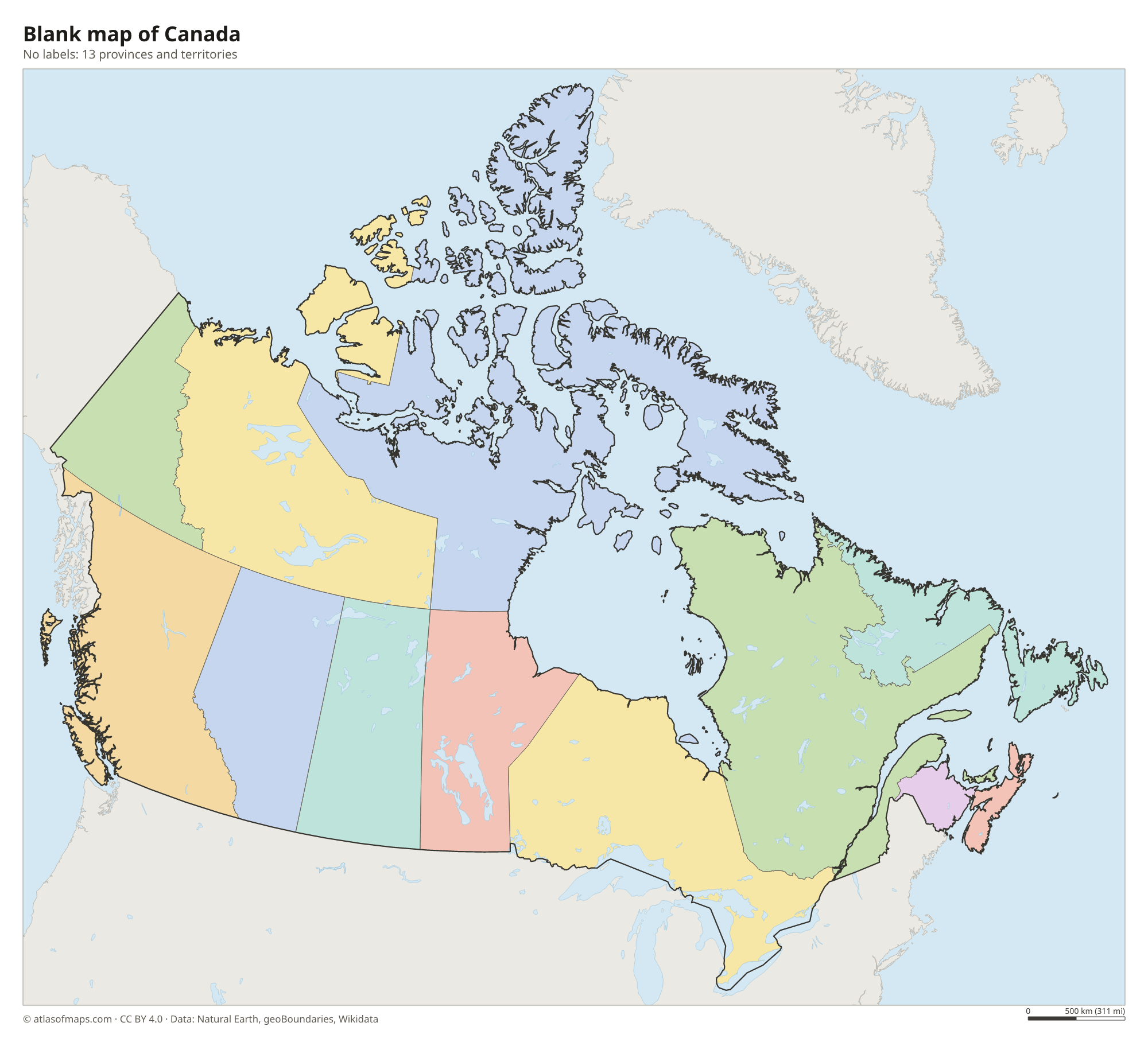
Blank map of Canada

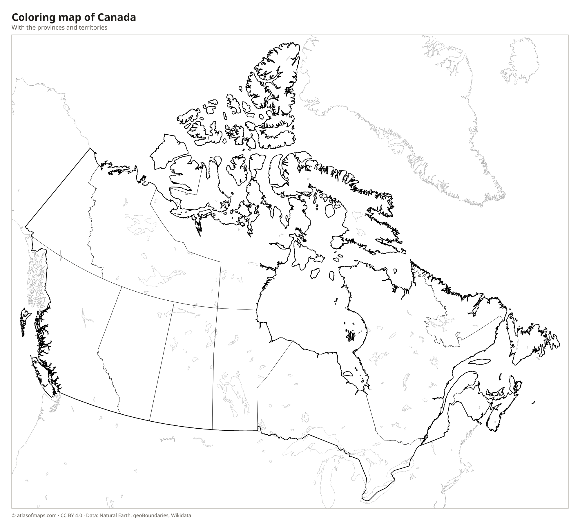
Coloring map of Canada

Geography of Canada
Canada covers 9,984,670 km² (3,855,103 sq mi). The Canadian Shield, a vast area of ancient rock, forests and lakes, wraps around Hudson Bay and covers about half the country. In the west, the Rocky Mountains and the Coast Mountains form a wide mountain belt, and Mount Logan in Yukon, at 5,959 m (19,551 ft), is the highest peak. Between the Rockies and the Shield lie the Prairies, flat interior plains of farmland. In the southeast, the Great Lakes-St. Lawrence Lowlands and the old Appalachian uplands are home to many of the largest cities.
Canada has more lakes than any other country, including shares of four of the five Great Lakes. The Mackenzie, the longest river, flows north to the Arctic Ocean, while the St. Lawrence carries the water of the Great Lakes to the Atlantic. In the far north, the Arctic Archipelago includes huge islands such as Baffin and Ellesmere. The climate ranges from arctic in the north to temperate in the south, with mild, wet winters on the Pacific coast. About 37 million people lived in Canada in 2021, most of them near the southern border.
Fun facts
- Canada has the longest coastline of any country in the world.
- Hudson Bay, in the north-central part of the country, is one of the largest bays in the world.
- Canada has two official languages, English and French; French is the main language in Quebec.
Flag of Canada
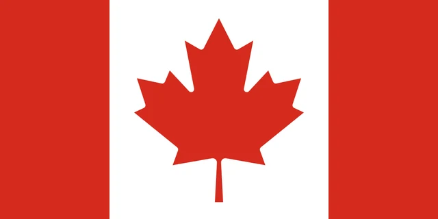
The flag of Canada is red and white, with a red band at each side and a white square in the center. On the white square is a stylized red maple leaf with 11 points. The flag is twice as wide as it is tall, and the white center is as wide as the two red bands together.
Countries bordering Canada
Frequently asked questions
What countries border Canada?
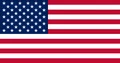
Canada borders only one country, the United States: along its southern edge and along Alaska in the northwest. It is the longest land border between two countries in the world.
How many provinces does Canada have?
Canada has 10 provinces and 3 territories, 13 in all. The provinces lie in the south; the territories, Yukon, the Northwest Territories and Nunavut, cover the far north.
What is the capital of Canada?
The capital is Ottawa, in eastern Ontario on the Ottawa River, which forms the border with Quebec. Toronto is the largest city.
What language is spoken in Canada?
The official languages are English and French.
Can I print the map of Canada?
Yes. Every map on this page can be downloaded for free as PNG or PDF (US Letter) and printed, including the blank map and the coloring map. Please credit the source (Atlas of Maps, CC BY 4.0).
Use this map
You can download, print and share this map for free, in class, in school projects, in presentations and on websites, as long as you credit the source: Map of Canada · Atlas of Maps (atlasofmaps.com), license CC BY 4.0.
See also: Map of North America · World map