Map of the Middle East with countries and capitals
The Middle East is the region where Asia, Africa and Europe meet, covering southwestern Asia and Egypt in northeastern Africa. It is bordered by the Mediterranean Sea, the Black Sea, the Caspian Sea, the Red Sea, the Arabian Sea and the Persian Gulf. The Middle East is not a continent, and definitions vary; the map shows 17 countries.

Much of the Middle East is desert. The Arabian Desert covers most of the Arabian Peninsula, including the Rub' al Khali, or Empty Quarter, one of the largest sand deserts in the world, and the Syrian Desert reaches north into Jordan, Iraq and Syria. The Taurus Mountains edge the Anatolian Plateau of Turkey, and the Zagros Mountains rim the Iranian Plateau. Two great river systems shaped early civilizations: the Tigris and Euphrates in Iraq, the ancient Mesopotamia, and the Nile in Egypt. The shores of the Dead Sea, where Jordan meets Israel and the West Bank, are the lowest land on Earth. Summers are very hot, and near the Mediterranean most rain falls in winter.
The countries are often grouped into the Levant along the eastern Mediterranean (Israel, Jordan, Lebanon, Palestine, Syria and, by some definitions, Cyprus), the Gulf states and Yemen on and around the Arabian Peninsula, and the larger countries of Turkey, Iran, Iraq and Egypt. Saudi Arabia is the largest at about 2.25 million km² (868,730 sq mi), and Bahrain, an island kingdom in the Persian Gulf, is the smallest at 787 km² (304 sq mi). Egypt is counted with Africa on this site as well, Turkey spans Europe and Asia, and Cyprus is also counted with Europe. Palestine is shown separately; its status and borders are disputed. Large capitals include Cairo, Tehran, Baghdad, Riyadh and Ankara.
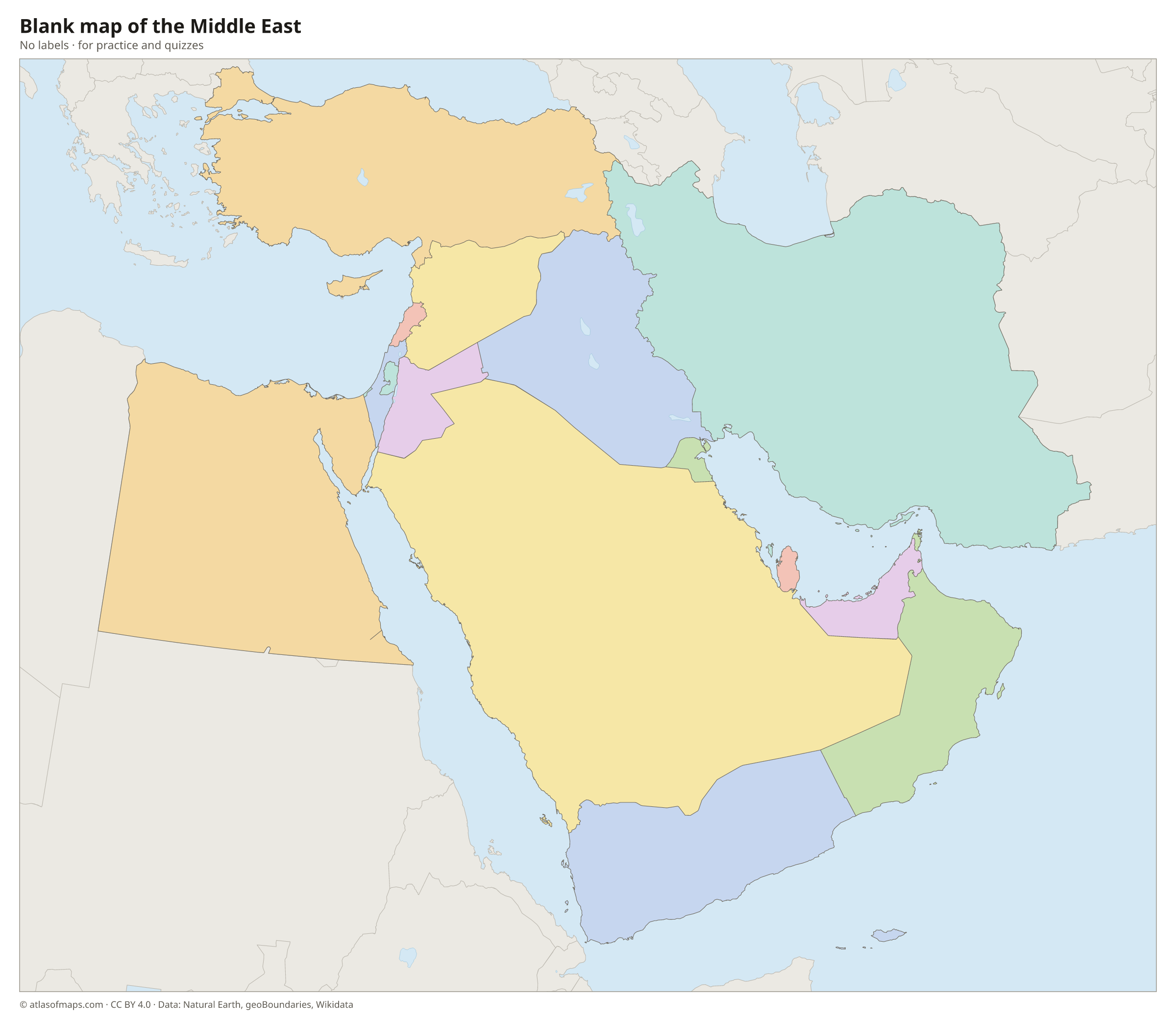
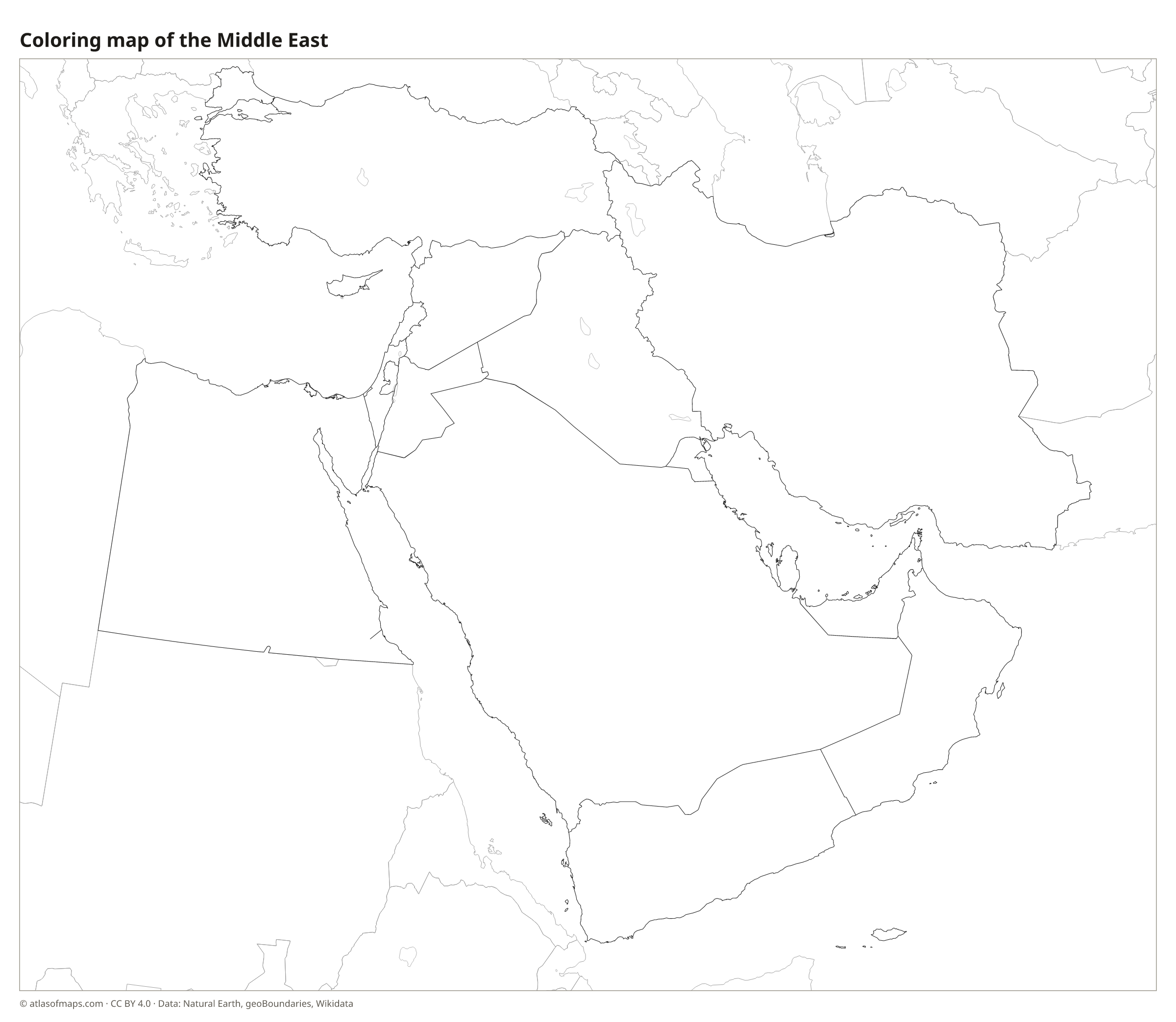
Blank and coloring maps of the Middle East
Blank map of the Middle East

Coloring map of the Middle East

Countries of the Middle East and their capitals
List of the countries of the Middle East sorted by area and population →
| Country | Capital | Population | Area |
|---|---|---|---|
| Bahrain | Manama | 1,569,666 | 787 km² (304 sq mi) |
| Cyprus | Nicosia | 1,344,976 | 9,242 km² (3,568 sq mi) |
| Egypt | Cairo | 114,535,772 | 1,010,408 km² (390,121 sq mi) |
| Iran | Tehran | 92,417,700 | 1,648,195 km² (636,372 sq mi) |
| Iraq | Baghdad | 38,274,618 | 437,072 km² (168,754 sq mi) |
| Israel | Jerusalem | 9,840,000 | 20,770 km² (8,019 sq mi) |
| Jordan | Amman | 10,428,241 | 89,341 km² (34,495 sq mi) |
| Kuwait | Kuwait City | 4,464,000 | 17,818 km² (6,880 sq mi) |
| Lebanon | Beirut | 6,100,075 | 10,452 km² (4,036 sq mi) |
| Oman | Muscat | 4,829,480 | 309,500 km² (119,499 sq mi) |
| Palestine | Ramallah | 4,685,306 | 6,079 km² (2,347 sq mi) |
| Qatar | Doha | 2,639,211 | 11,437 km² (4,416 sq mi) |
| Saudi Arabia | Riyadh | 33,000,000 | 2,250,000 km² (868,730 sq mi) |
| Syria | Damascus | 23,865,423 | 185,180 km² (71,498 sq mi) |
| Turkey | Ankara | 85,372,377 | 783,562 km² (302,535 sq mi) |
| United Arab Emirates | Abu Dhabi | 9,890,400 | 83,600 km² (32,278 sq mi) |
| Yemen | Sanaa / Aden | 28,250,420 | 455,503 km² (175,871 sq mi) |
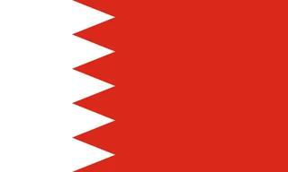
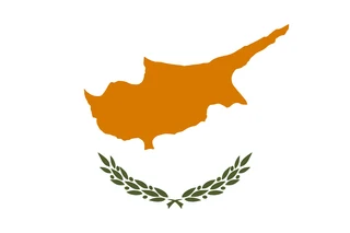
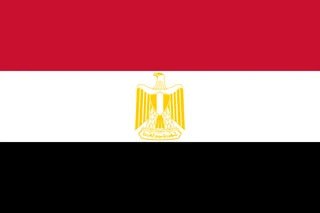
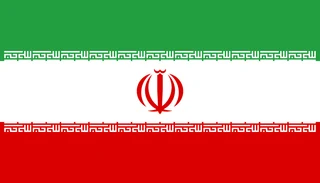
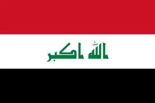
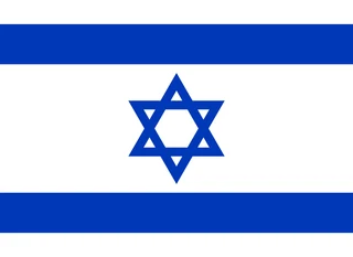
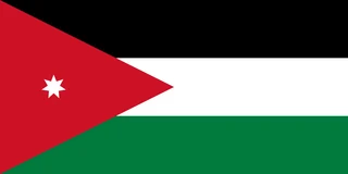
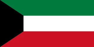
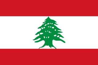
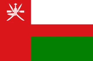
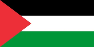
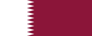
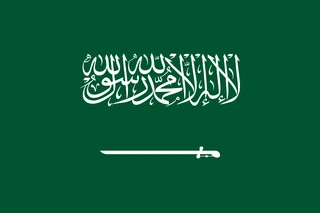
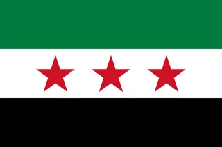
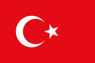
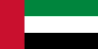
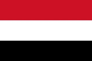
Flags of the Middle East
Frequently asked questions
What countries are in the Middle East?
This atlas counts 17: Bahrain, Cyprus, Egypt, Iran, Iraq, Israel, Jordan, Kuwait, Lebanon, Oman, Palestine, Qatar, Saudi Arabia, Syria, Turkey, the United Arab Emirates and Yemen. Definitions vary, and some lists also include Afghanistan, Libya or the Caucasus countries.
Is Egypt in the Middle East?
Yes. Egypt is usually counted in the Middle East for its history, language and politics, although most of it lies in Africa. Only the Sinai Peninsula, east of the Suez Canal, is in Asia. This atlas also counts Egypt in Africa.
What is the largest country in the Middle East?
Saudi Arabia is the largest country in the Middle East, at about 2.25 million km² (868,730 sq mi). Iran is second and Egypt third. Egypt has the most people, followed by Iran and Turkey.
What is the most populous country in the Middle East?
Egypt, with about 114.5 million people.
What is the smallest country in the Middle East?
Bahrain, with 787 km² (304 sq mi).
Where can I download a printable map of the Middle East?
On this page: the political map, the blank map and the coloring map can be downloaded for free as PNG and PDF.
Use this map
You can download, print and share this map for free, in class, in school projects, in presentations and on websites, as long as you credit the source: Map of the Middle East · Atlas of Maps (atlasofmaps.com), license CC BY 4.0.
More maps: Map of Europe · Map of Asia · Map of Africa · Map of Oceania · Map of North America · Map of South America · Map of Central America · Map of the Caribbean · Map of the European Union · Map of Latin America · Map of Southeast Asia · World map