Map of the United Kingdom with countries and capitals
The United Kingdom is an island country in northwestern Europe, made up of Great Britain and Northern Ireland. Its only land border is with Ireland, and it is surrounded by the Atlantic Ocean, the North Sea, the English Channel and the Irish Sea. The political map shows its 4 countries: England, Scotland, Wales and Northern Ireland, the capital, London, and major cities.

- Capital
- London
- Population
- 67.3 million (2021)
- Area
- 242,495 km² (93,628 sq mi)
- Population density
- 278 per km² (719 per sq mi)
- Official language
- English
- Currency
- pound sterling
- Demonym
- British
- Divisions
- 4 countries: England, Scotland, Wales and Northern Ireland
- Highest point
- Ben Nevis (1,345 m (4,413 ft))
- Calling code
- +44
- Internet domain
- .uk
- Official name
- United Kingdom of Great Britain and Northern Ireland
- Also known as
- UK, Great Britain, and Britain
Where is the United Kingdom?
The United Kingdom is an island country in northwestern Europe, made up of Great Britain and Northern Ireland. Its only land border is with Ireland, and it is surrounded by the Atlantic Ocean, the North Sea, the English Channel and the Irish Sea.
Neighboring countries: Ireland.

Countries of the United Kingdom and their capitals
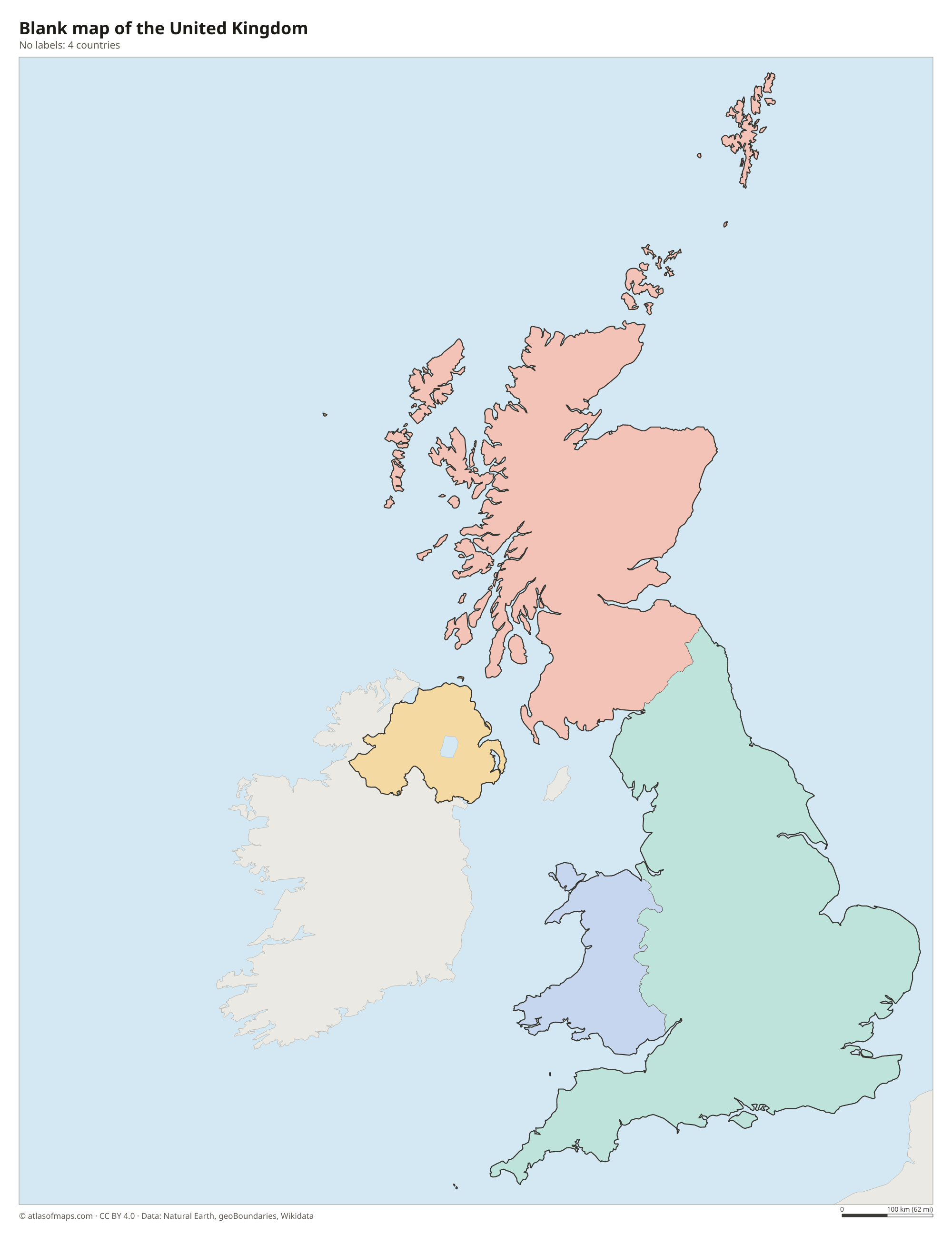
The United Kingdom is made up of 4 countries, England, Scotland, Wales and Northern Ireland, which are shown on the map. Scotland, Wales and Northern Ireland have their own devolved parliaments or assemblies. Overseas territories such as Bermuda are not drawn on the main map.
| Country | Capital | Population | Area |
|---|---|---|---|
| England | London | 57,106,398 | 130,278 km² (50,301 sq mi) |
| Northern Ireland | Belfast | 1,903,200 | 14,130 km² (5,456 sq mi) |
| Scotland | Edinburgh | 5,404,700 | 78,782 km² (30,418 sq mi) |
| Wales | Cardiff | 3,131,640 | 21,218 km² (8,192 sq mi) |
Population from Wikidata (latest figure available for each country).
Blank and coloring maps of the United Kingdom
Blank map of the United Kingdom

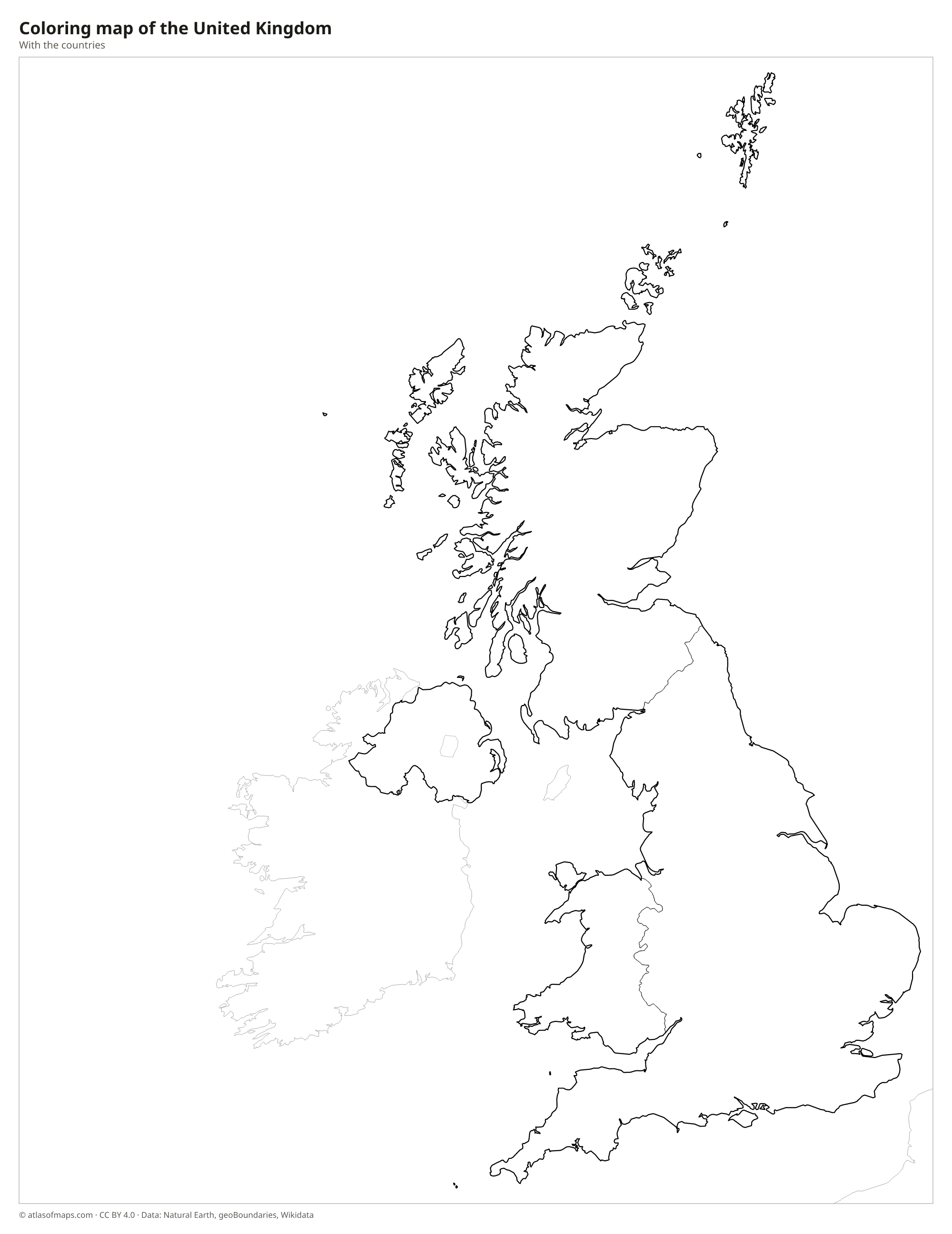
Coloring map of the United Kingdom

Geography of the United Kingdom
The UK covers about 242,495 km² (93,628 sq mi), with highland in the north and west and lowland in the south and east. Scotland holds the Highlands and the island groups of the Hebrides, Orkney and Shetland; Ben Nevis, near Fort William, is the highest point at 1,345 m (4,413 ft). The Pennines run down the middle of northern England, the Lake District lies to their west, and Wales is largely mountainous, with Snowdon as its highest peak. Southern and eastern England are mostly gentle hills, chalk downs and farmland.
The Severn is the longest river in the UK, and the Thames flows east through London, the capital, to the North Sea. Lough Neagh in Northern Ireland is the largest lake by area, while Scottish lochs such as Loch Lomond and Loch Ness fill deep glacial valleys. The coastline is long and deeply indented, with cliffs, estuaries and sandy beaches. The climate is temperate and maritime: winds from the Atlantic and the warm North Atlantic Current bring frequent rain and mild temperatures, and the west is wetter than the east.
Fun facts
- No place in the United Kingdom is more than about 113 km (70 mi) from the sea.
- The Channel Tunnel, opened in 1994, links England with France under the English Channel.
- Loch Ness holds more fresh water than all the lakes in England and Wales combined.
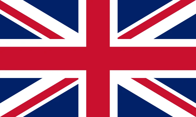
Flag of the United Kingdom
The flag of the United Kingdom, known as the Union Jack or Union Flag, is blue with a combination of crosses. A red upright cross edged in white sits in the center, on top of a white diagonal cross and a narrower red diagonal cross. The red diagonals are slightly offset, so the flag looks different when it is flown upside down.
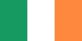
Countries bordering the United Kingdom
Frequently asked questions
What countries make up the United Kingdom?
The United Kingdom is made up of 4 countries: England, Scotland, Wales and Northern Ireland. England is the largest by both area and population.
Is the United Kingdom the same as Great Britain?
Not exactly. Great Britain is the largest island, containing England, Scotland and Wales, while the United Kingdom also includes Northern Ireland on the island of Ireland.
What countries border the United Kingdom?
The United Kingdom has one land border, with Ireland, which runs across the island of Ireland. France is the nearest country across the sea and is linked to England by the Channel Tunnel.
What is the capital of the United Kingdom?
The capital of the United Kingdom is London.
How many countries does the United Kingdom have?
The United Kingdom is divided into 4 countries: England, Scotland, Wales and Northern Ireland: England, Northern Ireland, Scotland, and Wales.
What language is spoken in the United Kingdom?
The official language is English.
Can I print the map of the United Kingdom?
Yes. Every map on this page can be downloaded for free as PNG or PDF (US Letter) and printed, including the blank map and the coloring map. Please credit the source (Atlas of Maps, CC BY 4.0).
Use this map
You can download, print and share this map for free, in class, in school projects, in presentations and on websites, as long as you credit the source: Map of the United Kingdom · Atlas of Maps (atlasofmaps.com), license CC BY 4.0.
See also: Map of Europe · World map