Map of Germany with states and capitals
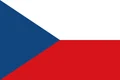
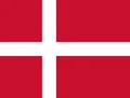
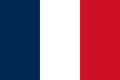
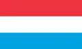
Germany is a country in Central Europe with coasts on the North Sea and the Baltic Sea. It borders nine countries: Denmark, Poland, the Czech Republic, Austria, Switzerland, France, Luxembourg, Belgium and the Netherlands. The political map shows its 16 states, the capital, Berlin, and major cities.

- Capital
- Berlin
- Population
- 83.5 million (2025)
- Area
- 357,588 km² (138,065 sq mi)
- Population density
- 233 per km² (605 per sq mi)
- Official language
- German
- Currency
- euro
- Demonym
- German
- Divisions
- 16 states
- Highest point
- Zugspitze (2,962 m (9,718 ft))
- Calling code
- +49
- Internet domain
- .de
- Official name
- Federal Republic of Germany
Where is Germany?
Germany is a country in Central Europe with coasts on the North Sea and the Baltic Sea. It borders nine countries: Denmark, Poland, the Czech Republic, Austria, Switzerland, France, Luxembourg, Belgium and the Netherlands.
Neighboring countries: Austria, Belgium, Switzerland, Czech Republic, Denmark, France, Luxembourg, Netherlands, Poland.

States of Germany and their capitals
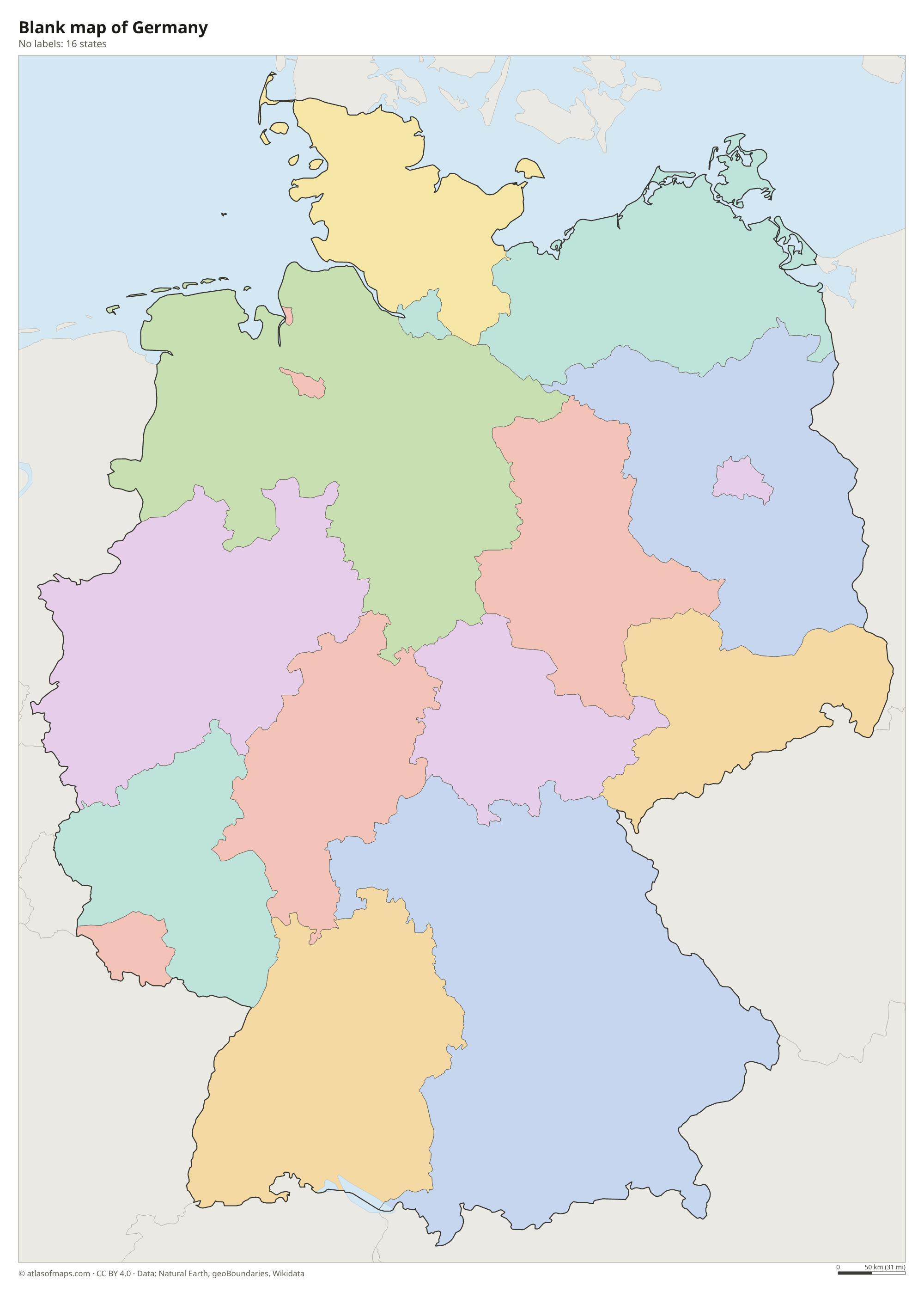
Germany is a federal country divided into 16 states (Länder). Three of them are city-states: Berlin, Hamburg and Bremen. Bavaria is the largest state by area and North Rhine-Westphalia the most populous.
| State | Capital | Population | Area |
|---|---|---|---|
| Baden-Württemberg | Stuttgart | 11,104,040 | 35,752 km² (13,804 sq mi) |
| Bavaria | Munich | 13,038,724 | 70,551 km² (27,240 sq mi) |
| Berlin | Berlin | 3,700,577 | 891 km² (344 sq mi) |
| Brandenburg | Potsdam | 2,534,075 | 29,479 km² (11,382 sq mi) |
| Free Hanseatic Bremen | Bremen | 693,204 | 419 km² (162 sq mi) |
| Hamburg | — | 1,869,473 | 755 km² (292 sq mi) |
| Hesse | Wiesbaden | 6,207,278 | 21,100 km² (8,147 sq mi) |
| Lower Saxony | Hanover | 7,943,265 | 47,614 km² (18,384 sq mi) |
| Mecklenburg-Western Pomerania | Schwerin | 1,570,817 | 23,174 km² (8,948 sq mi) |
| North Rhine-Westphalia | Düsseldorf | 17,890,489 | 34,113 km² (13,171 sq mi) |
| Rhineland-Palatinate | Mainz | 4,094,169 | 19,853 km² (7,665 sq mi) |
| Saarland | Saarbrücken | 1,006,864 | 2,570 km² (992 sq mi) |
| Saxony | Dresden | 4,089,467 | 18,416 km² (7,110 sq mi) |
| Saxony-Anhalt | Magdeburg | 2,146,443 | 20,454 km² (7,897 sq mi) |
| Schleswig-Holstein | Kiel | 2,953,270 | 15,804 km² (6,102 sq mi) |
| Thuringia | Erfurt | 2,110,396 | 16,171 km² (6,244 sq mi) |
Population from Wikidata (latest figure available for each state).
Blank and coloring maps of Germany
Blank map of Germany

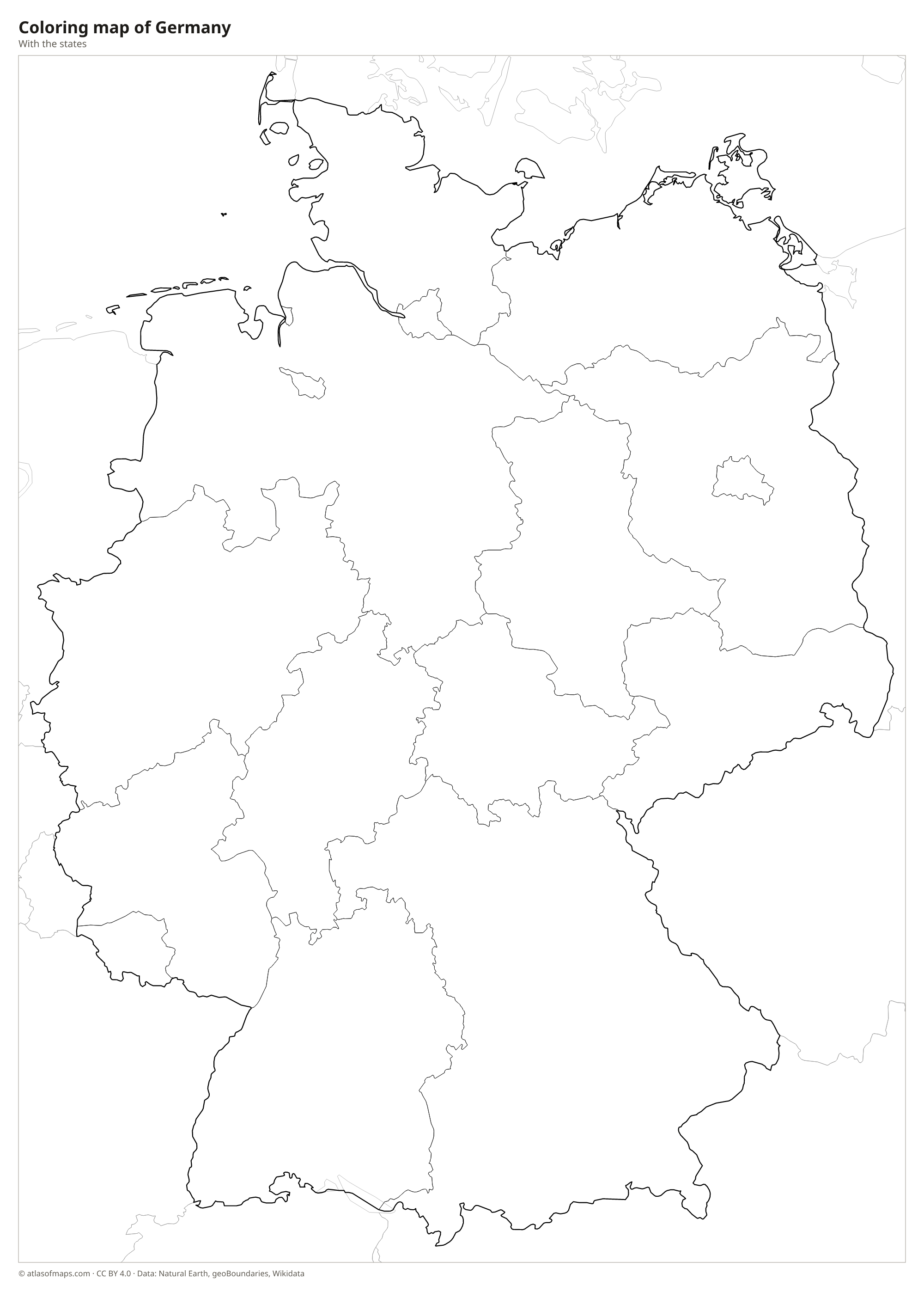
Coloring map of Germany

Geography of Germany
Germany covers 357,588 km² (138,065 sq mi), and its landscape rises from north to south. The North German Plain, flat and dotted with lakes and heathland, stretches across the north. The center is made up of the Central Uplands, a belt of forested hills and low mountains such as the Harz, the Black Forest and the Bavarian Forest. In the far south, the Alpine Foreland leads up to the Bavarian Alps along the Austrian border, where the Zugspitze reaches 2,962 m (9,718 ft), the country's highest point.
The Rhine, Germany's best-known river, flows north from Switzerland through a scenic gorge and on to the Netherlands, while the Elbe, Weser and Ems flow to the North Sea and the Oder forms part of the border with Poland. The Danube rises in the Black Forest and flows east toward Austria. Lake Constance is shared with Austria and Switzerland. The North Sea coast has the Wadden Sea and the Frisian Islands, while Rügen, in the Baltic, is the largest island. The climate is temperate, becoming more continental toward the east and south.
Fun facts
- The Danube rises in Germany's Black Forest and flows to the Black Sea, passing through more countries than any other river.
- The Zugspitze, on the border with Austria, can be reached by cog railway and cable car and has small glaciers near its summit.
- There is no formally agreed border across most of Lake Constance, which Germany shares with Austria and Switzerland.
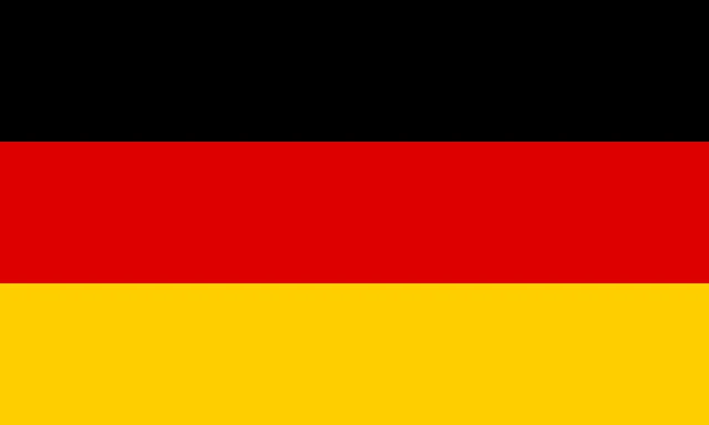
Flag of Germany
The flag of Germany is a horizontal tricolor of black, red and gold, in three bands of equal height. The color usually described as yellow is officially gold. The national flag has no emblem and proportions of 3:5, while federal authorities use a version with the federal eagle.
Countries bordering Germany
Frequently asked questions
What countries border Germany?
Germany borders nine countries: Denmark to the north, Poland and the Czech Republic to the east, Austria and Switzerland to the south, and France, Luxembourg, Belgium and the Netherlands to the west.
How many states does Germany have?
Germany has 16 states, called Länder. They include the city-states of Berlin, Hamburg and Bremen; Bavaria is the largest by area and North Rhine-Westphalia the most populous.
What is the capital of Germany?
The capital is Berlin, in the northeast of the country, which is also its largest city. Berlin is a city-state surrounded by the state of Brandenburg.
What language is spoken in Germany?
The official language is German.
Can I print the map of Germany?
Yes. Every map on this page can be downloaded for free as PNG or PDF (US Letter) and printed, including the blank map and the coloring map. Please credit the source (Atlas of Maps, CC BY 4.0).
Use this map
You can download, print and share this map for free, in class, in school projects, in presentations and on websites, as long as you credit the source: Map of Germany · Atlas of Maps (atlasofmaps.com), license CC BY 4.0.
See also: Map of Europe · Map of the European Union · World map