Map of North America with countries and capitals
North America is the third-largest continent, reaching from the Arctic Ocean in the north to Panama in the south, with the Pacific Ocean to the west and the Atlantic Ocean and the Caribbean Sea to the east. It joins South America at the border between Panama and Colombia. The map shows 23 countries plus seven territories, including Greenland and Puerto Rico.

The Rocky Mountains run down the west from western Canada to New Mexico, and the Sierra Madre ranges carry the high ground on through Mexico. In the east, the older and lower Appalachians stretch from Alabama to Newfoundland. Between them lie the Great Plains and the basin of the Mississippi River, which together with the Missouri forms one of the longest river systems in the world. The Great Lakes, on the border between Canada and the United States, hold a large share of the world's fresh surface water, and the rocky Canadian Shield wraps around Hudson Bay. The climate ranges from Arctic tundra in northern Canada and Greenland to deserts in the Southwest and northern Mexico and tropical rainforest in Central America.
North America is often split into Northern America (Canada, the United States, Greenland and Bermuda), Mexico, Central America and the Caribbean. In the seven-continent model taught in English-speaking schools, Central America and the Caribbean islands are part of North America. Canada is the largest country at 9,984,670 km² (3,855,101 sq mi), just ahead of the United States, and Saint Kitts and Nevis is the smallest at 269 km² (104 sq mi). Greenland, the largest island in the world, belongs geographically to North America but is an autonomous territory of Denmark. Capitals include Washington, D.C., Ottawa, Mexico City and Havana. Hawaii is a U.S. state but lies far out in the Pacific Ocean.
Blank and coloring maps of North America
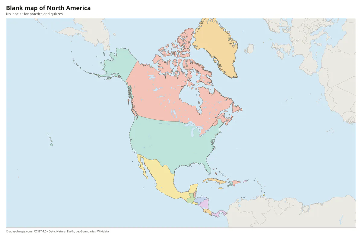
Blank map of North America
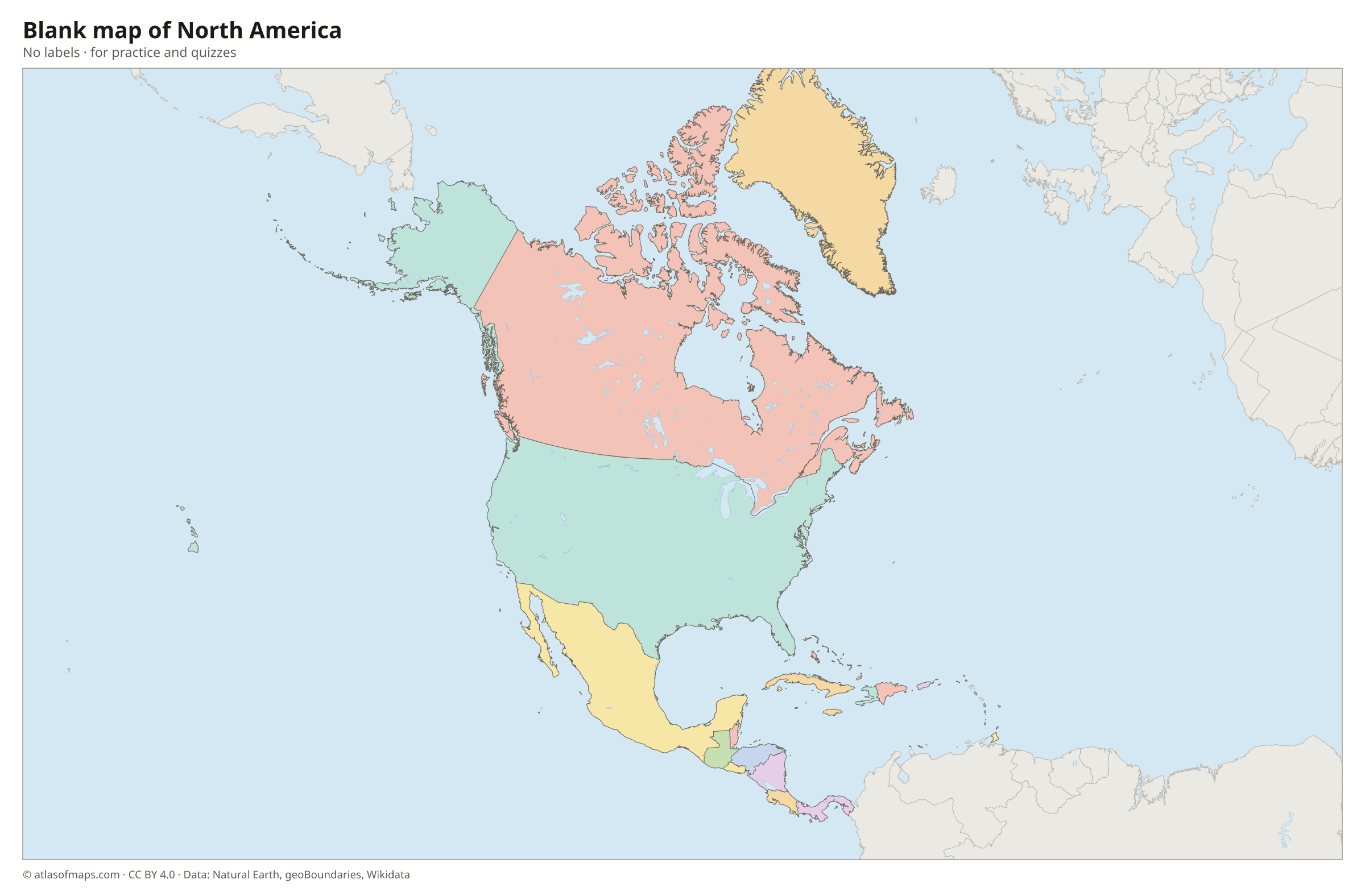
Coloring map of North America

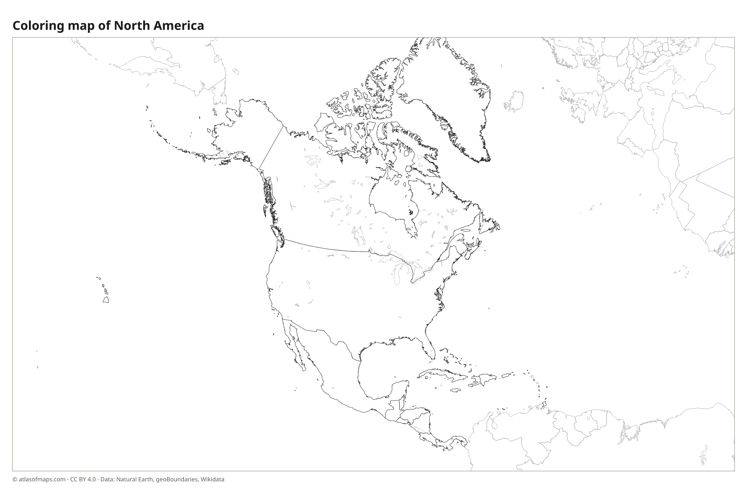
Countries of North America and their capitals
List of the countries of North America sorted by area and population →
| Country | Capital | Population | Area |
|---|---|---|---|
| Antigua and Barbuda | St. John's | 101,489 | 440 km² (170 sq mi) |
| Aruba (territory) | Oranjestad | 106,739 | 179 km² (69 sq mi) |
| Bahamas | Nassau | 399,440 | 13,878 km² (5,358 sq mi) |
| Barbados | Bridgetown | 303,431 | 439 km² (169 sq mi) |
| Belize | Belmopan | 411,106 | 22,966 km² (8,867 sq mi) |
| Bermuda (territory) | Hamilton | 65,024 | 53 km² (20 sq mi) |
| Canada | Ottawa | 36,991,981 | 9,984,670 km² (3,855,103 sq mi) |
| Cayman Islands (territory) | George Town | 88,833 | 264 km² (102 sq mi) |
| Costa Rica | San José | 5,265,575 | 51,180 km² (19,761 sq mi) |
| Cuba | Havana | 10,985,974 | 109,884 km² (42,426 sq mi) |
| Curaçao (territory) | Willemstad | 152,849 | 444 km² (171 sq mi) |
| Dominica | Roseau | 74,656 | 751 km² (290 sq mi) |
| Dominican Republic | Santo Domingo | 10,760,028 | 48,671 km² (18,792 sq mi) |
| El Salvador | San Salvador | 6,029,976 | 21,041 km² (8,124 sq mi) |
| Greenland (territory) | Nuuk | 56,609 | 2,166,086 km² (836,330 sq mi) |
| Grenada | St. George's | 114,299 | 349 km² (135 sq mi) |
| Guatemala | Guatemala City | 17,263,239 | 108,889 km² (42,042 sq mi) |
| Haiti | Port-au-Prince | 10,981,229 | 27,750 km² (10,714 sq mi) |
| Honduras | Tegucigalpa | 8,303,771 | 112,492 km² (43,433 sq mi) |
| Jamaica | Kingston | 2,697,983 | 10,992 km² (4,244 sq mi) |
| Mexico | Mexico City | 132,274,416 | 1,972,550 km² (761,606 sq mi) |
| Nicaragua | Managua | 5,142,098 | 120,340 km² (46,464 sq mi) |
| Panama | Panama City | 4,570,133 | 74,177 km² (28,640 sq mi) |
| Puerto Rico (territory) | San Juan | 3,285,874 | 9,104 km² (3,515 sq mi) |
| Saint Kitts and Nevis | Basseterre | 46,922 | 269 km² (104 sq mi) |
| Saint Lucia | Castries | 167,591 | 617 km² (238 sq mi) |
| Saint Vincent and the Grenadines | Kingstown | 109,897 | 389 km² (150 sq mi) |
| Trinidad and Tobago | Port of Spain | 1,369,125 | 5,128 km² (1,980 sq mi) |
| U.S. Virgin Islands (territory) | Charlotte Amalie | 87,146 | 346 km² (134 sq mi) |
| United States | Washington, D.C. | 340,110,988 | 9,826,675 km² (3,794,100 sq mi) |
Territories: Aruba, Bermuda, Cayman Islands, Curaçao, Greenland, Puerto Rico, and U.S. Virgin Islands.
Flags of North America
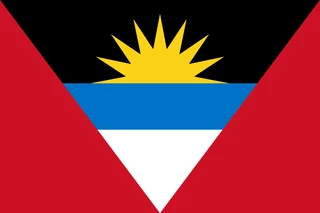 Antigua and Barbuda
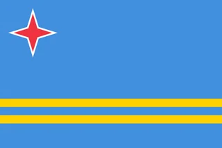 Aruba
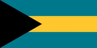 Bahamas
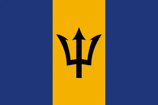 Barbados
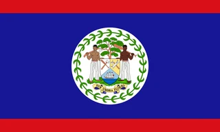 Belize
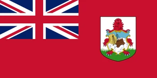 Bermuda
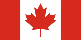 Canada
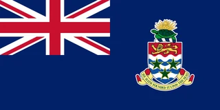 Cayman Islands
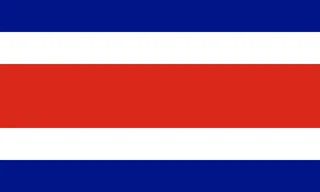 Costa Rica
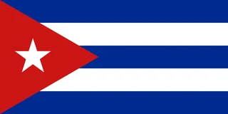 Cuba
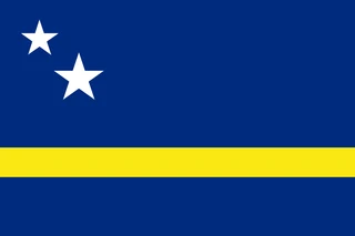 Curaçao
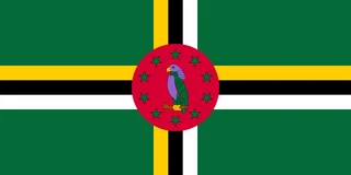 Dominica
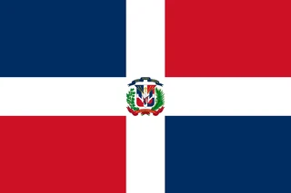 Dominican Republic
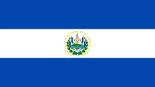 El Salvador
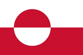 Greenland
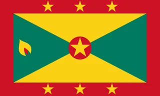 Grenada
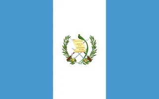 Guatemala
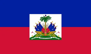 Haiti
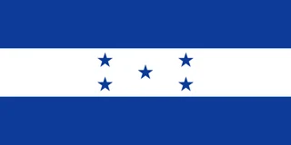 Honduras
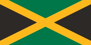 Jamaica
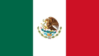 Mexico
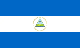 Nicaragua
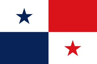 Panama
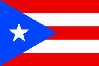 Puerto Rico
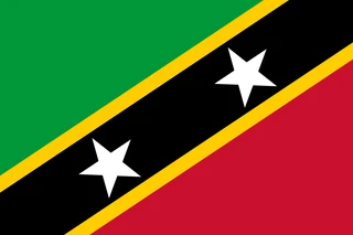 Saint Kitts and Nevis
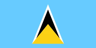 Saint Lucia
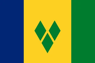 Saint Vincent and the Grenadines
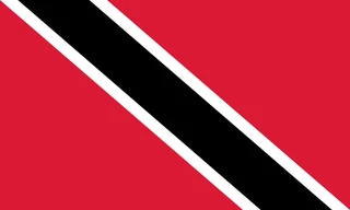 Trinidad and Tobago
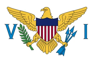 U.S. Virgin Islands
 United States
Frequently asked questions
How many countries are in North America?
North America has 23 countries, from Canada and the United States through Mexico and Central America to the island nations of the Caribbean. The map also shows territories such as Greenland, Puerto Rico, Bermuda and Aruba.
What is the largest country in North America?
Canada is the largest country in North America, at 9,984,670 km² (3,855,101 sq mi). The United States is a close second, and Mexico is third.
Is Greenland part of North America?
Yes. Greenland lies on the North American continental plate and is counted as part of North America. Politically, however, it is an autonomous territory of the Kingdom of Denmark, which is in Europe.
What is the most populous country in North America?
United States, with about 340.1 million people.
What is the smallest country in North America?
Saint Kitts and Nevis, with 269 km² (104 sq mi).
Where can I download a printable map of North America?
On this page: the political map, the blank map and the coloring map can be downloaded for free as PNG and PDF.
Use this map
You can download, print and share this map for free, in class, in school projects, in presentations and on websites, as long as you credit the source: Map of North America · Atlas of Maps (atlasofmaps.com), license CC BY 4.0.
More maps: Map of Europe · Map of Asia · Map of Africa · Map of Oceania · Map of South America · Map of Central America · Map of the Caribbean · Map of the Middle East · Map of the European Union · Map of Latin America · Map of Southeast Asia · World map