Map of Italy with regions and capitals
Italy is a country in southern Europe made up of a boot-shaped peninsula and the large islands of Sicily and Sardinia. It borders France, Switzerland, Austria and Slovenia, surrounds San Marino and Vatican City, and is enclosed by arms of the Mediterranean Sea. The political map shows its 20 regions, the capital, Rome, and major cities.

- Capital
- Rome
- Population
- 58.9 million (2023)
- Area
- 302,068 km² (116,629 sq mi)
- Population density
- 195 per km² (505 per sq mi)
- Official language
- Italian
- Currency
- euro
- Demonym
- Italian
- Divisions
- 20 regions
- Highest point
- Mont Blanc (4,806 m (15,768 ft))
- Calling code
- +39
- Internet domain
- .it
Where is Italy?
Italy is a country in southern Europe made up of a boot-shaped peninsula and the large islands of Sicily and Sardinia. It borders France, Switzerland, Austria and Slovenia, surrounds San Marino and Vatican City, and is enclosed by arms of the Mediterranean Sea.
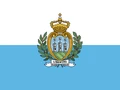
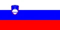
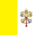
Neighboring countries: Austria, Switzerland, France, San Marino, Slovenia, Vatican City.

Regions of Italy and their capitals
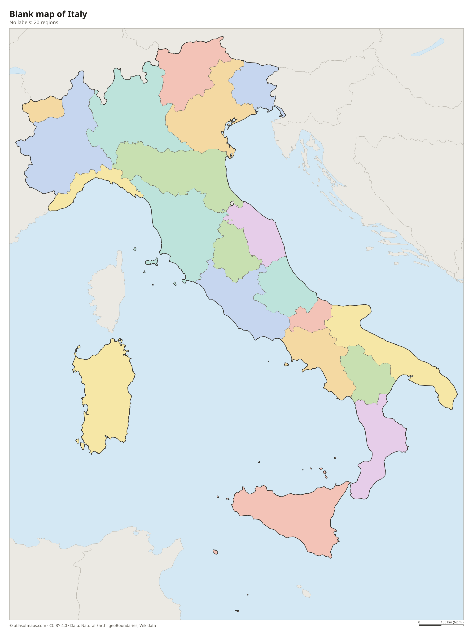
Italy is divided into 20 regions, such as Lombardy, Tuscany, Lazio and Sicily. Five of them, Aosta Valley, Trentino-Alto Adige, Friuli Venezia Giulia, Sicily and Sardinia, have special autonomy. Rome, the capital, is in Lazio.
| Region | Capital | Population | Area |
|---|---|---|---|
| Abruzzo | L'Aquila | 1,308,451 | 10,832 km² (4,182 sq mi) |
| Aosta | — | 33,093 | 21 km² (8.1 sq mi) |
| Apulia | Bari | 3,866,174 | 19,541 km² (7,545 sq mi) |
| Basilicata | Potenza | 547,579 | 9,995 km² (3,859 sq mi) |
| Calabria | Catanzaro | 1,947,131 | 15,222 km² (5,877 sq mi) |
| Campania | Naples | 5,786,373 | 13,671 km² (5,278 sq mi) |
| Emilia-Romagna | Bologna | 4,459,477 | 22,123 km² (8,542 sq mi) |
| Friuli Venezia Giulia | Trieste | 1,215,220 | 7,862 km² (3,036 sq mi) |
| Lazio | Rome | 5,720,536 | 17,236 km² (6,655 sq mi) |
| Liguria | Genoa | 1,550,640 | 5,422 km² (2,093 sq mi) |
| Lombardy | Milan | 10,067,494 | 23,864 km² (9,214 sq mi) |
| Marche | Ancona | 1,522,608 | 9,694 km² (3,743 sq mi) |
| Molise | Campobasso | 304,285 | 4,438 km² (1,714 sq mi) |
| Piedmont | Turin | 4,341,375 | 25,387 km² (9,802 sq mi) |
| Sardinia | Cagliari | 1,628,384 | 23,949 km² (9,247 sq mi) |
| Sicily | Palermo | 4,983,478 | 25,711 km² (9,927 sq mi) |
| Trentino-Alto Adige | — | — | — |
| Tuscany | Florence | 3,729,641 | 22,987 km² (8,875 sq mi) |
| Umbria | Perugia | 852,085 | 8,456 km² (3,265 sq mi) |
| Veneto | Venice | 4,869,830 | 18,345 km² (7,083 sq mi) |
Population from Wikidata (latest figure available for each region).
Blank and coloring maps of Italy
Blank map of Italy

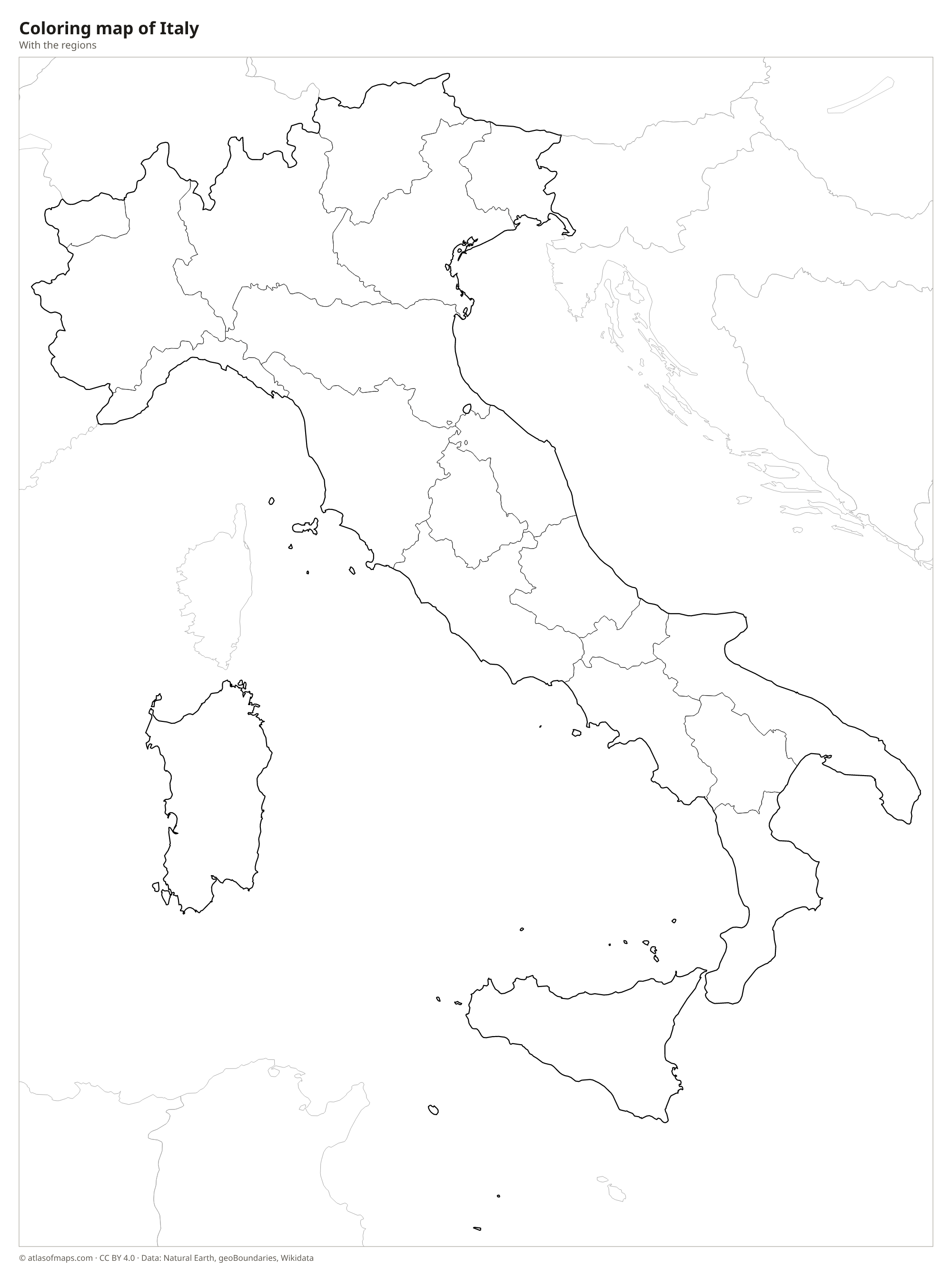
Coloring map of Italy

Geography of Italy
Italy covers 302,068 km² (116,629 sq mi), and mountains shape most of it. The Alps form a high wall along the northern border; Mont Blanc, on the border with France, is the highest point at 4,806 m (15,768 ft). The Apennines run down the whole peninsula like a spine, from Liguria to Calabria. Between the Alps and the Apennines lies the Po Valley, the country's largest plain. Italy also has active volcanoes, including Vesuvius near Naples, Stromboli, and Etna on Sicily, one of the most active volcanoes in the world.
The Po, the longest river in Italy, flows east across the northern plain to the Adriatic Sea. Other important rivers are the Adige, the Arno, which passes Florence and Pisa, and the Tiber, which runs through Rome. Large lakes such as Garda, Maggiore and Como fill valleys at the foot of the Alps. The long coastline faces the Ligurian, Tyrrhenian, Ionian and Adriatic Seas. Most of Italy has a Mediterranean climate with hot, dry summers, while the Po Valley has foggy winters and the Alps are cold and snowy.
Fun facts
- Sicily is the largest island in the Mediterranean Sea.
- Vesuvius buried the Roman towns of Pompeii and Herculaneum in an eruption in AD 79.
- The small Italian town of Campione d'Italia is an exclave completely surrounded by Switzerland.
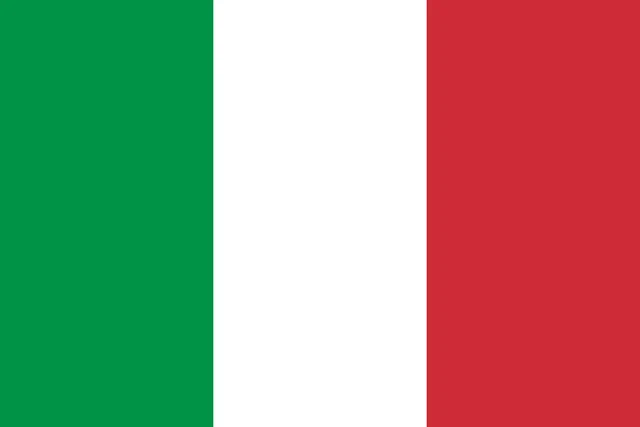
Flag of Italy
Italy's flag, called il Tricolore, has three equal vertical stripes: green next to the pole, white in the middle and red on the far side. It has no emblem and a 2:3 ratio. It looks like the flag of Mexico without the coat of arms, though Mexico's flag is longer and uses darker shades.
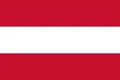
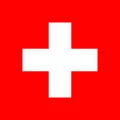
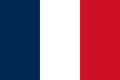
Countries bordering Italy
Frequently asked questions
What countries border Italy?
Italy borders France to the northwest, Switzerland and Austria to the north and Slovenia to the northeast. It also completely surrounds two small countries, San Marino and Vatican City.
How many regions does Italy have?
Italy has 20 regions. Fifteen have ordinary status, and five, Aosta Valley, Trentino-Alto Adige, Friuli Venezia Giulia, Sicily and Sardinia, have special autonomy with extra powers of self-government.
Why is Italy shaped like a boot?
The peninsula follows the line of the Apennine Mountains, which were pushed up by the slow collision of the African and Eurasian plates. Calabria forms the toe of the boot, Apulia the heel, and Sicily lies just off the toe.
What is the capital of Italy?
The capital of Italy is Rome.
What language is spoken in Italy?
The official language is Italian.
Can I print the map of Italy?
Yes. Every map on this page can be downloaded for free as PNG or PDF (US Letter) and printed, including the blank map and the coloring map. Please credit the source (Atlas of Maps, CC BY 4.0).
Use this map
You can download, print and share this map for free, in class, in school projects, in presentations and on websites, as long as you credit the source: Map of Italy · Atlas of Maps (atlasofmaps.com), license CC BY 4.0.
See also: Map of Europe · Map of the European Union · World map