Map of Nigeria with states and capitals
Nigeria is a country in West Africa on the Gulf of Guinea. It borders Benin to the west, Niger to the north, Chad to the northeast and Cameroon to the east, with a southern coast on the Atlantic Ocean. The political map shows its 37 states, the capital, Abuja, and major cities.

- Capital
- Abuja
- Population
- 211.4 million (2021)
- Area
- 923,768 km² (356,669 sq mi)
- Population density
- 229 per km² (593 per sq mi)
- Official language
- English
- Currency
- naira
- Demonym
- Nigerian
- States
- 37
- Highest point
- Chappal Waddi (2,419 m (7,936 ft))
- Calling code
- +234
- Internet domain
- .ng
- Official name
- Federal Republic of Nigeria
Where is Nigeria?
Nigeria is a country in West Africa on the Gulf of Guinea. It borders Benin to the west, Niger to the north, Chad to the northeast and Cameroon to the east, with a southern coast on the Atlantic Ocean.

States of Nigeria and their capitals
Nigeria is a federation of 36 states and the Federal Capital Territory, where Abuja is located, 37 units on the map. Lagos is the smallest state by area but one of the most populous, and Niger State is the largest.
| State | Capital | Population | Area |
|---|---|---|---|
| Abia | Umuahia | 3,727,347 | 6,320 km² (2,440 sq mi) |
| Adamawa | Yola | 4,248,436 | 36,917 km² (14,254 sq mi) |
| Akwa Ibom | Uyo | 5,482,177 | 7,081 km² (2,734 sq mi) |
| Anambra | Awka | 5,527,809 | 4,844 km² (1,870 sq mi) |
| Bauchi | Bauchi | 6,834,314 | 45,837 km² (17,698 sq mi) |
| Bayelsa | Yenegoa | 2,277,961 | 21,110 km² (8,151 sq mi) |
| Benue | Makurdi | 5,741,815 | 34,059 km² (13,150 sq mi) |
| Borno | Maiduguri | 5,860,183 | 70,898 km² (27,374 sq mi) |
| Cross River | Calabar | 3,866,269 | 20,156 km² (7,782 sq mi) |
| Delta | Asaba | 5,663,362 | 17,698 km² (6,833 sq mi) |
| Ebonyi | Abakaliki | 3,490,383 | 5,533 km² (2,136 sq mi) |
| Edo | Benin City | 4,235,595 | 17,802 km² (6,873 sq mi) |
| Ekiti | Ado Ekiti | 3,270,798 | 6,353 km² (2,453 sq mi) |
| Enugu | Enugu | 4,411,119 | 7,161 km² (2,765 sq mi) |
| Federal Capital Territory | Abuja | 3,564,126 | 7,315 km² (2,824 sq mi) |
| Gombe | Gombe | 3,256,962 | 18,768 km² (7,246 sq mi) |
| Imo | Owerri | 5,408,756 | 5,530 km² (2,135 sq mi) |
| Jigawa | Dutse | 6,000,163 | 23,154 km² (8,940 sq mi) |
| Kaduna | Kaduna | 8,252,366 | 46,053 km² (17,781 sq mi) |
| Kano | Kano | 16,076,892 | 20,131 km² (7,773 sq mi) |
| Katsina | Katsina | 7,831,319 | 24,192 km² (9,341 sq mi) |
| Kebbi | Birnin Kebbi | 4,440,050 | 36,800 km² (14,209 sq mi) |
| Kogi | Lokoja | 4,473,490 | 29,833 km² (11,519 sq mi) |
| Kwara | Ilorin | 3,192,893 | 36,825 km² (14,218 sq mi) |
| Lagos | Ikeja | 11,000,598 | 3,577 km² (1,381 sq mi) |
| Nasarawa | Lafia | 2,523,395 | 27,117 km² (10,470 sq mi) |
| Niger | Minna | 5,556,247 | 76,363 km² (29,484 sq mi) |
| Ogun | Abeokuta | 5,217,716 | 16,981 km² (6,556 sq mi) |
| Ondo | Akure | 4,671,695 | 15,500 km² (5,985 sq mi) |
| Osun | Osogbo | 4,705,589 | 9,251 km² (3,572 sq mi) |
| Oyo | Ibadan | 7,667,318 | 28,454 km² (10,986 sq mi) |
| Plateau | Jos | 4,200,442 | 30,913 km² (11,936 sq mi) |
| Rivers | Port Harcourt | 7,000,924 | 11,077 km² (4,277 sq mi) |
| Sokoto | Sokoto | 4,998,090 | 25,973 km² (10,028 sq mi) |
| Taraba | Jalingo | 3,066,834 | 54,473 km² (21,032 sq mi) |
| Yobe | Damaturu | 3,649,600 | 45,750 km² (17,664 sq mi) |
| Zamfara | Gusau | 5,482,423 | 39,762 km² (15,352 sq mi) |
Population from Wikidata (latest figure available for each state).
Blank and coloring maps of Nigeria
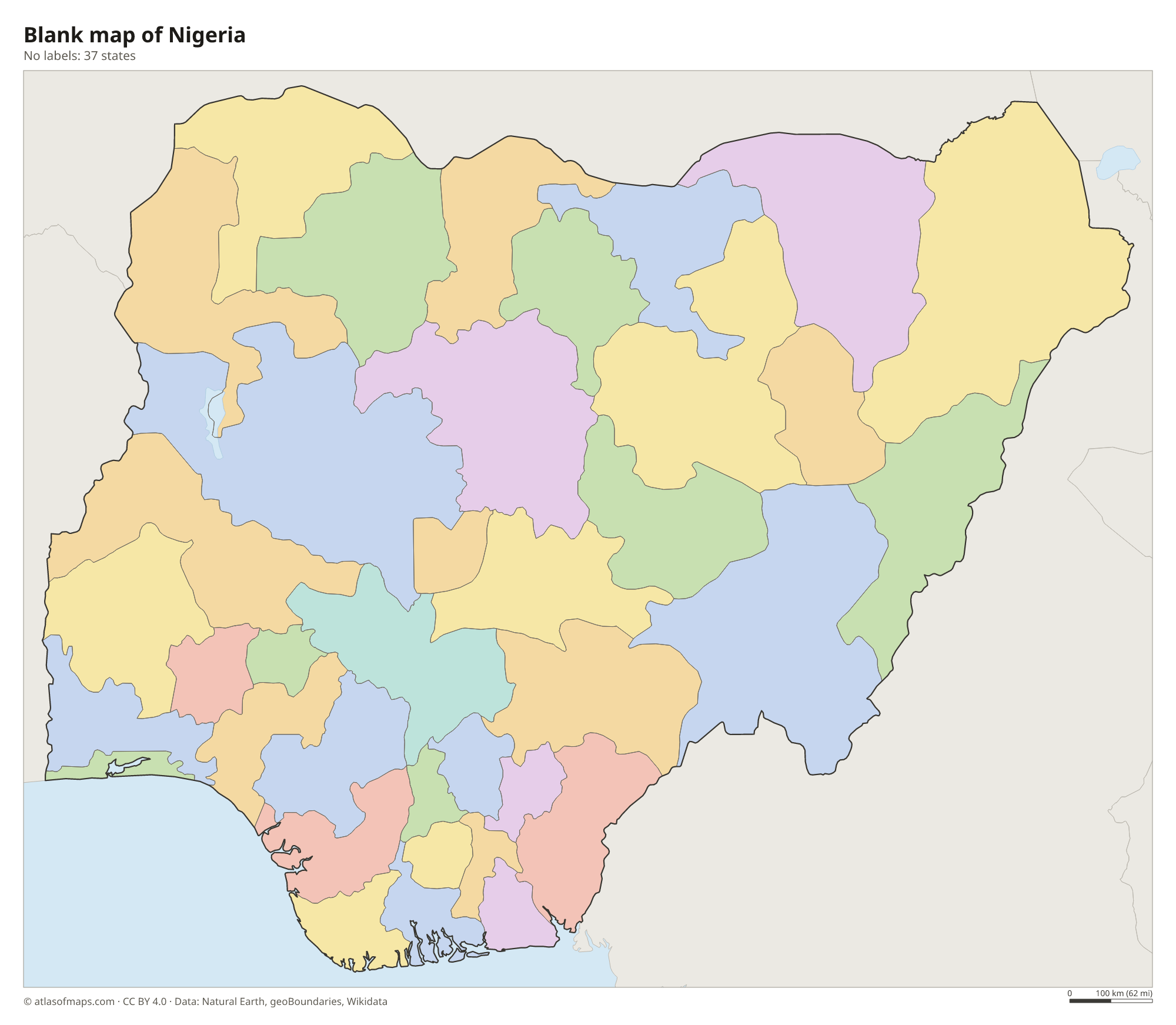
Blank map of Nigeria

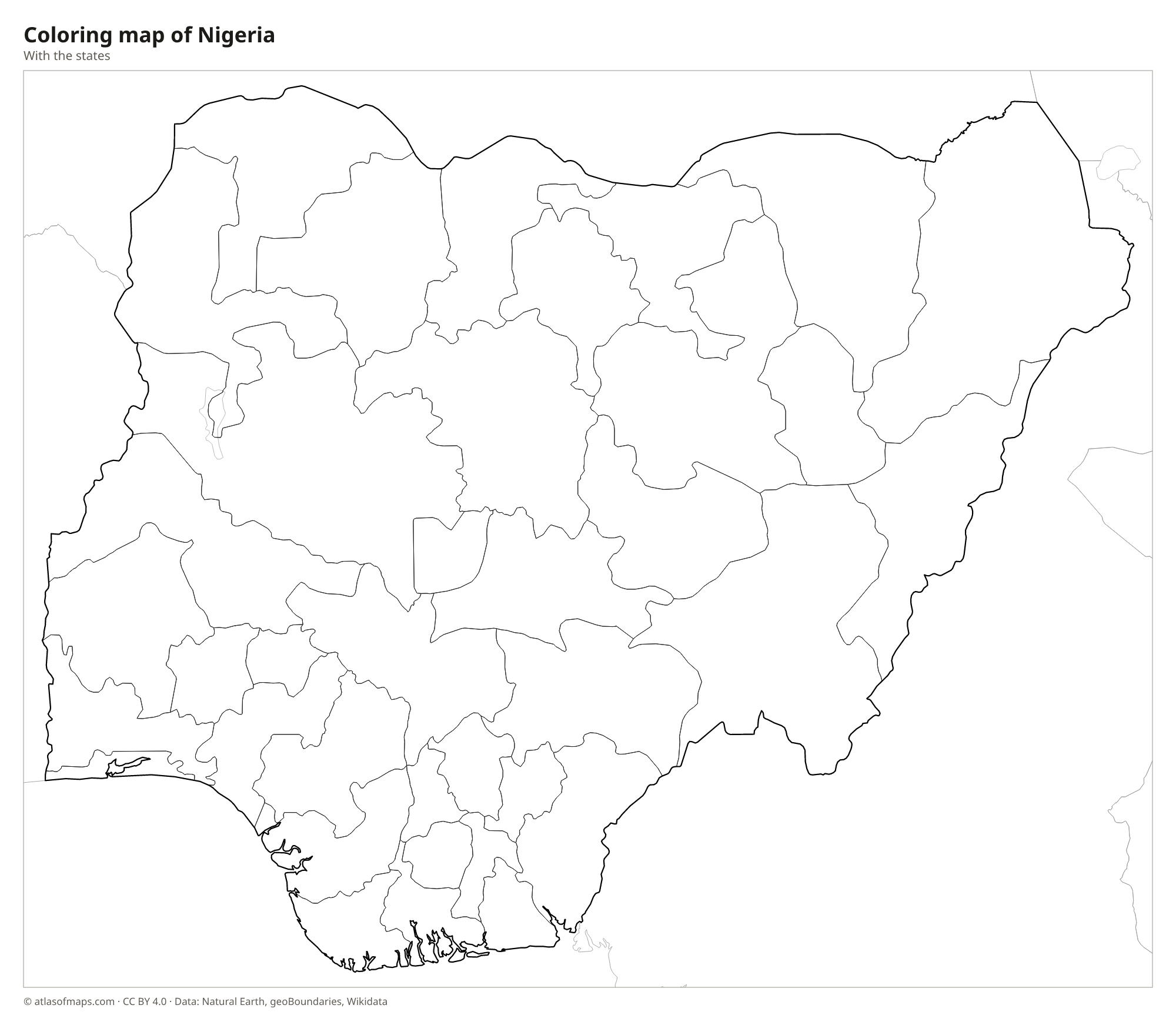
Coloring map of Nigeria

Geography of Nigeria
Nigeria covers 923,768 km² (356,669 sq mi). Behind its coast lies a belt of mangrove swamps and lagoons, followed by rainforest and then wide savanna plateaus that cover much of the country. The Jos Plateau rises in the center, and in the east, along the border with Cameroon, the Mambilla Plateau and the Gotel Mountains hold the highest point, Chappal Waddi, at 2,419 m (7,936 ft). The far north is flat and dry, part of the Sahel.
The Niger River enters from the northwest and meets its largest tributary, the Benue, at Lokoja, forming a Y shape on the map. The combined river flows south into the Niger Delta, one of the largest river deltas in the world and the center of Nigeria's oil industry. In the far northeast, Nigeria touches Lake Chad. The south has a hot, humid climate with a long rainy season, while the north has a short rainy season and a dry, dusty harmattan wind from the Sahara in winter.
Fun facts
- With 211,400,708 people (2021), Nigeria has the largest population of any country in Africa.
- Abuja, near the center of the country, replaced Lagos as the capital in 1991.
- Zuma Rock, a huge granite monolith near Abuja, appears on the 100-naira banknote.
Flag of Nigeria
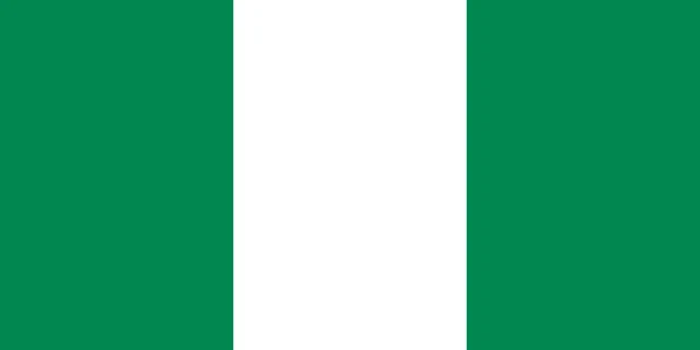
The flag of Nigeria has three equal vertical bands: green, white and green. It has no emblem or seal and a 1:2 ratio, which makes it twice as long as it is tall. The simple design was chosen as the winning entry in a national competition held before independence.
Countries bordering Nigeria
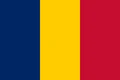
Frequently asked questions
What countries border Nigeria?
Nigeria borders four countries: Benin to the west, Niger to the north, Chad to the northeast and Cameroon to the east. Its southern coast faces the Gulf of Guinea.
How many states does Nigeria have?
Nigeria has 36 states and the Federal Capital Territory, which contains Abuja, the capital. The map shows these 37 units.
What is the largest city in Nigeria?
Lagos, on the coast in the southwest, is the largest city in Nigeria and one of the largest in Africa. It was the capital until 1991, when the government moved to Abuja.
What is the capital of Nigeria?
The capital of Nigeria is Abuja.
What language is spoken in Nigeria?
The official language is English.
Can I print the map of Nigeria?
Yes. Every map on this page can be downloaded for free as PNG or PDF (US Letter) and printed, including the blank map and the coloring map. Please credit the source (Atlas of Maps, CC BY 4.0).
Use this map
You can download, print and share this map for free, in class, in school projects, in presentations and on websites, as long as you credit the source: Map of Nigeria · Atlas of Maps (atlasofmaps.com), license CC BY 4.0.
See also: Map of Africa · World map