World map with countries
This world map shows every country with its borders and name, the oceans and the major seas. Below it are a blank world map for practice, a world map to color and a black and white version that saves ink. All of them are free to download and print.
Political world map with country names

The map uses the Robinson projection, the one most school atlases use because it balances the distortions: the shapes and sizes of the continents look close to reality, although no flat map can show the round Earth without distorting it (the world map projections page compares the most common ones). Countries are labeled where the name fits; the smallest ones are labeled on the map of each continent.
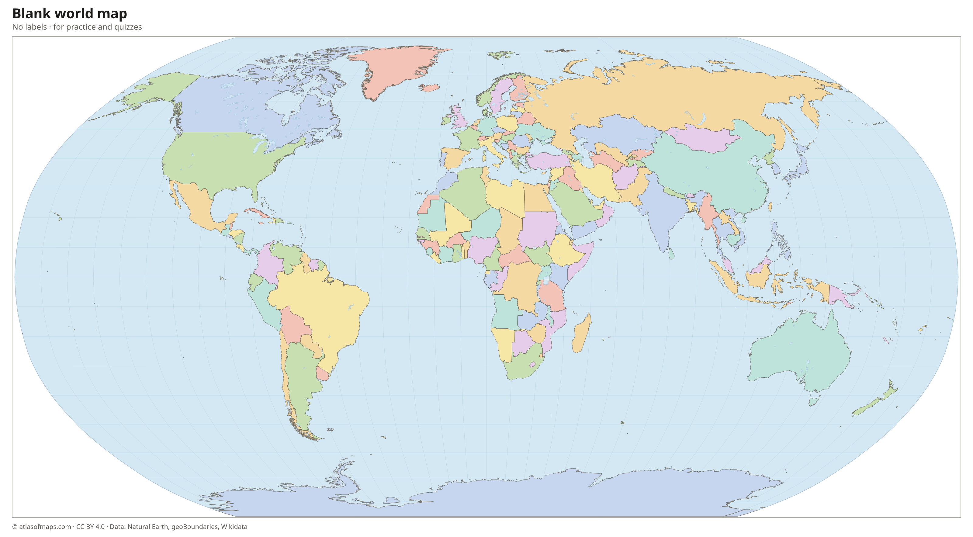
Blank world map

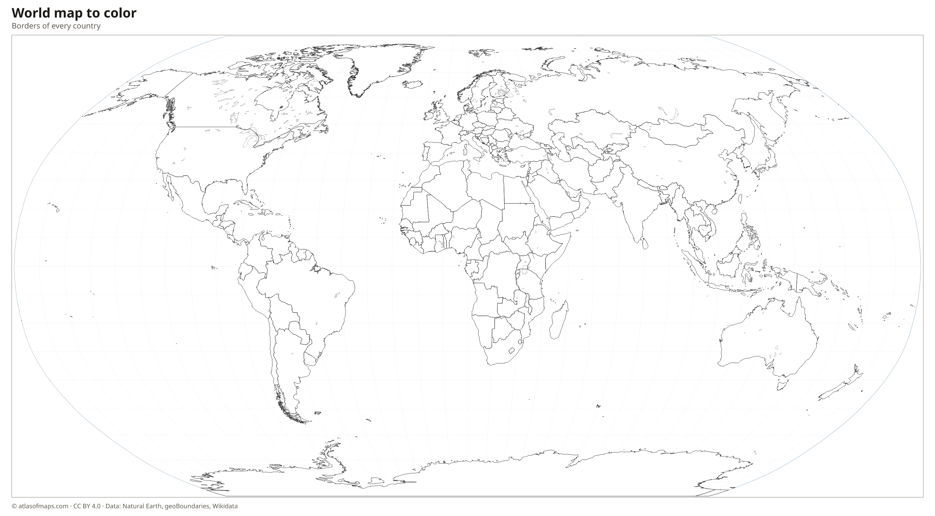
World map coloring page

Black and white world map with names
The same political map with the names of the countries and oceans, in black and white: it uses little ink when printed and can be colored in afterwards. The PDF is vector, so it prints sharp on Letter, A4 or larger paper.

World map with the continents

Maps of each continent with its countries and capitals:
Frequently asked questions
How many countries are on the world map?
The map shows the 212 countries and territories of this atlas: the 193 members of the United Nations, the Vatican and Palestine, and territories such as Greenland and Puerto Rico.
Why does Greenland look so big on some world maps?
On the Mercator projection, areas near the poles are stretched, so Greenland looks as big as Africa although Africa is about 14 times larger. This map uses the Robinson projection, which keeps Greenland much closer to its real size.
How do I print a large world map?
Download the 3,200-pixel PNG or the PDF. The PDF is vector, so it can be printed on US Letter, A4 or enlarged to poster size without losing quality.
Can I use this world map in my class or on my website?
Yes. All maps are free under the CC BY 4.0 license: you can print, share and publish them as long as you credit Atlas of Maps.
Use this map
You can download, print and share this map for free, in class, in school projects, in presentations and on websites, as long as you credit the source: World map with countries · Atlas of Maps (atlasofmaps.com), license CC BY 4.0.