Map of South Africa with provinces and capitals
South Africa is the southernmost country of the African continent, with coasts on both the Atlantic and Indian Oceans. It borders Namibia, Botswana, Zimbabwe, Mozambique and Eswatini and completely surrounds Lesotho. The political map shows its 9 provinces, the capital, Pretoria, Bloemfontein, and Cape Town, and major cities.

- Capital
- Pretoria, Bloemfontein, and Cape Town
- Population
- 62 million (2022)
- Area
- 1,221,037 km² (471,445 sq mi)
- Population density
- 51 per km² (132 per sq mi)
- Official languages
- English, Afrikaans, Southern Ndebele, Northern Sotho, Sesotho, and Swazi
- Currency
- rand
- Demonym
- South African
- Provinces
- 9
- Highest point
- Mafadi (3,450 m (11,319 ft))
- Calling code
- +27
- Internet domain
- .za
- Official name
- Republic of South Africa
Where is South Africa?
South Africa is the southernmost country of the African continent, with coasts on both the Atlantic and Indian Oceans. It borders Namibia, Botswana, Zimbabwe, Mozambique and Eswatini and completely surrounds Lesotho.
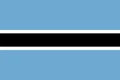
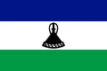
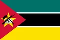
Neighboring countries: Botswana, Lesotho, Mozambique, Namibia, Eswatini, Zimbabwe.

Provinces of South Africa and their capitals
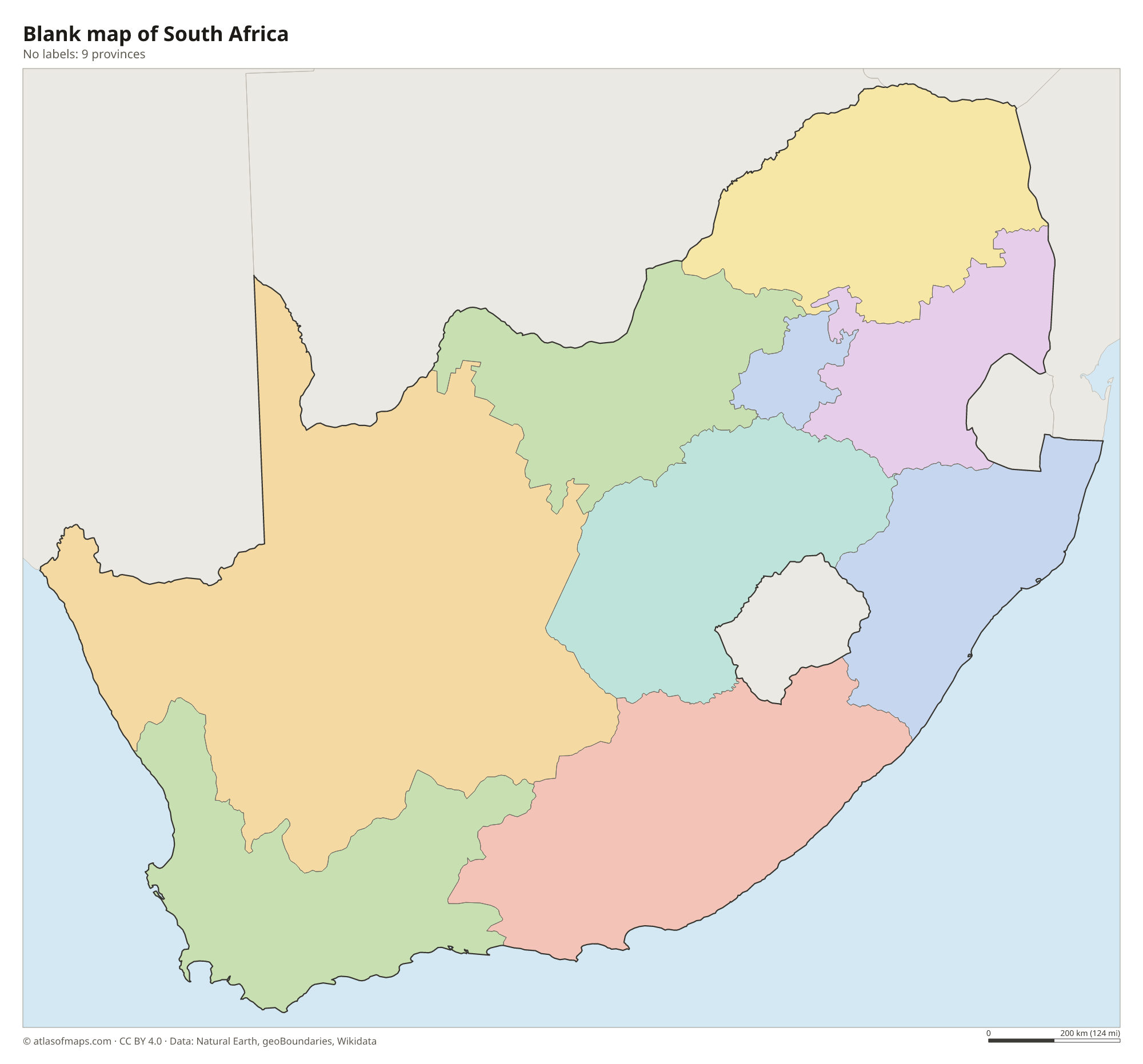
South Africa has 9 provinces, all shown on the map, from the Western Cape around Cape Town to Limpopo in the north. Gauteng, the smallest by area, is the most populous and contains both Johannesburg and Pretoria.
| Province | Capital | Population | Area |
|---|---|---|---|
| Eastern Cape | Bhisho | 7,230,204 | 168,966 km² (65,238 sq mi) |
| Free State | Bloemfontein | 2,964,412 | 129,825 km² (50,126 sq mi) |
| Gauteng | Johannesburg | 15,099,422 | 18,178 km² (7,019 sq mi) |
| KwaZulu-Natal | Pietermaritzburg | 12,423,907 | 94,361 km² (36,433 sq mi) |
| Limpopo | Polokwane | 6,572,720 | 125,754 km² (48,554 sq mi) |
| Mpumalanga | Mbombela | 5,143,324 | 76,495 km² (29,535 sq mi) |
| North West | Mahikeng | 3,804,548 | 104,882 km² (40,495 sq mi) |
| Northern Cape | Kimberley | 1,355,946 | 372,889 km² (143,973 sq mi) |
| Western Cape | Cape Town | 7,113,776 | 129,462 km² (49,986 sq mi) |
Population from Wikidata (latest figure available for each province).
Blank and coloring maps of South Africa
Blank map of South Africa

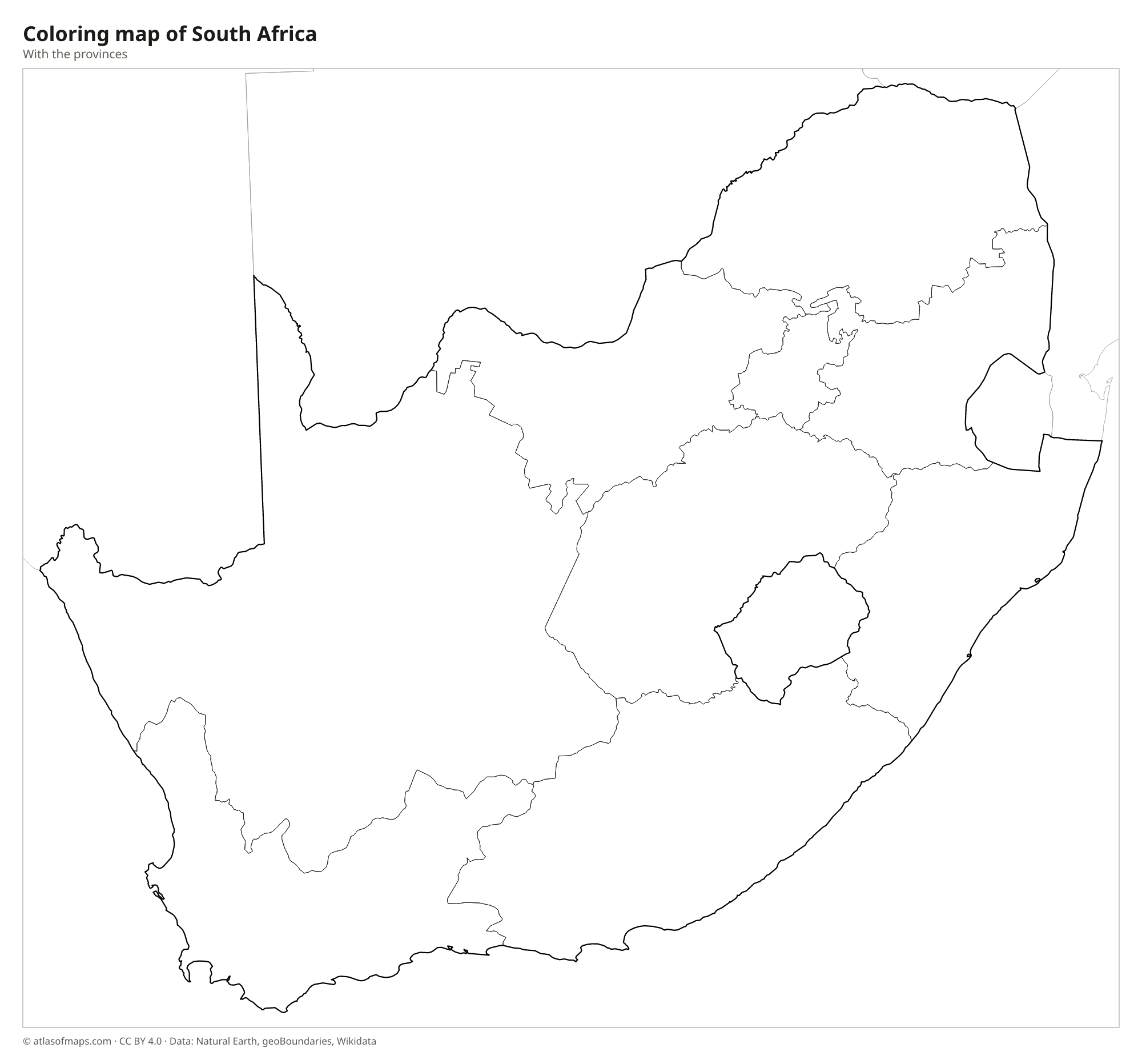
Coloring map of South Africa

Geography of South Africa
Most of South Africa's interior is a high plateau, the Highveld, rimmed by the Great Escarpment, which drops steeply to a narrow coastal belt. The escarpment is highest in the Drakensberg on the border with Lesotho, where Mafadi is the highest point at 3,450 m (11,319 ft). The semi-arid Karoo stretches across the center, the Kalahari reaches in from the north, and the Cape Fold Mountains run along the southwest and south coasts. Table Mountain, with its flat top, rises above Cape Town.
The Orange River, the longest, flows west across the country to the Atlantic, and its tributary, the Vaal, drains much of the Highveld; the Limpopo marks the northern border with Botswana and Zimbabwe. The southwest has a Mediterranean climate with winter rain, the east coast is warm and humid, and the west is dry, with the Namaqualand region known for its spring flowers. Wildlife areas include Kruger National Park in the northeast and the fynbos shrublands of the Cape. Cape Agulhas is the southernmost point of Africa.
Fun facts
- South Africa has three capital cities: Pretoria (executive), Cape Town (legislative) and Bloemfontein (judicial).
- Johannesburg, the largest city, grew up on the gold fields of the Witwatersrand.
- Lesotho is one of only three countries entirely surrounded by a single other country.
Flag of South Africa
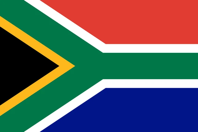
The flag of South Africa shows a green horizontal Y shape, edged in white and yellow, which starts at the two hoist corners and joins into a single band reaching the fly. The black triangle at the hoist is bordered in yellow. Above the Y is a red band, and below it a blue band.
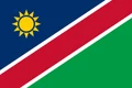
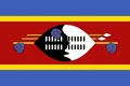
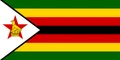
Countries bordering South Africa
Frequently asked questions
What countries border South Africa?
South Africa borders Namibia, Botswana and Zimbabwe to the north, Mozambique and Eswatini to the northeast, and Lesotho, which it completely surrounds. The Atlantic and Indian Oceans wash its coasts.
How many provinces does South Africa have?
South Africa has 9 provinces: Eastern Cape, Free State, Gauteng, KwaZulu-Natal, Limpopo, Mpumalanga, North West, Northern Cape and Western Cape. The Northern Cape is the largest by area.
What is the capital of South Africa?
South Africa has three capitals: Pretoria, seat of the government; Cape Town, seat of Parliament; and Bloemfontein, seat of the Supreme Court of Appeal. The largest city is Johannesburg.
What language is spoken in South Africa?
The official languages are English, Afrikaans, Southern Ndebele, Northern Sotho, Sesotho, and Swazi.
Can I print the map of South Africa?
Yes. Every map on this page can be downloaded for free as PNG or PDF (US Letter) and printed, including the blank map and the coloring map. Please credit the source (Atlas of Maps, CC BY 4.0).
Use this map
You can download, print and share this map for free, in class, in school projects, in presentations and on websites, as long as you credit the source: Map of South Africa · Atlas of Maps (atlasofmaps.com), license CC BY 4.0.
See also: Map of Africa · World map