Map of Africa with countries and capitals
Africa is the second-largest continent, lying south of Europe across the Mediterranean Sea and joined to Asia only by the Isthmus of Suez. The Atlantic Ocean borders it to the west, the Indian Ocean to the east and the Red Sea to the northeast. The map shows 54 countries plus Western Sahara, a territory whose status is disputed.

The Sahara, the largest hot desert on Earth, covers much of the north, and the Kalahari and Namib deserts lie in the southwest. Between them, wide savannas surround the rainforests of the Congo Basin along the equator. In the east, the Great Rift Valley holds long, deep lakes such as Lake Tanganyika. Lake Victoria, the continent's largest lake, lies between its branches, and Mount Kilimanjaro rises to 5,895 m (19,341 ft), Africa's highest point. The Nile flows north to the Mediterranean, the Congo and the Niger drain central and western Africa, and the Zambezi plunges over Victoria Falls. Mediterranean climates with dry summers are found at both ends of the continent, in the far north and around Cape Town.
Africa is usually divided into North, West, Central, East and Southern Africa, and the lands south of the Sahara are often called sub-Saharan Africa. Algeria is the largest country at about 2.38 million km² (919,595 sq mi), followed by the Democratic Republic of the Congo and Sudan; the island nation of Seychelles is the smallest at 459 km² (177 sq mi). Nigeria has the most people. Several capitals are not the largest city of their country, for example Abuja in Nigeria, Dodoma in Tanzania and Yamoussoukro in Ivory Coast. Western Sahara, claimed by Morocco and by the Polisario Front, is shown separately. Egypt's Sinai Peninsula lies in Asia, but Egypt is counted with Africa.
Blank and coloring maps of Africa
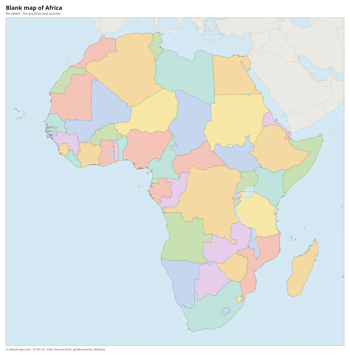
Blank map of Africa
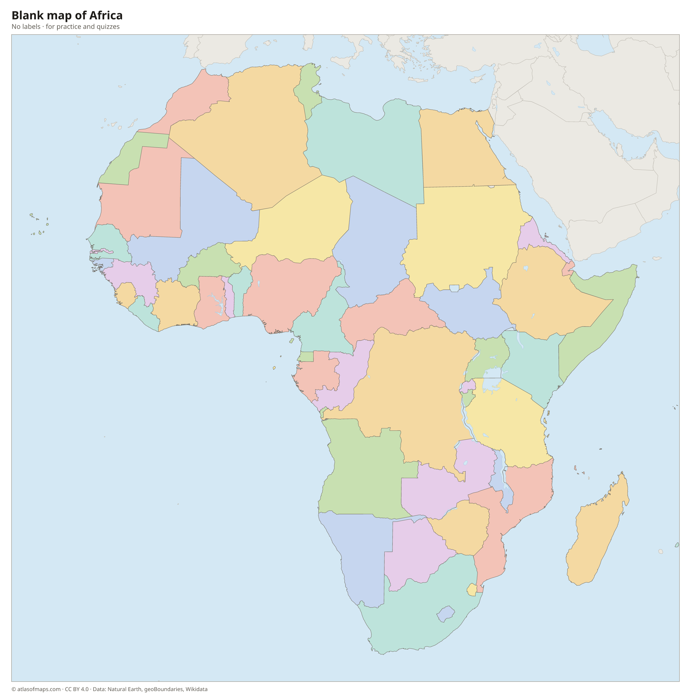
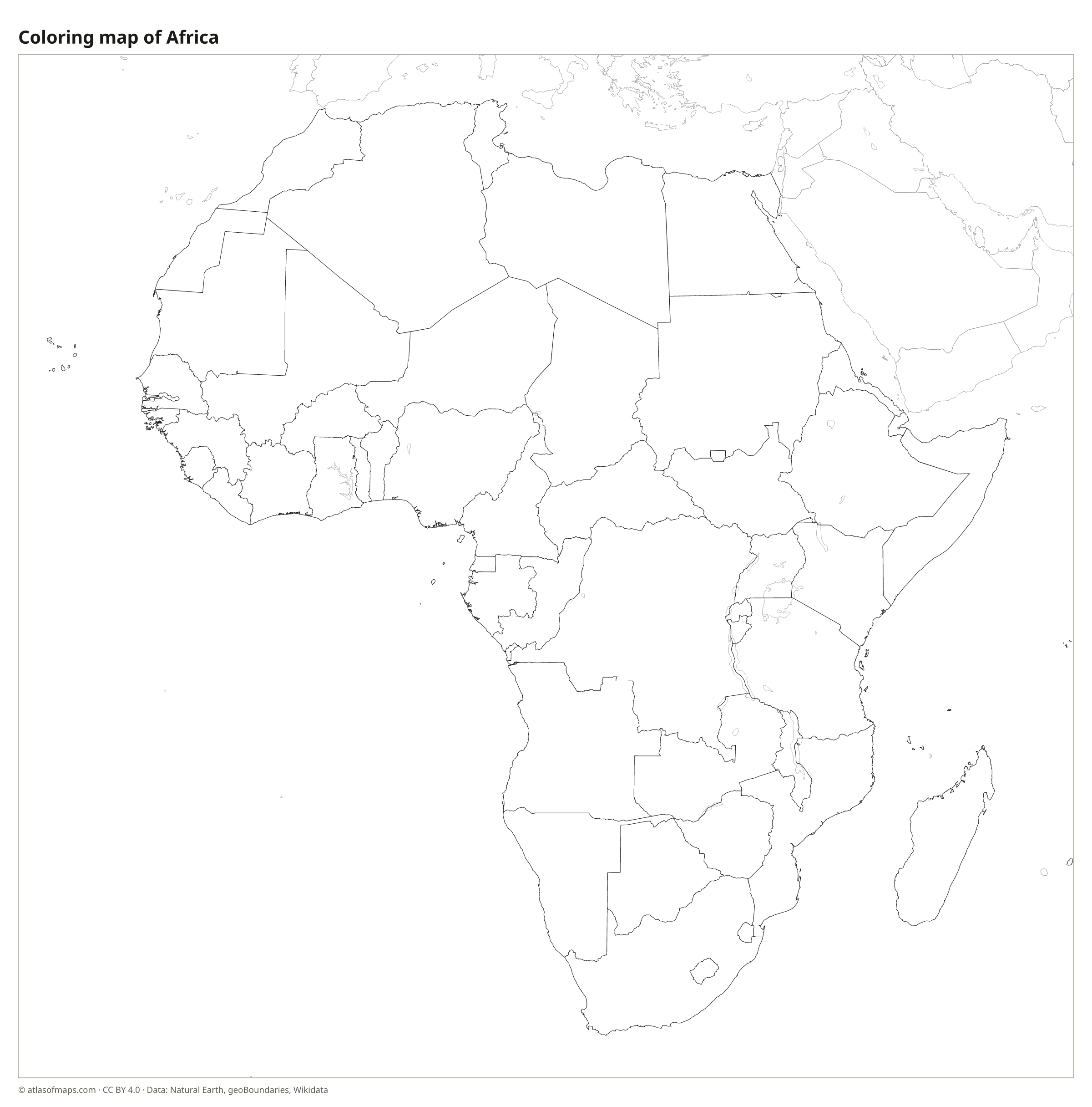
Coloring map of Africa

Countries of Africa and their capitals
List of the countries of Africa sorted by area and population →
| Country | Capital | Population | Area |
|---|---|---|---|
| Algeria | Algiers | 46,164,219 | 2,381,741 km² (919,595 sq mi) |
| Angola | Luanda | 36,749,906 | 1,246,700 km² (481,354 sq mi) |
| Benin | Porto-Novo | 14,111,034 | 114,763 km² (44,310 sq mi) |
| Botswana | Gaborone | 2,480,244 | 581,737 km² (224,610 sq mi) |
| Burkina Faso | Ouagadougou | 23,025,776 | 274,200 km² (105,869 sq mi) |
| Burundi | Gitega | 13,689,450 | 27,834 km² (10,747 sq mi) |
| Cameroon | Yaoundé | 28,372,687 | 475,442 km² (183,569 sq mi) |
| Cape Verde | Praia | 555,988 | 4,033 km² (1,557 sq mi) |
| Central African Republic | Bangui | 5,152,421 | 622,984 km² (240,535 sq mi) |
| Chad | N'Djamena | 19,319,064 | 1,284,000 km² (495,755 sq mi) |
| Comoros | Moroni | 902,348 | 2,034 km² (785 sq mi) |
| Democratic Republic of the Congo | Kinshasa | 105,789,731 | 2,344,858 km² (905,355 sq mi) |
| Djibouti | Djibouti | 1,152,944 | 23,200 km² (8,958 sq mi) |
| Egypt | Cairo | 114,535,772 | 1,010,408 km² (390,121 sq mi) |
| Equatorial Guinea | Ciudad de la Paz | 1,847,549 | 28,051 km² (10,831 sq mi) |
| Eritrea | Asmara | 3,497,000 | 117,600 km² (45,406 sq mi) |
| Eswatini | Lobamba / Mbabane | 1,230,506 | 17,364 km² (6,704 sq mi) |
| Ethiopia | Addis Ababa | 128,691,692 | 1,104,300 km² (426,373 sq mi) |
| Gabon | Libreville | 2,025,137 | 267,667 km² (103,347 sq mi) |
| Gambia | Banjul | 2,639,916 | 11,300 km² (4,363 sq mi) |
| Ghana | Accra | 32,833,031 | 238,535 km² (92,099 sq mi) |
| Guinea | Conakry | 17,521,167 | 245,857 km² (94,926 sq mi) |
| Guinea-Bissau | Bissau | 1,861,283 | 36,125 km² (13,948 sq mi) |
| Ivory Coast | Yamoussoukro | 31,165,654 | 322,463 km² (124,504 sq mi) |
| Kenya | Nairobi | 48,468,138 | 581,309 km² (224,445 sq mi) |
| Lesotho | Maseru | 2,007,201 | 30,355 km² (11,720 sq mi) |
| Liberia | Monrovia | 5,214,030 | 111,369 km² (43,000 sq mi) |
| Libya | Tripoli | 7,381,023 | 1,759,541 km² (679,363 sq mi) |
| Madagascar | Antananarivo | 31,964,956 | 587,295 km² (226,756 sq mi) |
| Malawi | Lilongwe | 17,563,749 | 118,484 km² (45,747 sq mi) |
| Mali | Bamako | 22,395,489 | 1,240,192 km² (478,841 sq mi) |
| Mauritania | Nouakchott | 4,736,139 | 1,030,700 km² (397,955 sq mi) |
| Mauritius | Port Louis | 1,264,613 | 2,040 km² (788 sq mi) |
| Morocco | Rabat | 36,828,330 | 446,550 km² (172,414 sq mi) |
| Mozambique | Maputo | 29,668,834 | 801,590 km² (309,496 sq mi) |
| Namibia | Windhoek | 2,533,794 | 825,615 km² (318,772 sq mi) |
| Niger | Niamey | 21,477,348 | 1,267,000 km² (489,191 sq mi) |
| Nigeria | Abuja | 211,400,708 | 923,768 km² (356,669 sq mi) |
| Republic of the Congo | Brazzaville | 6,142,180 | 342,000 km² (132,047 sq mi) |
| Rwanda | Kigali | 14,569,341 | 26,338 km² (10,169 sq mi) |
| São Tomé and Príncipe | São Tomé | 204,327 | 1,001 km² (386 sq mi) |
| Senegal | Dakar | 16,876,720 | 196,722 km² (75,955 sq mi) |
| Seychelles | Victoria | 119,773 | 459 km² (177 sq mi) |
| Sierra Leone | Freetown | 7,557,212 | 71,740 km² (27,699 sq mi) |
| Somalia | Mogadishu | 11,031,386 | 637,657 km² (246,201 sq mi) |
| South Africa | Pretoria / Bloemfontein / Cape Town | 62,027,503 | 1,221,037 km² (471,445 sq mi) |
| South Sudan | Juba | 12,575,714 | 644,329 km² (248,777 sq mi) |
| Sudan | Khartoum | 40,533,330 | 1,886,068 km² (728,215 sq mi) |
| Tanzania | Dodoma | 57,310,019 | 947,303 km² (365,756 sq mi) |
| Togo | Lomé | 7,797,694 | 56,785 km² (21,925 sq mi) |
| Tunisia | Tunis | 11,565,204 | 163,610 km² (63,170 sq mi) |
| Uganda | Kampala | 47,123,531 | 241,038 km² (93,065 sq mi) |
| Western Sahara (territory) | Laayoune | 612,000 | 266,000 km² (102,703 sq mi) |
| Zambia | Lusaka | 19,610,769 | 752,618 km² (290,587 sq mi) |
| Zimbabwe | Harare | 15,178,979 | 390,757 km² (150,872 sq mi) |
Territories: Western Sahara.
Flags of Africa
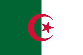 Algeria
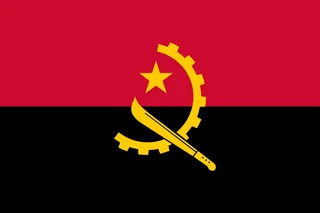 Angola
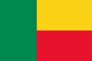 Benin
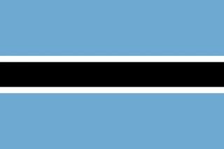 Botswana
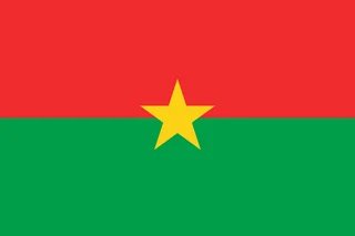 Burkina Faso
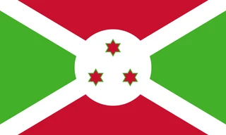 Burundi
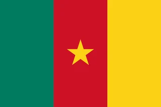 Cameroon
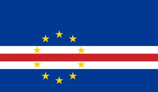 Cape Verde
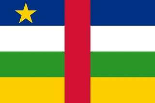 Central African Republic
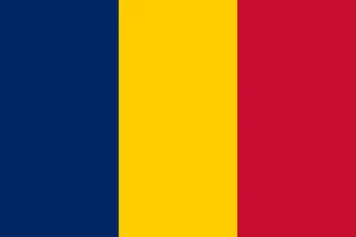 Chad
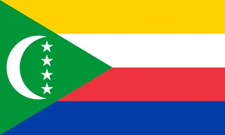 Comoros
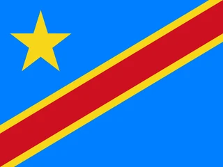 Democratic Republic of the Congo
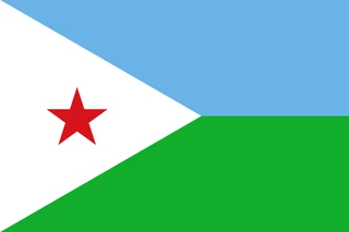 Djibouti
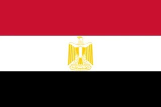 Egypt
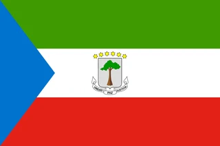 Equatorial Guinea
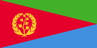 Eritrea
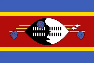 Eswatini
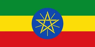 Ethiopia
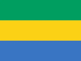 Gabon
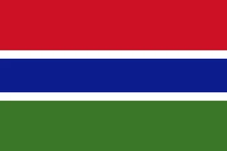 Gambia
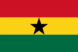 Ghana
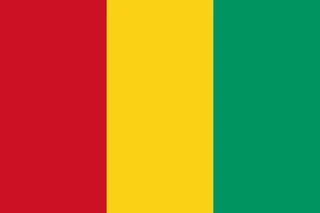 Guinea
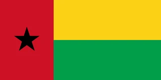 Guinea-Bissau
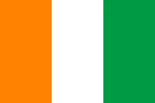 Ivory Coast
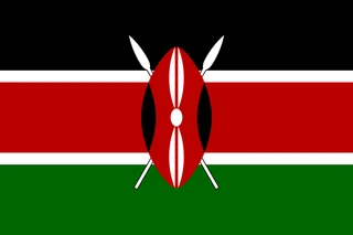 Kenya
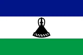 Lesotho
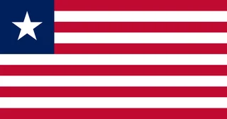 Liberia
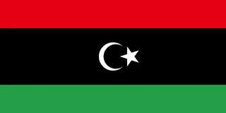 Libya
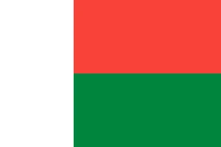 Madagascar
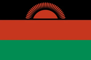 Malawi
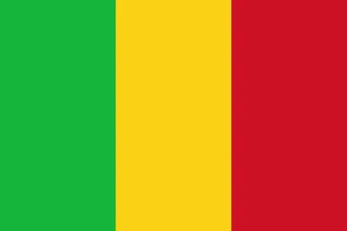 Mali
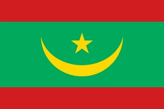 Mauritania
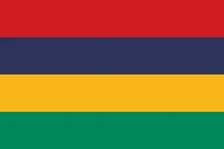 Mauritius
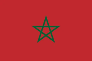 Morocco
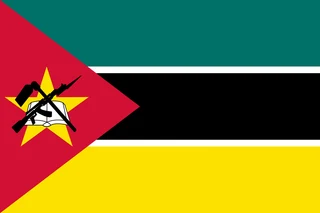 Mozambique
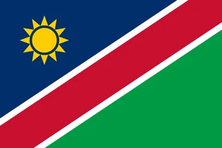 Namibia
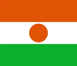 Niger
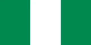 Nigeria
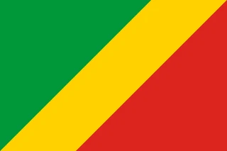 Republic of the Congo
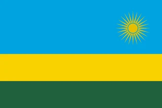 Rwanda
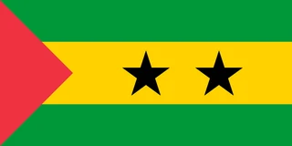 São Tomé and Príncipe
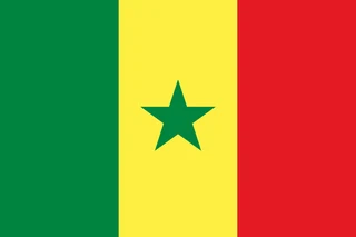 Senegal
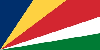 Seychelles
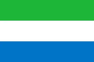 Sierra Leone
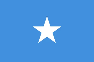 Somalia
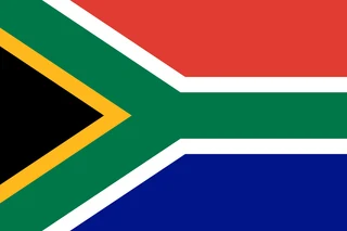 South Africa
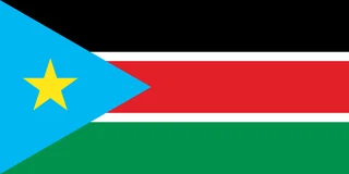 South Sudan
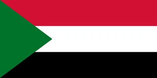 Sudan
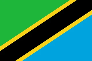 Tanzania
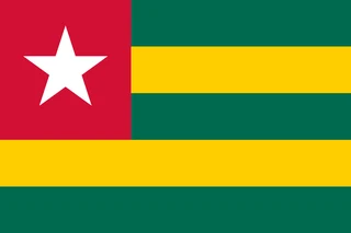 Togo
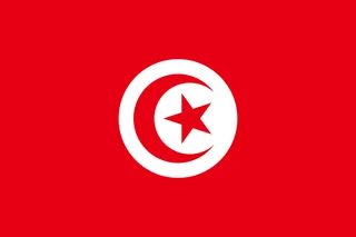 Tunisia
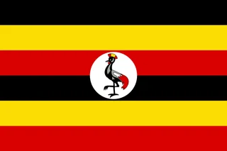 Uganda
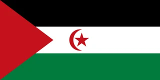 Western Sahara
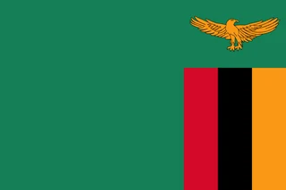 Zambia
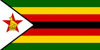 Zimbabwe
Frequently asked questions
How many countries are in Africa?
Africa has 54 countries, more than any other continent. The map also shows Western Sahara separately, a territory whose status is disputed between Morocco and the Polisario Front.
What is the largest country in Africa?
Algeria is the largest country in Africa, covering about 2.38 million km² (919,595 sq mi), most of it in the Sahara. The Democratic Republic of the Congo and Sudan come next.
What is the smallest country in Africa?
Seychelles, an island nation in the Indian Ocean, is the smallest at 459 km² (177 sq mi). On the African mainland, Gambia is the smallest country, at 11,300 km² (4,363 sq mi).
What is the most populous country in Africa?
Nigeria, with about 211.4 million people.
Where can I download a printable map of Africa?
On this page: the political map, the blank map and the coloring map can be downloaded for free as PNG and PDF.
Use this map
You can download, print and share this map for free, in class, in school projects, in presentations and on websites, as long as you credit the source: Map of Africa · Atlas of Maps (atlasofmaps.com), license CC BY 4.0.
More maps: Map of Europe · Map of Asia · Map of Oceania · Map of North America · Map of South America · Map of Central America · Map of the Caribbean · Map of the Middle East · Map of the European Union · Map of Latin America · Map of Southeast Asia · World map