Map of India with states and union territories and capitals
India is a country in South Asia that occupies most of the Indian subcontinent. It borders Pakistan, China, Nepal, Bhutan, Bangladesh and Myanmar, and its peninsula is washed by the Arabian Sea to the west, the Bay of Bengal to the east and the Indian Ocean to the south. The political map shows its 28 states and 8 union territories, the capital, New Delhi, and major cities.
The map shows India's official boundaries, including all of Jammu and Kashmir, Ladakh and Aksai Chin. Parts of Kashmir are administered by Pakistan and China.

- Capital
- New Delhi
- Population
- 1.3 billion (2020)
- Area
- 3,287,263 km² (1,269,219 sq mi)
- Population density
- 403 per km² (1,045 per sq mi)
- Official languages
- Hindi and English
- Currency
- Indian rupee
- Demonym
- Indian
- Divisions
- 28 states and 8 union territories
- Highest point
- Kanchenjunga (8,586 m (28,169 ft))
- Calling code
- +91
- Internet domain
- .in
- Official name
- Republic of India
Where is India?
India is a country in South Asia that occupies most of the Indian subcontinent. It borders Pakistan, China, Nepal, Bhutan, Bangladesh and Myanmar, and its peninsula is washed by the Arabian Sea to the west, the Bay of Bengal to the east and the Indian Ocean to the south.
Neighboring countries: Bangladesh, Bhutan, China, Myanmar, Nepal, Pakistan.

States and Union Territories of India and their capitals
India is divided into 28 states and 8 union territories, including Delhi, home to the capital, New Delhi. The map follows India's official boundaries, showing all of Jammu and Kashmir, Ladakh and Aksai Chin; parts of Kashmir are administered by Pakistan and China.
| State | Capital | Population | Area |
|---|---|---|---|
| Andaman and Nicobar Islands | Srivijayapuram | 356,152 | 8,249 km² (3,185 sq mi) |
| Andhra Pradesh | Amaravati | 53,586,000 | 162,970 km² (62,923 sq mi) |
| Arunachal Pradesh | Itanagar | 1,382,611 | 83,743 km² (32,333 sq mi) |
| Assam | Dispur | 31,205,576 | 78,438 km² (30,285 sq mi) |
| Bihar | Patna | 103,804,637 | 94,163 km² (36,357 sq mi) |
| Chandigarh | — | 1,055,450 | 114 km² (44 sq mi) |
| Chhattisgarh | Raipur | 29,436,231 | 135,194 km² (52,199 sq mi) |
| Dadra and Nagar Haveli and Daman and Diu | Daman | 585,764 | 603 km² (233 sq mi) |
| Delhi | — | 26,495,000 | 1,397 km² (539 sq mi) |
| Goa | Panaji | 1,458,545 | 3,702 km² (1,429 sq mi) |
| Gujarat | Gandhinagar | 60,383,628 | 196,024 km² (75,685 sq mi) |
| Haryana | Chandigarh | 27,761,063 | 44,212 km² (17,070 sq mi) |
| Himachal Pradesh | Shimla | 6,864,602 | 55,780 km² (21,537 sq mi) |
| Jammu and Kashmir | Srinagar | 12,258,433 | 42,241 km² (16,309 sq mi) |
| Jharkhand | Ranchi | 32,988,134 | 79,714 km² (30,778 sq mi) |
| Karnataka | Bengaluru | 61,130,704 | 191,791 km² (74,051 sq mi) |
| Kerala | Thiruvananthapuram | 34,523,726 | 38,863 km² (15,005 sq mi) |
| Ladakh | Leh | 274,289 | 59,196 km² (22,856 sq mi) |
| Lakshadweep | Kavaratti | 64,429 | 32 km² (12 sq mi) |
| Madhya Pradesh | Bhopal | 72,597,565 | 308,245 km² (119,014 sq mi) |
| Maharashtra | Mumbai | 112,372,972 | 307,713 km² (118,809 sq mi) |
| Manipur | Imphal | 2,855,794 | 22,327 km² (8,621 sq mi) |
| Meghalaya | Shillong | 3,211,000 | 22,429 km² (8,660 sq mi) |
| Mizoram | Aizawl | 1,097,206 | 21,081 km² (8,139 sq mi) |
| Nagaland | Kohima | 1,978,502 | 16,579 km² (6,401 sq mi) |
| Odisha | Bhubaneswar | 41,974,218 | 155,707 km² (60,119 sq mi) |
| Puducherry | Pondicherry | 1,394,467 | 492 km² (190 sq mi) |
| Punjab | Chandigarh | 27,743,338 | 50,362 km² (19,445 sq mi) |
| Rajasthan | Jaipur | 68,548,437 | 342,269 km² (132,151 sq mi) |
| Sikkim | Gangtok | 657,876 | 7,096 km² (2,740 sq mi) |
| Tamil Nadu | Chennai | 72,147,030 | 130,058 km² (50,216 sq mi) |
| Telangana | Hyderabad | 35,193,978 | 112,077 km² (43,273 sq mi) |
| Tripura | Agartala | 3,673,917 | 10,486 km² (4,049 sq mi) |
| Uttar Pradesh | Lucknow | 246,270,000 | 243,290 km² (93,935 sq mi) |
| Uttarakhand | Dehradun | 10,086,292 | 53,566 km² (20,682 sq mi) |
| West Bengal | Kolkata | 91,276,115 | 88,752 km² (34,267 sq mi) |
Population from Wikidata (latest figure available for each state).
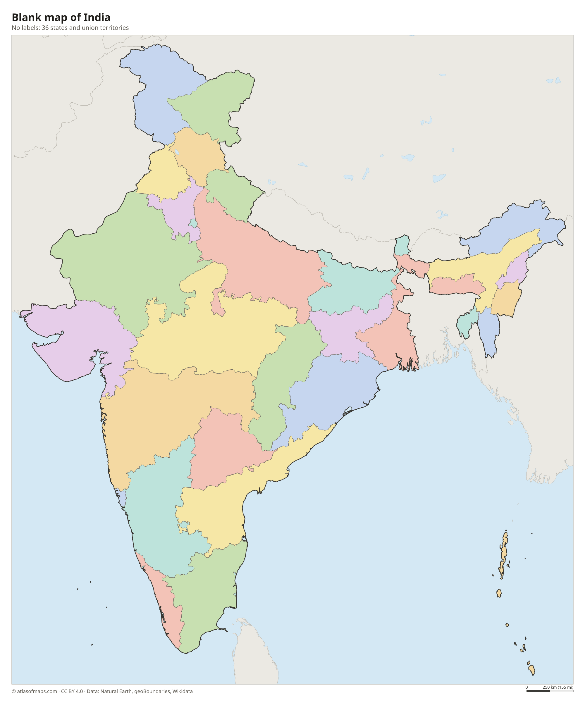
Blank and coloring maps of India
Blank map of India

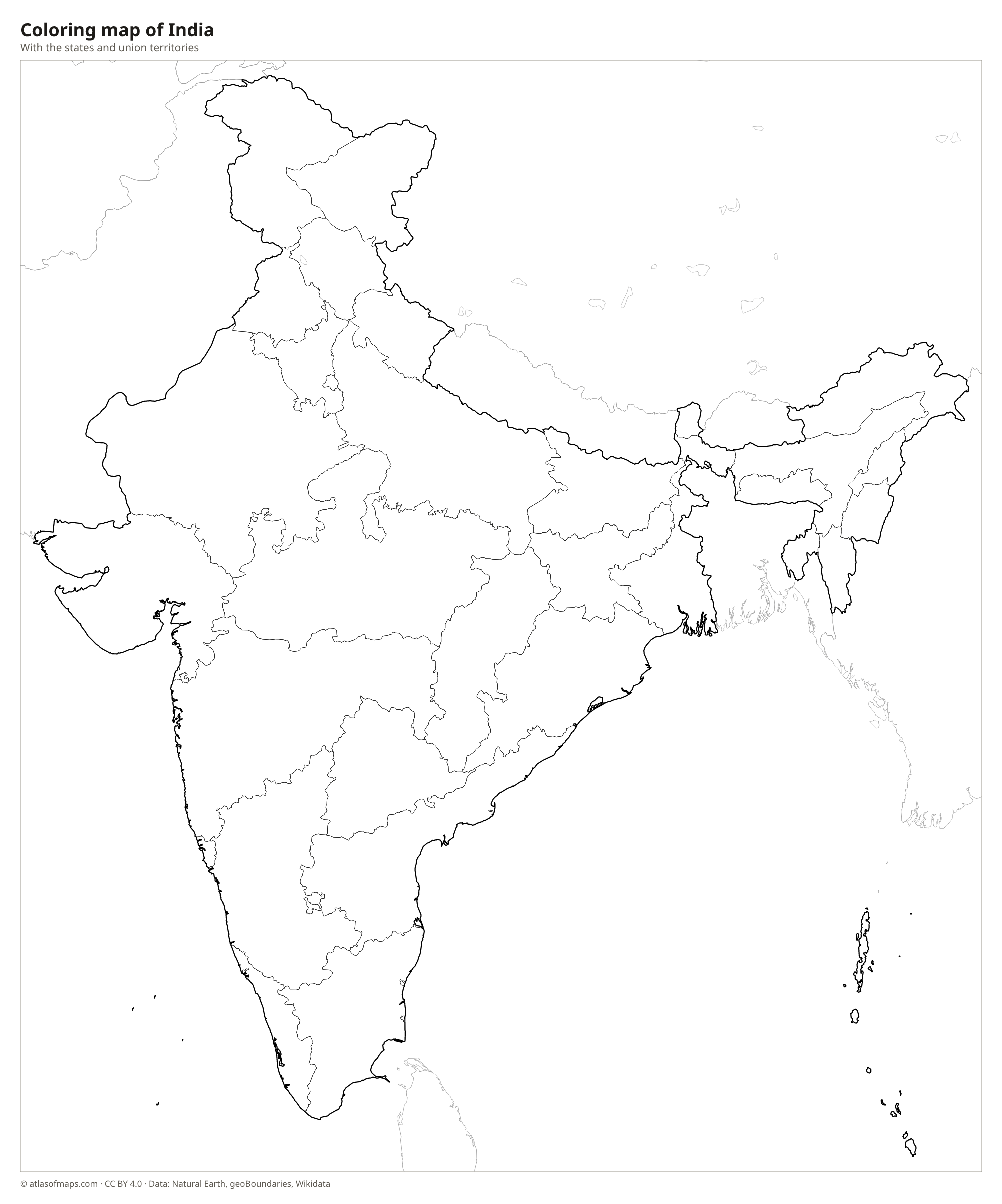
Coloring map of India

Geography of India
India covers 3,287,263 km² (1,269,219 sq mi), and its landscapes range from icy peaks to tropical beaches. The Himalayas arc along the northern border; Kanchenjunga, on the border with Nepal in Sikkim, is the highest peak at 8,586 m (28,169 ft). South of the mountains stretches the Indo-Gangetic Plain, a vast and densely populated farming region. The Thar Desert covers much of Rajasthan in the west, while the triangular Deccan Plateau fills the peninsula, framed by the Western Ghats, the Eastern Ghats and narrow coastal plains.
Great rivers flow from the Himalayas, including the Ganges (Ganga) and its tributary the Yamuna, the Brahmaputra in the northeast and the Indus in Ladakh. On the peninsula, the Godavari, Krishna and Kaveri flow east to the Bay of Bengal, while the Narmada flows west to the Arabian Sea. Where the Ganges and Brahmaputra reach the sea, the Sundarbans, shared with Bangladesh, form the largest mangrove forest in the world. The climate is shaped by the monsoon, which brings heavy rain from about June to September.
Fun facts
- The Tropic of Cancer crosses India, passing through states from Gujarat in the west to Mizoram in the east.
- Mawsynram and Cherrapunji in Meghalaya are among the wettest places on Earth.
- At Kanyakumari, the southern tip of the mainland, the Arabian Sea, the Indian Ocean and the Bay of Bengal meet.
Flag of India
India's flag, called the Tiranga, has three equal horizontal stripes: saffron on top, white in the middle and green at the bottom. In the center of the white stripe is a navy blue wheel with 24 spokes, the Ashoka Chakra. The flag has a 2:3 ratio.
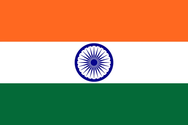
Countries bordering India
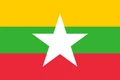
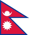
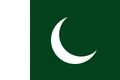
Frequently asked questions
What countries border India?
India shares land borders with Pakistan to the northwest, China, Nepal and Bhutan to the north, and Bangladesh and Myanmar to the east. Sri Lanka and the Maldives are island neighbors across the sea.
How many states and union territories does India have?
India has 28 states and 8 union territories. States such as Maharashtra and Kerala have their own elected governments, while union territories such as Ladakh and Lakshadweep are run more directly by the central government.
What is the largest state in India?
Rajasthan, in the northwest, is the largest state of India by area and includes much of the Thar Desert. Uttar Pradesh, in the north, is the largest by population.
What is the capital of India?
The capital of India is New Delhi.
What language is spoken in India?
The official languages are Hindi and English.
Can I print the map of India?
Yes. Every map on this page can be downloaded for free as PNG or PDF (US Letter) and printed, including the blank map and the coloring map. Please credit the source (Atlas of Maps, CC BY 4.0).
Use this map
You can download, print and share this map for free, in class, in school projects, in presentations and on websites, as long as you credit the source: Map of India · Atlas of Maps (atlasofmaps.com), license CC BY 4.0.
See also: Map of Asia · World map