Map of Malaysia with states and capitals
Malaysia is a country in Southeast Asia made up of two parts separated by the South China Sea. Peninsular Malaysia borders Thailand to the north, while East Malaysia, on the island of Borneo, borders Indonesia and almost surrounds Brunei. The political map shows its 16 states, the capital, Kuala Lumpur, and major cities.

- Capital
- Kuala Lumpur
- Population
- 34.2 million (2025)
- Area
- 330,803 km² (127,724 sq mi)
- Population density
- 103 per km² (268 per sq mi)
- Official language
- Malay
- Currency
- Malaysian ringgit
- Demonym
- Malaysian
- States
- 16
- Highest point
- Mount Kinabalu (4,095 m (13,435 ft))
- Calling code
- +60
- Internet domain
- .my
Where is Malaysia?
Malaysia is a country in Southeast Asia made up of two parts separated by the South China Sea. Peninsular Malaysia borders Thailand to the north, while East Malaysia, on the island of Borneo, borders Indonesia and almost surrounds Brunei.

States of Malaysia and their capitals
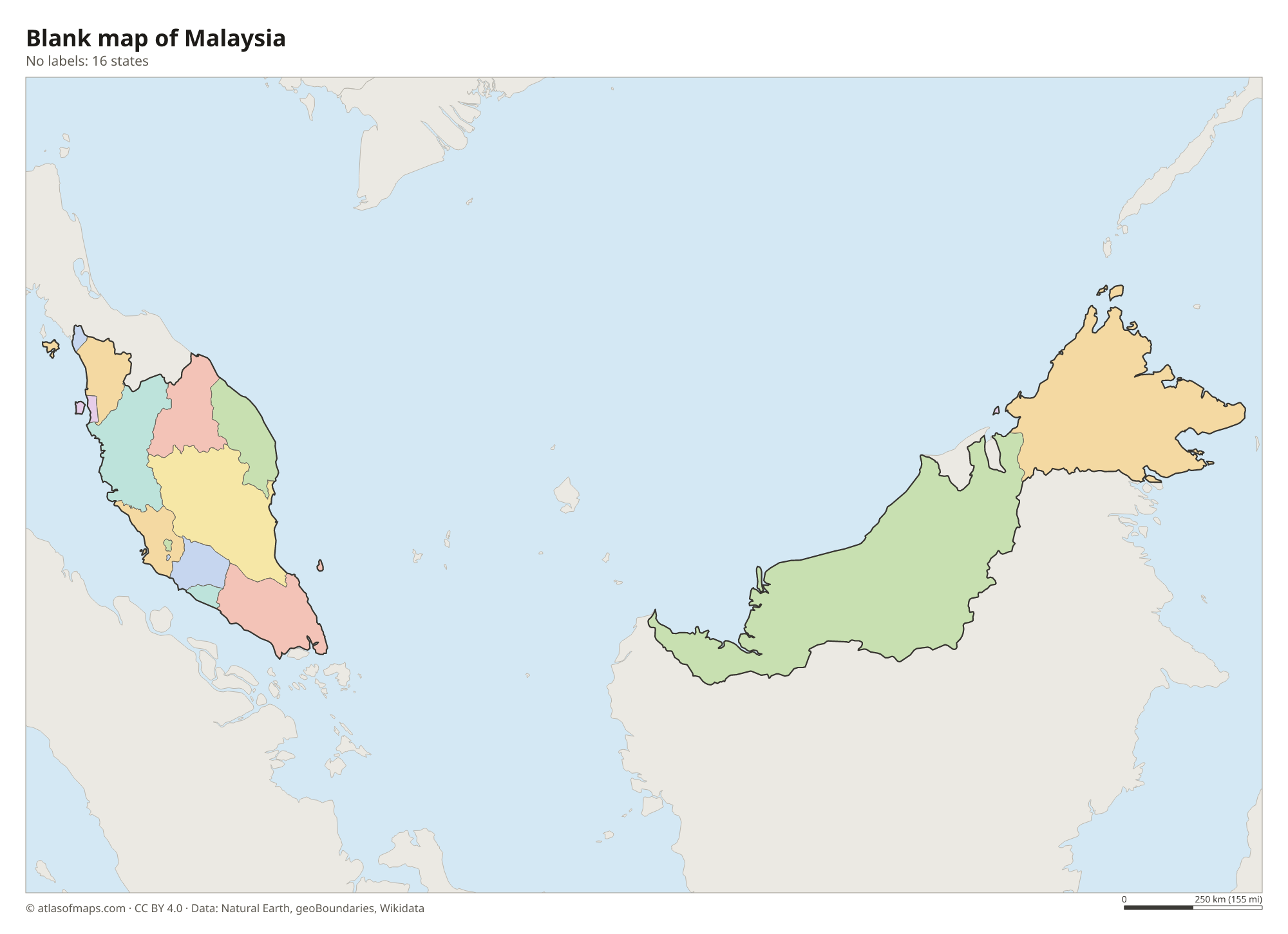
Malaysia is a federation of 13 states and 3 federal territories (Kuala Lumpur, Putrajaya and Labuan), the 16 units shown on the map. Eleven states are on the peninsula, while Sabah and Sarawak are on Borneo, along with the island territory of Labuan.
| State | Capital | Population | Area |
|---|---|---|---|
| Johor | Johor Bahru | 3,348,283 | 19,210 km² (7,417 sq mi) |
| Kedah | Alor Setar | 2,131,400 | 9,427 km² (3,640 sq mi) |
| Kelantan | Kota Bharu | 1,792,500 | 15,099 km² (5,830 sq mi) |
| Kuala Lumpur | Kuala Lumpur | 9,000,280 | 244 km² (94 sq mi) |
| Labuan | Victoria | 95,100 | 92 km² (36 sq mi) |
| Melaka | Malacca | 998,400 | 1,720 km² (664 sq mi) |
| Negeri Sembilan | Seremban | 997,071 | 6,686 km² (2,581 sq mi) |
| Pahang | Kuantan | 1,443,365 | 35,964 km² (13,886 sq mi) |
| Penang | George Town | 1,740,400 | 1,031 km² (398 sq mi) |
| Perak | Ipoh | 2,258,428 | 21,035 km² (8,122 sq mi) |
| Perlis | Kangar | 251,500 | 821 km² (317 sq mi) |
| Putrajaya | — | 109,202 | 49 km² (19 sq mi) |
| Sabah | Kota Kinabalu | 3,418,785 | 76,115 km² (29,388 sq mi) |
| Sarawak | Kuching | 2,453,700 | 124,450 km² (48,050 sq mi) |
| Selangor | Shah Alam | 5,411,324 | 8,104 km² (3,129 sq mi) |
| Terengganu | Kuala Terengganu | 1,015,776 | 12,955 km² (5,002 sq mi) |
Population from Wikidata (latest figure available for each state).
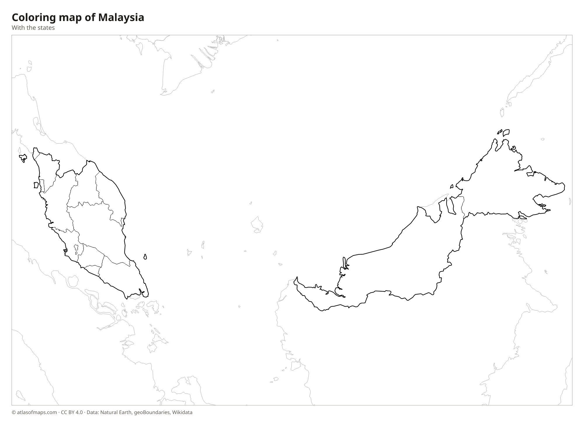
Blank and coloring maps of Malaysia
Blank map of Malaysia

Coloring map of Malaysia

Geography of Malaysia
Malaysia covers 330,803 km² (127,724 sq mi), split between the Malay Peninsula and northern Borneo. The peninsula has a forested mountain spine, the Titiwangsa Mountains, with coastal plains on both sides; Kuala Lumpur lies on the western side. East Malaysia, made up of Sabah and Sarawak, is larger and more rugged, with dense rainforest, swamps and limestone caves. In Sabah, the granite peak of Mount Kinabalu rises to 4,095 m (13,435 ft) in the Crocker Range, the highest point in the country.
The Strait of Malacca, one of the world's busiest shipping lanes, separates the peninsula from the Indonesian island of Sumatra. The Rajang in Sarawak is the longest river in Malaysia, and the Pahang is the longest on the peninsula. Sarawak's Gunung Mulu National Park contains some of the largest caves known. The climate is hot and humid all year, with heavy rain brought by the northeast monsoon from about November to March and the southwest monsoon in the middle of the year.
Fun facts
- Mount Kinabalu is the highest mountain between the Himalayas and New Guinea.
- Tanjung Piai, in the state of Johor, is the southernmost point of mainland Asia.
- Kuala Lumpur is the capital, but most federal government offices have moved to Putrajaya, a planned city to its south.
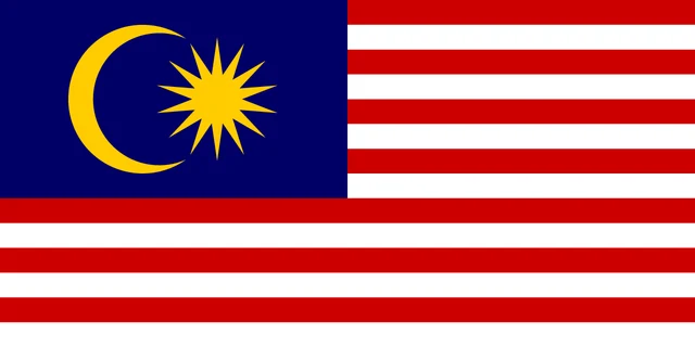
Flag of Malaysia
The flag of Malaysia, called the Jalur Gemilang ("Stripes of Glory"), has 14 horizontal stripes of red and white of equal width. A dark blue rectangle in the upper hoist corner holds a yellow crescent and a yellow 14-pointed star. The flag is twice as long as it is tall.
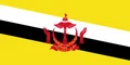
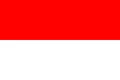
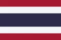
Countries bordering Malaysia
Frequently asked questions
What countries border Malaysia?
Malaysia has land borders with Thailand on the peninsula, and with Indonesia and Brunei on Borneo. Singapore, linked by a causeway and a bridge, and the Philippines are close neighbors by sea.
How many states does Malaysia have?
Malaysia has 13 states and 3 federal territories, 16 units in total. The federal territories are Kuala Lumpur, Putrajaya and the island of Labuan off the coast of Sabah.
What is the capital of Malaysia?
Kuala Lumpur is the capital and largest city of Malaysia. Many government offices are in Putrajaya, a planned administrative city south of Kuala Lumpur.
What language is spoken in Malaysia?
The official language is Malay.
Can I print the map of Malaysia?
Yes. Every map on this page can be downloaded for free as PNG or PDF (US Letter) and printed, including the blank map and the coloring map. Please credit the source (Atlas of Maps, CC BY 4.0).
Use this map
You can download, print and share this map for free, in class, in school projects, in presentations and on websites, as long as you credit the source: Map of Malaysia · Atlas of Maps (atlasofmaps.com), license CC BY 4.0.
See also: Map of Asia · Map of Southeast Asia · World map