Map of Turkey with provinces and capitals
Turkey (Türkiye) is a country that spans two continents: most of it lies on the Anatolian peninsula in Western Asia, and a small part, East Thrace, lies in southeastern Europe. It borders eight countries and has coasts on the Black, Aegean and Mediterranean seas. The political map shows its 81 provinces, the capital, Ankara, and major cities.

- Capital
- Ankara
- Population
- 85.4 million (2023)
- Area
- 783,562 km² (302,535 sq mi)
- Population density
- 109 per km² (282 per sq mi)
- Official language
- Turkish
- Currency
- Turkish lira
- Demonym
- Turkish
- Provinces
- 81
- Highest point
- Mount Ararat (5,137 m (16,854 ft))
- Calling code
- +90
- Internet domain
- .tr
- Also known as
- Türkiye
Where is Turkey?
Turkey (Türkiye) is a country that spans two continents: most of it lies on the Anatolian peninsula in Western Asia, and a small part, East Thrace, lies in southeastern Europe. It borders eight countries and has coasts on the Black, Aegean and Mediterranean seas.
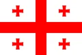
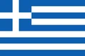
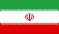
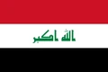
Neighboring countries: Armenia, Azerbaijan, Bulgaria, Georgia, Greece, Iran, Iraq, Syria.

Provinces of Turkey and their capitals
Turkey is divided into 81 provinces (il), each named after its capital city. Ankara Province contains the national capital, Konya is the largest province by area, and Istanbul, which straddles the Bosporus, is by far the most populous.
| Province | Capital | Population | Area |
|---|---|---|---|
| Adana | Adana | 2,059,893 | 13,844 km² (5,345 sq mi) |
| Adıyaman | Adıyaman | 632,148 | 7,337 km² (2,833 sq mi) |
| Afyonkarahisar | Afyonkarahisar | 709,015 | 14,016 km² (5,412 sq mi) |
| Ağrı | Ağrı | 454,387 | 11,099 km² (4,285 sq mi) |
| Aksaray | Aksaray | 429,069 | 7,659 km² (2,957 sq mi) |
| Amasya | Amasya | 313,693 | 5,628 km² (2,173 sq mi) |
| Ankara | Ankara | 5,317,215 | 25,632 km² (9,897 sq mi) |
| Antalya | Antalya | 2,418,651 | 20,177 km² (7,790 sq mi) |
| Ardahan | Ardahan | 87,748 | 4,934 km² (1,905 sq mi) |
| Artvin | Artvin | 174,010 | 7,393 km² (2,854 sq mi) |
| Aydın | Aydın | 1,054,769 | 8,116 km² (3,134 sq mi) |
| Balıkesir | Balıkesir | 1,175,324 | 14,583 km² (5,631 sq mi) |
| Bartın | Bartın | 190,324 | 2,330 km² (900 sq mi) |
| Batman | Batman | 545,792 | 4,477 km² (1,729 sq mi) |
| Bayburt | Bayburt | 78,777 | 3,746 km² (1,446 sq mi) |
| Bilecik | Bilecik | 212,486 | 4,179 km² (1,614 sq mi) |
| Bingöl | — | 253,359 | 8,003 km² (3,090 sq mi) |
| Bitlis | Bitlis | 307,483 | 8,294 km² (3,202 sq mi) |
| Bolu | Bolu | 299,413 | 8,313 km² (3,210 sq mi) |
| Burdur | Burdur | 257,183 | 7,175 km² (2,770 sq mi) |
| Bursa | Bursa | 2,894,954 | 10,813 km² (4,175 sq mi) |
| Çanakkale | Çanakkale | 524,498 | 9,817 km² (3,790 sq mi) |
| Çankırı | Çankırı | 183,068 | 7,542 km² (2,912 sq mi) |
| Çorum | Çorum | 491,031 | 12,428 km² (4,798 sq mi) |
| Denizli | Denizli | 975,566 | 12,134 km² (4,685 sq mi) |
| Diyarbakır | Diyarbakır | 1,557,143 | 15,101 km² (5,831 sq mi) |
| Düzce | Düzce | 369,674 | 2,492 km² (962 sq mi) |
| Edirne | Edirne | 389,114 | 6,145 km² (2,373 sq mi) |
| Elazığ | Elazığ | 541,103 | 9,383 km² (3,623 sq mi) |
| Erzincan | Erzincan | 219,866 | 11,815 km² (4,562 sq mi) |
| Erzurum | Erzurum | 683,823 | 25,006 km² (9,655 sq mi) |
| Eskişehir | Eskişehir | 915,418 | 13,960 km² (5,390 sq mi) |
| Gaziantep | Gaziantep | 2,164,134 | 6,803 km² (2,627 sq mi) |
| Giresun | Giresun | 424,106 | 6,972 km² (2,692 sq mi) |
| Gümüşhane | Gümüşhane | 140,192 | 6,668 km² (2,575 sq mi) |
| Hakkâri | Hakkâri | 247,997 | 7,095 km² (2,739 sq mi) |
| Hatay | Antakya | 1,501,571 | 5,524 km² (2,133 sq mi) |
| Iğdır | Iğdır | 180,544 | 3,664 km² (1,415 sq mi) |
| Isparta | Isparta | 416,157 | 8,946 km² (3,454 sq mi) |
| Istanbul | Istanbul | 15,655,924 | 5,461 km² (2,109 sq mi) |
| İzmir | İzmir | 4,126,820 | 11,891 km² (4,591 sq mi) |
| Kahramanmaraş | Kahramanmaraş | 1,056,425 | 14,520 km² (5,606 sq mi) |
| Karabük | Karabük | 234,826 | 4,142 km² (1,599 sq mi) |
| Karaman | Karaman | 237,847 | 8,678 km² (3,351 sq mi) |
| Kars | Kars | 253,403 | 10,193 km² (3,936 sq mi) |
| Kastamonu | Kastamonu | 354,122 | 13,064 km² (5,044 sq mi) |
| Kayseri | Kayseri | 1,389,680 | 16,970 km² (6,552 sq mi) |
| Kilis | Kilis | 129,263 | 1,412 km² (545 sq mi) |
| Kırıkkale | Kırıkkale | 257,654 | 4,791 km² (1,850 sq mi) |
| Kırklareli | Kırklareli | 344,825 | 6,459 km² (2,494 sq mi) |
| Kırşehir | Kırşehir | 225,754 | 6,584 km² (2,542 sq mi) |
| Kocaeli | İzmit | 1,851,790 | 3,397 km² (1,312 sq mi) |
| Konya | Konya | 2,296,347 | 40,838 km² (15,768 sq mi) |
| Kütahya | Kütahya | 577,941 | 11,634 km² (4,492 sq mi) |
| Malatya | Malatya | 743,558 | 12,259 km² (4,733 sq mi) |
| Manisa | Manisa | 1,347,352 | 13,339 km² (5,150 sq mi) |
| Mardin | Mardin | 829,195 | 8,780 km² (3,390 sq mi) |
| Mersin | Mersin | 1,733,188 | 16,010 km² (6,181 sq mi) |
| Muğla | Muğla | 1,021,141 | 12,654 km² (4,886 sq mi) |
| Muş | Muş | 351,802 | 8,718 km² (3,366 sq mi) |
| Nevşehir | Nevşehir | 298,339 | 5,485 km² (2,118 sq mi) |
| Niğde | Niğde | 364,707 | 7,234 km² (2,793 sq mi) |
| Ordu | Ordu | 710,463 | 5,914 km² (2,283 sq mi) |
| Osmaniye | Osmaniye | 502,018 | 3,320 km² (1,282 sq mi) |
| Rize | Rize | 348,608 | 3,835 km² (1,481 sq mi) |
| Sakarya | Adapazarı | 973,995 | 4,824 km² (1,863 sq mi) |
| Samsun | Samsun | 1,274,554 | 9,725 km² (3,755 sq mi) |
| Şanlıurfa | Şanlıurfa | 1,789,868 | 19,242 km² (7,429 sq mi) |
| Siirt | Siirt | 288,138 | 5,717 km² (2,207 sq mi) |
| Sinop | Sinop | 229,716 | 5,717 km² (2,207 sq mi) |
| Sivas | Sivas | 634,924 | 28,164 km² (10,874 sq mi) |
| Şırnak | Şırnak | 467,810 | 7,078 km² (2,733 sq mi) |
| Tekirdağ | Tekirdağ | 1,167,059 | 6,190 km² (2,390 sq mi) |
| Tokat | Tokat | 562,116 | 10,042 km² (3,877 sq mi) |
| Trabzon | Trabzon | 757,629 | 4,628 km² (1,787 sq mi) |
| Tunceli | Tunceli | 78,056 | 7,582 km² (2,927 sq mi) |
| Uşak | Uşak | 348,239 | 5,555 km² (2,145 sq mi) |
| Van | Van | 994,436 | 20,921 km² (8,078 sq mi) |
| Yalova | Yalova | 269,342 | 798 km² (308 sq mi) |
| Yozgat | Yozgat | 420,699 | 13,690 km² (5,286 sq mi) |
| Zonguldak | Zonguldak | 556,326 | 3,342 km² (1,290 sq mi) |
Population from Wikidata (latest figure available for each province).
Blank and coloring maps of Turkey
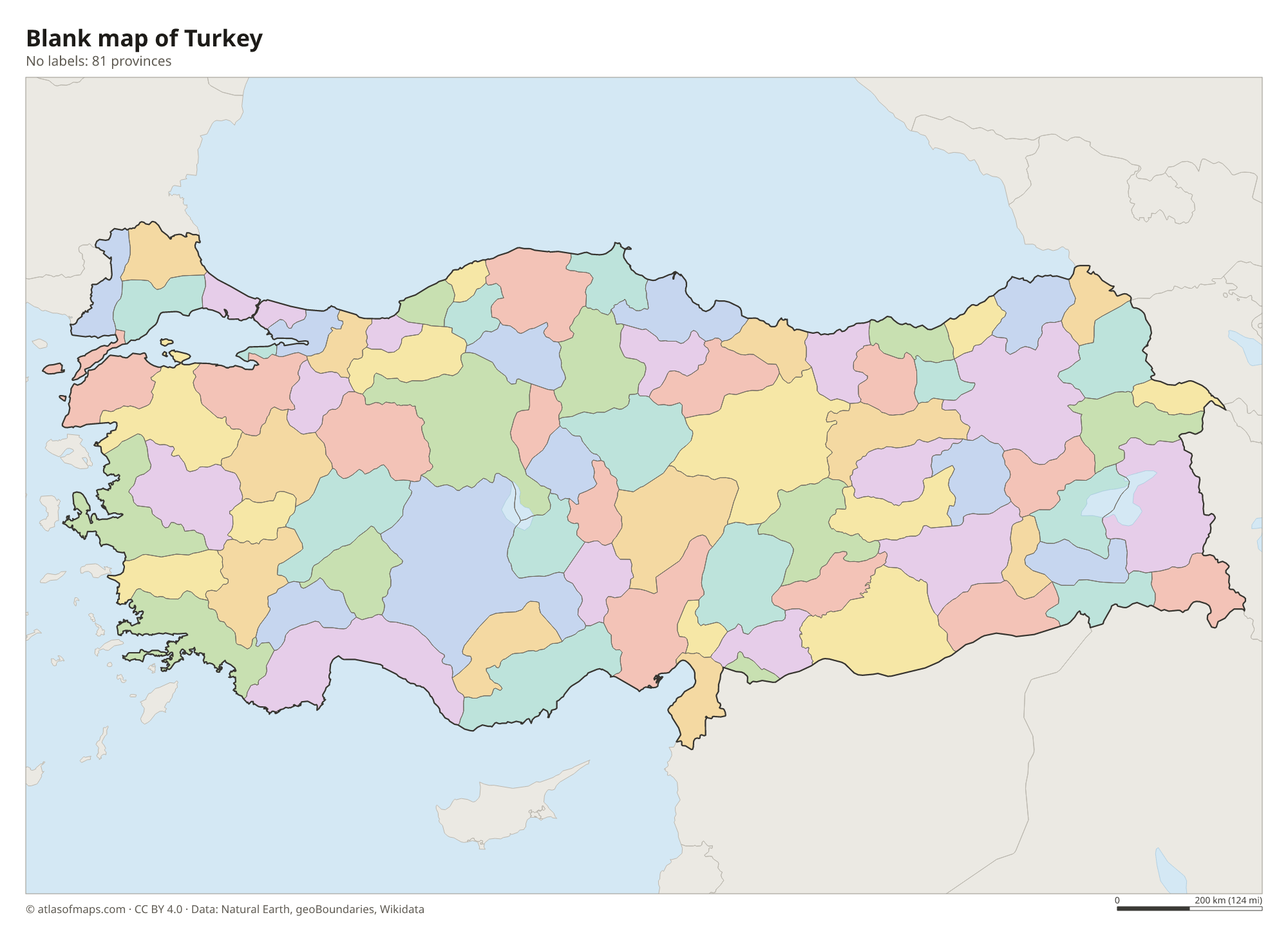
Blank map of Turkey

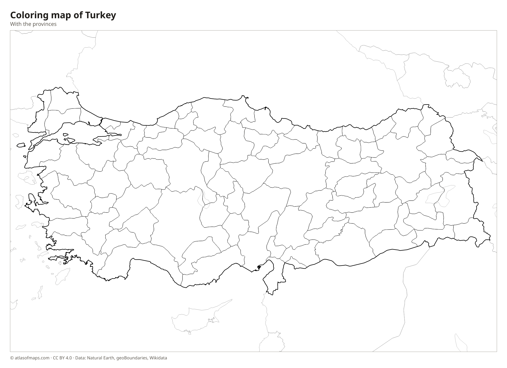
Coloring map of Turkey

Geography of Turkey
Turkey covers about 783,562 km² (302,535 sq mi). Its heart is the Anatolian Plateau, a high, dry region of steppe and farmland ringed by mountains. The Pontic Mountains run along the Black Sea coast in the north, and the Taurus Mountains follow the Mediterranean coast in the south. In the east the land rises into rugged highlands, where Mount Ararat, a volcano near the borders with Iran and Armenia, reaches 5,137 m (16,854 ft). Ancient volcanic ash also shaped Cappadocia in central Anatolia, known for its rock towers and cave dwellings.
The Bosporus, the Sea of Marmara and the Dardanelles link the Black Sea with the Aegean and separate the European and Asian parts of the country. The Tigris and the Euphrates both rise in the eastern highlands before flowing south toward Syria and Iraq, and the Kızılırmak is the longest river entirely within Turkey. Lake Van, in the east, is the largest lake. The coasts have a Mediterranean climate with hot, dry summers, the Black Sea coast is mild and rainy, and the interior has hot summers and cold, snowy winters.
Fun facts
- Istanbul is one of the few major cities in the world that lies on two continents, divided by the Bosporus.
- Lake Van is a salty soda lake with no outlet, set high in the mountains of eastern Turkey.
- Pamukkale in the southwest has white terraces of mineral deposits built up by hot springs.
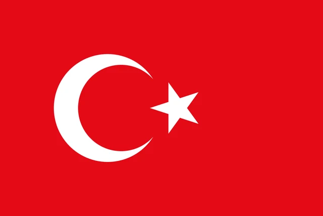
Flag of Turkey
The flag of Turkey is red with a white crescent and a white five-pointed star. The crescent sits slightly toward the hoist, with its open side facing the fly, and the star stands just beyond the opening of the crescent. There are no other symbols or stripes on the flag.
Countries bordering Turkey
Frequently asked questions
Is Turkey in Europe or Asia?
Turkey is in both. About 97 percent of its territory, Anatolia, is in Asia, and the rest, East Thrace around Edirne and the western part of Istanbul, is in Europe.
What countries border Turkey?
Turkey borders eight countries: Greece and Bulgaria in Europe, and Georgia, Armenia, Azerbaijan, Iran, Iraq and Syria in Asia. The border with Azerbaijan is a short stretch along its Nakhchivan exclave.
How many provinces does Turkey have?
Turkey has 81 provinces. Each province takes the name of its capital city, such as Ankara, Istanbul, Izmir or Antalya.
What is the capital of Turkey?
The capital of Turkey is Ankara.
What language is spoken in Turkey?
The official language is Turkish.
Can I print the map of Turkey?
Yes. Every map on this page can be downloaded for free as PNG or PDF (US Letter) and printed, including the blank map and the coloring map. Please credit the source (Atlas of Maps, CC BY 4.0).
Use this map
You can download, print and share this map for free, in class, in school projects, in presentations and on websites, as long as you credit the source: Map of Turkey · Atlas of Maps (atlasofmaps.com), license CC BY 4.0.
See also: Map of Asia · Map of the Middle East · World map