Map of Bangladesh
Bangladesh is a country in South Asia, on the northern shore of the Bay of Bengal. India surrounds it on the west, north and east, and it shares a short border with Myanmar in the southeast. The political map shows its regions, the capital, Dhaka, and major cities.

- Capital
- Dhaka
- Population
- 171.5 million (2023)
- Area
- 147,570 km² (56,977 sq mi)
- Population density
- 1,162 per km² (3,009 per sq mi)
- Official language
- Bangla
- Currency
- Bangladeshi taka
- Demonym
- Bangladeshi
- Highest point
- Mowdok tiang (1,054 m (3,458 ft))
- Calling code
- +880
- Internet domain
- .bd
- Official name
- People’s Republic of Bangladesh
Where is Bangladesh?
Bangladesh is a country in South Asia, on the northern shore of the Bay of Bengal. India surrounds it on the west, north and east, and it shares a short border with Myanmar in the southeast.

Regions of Bangladesh and their capitals
Bangladesh is divided into large administrative divisions, each named after its main city, such as Dhaka, Chittagong, Khulna, Rajshahi and Sylhet, and split into districts. The divisions on the map come from Natural Earth and may not include the newest ones.
The divisions on the map come from Natural Earth and may not reflect the latest territorial reform in Bangladesh.
| Region | Capital | Population | Area |
|---|---|---|---|
| Barisal | Barishal | 8,325,666 | 13,225 km² (5,106 sq mi) |
| Chattogram | Chittagong | 29,145,000 | 33,771 km² (13,039 sq mi) |
| Dhaka | Dhaka | 49,729,000 | 20,594 km² (7,951 sq mi) |
| Khulna | Khulna | 2,613,385 | — |
| Rajshahi | Rajshahi | 2,915,009 | — |
| Rangpur | Rangpur | 3,169,614 | — |
| Sylhet | Sylhet | 9,807,000 | 12,298 km² (4,748 sq mi) |
Population from Wikidata (latest figure available for each region).
Blank and coloring maps of Bangladesh
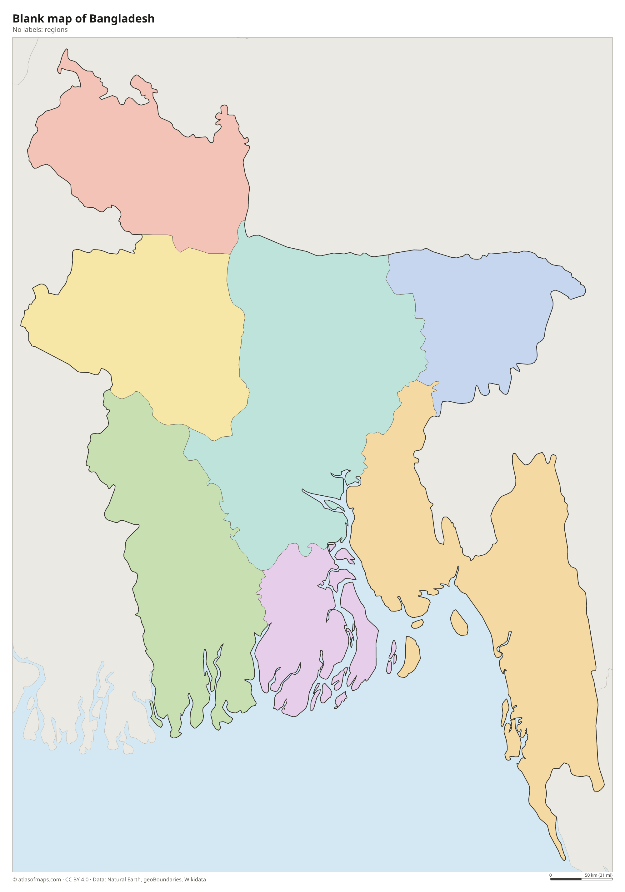
Blank map of Bangladesh

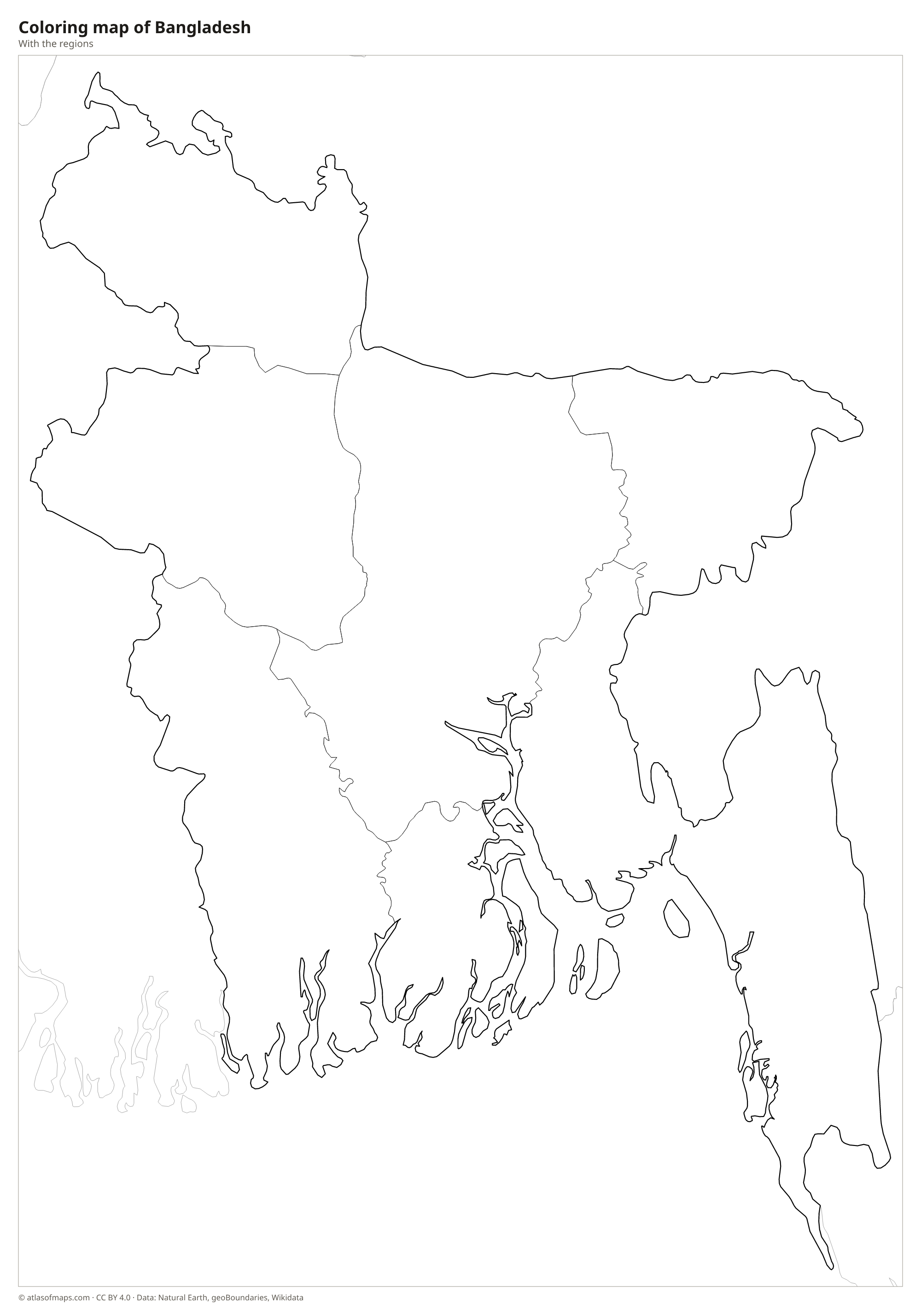
Coloring map of Bangladesh

Geography of Bangladesh
Bangladesh covers 147,570 km² (56,977 sq mi), and most of it is a flat, low-lying plain built from river sediment. It lies almost entirely within the delta formed by the Ganges, Brahmaputra and Meghna rivers, the largest river delta in the world. The only real hills are in the east: the Sylhet hills in the northeast and the Chittagong Hill Tracts in the southeast. The highest point, Mowdok Tiang, reaches 1,054 m (3,458 ft) in the Chittagong Hill Tracts near the border with Myanmar.
Hundreds of rivers cross the country. The Ganges enters from India and is called the Padma, the Brahmaputra flows south as the Jamuna, and the two meet before joining the Meghna on the way to the Bay of Bengal. In the southwest, the Sundarbans form the largest mangrove forest in the world, shared with India and home to the Bengal tiger. The climate is tropical monsoon, with heavy summer rain, frequent floods and cyclones from the Bay of Bengal. About 171.5 million people (2023) live in Bangladesh, one of the most densely populated countries on Earth.
Fun facts
- The Sundarbans mangrove forest is a UNESCO World Heritage Site and one of the last strongholds of the Bengal tiger.
- Cox's Bazar, on the Bay of Bengal, is often described as the longest natural sea beach in the world.
- Much of Bangladesh lies less than 10 m (33 ft) above sea level, which makes it highly exposed to floods and rising seas.
Flag of Bangladesh
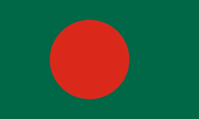
The flag of Bangladesh is a dark green rectangle with a large red disc. The disc is placed slightly toward the hoist rather than in the exact center, so that it appears centered when the flag flies. The design has no emblem, text or other symbols.
Countries bordering Bangladesh
Frequently asked questions
What countries border Bangladesh?
Bangladesh borders only two countries: India, which wraps around it on the west, north and east, and Myanmar in the southeast. The Bay of Bengal lies to the south.
What is the capital of Bangladesh?
The capital is Dhaka, on the Buriganga River in the center of the country. It is the largest city and one of the most densely populated cities in the world.
What rivers flow through Bangladesh?
The three great rivers are the Ganges (called the Padma), the Brahmaputra (called the Jamuna) and the Meghna. Together with hundreds of smaller rivers, they form the Bengal Delta.
What language is spoken in Bangladesh?
The official language is Bangla.
Can I print the map of Bangladesh?
Yes. Every map on this page can be downloaded for free as PNG or PDF (US Letter) and printed, including the blank map and the coloring map. Please credit the source (Atlas of Maps, CC BY 4.0).
Use this map
You can download, print and share this map for free, in class, in school projects, in presentations and on websites, as long as you credit the source: Map of Bangladesh · Atlas of Maps (atlasofmaps.com), license CC BY 4.0.
See also: Map of Asia · World map