Map of Egypt with governorates and capitals
Egypt is a country in the northeast corner of Africa, with the Sinai Peninsula reaching into Asia. It borders Libya, Sudan, Israel and Palestine (the Gaza Strip), and has coasts on the Mediterranean Sea and the Red Sea. The political map shows its 27 governorates, the capital, Cairo, and major cities.

- Capital
- Cairo
- Population
- 114.5 million (2023)
- Area
- 1,010,408 km² (390,121 sq mi)
- Population density
- 113 per km² (294 per sq mi)
- Official language
- Arabic
- Currency
- Egyptian pound
- Demonym
- Egyptian
- Governorates
- 27
- Highest point
- Mount Catherine (2,637 m (8,652 ft))
- Calling code
- +20
- Internet domain
- .eg
- Official name
- Arab Republic of Egypt
Where is Egypt?
Egypt is a country in the northeast corner of Africa, with the Sinai Peninsula reaching into Asia. It borders Libya, Sudan, Israel and Palestine (the Gaza Strip), and has coasts on the Mediterranean Sea and the Red Sea.

Governorates of Egypt and their capitals
Egypt is divided into 27 governorates. Some are cities, such as Cairo, Alexandria, Port Said and Suez, while large desert governorates like New Valley, Matrouh and Red Sea cover most of the country's area.
| Governorate | Capital | Population | Area |
|---|---|---|---|
| Al Sharqia | Zagazig | 7,163,824 | 4,911 km² (1,896 sq mi) |
| Alexandria | Alexandria | 5,163,750 | 2,879 km² (1,112 sq mi) |
| Aswan | Aswan | 1,473,975 | 62,726 km² (24,219 sq mi) |
| Asyut | Asyut | 4,383,289 | 13,720 km² (5,297 sq mi) |
| Beheira | Damanhur | 6,171,613 | 9,826 km² (3,794 sq mi) |
| Beni Suef | Beni Suef | 3,154,100 | 10,954 km² (4,229 sq mi) |
| Cairo | Cairo | 9,539,673 | 3,085 km² (1,191 sq mi) |
| Dakahlia | Mansoura | 6,492,381 | 3,538 km² (1,366 sq mi) |
| Damietta | Damietta | 1,496,765 | 910 km² (351 sq mi) |
| Faiyum | Faiyum | 3,596,954 | 6,068 km² (2,343 sq mi) |
| Gharbia | Tanta | 4,999,633 | 1,942 km² (750 sq mi) |
| Giza | Giza | 8,632,021 | 13,184 km² (5,090 sq mi) |
| Ismailia | Ismailia | 1,303,993 | 5,067 km² (1,956 sq mi) |
| Kafr el-Sheikh | Kafr el-Sheikh | 3,362,185 | 3,467 km² (1,339 sq mi) |
| Luxor | Luxor | 1,250,209 | 2,960 km² (1,143 sq mi) |
| Matrouh | Marsa Matruh | 425,624 | 166,563 km² (64,310 sq mi) |
| Minya | Minya | 5,497,095 | 32,279 km² (12,463 sq mi) |
| Monufia | Shibin Al Kawm | 4,301,601 | 2,499 km² (965 sq mi) |
| New Valley | El-Kharga Town | 241,247 | 440,098 km² (169,923 sq mi) |
| North Sinai | Arish | 450,328 | 27,564 km² (10,643 sq mi) |
| Port Said | Port Said | 749,371 | 1,345 km² (519 sq mi) |
| Qalyubia | Benha | 6,182,750 | 1,124 km² (434 sq mi) |
| Qena | Qena | 3,164,281 | 8,980 km² (3,467 sq mi) |
| Red Sea | Hurghada | 359,888 | 120,000 km² (46,332 sq mi) |
| Sohag | Sohag | 4,967,409 | 11,218 km² (4,331 sq mi) |
| South Sinai | El-Tor | 150,088 | 31,272 km² (12,074 sq mi) |
| Suez | Suez | 728,180 | 9,002 km² (3,476 sq mi) |
Population from Wikidata (latest figure available for each governorate).
Blank and coloring maps of Egypt
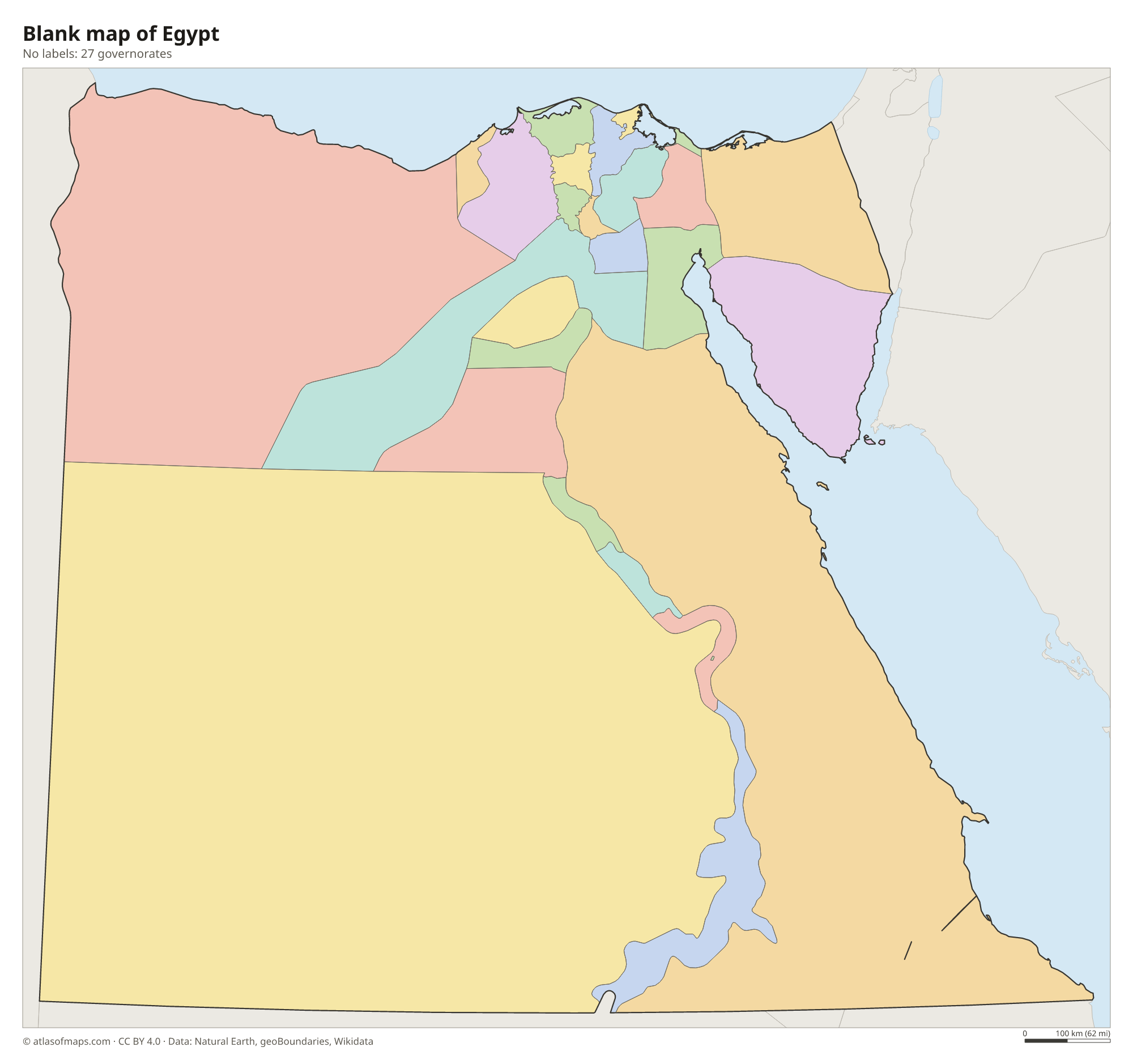
Blank map of Egypt

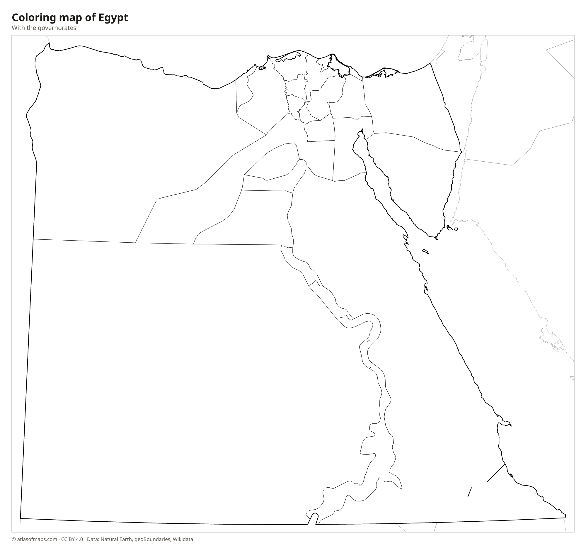
Coloring map of Egypt

Geography of Egypt
Egypt covers 1,010,408 km² (390,121 sq mi), but more than 90 percent of it is desert. West of the Nile, the Western Desert forms part of the Sahara, with sand seas, scattered oases such as Siwa and Kharga, and the Qattara Depression, which drops well below sea level. East of the river, the Eastern Desert rises to rugged mountains along the Red Sea. The triangular Sinai Peninsula is also mountainous in the south, where Mount Catherine reaches 2,637 m (8,652 ft), close to Mount Sinai.
Almost all Egyptians live along the Nile, which flows north through the length of the country and fans out into a broad delta north of Cairo before reaching the Mediterranean. In the south, the Aswan High Dam holds back Lake Nasser, one of the largest artificial lakes in the world. The Suez Canal, opened in 1869, links the Mediterranean with the Red Sea and separates Sinai from the African mainland. The climate is hot and dry, with mild winters and very little rain outside the northern coast.
Fun facts
- The Great Pyramid of Giza is the only one of the Seven Wonders of the Ancient World that still stands.
- The Suez Canal has no locks, because the Mediterranean and the Red Sea are at nearly the same level.
- The Sinai Peninsula makes Egypt a transcontinental country, with land in both Africa and Asia.
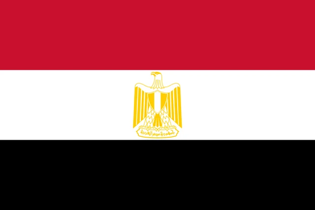
Flag of Egypt
The flag of Egypt is a horizontal tricolor of red, white and black. In the center of the white stripe is the Eagle of Saladin in gold, with a shield on its chest and a scroll beneath its feet bearing the name of the country in Arabic. The flag's proportions are 2:3.
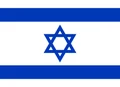
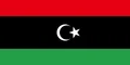
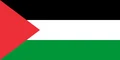
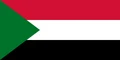
Countries bordering Egypt
Frequently asked questions
Is Egypt in Africa or Asia?
Egypt is mainly in Africa, in the continent's northeast corner. The Sinai Peninsula, east of the Suez Canal, lies in Asia, so Egypt is a transcontinental country and is usually counted as part of the Middle East.
How many governorates does Egypt have?
Egypt has 27 governorates. They range from city governorates such as Cairo and Alexandria to vast desert ones like New Valley, which covers much of the Western Desert.
What countries border Egypt?
Egypt borders Libya to the west, Sudan to the south, and Israel and Palestine (the Gaza Strip) to the northeast. Jordan and Saudi Arabia lie just across the Gulf of Aqaba.
What is the capital of Egypt?
The capital of Egypt is Cairo.
What language is spoken in Egypt?
The official language is Arabic.
Can I print the map of Egypt?
Yes. Every map on this page can be downloaded for free as PNG or PDF (US Letter) and printed, including the blank map and the coloring map. Please credit the source (Atlas of Maps, CC BY 4.0).
Use this map
You can download, print and share this map for free, in class, in school projects, in presentations and on websites, as long as you credit the source: Map of Egypt · Atlas of Maps (atlasofmaps.com), license CC BY 4.0.
See also: Map of Africa · Map of the Middle East · World map