Map of Oceania with countries and capitals
Oceania, often called Australia and Oceania, covers Australia, New Zealand, the eastern half of New Guinea and thousands of Pacific islands between Asia and the Americas. The Pacific Ocean surrounds most of it, with the Indian Ocean west of Australia and the Southern Ocean to the south. The map shows 14 countries plus three territories: French Polynesia, New Caledonia and Guam.

Australia, the smallest of the seven continents, is mostly flat and dry. Deserts and semi-arid plains fill the interior, known as the Outback, while the Great Dividing Range runs along the east coast and the Murray and Darling rivers drain the southeast. The Great Barrier Reef lies off the coast of Queensland. New Zealand is far more mountainous, with the Southern Alps on the South Island and active volcanoes on the North Island. New Guinea has high, rain-forested mountains, and many of the smaller islands are volcanic peaks or low coral atolls, as in Kiribati, Tuvalu and the Marshall Islands. Most islands have a warm tropical climate, and cyclones are common in the southwest Pacific.
The Pacific islands are traditionally grouped into Melanesia (Papua New Guinea, the Solomon Islands, Vanuatu, Fiji, New Caledonia), Micronesia (Palau, the Federated States of Micronesia, the Marshall Islands, Nauru, Kiribati, Guam) and Polynesia (Samoa, Tonga, Tuvalu, French Polynesia), while Australia and New Zealand form Australasia. Australia is by far the largest country at about 7.69 million km² (2.97 million sq mi); Nauru, at 21 km² (8.1 sq mi), is the smallest. Canberra, not Sydney, is Australia's capital, and Wellington is New Zealand's. French Polynesia and New Caledonia belong to France, and Guam is a U.S. territory. Hawaii also lies in Polynesia but is a U.S. state.
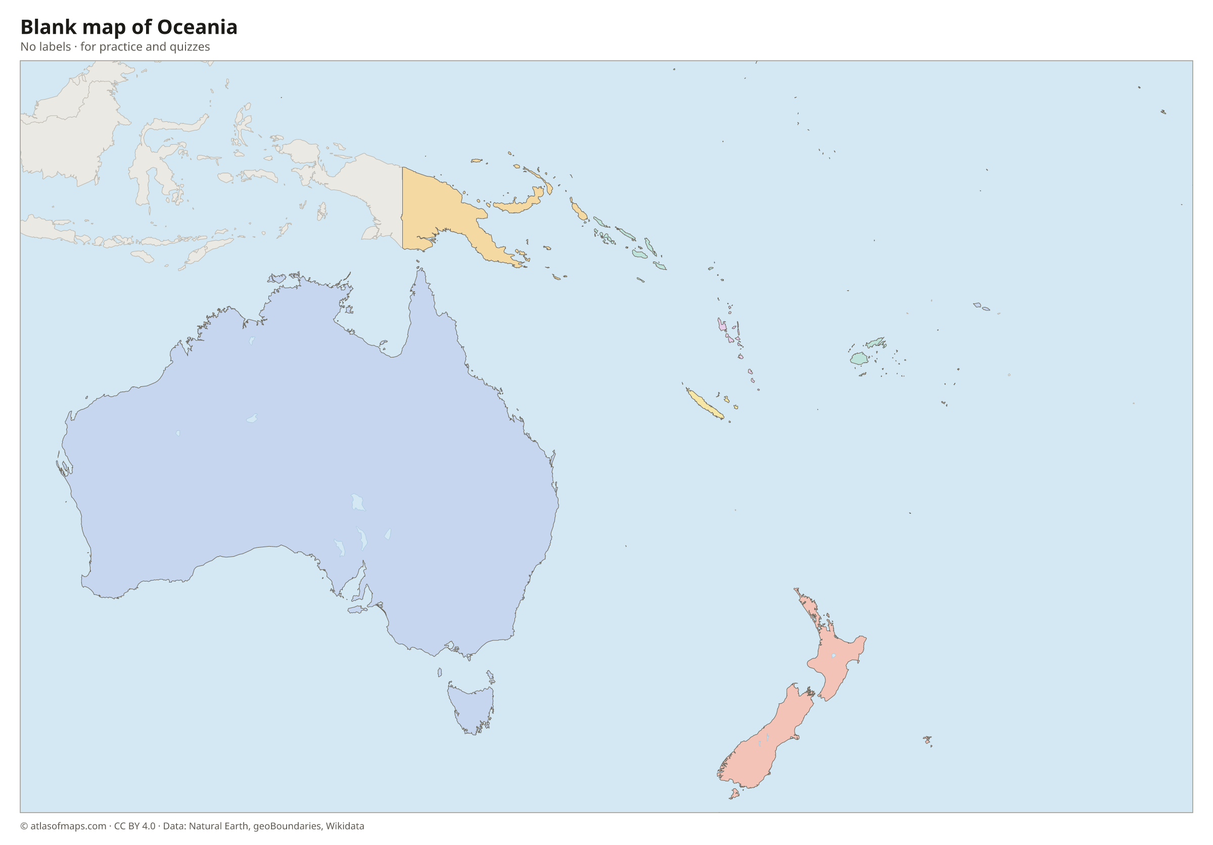
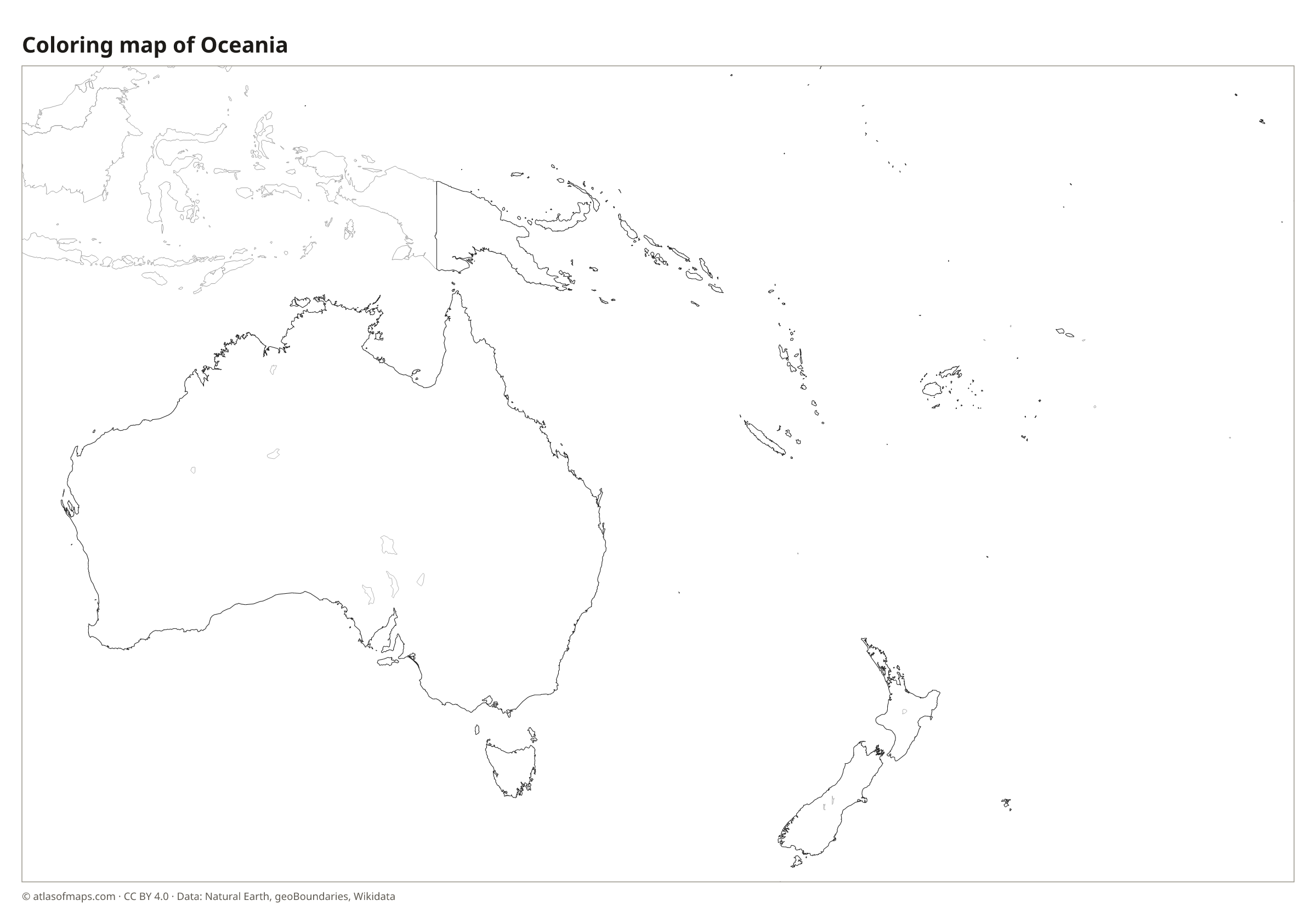
Blank and coloring maps of Oceania
Blank map of Oceania
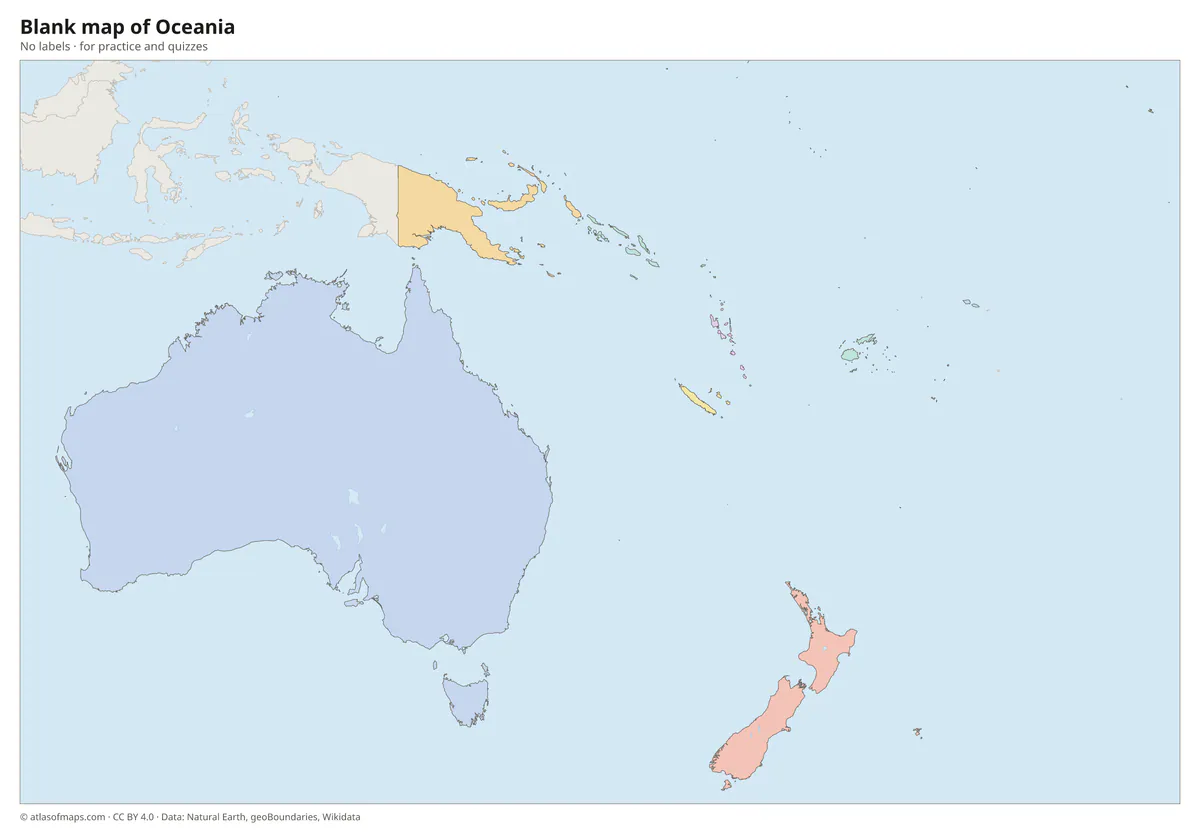
Coloring map of Oceania

Countries of Oceania and their capitals
List of the countries of Oceania sorted by area and population →
| Country | Capital | Population | Area |
|---|---|---|---|
| Australia | Canberra | 27,614,411 | 7,692,024 km² (2,969,907 sq mi) |
| Fiji | Suva | 926,276 | 18,274 km² (7,056 sq mi) |
| French Polynesia (territory) | Papeete | 278,786 | 4,167 km² (1,609 sq mi) |
| Guam (territory) | Hagåtña | 153,836 | 544 km² (210 sq mi) |
| Kiribati | South Tarawa | 134,518 | 811 km² (313 sq mi) |
| Marshall Islands | Majuro | 53,127 | 181 km² (70 sq mi) |
| Micronesia | Palikir | 75,817 | 702 km² (271 sq mi) |
| Nauru | Yaren District | 13,650 | 21 km² (8.1 sq mi) |
| New Caledonia (territory) | Nouméa | 278,500 | 18,576 km² (7,172 sq mi) |
| New Zealand | Wellington | 5,307,800 | 268,021 km² (103,483 sq mi) |
| Palau | Ngerulmud | 21,729 | 466 km² (180 sq mi) |
| Papua New Guinea | Port Moresby | 8,935,000 | 462,840 km² (178,704 sq mi) |
| Samoa | Apia | 200,010 | 2,842 km² (1,097 sq mi) |
| Solomon Islands | Honiara | 611,343 | 28,400 km² (10,965 sq mi) |
| Tonga | Nukuʻalofa | 108,020 | 749 km² (289 sq mi) |
| Tuvalu | Funafuti | 10,643 | 25 km² (9.7 sq mi) |
| Vanuatu | Port Vila | 300,019 | 12,190 km² (4,707 sq mi) |
Territories: French Polynesia, Guam, and New Caledonia.
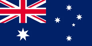
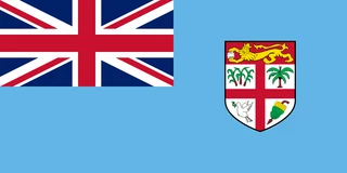
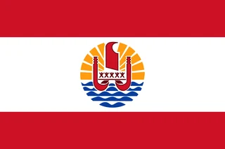
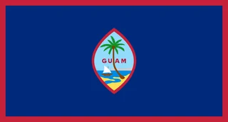
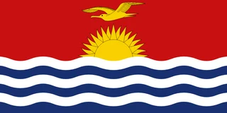
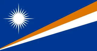
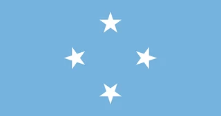
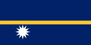
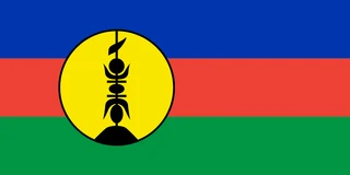
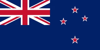
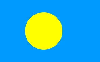
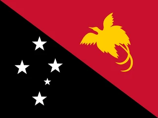
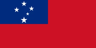
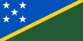
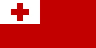
Flags of Oceania
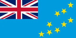
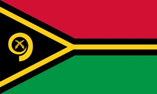
Frequently asked questions
How many countries are in Oceania?
Oceania has 14 independent countries: Australia, Fiji, Kiribati, the Marshall Islands, Micronesia, Nauru, New Zealand, Palau, Papua New Guinea, Samoa, the Solomon Islands, Tonga, Tuvalu and Vanuatu. The map also shows French Polynesia, New Caledonia and Guam.
Is Australia a continent or a country?
Both. Australia is a country, and its mainland is also counted as a continent. In the continent model taught in English-speaking schools, the continent is often called Australia or Oceania and includes New Zealand and the Pacific islands.
What is the smallest country in Oceania?
Nauru is the smallest country in Oceania, at 21 km² (8.1 sq mi). It is a single raised coral island in the central Pacific. Tuvalu, at 25 km² (9.7 sq mi), is only slightly larger.
What is the largest country in Oceania?
By area, the largest country is Australia, with 7,692,024 km² (2,969,907 sq mi).
What is the most populous country in Oceania?
Australia, with about 27.6 million people.
Where can I download a printable map of Oceania?
On this page: the political map, the blank map and the coloring map can be downloaded for free as PNG and PDF.
Use this map
You can download, print and share this map for free, in class, in school projects, in presentations and on websites, as long as you credit the source: Map of Oceania · Atlas of Maps (atlasofmaps.com), license CC BY 4.0.
More maps: Map of Europe · Map of Asia · Map of Africa · Map of North America · Map of South America · Map of Central America · Map of the Caribbean · Map of the Middle East · Map of the European Union · Map of Latin America · Map of Southeast Asia · World map