Map of China with provinces and capitals
China is a vast country in East Asia, bordered by 14 countries, including Russia, Mongolia, India, Pakistan and Vietnam. Its eastern coast faces the Yellow Sea, the East China Sea and the South China Sea, all part of the Pacific Ocean. The political map shows its 22 provinces, 5 autonomous regions and 4 municipalities, the capital, Beijing, and major cities.

- Capital
- Beijing
- Population
- 1.4 billion (2025)
- Area
- 9,596,961 km² (3,705,407 sq mi)
- Population density
- 146 per km² (379 per sq mi)
- Official language
- Standard Chinese (Mandarin)
- Currency
- renminbi
- Demonym
- Chinese
- Divisions
- 22 provinces, 5 autonomous regions and 4 municipalities
- Highest point
- Mount Everest (8,849 m (29,032 ft))
- Calling code
- +86
- Internet domain
- .cn
- Official name
- People's Republic of China
Where is China?
China is a vast country in East Asia, bordered by 14 countries, including Russia, Mongolia, India, Pakistan and Vietnam. Its eastern coast faces the Yellow Sea, the East China Sea and the South China Sea, all part of the Pacific Ocean.
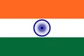
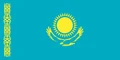
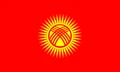
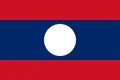
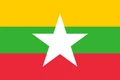
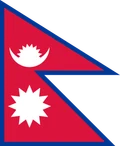
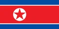
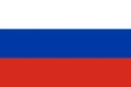
Neighboring countries: Afghanistan, Bhutan, Hong Kong, India, Kazakhstan, Kyrgyzstan, Laos, Myanmar, Mongolia, Nepal, Pakistan, North Korea, Russia, Tajikistan, Vietnam.

Provinces of China and their capitals
China is divided into 22 provinces, 5 autonomous regions (including Tibet, Xinjiang and Inner Mongolia) and 4 municipalities: Beijing, Shanghai, Tianjin and Chongqing. Hong Kong and Macau are special administrative regions, while Taiwan, which China claims, has its own government.
| Province | Capital | Population | Area |
|---|---|---|---|
| Anhui | Hefei | 61,027,171 | 139,000 km² (53,668 sq mi) |
| Beijing | Tongzhou District | 21,893,095 | 16,411 km² (6,336 sq mi) |
| Chongqing | Yuzhong District | 32,054,159 | 82,403 km² (31,816 sq mi) |
| Fujian | Fuzhou | 41,540,086 | 121,400 km² (46,873 sq mi) |
| Gansu | Lanzhou | 25,019,831 | 454,000 km² (175,290 sq mi) |
| Guangdong | Guangzhou | 126,012,510 | 179,800 km² (69,421 sq mi) |
| Guangxi | Nanning | 50,126,804 | 235,001 km² (90,734 sq mi) |
| Guizhou | Guiyang | 38,562,148 | 176,167 km² (68,018 sq mi) |
| Hainan | Haikou | 10,081,232 | 33,920 km² (13,097 sq mi) |
| Hebei | Shijiazhuang | 74,610,235 | 187,240 km² (72,294 sq mi) |
| Heilongjiang | Harbin | 31,850,088 | 454,800 km² (175,599 sq mi) |
| Henan | Zhengzhou | 99,365,519 | 167,000 km² (64,479 sq mi) |
| Hubei | Wuhan | 57,752,557 | 185,900 km² (71,776 sq mi) |
| Hunan | Changsha | 66,444,864 | 211,836 km² (81,790 sq mi) |
| Inner Mongolia | Hohhot | 24,049,155 | 1,181,104 km² (456,027 sq mi) |
| Jiangsu | Nanjing | 84,748,016 | 98,285 km² (37,948 sq mi) |
| Jiangxi | Nanchang | 45,188,635 | 166,900 km² (64,440 sq mi) |
| Jilin | Changchun | 24,073,453 | 187,400 km² (72,356 sq mi) |
| Liaoning | Shenyang | 42,591,407 | 145,900 km² (56,332 sq mi) |
| Ningxia | Yinchuan | 7,202,654 | 52,188 km² (20,150 sq mi) |
| Paracel Islands | — | — | — |
| Qinghai | Xining | 5,923,957 | 696,700 km² (268,997 sq mi) |
| Shaanxi | Xi'an | 39,528,999 | 205,800 km² (79,460 sq mi) |
| Shandong | Jinan | 101,527,453 | 156,700 km² (60,502 sq mi) |
| Shanghai | Huangpu District | 24,870,895 | 6,341 km² (2,448 sq mi) |
| Shanxi | Taiyuan | 34,915,616 | 156,000 km² (60,232 sq mi) |
| Sichuan | Chengdu | 83,674,866 | 485,000 km² (187,260 sq mi) |
| Tianjin | Hexi District | 13,866,009 | 11,920 km² (4,602 sq mi) |
| Tibet | Lhasa | 3,648,100 | 1,228,400 km² (474,288 sq mi) |
| Xinjiang | Ürümqi | 25,852,345 | 1,664,897 km² (642,820 sq mi) |
| Yunnan | Kunming | 47,209,277 | 394,100 km² (152,163 sq mi) |
| Zhejiang | Hangzhou | 64,567,588 | 101,800 km² (39,305 sq mi) |
Population from Wikidata (latest figure available for each province).
Blank and coloring maps of China
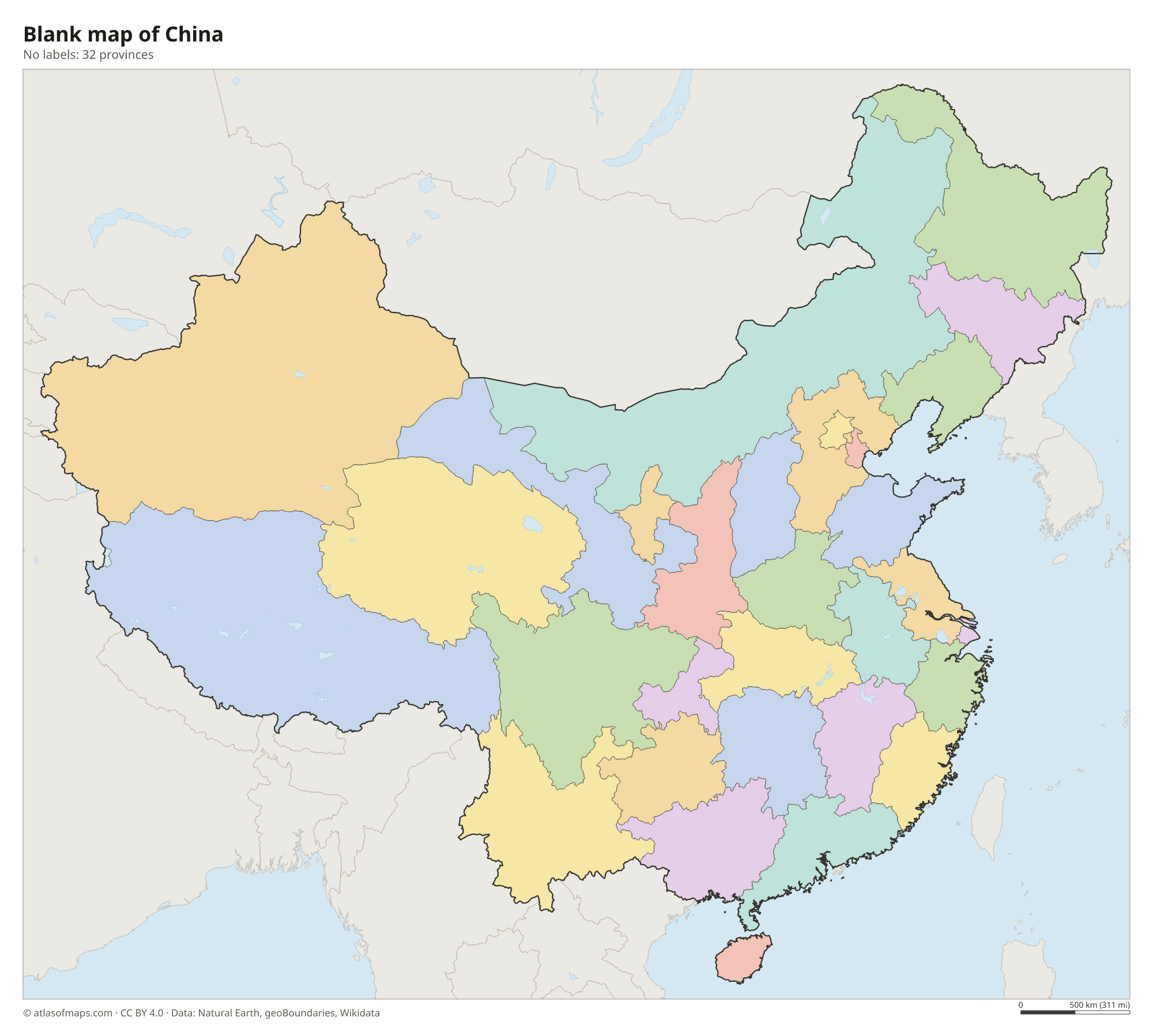
Blank map of China

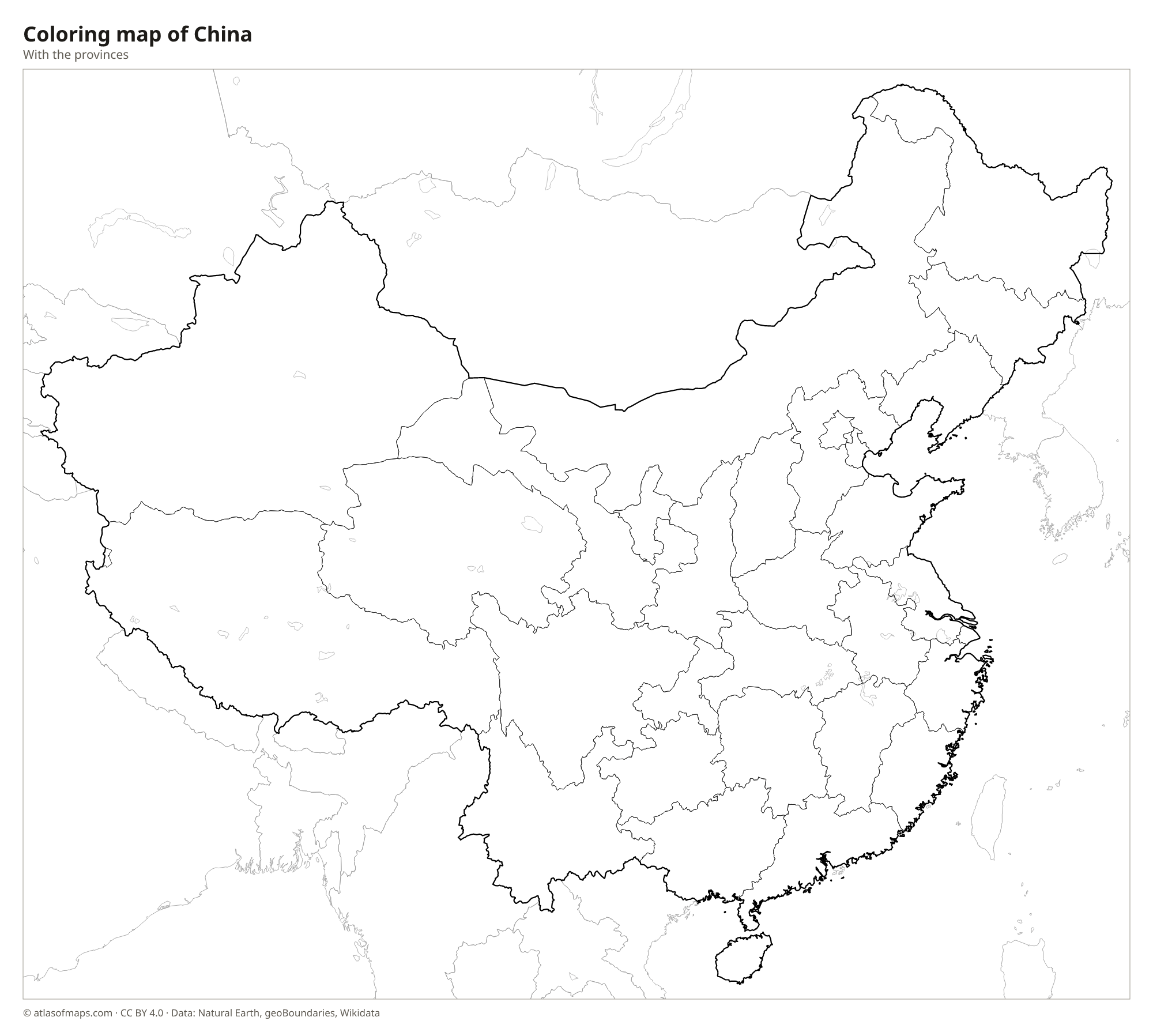
Coloring map of China

Geography of China
Covering 9,596,961 km² (3,705,407 sq mi), China descends in giant steps from west to east. In the southwest, the Tibetan Plateau lies more than 4,000 m (13,100 ft) above sea level and is bounded by the Himalayas, where Mount Everest, at 8,849 m (29,032 ft), stands on the border with Nepal. The northwest holds the Taklamakan Desert in the Tarim Basin and the Gobi Desert along the Mongolian border. Farther east come lower mountains, the Loess Plateau and finally the wide, fertile North China Plain near the coast.
China's two great rivers both rise on the Tibetan Plateau and flow east toward the Pacific. The Yangtze, the longest river in Asia, passes through the Three Gorges and reaches the sea at Shanghai, while the Yellow River carries yellow silt across the north. The climate ranges from subarctic in Heilongjiang to tropical on Hainan Island, with dry continental conditions in the interior. Most of China's roughly 1.4 billion people live in the humid eastern half of the country, where the large cities and farmland are concentrated.
Fun facts
- Although China spans about five geographic time zones, the whole country officially uses a single time, Beijing Time.
- The border between China and Nepal runs across the summit of Mount Everest.
- The Three Gorges Dam on the Yangtze River is the largest power station in the world by installed capacity.
Flag of China
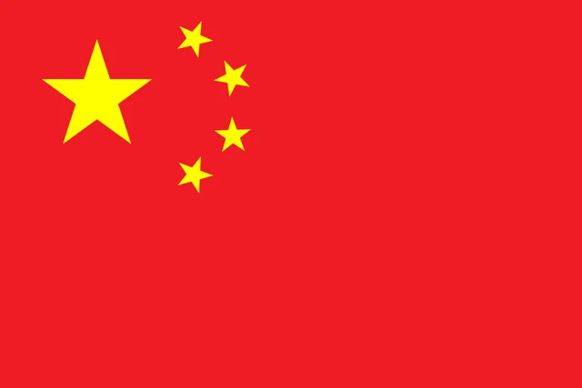
The flag of China is red with five yellow five-pointed stars in the upper hoist corner. One large star sits on the left, and four smaller stars form an arc to its right, each turned so that one point aims at the center of the large star. The flag is often called the Five-starred Red Flag.
Countries bordering China


Frequently asked questions
What countries border China?
China borders 14 countries: North Korea, Russia, Mongolia, Kazakhstan, Kyrgyzstan, Tajikistan, Afghanistan, Pakistan, India, Nepal, Bhutan, Myanmar, Laos and Vietnam. Together with Russia, it has more land neighbors than any other country.
How many provinces does China have?
China has 22 provinces, plus 5 autonomous regions and 4 municipalities under the central government, making 31 province-level divisions on the mainland. Hong Kong and Macau are special administrative regions.
What is the longest river in China?
The Yangtze is the longest river in China and in all of Asia. It rises on the Tibetan Plateau and flows east across the country to the East China Sea at Shanghai.
What is the capital of China?
The capital of China is Beijing.
What language is spoken in China?
The official language is Standard Chinese (Mandarin).
Can I print the map of China?
Yes. Every map on this page can be downloaded for free as PNG or PDF (US Letter) and printed, including the blank map and the coloring map. Please credit the source (Atlas of Maps, CC BY 4.0).
Use this map
You can download, print and share this map for free, in class, in school projects, in presentations and on websites, as long as you credit the source: Map of China · Atlas of Maps (atlasofmaps.com), license CC BY 4.0.
See also: Map of Asia · World map