Map of Greenland with regions and capitals
Greenland is the world's largest island, lying in the far north of North America between the Arctic Ocean and the North Atlantic. It is an autonomous territory of the Kingdom of Denmark, separated from Canada by Baffin Bay and the Nares Strait and from Iceland by the Denmark Strait. The political map shows its 6 regions, the capital, Nuuk, and major cities.
Autonomous territory of the Kingdom of Denmark.

- Capital
- Nuuk
- Population
- 56,609 (2023)
- Area
- 2,166,086 km² (836,330 sq mi)
- Population density
- 0 per km² (0 per sq mi)
- Official language
- Greenlandic
- Currency
- Danish krone
- Demonym
- Greenlandic
- Regions
- 6
- Highest point
- Gunnbjørn Fjeld (3,694 m (12,119 ft))
- Calling code
- +299
- Internet domain
- .gl
Where is Greenland?
Greenland is the world's largest island, lying in the far north of North America between the Arctic Ocean and the North Atlantic. It is an autonomous territory of the Kingdom of Denmark, separated from Canada by Baffin Bay and the Nares Strait and from Iceland by the Denmark Strait.

Regions of Greenland and their capitals
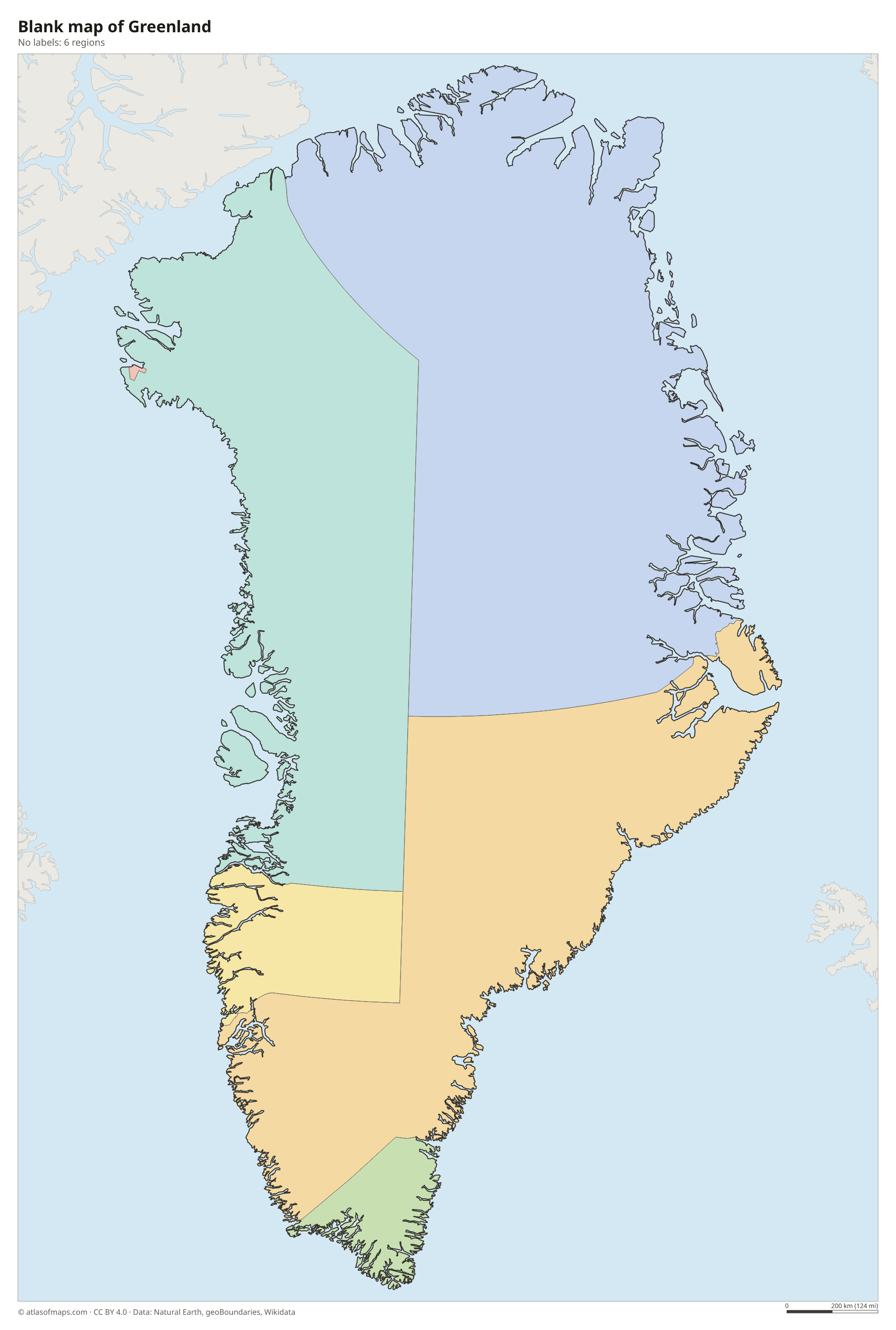
The map shows 6 regions: the municipalities of Kujalleq, Qeqqata, Sermersooq and Qaasuitsup, plus two areas outside any municipality, Northeast Greenland National Park and the Pituffik area around the U.S. space base. Qaasuitsup was split into Avannaata and Qeqertalik in 2018.
| Region | Capital | Population | Area |
|---|---|---|---|
| Kujalleq | Qaqortoq | 6,292 | 32,000 km² (12,355 sq mi) |
| Northeast Greenland National Park | — | 100 | 972,000 km² (375,291 sq mi) |
| Pituffik | — | 62 | — |
| Qaasuitsup | Ilulissat | 17,205 | 660,000 km² (254,827 sq mi) |
| Qeqqata | Sisimiut | 9,179 | 115,500 km² (44,595 sq mi) |
| Sermersooq | Nuuk | 24,643 | 531,900 km² (205,368 sq mi) |
Population from Wikidata (latest figure available for each region).
Blank and coloring maps of Greenland
Blank map of Greenland

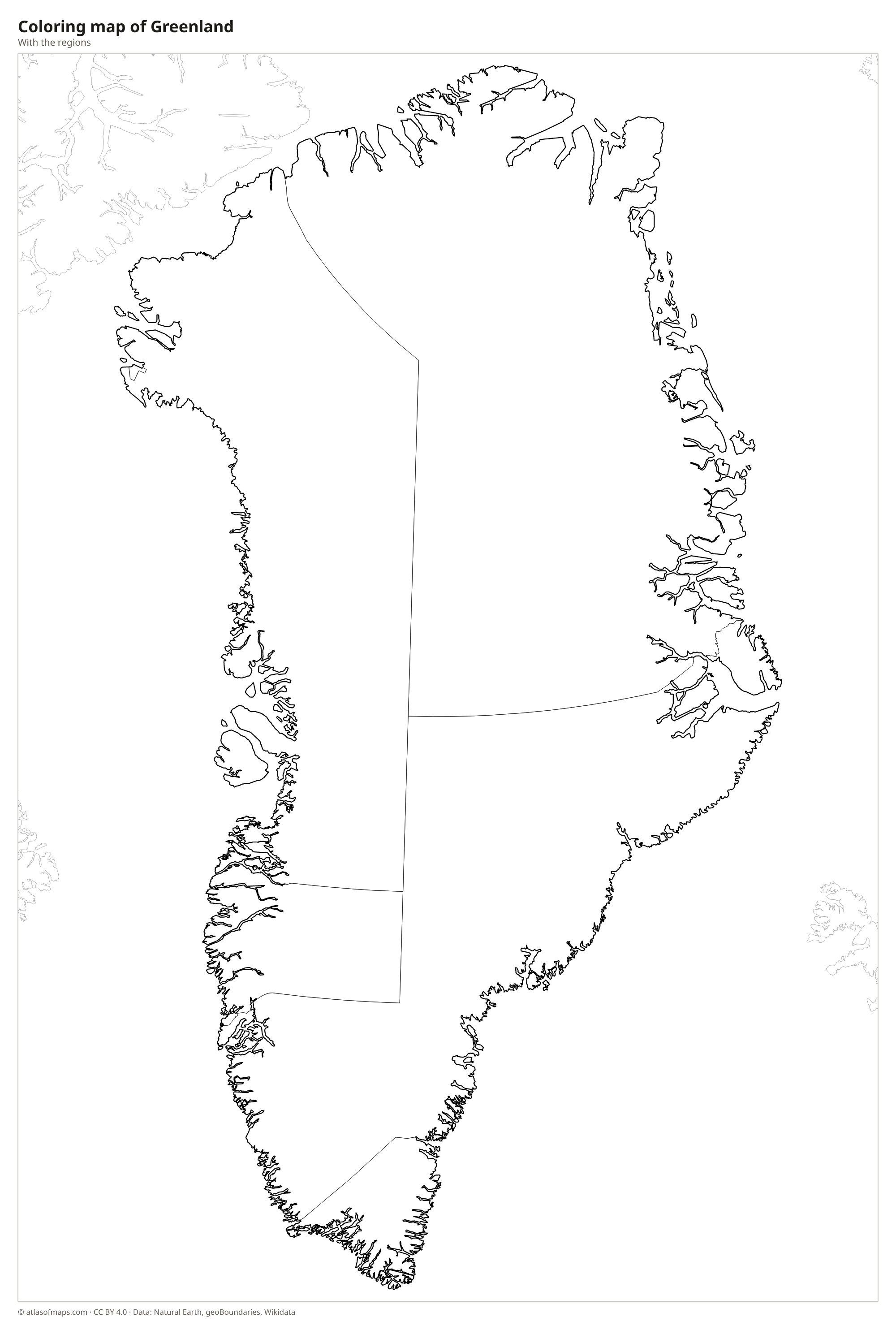
Coloring map of Greenland

Geography of Greenland
An ice sheet covers about four-fifths of Greenland's 2,166,086 km² (836,330 sq mi). It is the second-largest body of ice on Earth after the Antarctic ice sheet, and in places it is more than 3 km (1.9 mi) thick. Only a coastal strip is free of ice, cut by deep fjords and lined with mountains. The highest point, Gunnbjørn Fjeld at 3,694 m (12,119 ft), rises in the Watkins Range on the east coast. Fast-moving glaciers such as Sermeq Kujalleq near Ilulissat carry ice to the sea, where it breaks off as icebergs.
Rivers in Greenland are mostly meltwater streams that flow from the edge of the ice in summer, such as the Watson River near Kangerlussuaq. Almost all of the roughly 56,600 people (2023) live along the southwest and west coasts, where Nuuk, the capital, sits at the mouth of a large fjord system. The far north and east are nearly empty, and much of the northeast is protected as Northeast Greenland National Park, the largest national park in the world. The climate is arctic, with long, dark winters, cool summers and the midnight sun north of the Arctic Circle.
Fun facts
- Greenland looks huge on many world maps because the Mercator projection stretches areas near the poles, but Africa is actually about 14 times larger.
- Since a 2022 agreement between Denmark and Canada, tiny Hans Island in the Nares Strait is split between Greenland and Canada, giving Greenland its only land border.
Flag of Greenland
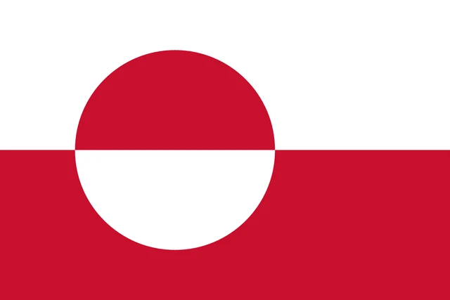
Greenland's flag is split horizontally into a white upper half and a red lower half. Slightly toward the pole sits a disc that is also divided in two, red on top and white below, so its colors are reversed against the background. The flag has a 2:3 ratio, and Greenlanders call it Erfalasorput, meaning our flag.
Frequently asked questions
Is Greenland a country?
Greenland is not an independent country. It is a self-governing territory within the Kingdom of Denmark, with its own parliament in Nuuk, while Denmark remains responsible for defense and most foreign affairs.
How many regions does Greenland have?
The map shows 6 regions: four municipalities (Kujalleq, Qeqqata, Sermersooq and Qaasuitsup), Northeast Greenland National Park and the Pituffik area. Since 2018, Qaasuitsup has been split into two municipalities.
Is Greenland part of North America or Europe?
Geographically, Greenland belongs to North America, because it sits on the North American continental shelf next to Canada. Politically and culturally it is tied to Europe through Denmark.
What is the capital of Greenland?
The capital of Greenland is Nuuk.
What countries border Greenland?
Greenland has no land borders with other countries: all its borders are at sea.
What language is spoken in Greenland?
The official language is Greenlandic.
Can I print the map of Greenland?
Yes. Every map on this page can be downloaded for free as PNG or PDF (US Letter) and printed, including the blank map and the coloring map. Please credit the source (Atlas of Maps, CC BY 4.0).
Use this map
You can download, print and share this map for free, in class, in school projects, in presentations and on websites, as long as you credit the source: Map of Greenland · Atlas of Maps (atlasofmaps.com), license CC BY 4.0.
See also: Map of North America · World map