Map of Brazil with states and capitals
Brazil is the largest country in South America, covering much of the east of the continent. It borders every South American country except Chile and Ecuador, and has a long coastline on the Atlantic Ocean to the east. The political map shows its 26 states and the Federal District, the capital, Brasília, and major cities.

- Capital
- Brasília
- Population
- 214.2 million (2026)
- Area
- 8,515,767 km² (3,287,956 sq mi)
- Population density
- 25 per km² (65 per sq mi)
- Official language
- Portuguese
- Currency
- Brazilian real
- Demonym
- Brazilian
- Divisions
- 26 states and the Federal District
- Highest point
- Pico da Neblina (2,994 m (9,823 ft))
- Calling code
- +55
- Internet domain
- .br
- Official name
- Federative Republic of Brazil
Where is Brazil?
Brazil is the largest country in South America, covering much of the east of the continent. It borders every South American country except Chile and Ecuador, and has a long coastline on the Atlantic Ocean to the east.
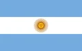
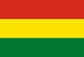
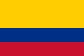
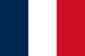
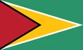
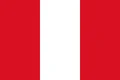
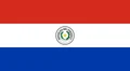
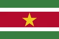
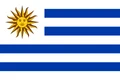
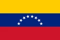
Neighboring countries: Argentina, Bolivia, Colombia, France, Guyana, Peru, Paraguay, Suriname, Uruguay, Venezuela.

States of Brazil and their capitals
Brazil is a federation of 26 states and the Federal District, where the capital, Brasília, lies. The states range from huge Amazonas, the largest by area, to small coastal Sergipe, and São Paulo has the most people.
| State | Capital | Population | Area |
|---|---|---|---|
| Acre | Rio Branco | 830,018 | 152,581 km² (58,912 sq mi) |
| Alagoas | Maceió | 3,127,683 | 27,767 km² (10,721 sq mi) |
| Amapá | Macapá | 733,759 | 142,815 km² (55,141 sq mi) |
| Amazonas | Manaus | 3,941,613 | 1,559,168 km² (601,998 sq mi) |
| Bahia | Salvador | 14,141,626 | 565,733 km² (218,431 sq mi) |
| Ceará | Fortaleza | 8,794,957 | 146,348 km² (56,505 sq mi) |
| Espírito Santo | Vitória | 3,833,712 | 46,078 km² (17,791 sq mi) |
| Federal | Brasília | 2,817,381 | 5,761 km² (2,224 sq mi) |
| Goiás | Goiânia | 7,056,495 | 340,086 km² (131,308 sq mi) |
| Maranhão | São Luís | 6,776,699 | 331,983 km² (128,179 sq mi) |
| Mato Grosso | Cuiabá | 3,658,649 | 903,357 km² (348,788 sq mi) |
| Mato Grosso do Sul | Campo Grande | 2,757,013 | 357,146 km² (137,895 sq mi) |
| Minas Gerais | Belo Horizonte | 20,539,989 | 586,514 km² (226,454 sq mi) |
| Pará | Belém | 8,120,131 | 1,245,871 km² (481,033 sq mi) |
| Paraíba | João Pessoa | 3,974,687 | 56,585 km² (21,848 sq mi) |
| Paraná | Curitiba | 11,444,380 | 199,315 km² (76,956 sq mi) |
| Pernambuco | Recife | 9,058,931 | 98,938 km² (38,200 sq mi) |
| Piauí | Teresina | 3,271,199 | 251,756 km² (97,204 sq mi) |
| Rio de Janeiro | Rio de Janeiro | 16,055,174 | 43,696 km² (16,871 sq mi) |
| Rio Grande do Norte | Natal | 3,302,729 | 53,307 km² (20,582 sq mi) |
| Rio Grande do Sul | Porto Alegre | 10,882,965 | 281,707 km² (108,768 sq mi) |
| Rondônia | Porto Velho | 1,581,196 | 237,765 km² (91,802 sq mi) |
| Roraima | Boa Vista | 636,707 | 223,645 km² (86,350 sq mi) |
| Santa Catarina | Florianópolis | 7,610,361 | 95,731 km² (36,962 sq mi) |
| São Paulo | São Paulo | 44,411,238 | 248,209 km² (95,834 sq mi) |
| Sergipe | Aracaju | 2,210,004 | 22,050 km² (8,514 sq mi) |
| Tocantins | Palmas | 1,511,460 | 278,421 km² (107,499 sq mi) |
Population from Wikidata (latest figure available for each state).
Blank and coloring maps of Brazil
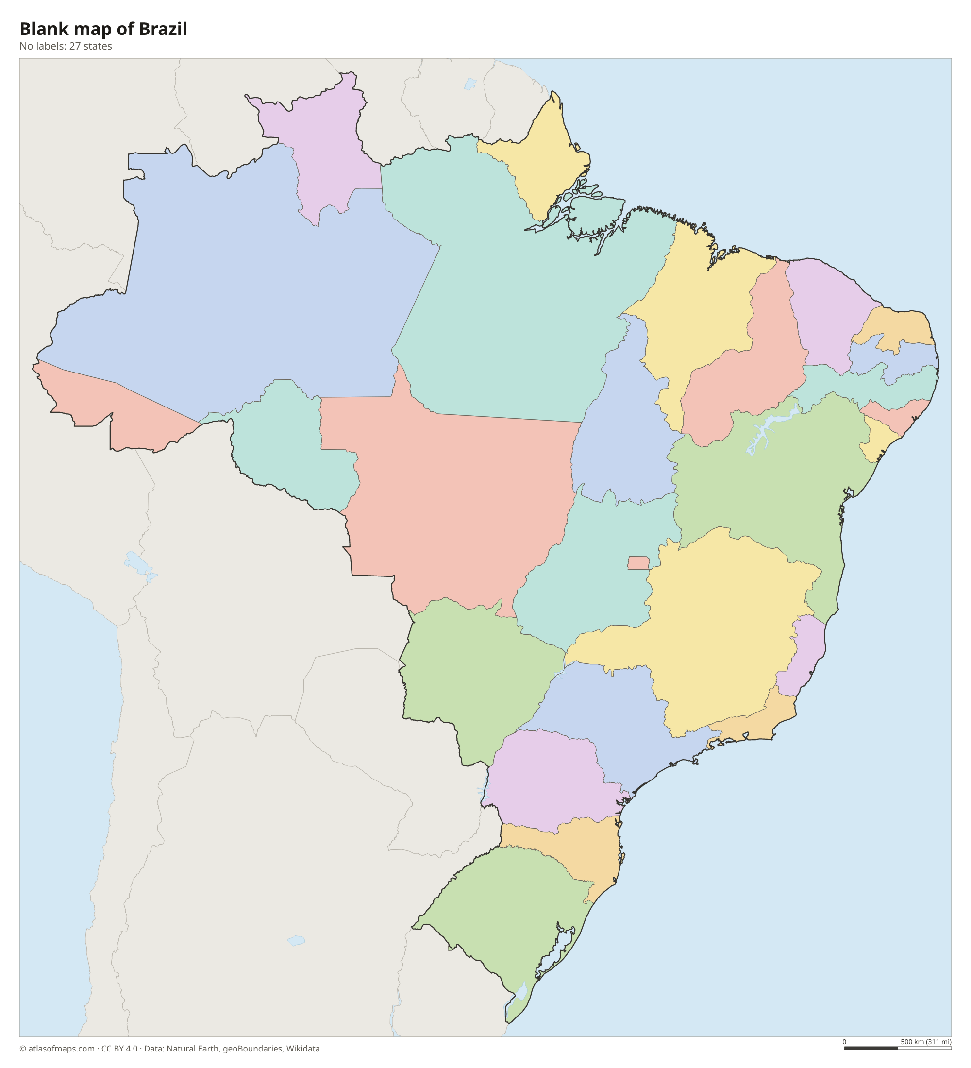
Blank map of Brazil

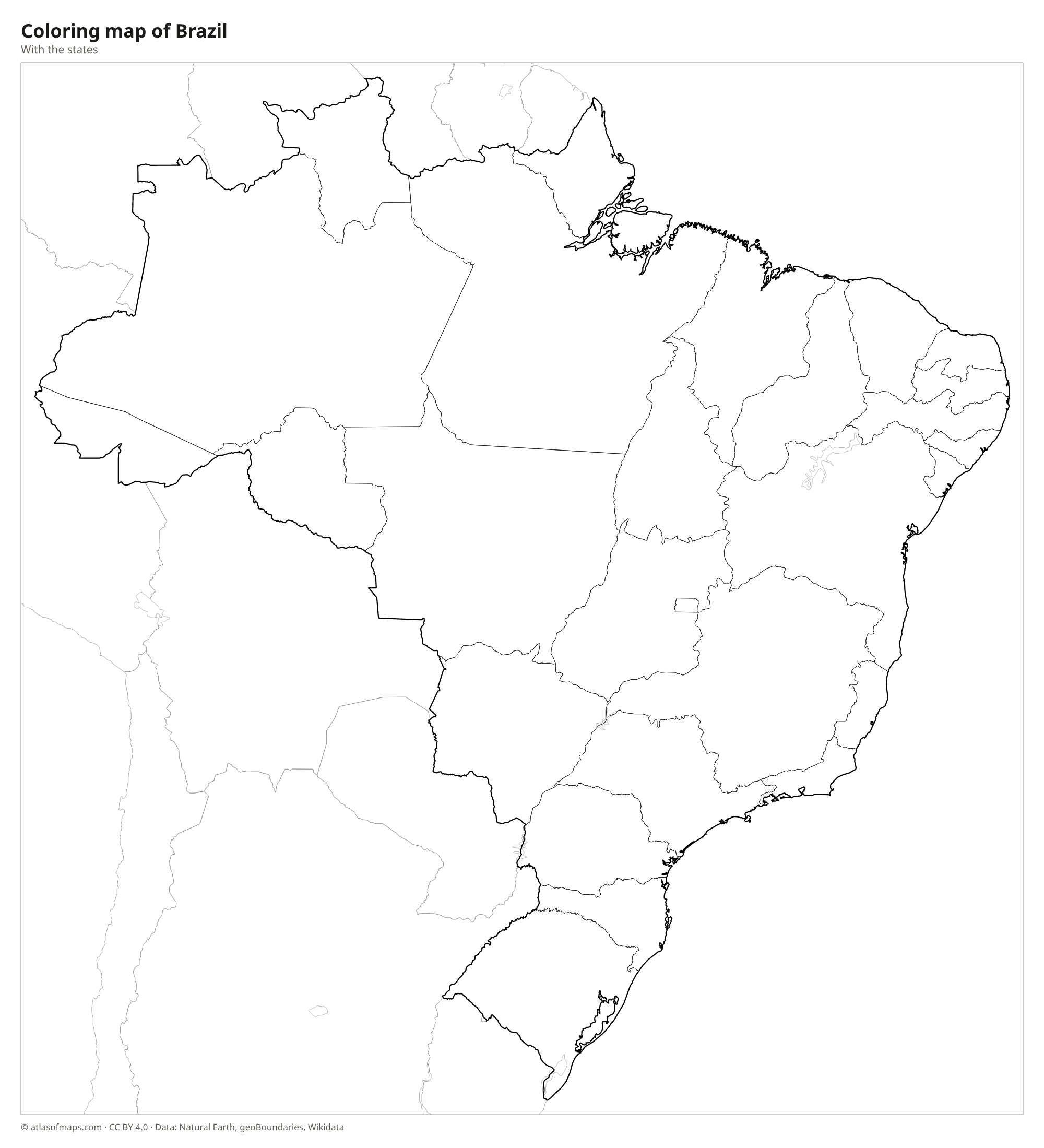
Coloring map of Brazil

Geography of Brazil
Brazil covers 8,515,767 km² (3,287,956 sq mi), making it the fifth-largest country in the world. The north is dominated by the Amazon basin, a low plain covered by the largest tropical rainforest on Earth. The center and southeast are occupied by the Brazilian Highlands, a broad plateau with savanna called the Cerrado, edged along the coast by steep ranges such as the Serra do Mar. The highest point, Pico da Neblina, reaches 2,994 m (9,823 ft) in the far north, on the border with Venezuela. The dry Caatinga scrubland covers the northeast.
The Amazon River crosses the north from west to east and carries more water than any other river in the world. In the south, the Paraná flows toward Argentina, and the Iguaçu Falls lie on the Iguaçu River at the border with Argentina. The São Francisco is the longest river entirely within Brazil. In the west, the Pantanal is among the largest tropical wetlands on Earth. Most of Brazil has a tropical climate, while the south is subtropical, with cooler winters. About 214.2 million people (2026) live in Brazil, mostly near the Atlantic coast.
Fun facts
- Brazil is crossed by both the Equator and the Tropic of Capricorn.
- Brazil borders ten countries, more than any other country in South America.
- Portuguese is the official language, which makes Brazil the largest Portuguese-speaking country in the world.
Flag of Brazil
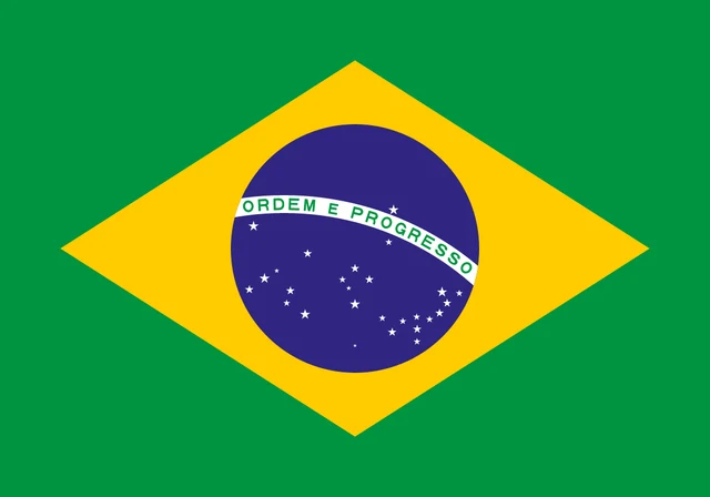
The flag of Brazil is green with a large yellow rhombus in the center. Inside the rhombus is a blue globe showing a starry sky, crossed by a curved white band with the national motto, Ordem e Progresso (Order and Progress), in green letters. The globe holds 27 white stars of different sizes.
Countries bordering Brazil
Frequently asked questions
What countries border Brazil?
Brazil borders Uruguay, Argentina, Paraguay, Bolivia, Peru, Colombia, Venezuela, Guyana and Suriname, as well as France through French Guiana. Only Chile and Ecuador in South America do not border Brazil.
How many states does Brazil have?
Brazil has 26 states and one Federal District, which contains the capital, Brasília. The most populous state is São Paulo, and the largest by area is Amazonas.
What is the capital of Brazil?
The capital is Brasília, a planned city built on the central plateau and inaugurated in 1960. It replaced Rio de Janeiro, which had been the capital until then.
What language is spoken in Brazil?
The official language is Portuguese.
Can I print the map of Brazil?
Yes. Every map on this page can be downloaded for free as PNG or PDF (US Letter) and printed, including the blank map and the coloring map. Please credit the source (Atlas of Maps, CC BY 4.0).
Use this map
You can download, print and share this map for free, in class, in school projects, in presentations and on websites, as long as you credit the source: Map of Brazil · Atlas of Maps (atlasofmaps.com), license CC BY 4.0.
See also: Map of South America · Map of Latin America · World map