Map of France with regions and capitals
France is a country in Western Europe, bordered by Belgium, Luxembourg, Germany, Switzerland, Italy, Monaco, Spain and Andorra. It has coasts on the English Channel, the Atlantic Ocean and the Mediterranean Sea, and it also includes overseas regions. The political map shows its 13 metropolitan regions and 5 overseas regions, the capital, Paris, and major cities.

- Capital
- Paris
- Population
- 68.6 million (2025)
- Area
- 643,801 km² (248,573 sq mi)
- Population density
- 107 per km² (276 per sq mi)
- Official language
- French
- Currency
- euro and CFP Franc
- Demonym
- French
- Divisions
- 13 metropolitan regions and 5 overseas regions
- Highest point
- Mont Blanc (4,806 m (15,768 ft))
- Calling code
- +33
- Internet domain
- .fr
Where is France?
France is a country in Western Europe, bordered by Belgium, Luxembourg, Germany, Switzerland, Italy, Monaco, Spain and Andorra. It has coasts on the English Channel, the Atlantic Ocean and the Mediterranean Sea, and it also includes overseas regions.
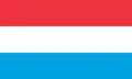
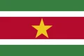
Neighboring countries: Andorra, Belgium, Brazil, Switzerland, Germany, Spain, Italy, Luxembourg, Monaco, Suriname.

Regions of France and their capitals
France is divided into 13 metropolitan regions, including Corsica, and 5 overseas regions: Guadeloupe, Martinique, French Guiana, Réunion and Mayotte. The overseas regions lie far from Europe, and French Guiana gives France land borders with Brazil and Suriname.
| Region | Capital | Population | Area |
|---|---|---|---|
| Auvergne-Rhône-Alpes | Lyon | 8,205,557 | 69,711 km² (26,916 sq mi) |
| Bourgogne-Franche-Comté | Besançon | 2,802,670 | 47,784 km² (18,450 sq mi) |
| Brittany | Rennes | 3,449,370 | 27,208 km² (10,505 sq mi) |
| Centre-Val de Loire | Orléans | 2,587,031 | 39,151 km² (15,116 sq mi) |
| Corsica | Ajaccio | 355,486 | 8,680 km² (3,351 sq mi) |
| French Guiana | Cayenne | 293,996 | 83,534 km² (32,253 sq mi) |
| Grand Est | Strasbourg | 5,563,378 | 57,433 km² (22,175 sq mi) |
| Guadeloupe | Basse-Terre | 384,160 | 1,628 km² (629 sq mi) |
| Hauts-de-France | Lille | 5,992,194 | 31,813 km² (12,283 sq mi) |
| Île-de-France | Paris | 12,463,067 | 12,012 km² (4,638 sq mi) |
| Martinique | Fort-de-France | 360,630 | 1,128 km² (436 sq mi) |
| Mayotte | Mamoudzou | 320,901 | 374 km² (144 sq mi) |
| Normandy | Rouen | 3,345,842 | 29,906 km² (11,547 sq mi) |
| Nouvelle-Aquitaine | Bordeaux | 6,150,451 | 84,061 km² (32,456 sq mi) |
| Occitania | Toulouse | 6,124,653 | 72,724 km² (28,079 sq mi) |
| Pays de la Loire | Nantes | 3,907,156 | 32,082 km² (12,387 sq mi) |
| Provence-Alpes-Côte d'Azur | Marseille | 5,218,960 | 31,400 km² (12,124 sq mi) |
| Réunion | Saint-Denis | 889,679 | 2,512 km² (970 sq mi) |
Population from Wikidata (latest figure available for each region).
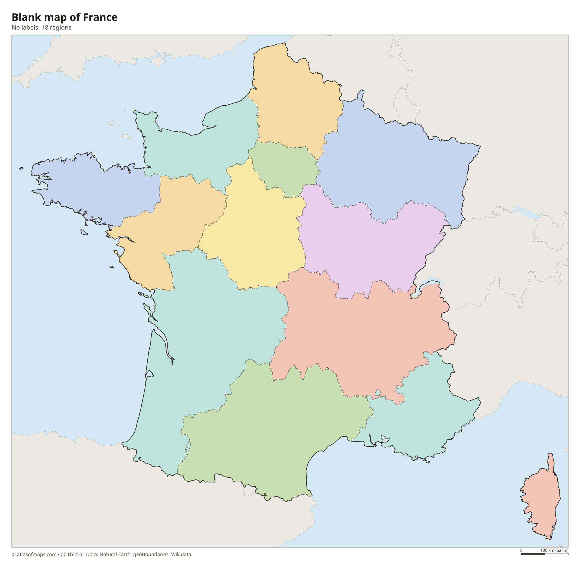
Blank and coloring maps of France
Blank map of France

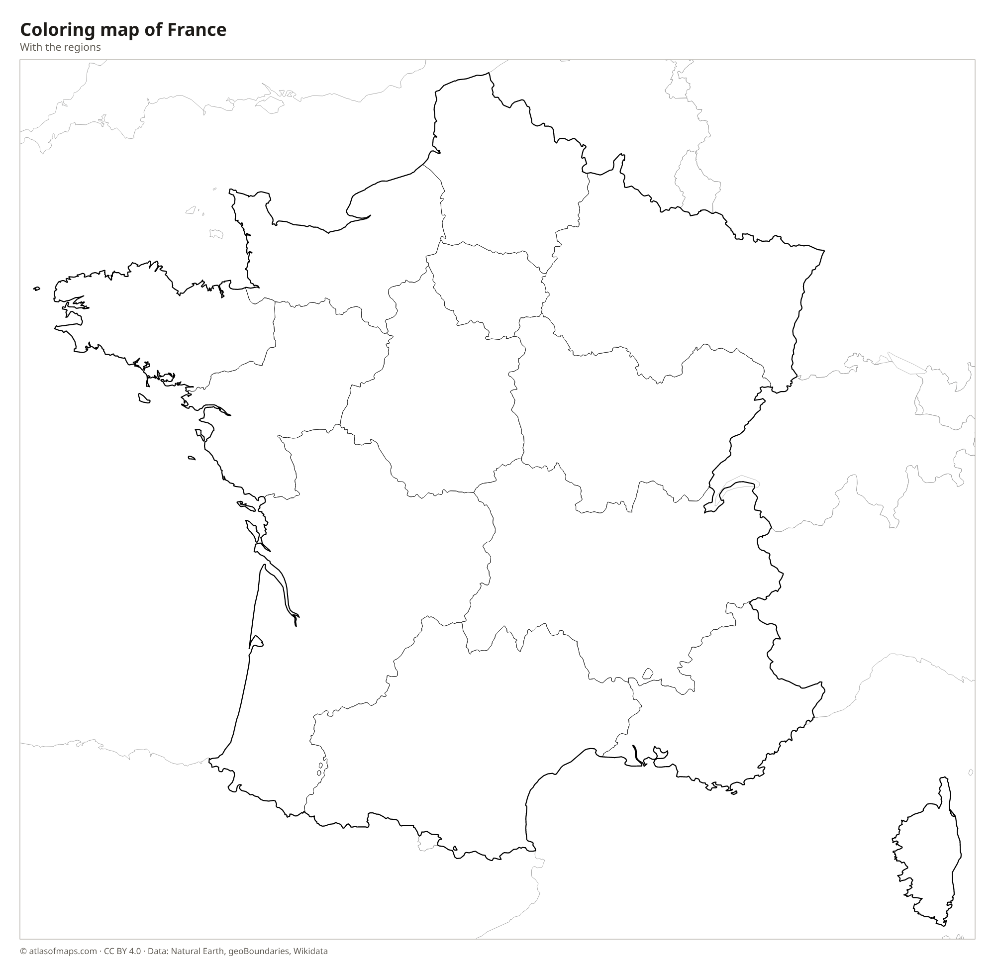
Coloring map of France

Geography of France
Metropolitan France is often called the Hexagon because of its six-sided shape. The north and west are mostly plains and low plateaus, including the Paris Basin and the Aquitaine Basin. The Massif Central, an old upland with extinct volcanoes, rises in the south-center. Mountain ranges form natural borders: the Pyrenees with Spain, and the Jura and the Alps with Switzerland and Italy. In the Alps, Mont Blanc reaches 4,806 m (15,768 ft), the highest point in Western Europe. The Mediterranean island of Corsica is also mountainous.
Four major rivers drain the country: the Seine through Paris to the English Channel, the Loire, the longest, to the Atlantic, the Garonne in the southwest, and the Rhône, which flows from the Alps to the Mediterranean. The Rhine forms part of the border with Germany. The climate is oceanic in the west, more continental in the east, Mediterranean in the south and alpine in the mountains. Including its overseas regions, France covers 643,801 km² (248,573 sq mi), the largest area of any country in the European Union.
Fun facts
- Thanks to its overseas territories, France has more time zones than any other country.
- The Dune of Pilat near Arcachon is the tallest sand dune in Europe.
- The Loire, about 1,000 km (620 mi) long, is the longest river flowing entirely within France.
Flag of France
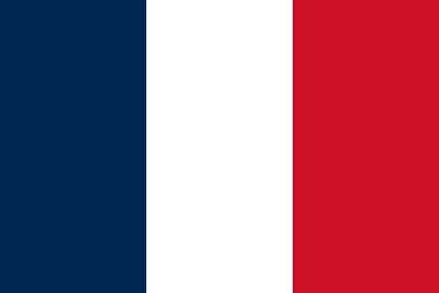
The flag of France is a vertical tricolor of blue, white and red, with blue at the hoist side. It is known as the Tricolore. The three stripes are of equal width, the proportions are 2:3 and there is no emblem or inscription.
Countries bordering France
Frequently asked questions
What countries border France?
In Europe, France borders Belgium, Luxembourg, Germany, Switzerland, Italy, Monaco, Spain and Andorra. Through French Guiana in South America, it also shares borders with Brazil and Suriname.
How many regions does France have?
France has 18 regions: 13 in metropolitan France, including Corsica, and 5 overseas regions, which are Guadeloupe, Martinique, French Guiana, Réunion and Mayotte. The regions are divided into departments.
What is the highest mountain in France?
Mont Blanc, in the Alps on the border with Italy, is the highest mountain in France at 4,806 m (15,768 ft). It is also the highest peak in Western Europe.
What is the capital of France?
The capital of France is Paris.
What language is spoken in France?
The official language is French.
Can I print the map of France?
Yes. Every map on this page can be downloaded for free as PNG or PDF (US Letter) and printed, including the blank map and the coloring map. Please credit the source (Atlas of Maps, CC BY 4.0).
Use this map
You can download, print and share this map for free, in class, in school projects, in presentations and on websites, as long as you credit the source: Map of France · Atlas of Maps (atlasofmaps.com), license CC BY 4.0.
See also: Map of Europe · Map of the European Union · World map