Map of Japan with prefectures and capitals
Japan is an island country in East Asia, in the northwestern Pacific Ocean. It has no land borders: the Sea of Japan separates it from Russia, North Korea and South Korea, and the East China Sea lies between Japan and China. The political map shows its 47 prefectures, the capital, Tokyo, and major cities.

- Capital
- Tokyo
- Population
- 123.8 million (2024)
- Area
- 377,972 km² (145,936 sq mi)
- Population density
- 328 per km² (848 per sq mi)
- Official language
- Japanese
- Currency
- yen
- Demonym
- Japanese
- Prefectures
- 47
- Highest point
- Mount Fuji (3,777 m (12,392 ft))
- Calling code
- +81
- Internet domain
- .jp
Where is Japan?
Japan is an island country in East Asia, in the northwestern Pacific Ocean. It has no land borders: the Sea of Japan separates it from Russia, North Korea and South Korea, and the East China Sea lies between Japan and China.

Prefectures of Japan and their capitals
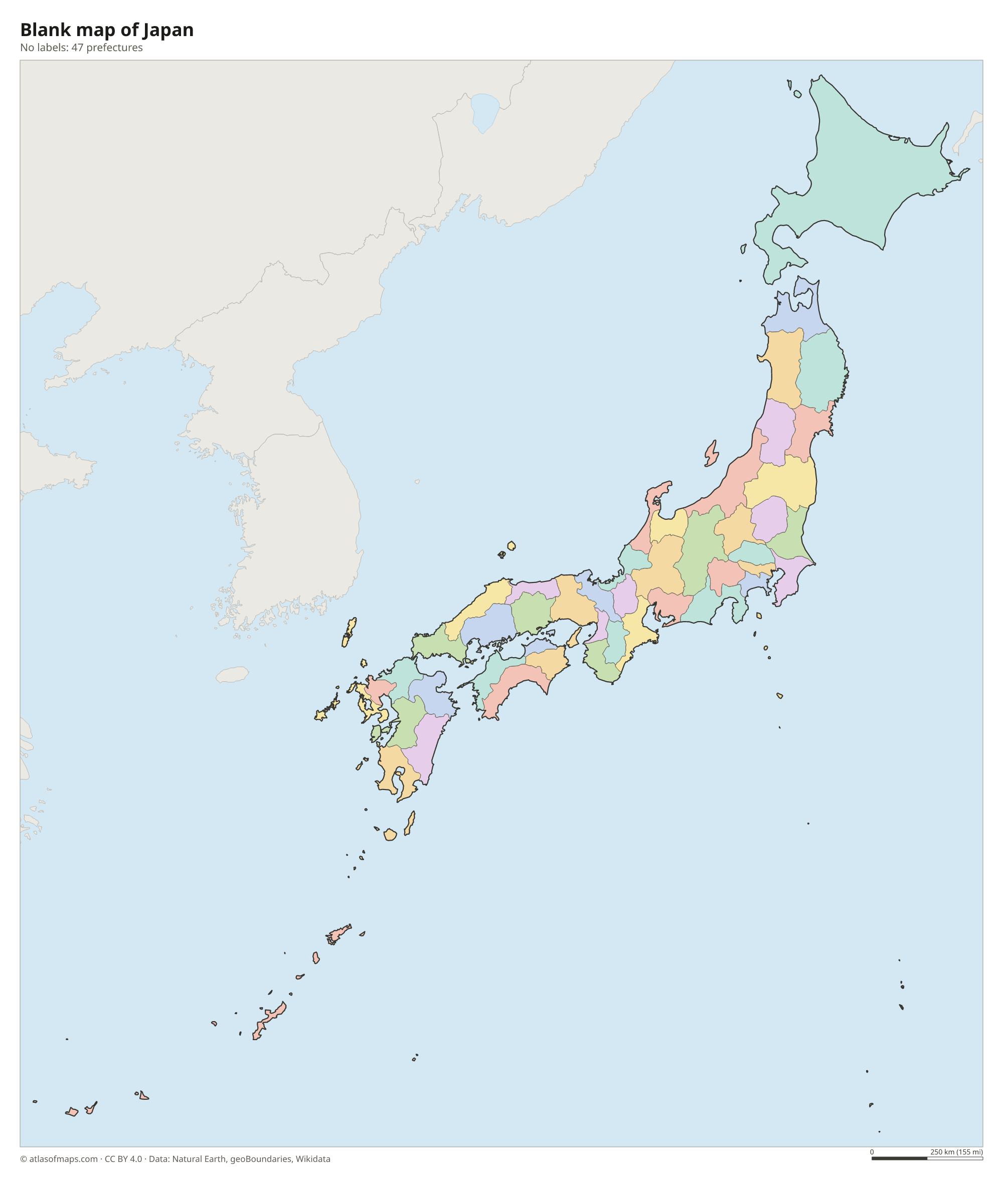
Japan is divided into 47 prefectures, including the Tokyo Metropolis, the large northern prefecture of Hokkaido and the urban prefectures of Osaka and Kyoto. They are often grouped into eight regions, such as Kanto, Kansai and Kyushu.
| Prefecture | Capital | Population | Area |
|---|---|---|---|
| Aichi | Nagoya | 7,521,192 | 5,173 km² (1,997 sq mi) |
| Akita | Akita | 946,380 | 11,638 km² (4,493 sq mi) |
| Aomori | Aomori | 1,232,303 | 9,646 km² (3,724 sq mi) |
| Chiba | Chiba | 6,279,002 | 5,158 km² (1,992 sq mi) |
| Ehime | Matsuyama | 1,321,580 | 5,676 km² (2,192 sq mi) |
| Fukui | Fukui | 764,533 | 4,189 km² (1,617 sq mi) |
| Fukuoka | Fukuoka | 5,108,038 | 4,971 km² (1,919 sq mi) |
| Fukushima | Fukushima | 1,825,325 | 13,784 km² (5,322 sq mi) |
| Gifu | Gifu | 1,975,397 | 10,621 km² (4,101 sq mi) |
| Gunma | Maebashi | 1,934,920 | 6,362 km² (2,456 sq mi) |
| Hiroshima | Hiroshima | 2,790,804 | 8,477 km² (3,273 sq mi) |
| Hokkaidō | — | 5,383,579 | 77,984 km² (30,110 sq mi) |
| Hyōgo | Kobe | 5,453,392 | 8,401 km² (3,244 sq mi) |
| Ibaraki | Mito | 2,862,372 | 6,097 km² (2,354 sq mi) |
| Ishikawa | Kanazawa | 1,132,497 | 4,185 km² (1,616 sq mi) |
| Iwate | Morioka | 1,205,698 | 15,275 km² (5,898 sq mi) |
| Kagawa | Takamatsu | 949,358 | 1,862 km² (719 sq mi) |
| Kagoshima | Kagoshima | 1,586,435 | 9,132 km² (3,526 sq mi) |
| Kanagawa | Yokohama | 9,216,009 | 2,416 km² (933 sq mi) |
| Kōchi | Kōchi-shi | 688,870 | 7,104 km² (2,743 sq mi) |
| Kumamoto | Kumamoto | 1,732,644 | 7,404 km² (2,859 sq mi) |
| Kyōto | Kyoto | 2,563,192 | 4,612 km² (1,781 sq mi) |
| Mie | Tsu | 1,768,632 | 5,777 km² (2,231 sq mi) |
| Miyagi | Sendai | 2,288,456 | 7,282 km² (2,812 sq mi) |
| Miyazaki | Miyazaki | 1,061,032 | 7,736 km² (2,987 sq mi) |
| Nagano | Nagano | 2,024,073 | 13,585 km² (5,245 sq mi) |
| Nagasaki | Nagasaki | 1,307,309 | 4,105 km² (1,585 sq mi) |
| Nara | Nara | 1,319,305 | 3,691 km² (1,425 sq mi) |
| Niigata | Niigata | 2,192,319 | 12,582 km² (4,858 sq mi) |
| Ōita | Ōita-shi | 1,121,589 | 6,341 km² (2,448 sq mi) |
| Okayama | Okayama | 1,878,884 | 7,113 km² (2,746 sq mi) |
| Okinawa | Naha | 1,460,652 | 2,281 km² (881 sq mi) |
| Ōsaka | Osaka | 8,826,684 | 1,905 km² (736 sq mi) |
| Saga | Saga | 809,824 | 2,440 km² (942 sq mi) |
| Saitama | Saitama | 7,343,100 | 3,798 km² (1,466 sq mi) |
| Shiga | Otsu | 1,411,168 | 4,017 km² (1,551 sq mi) |
| Shimane | Matsue | 664,539 | 6,708 km² (2,590 sq mi) |
| Shizuoka | Shizuoka | 3,609,465 | 7,780 km² (3,004 sq mi) |
| Tochigi | Utsunomiya | 1,927,754 | 6,408 km² (2,474 sq mi) |
| Tokushima | Tokushima | 721,721 | 4,145 km² (1,600 sq mi) |
| Tokyo | Shinjuku | 14,264,798 | 2,194 km² (847 sq mi) |
| Tottori | Tottori | 549,925 | 3,507 km² (1,354 sq mi) |
| Toyama | Toyama | 1,031,262 | 4,247 km² (1,640 sq mi) |
| Wakayama | Wakayama | 910,687 | 4,726 km² (1,825 sq mi) |
| Yamagata | Yamagata | 1,063,231 | 9,323 km² (3,600 sq mi) |
| Yamaguchi | Yamaguchi | 1,336,522 | 6,111 km² (2,359 sq mi) |
| Yamanashi | Kofu | 803,963 | 4,465 km² (1,724 sq mi) |
Population from Wikidata (latest figure available for each prefecture).
Blank and coloring maps of Japan
Blank map of Japan

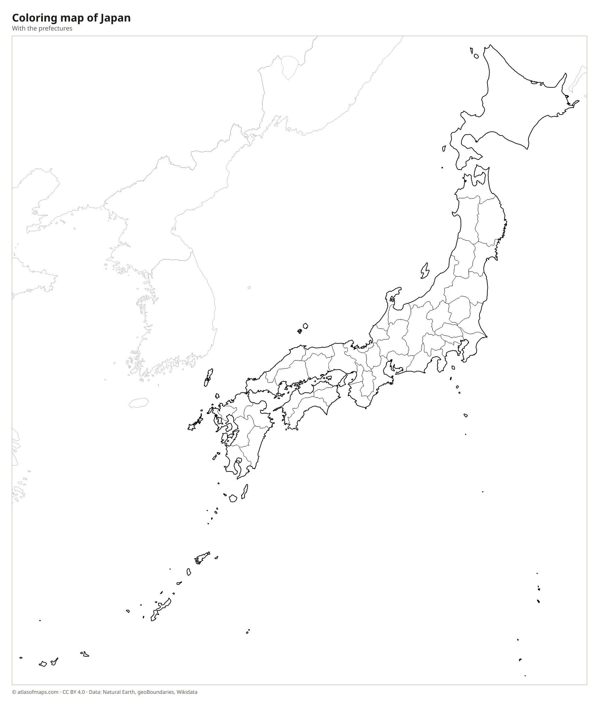
Coloring map of Japan

Geography of Japan
Japan covers 377,972 km² (145,936 sq mi) and is made up of four main islands, Honshu, Hokkaido, Kyushu and Shikoku, plus thousands of smaller islands, including the Ryukyu chain with Okinawa. Mountains cover most of the land; the Japanese Alps run through central Honshu, and many peaks are volcanoes. Mount Fuji, a nearly symmetrical volcanic cone west of Tokyo, is the highest point at 3,777 m (12,392 ft). The largest lowland is the Kanto Plain around Tokyo, and most people live on narrow coastal plains.
Japan lies where several tectonic plates meet on the Pacific Ring of Fire, so earthquakes, volcanic eruptions and tsunamis are part of life. Rivers are short and fast; the Shinano is the longest, and Lake Biwa near Kyoto is the largest lake. The climate varies a great deal from north to south: Hokkaido has long, snowy winters, central Honshu has hot, humid summers, and Okinawa is subtropical. A rainy season arrives in early summer, and typhoons often strike in late summer and fall.
Fun facts
- Japan has more than 100 active volcanoes.
- Honshu is the seventh-largest island in the world.
- Okinawa Island lies much closer to Taiwan than to Tokyo.
Flag of Japan
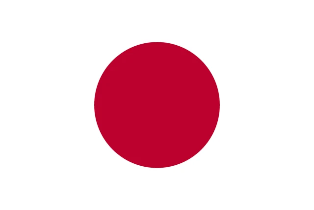
Japan's flag, known as Nisshōki or Hinomaru, meaning circle of the sun, has a plain white field with a crimson-red disc in the center. The disc sits exactly in the middle, and its diameter is three-fifths of the flag's height. The flag has a 2:3 ratio and no other symbols.
Frequently asked questions
Does Japan border any countries?
Japan has no land borders. Its closest neighbors across the sea are Russia to the north, North Korea and South Korea to the west, China to the west and southwest, and Taiwan to the southwest.
How many prefectures does Japan have?
Japan has 47 prefectures: one metropolis (Tokyo), one circuit (Hokkaido), two urban prefectures (Osaka and Kyoto) and 43 regular prefectures.
What are the main islands of Japan?
Japan's four main islands are Honshu, the largest and home to Tokyo, Hokkaido in the north, Kyushu in the southwest and Shikoku, the smallest, south of western Honshu.
What is the capital of Japan?
The capital of Japan is Tokyo.
What language is spoken in Japan?
The official language is Japanese.
Can I print the map of Japan?
Yes. Every map on this page can be downloaded for free as PNG or PDF (US Letter) and printed, including the blank map and the coloring map. Please credit the source (Atlas of Maps, CC BY 4.0).
Use this map
You can download, print and share this map for free, in class, in school projects, in presentations and on websites, as long as you credit the source: Map of Japan · Atlas of Maps (atlasofmaps.com), license CC BY 4.0.
See also: Map of Asia · World map