Map of the Caribbean with countries and capitals
The Caribbean is the region of islands in and around the Caribbean Sea, south and southeast of Florida and east of Central America, stretching from the Bahamas to Trinidad near the coast of Venezuela. The Atlantic Ocean lies to the north and east. The map shows 18 countries and territories: 13 independent countries and five territories.

The islands fall into three main groups. The Greater Antilles (Cuba, Hispaniola, Jamaica and Puerto Rico) are the largest and have real mountain ranges; Pico Duarte in the Dominican Republic is the highest point in the Caribbean. The Lesser Antilles form a long arc of smaller islands from the Virgin Islands to Grenada. Many of them, such as Dominica, Saint Lucia and Saint Vincent, are volcanic, while others, like Barbados, are built of coral limestone. The Bahamas are a low, flat chain of coral islands in the Atlantic Ocean. The climate is tropical, with warm weather all year, a rainy season and an Atlantic hurricane season that runs from June to November.
The Caribbean is part of North America in the seven-continent model. Its 13 independent countries range from Cuba, the largest at 109,884 km² (42,426 sq mi), to Saint Kitts and Nevis, the smallest at 269 km² (104 sq mi). Haiti and the Dominican Republic share the island of Hispaniola. The five territories on the map are Puerto Rico and the U.S. Virgin Islands (United States), the Cayman Islands (United Kingdom), and Aruba and Curaçao (Kingdom of the Netherlands). Spanish, English, French, Haitian Creole and Dutch are all spoken, a legacy of colonial rule. Havana, Santo Domingo, Port-au-Prince and Kingston are among the largest capitals. Bermuda, far to the north in the Atlantic, is not part of the Caribbean.
Blank and coloring maps of the Caribbean
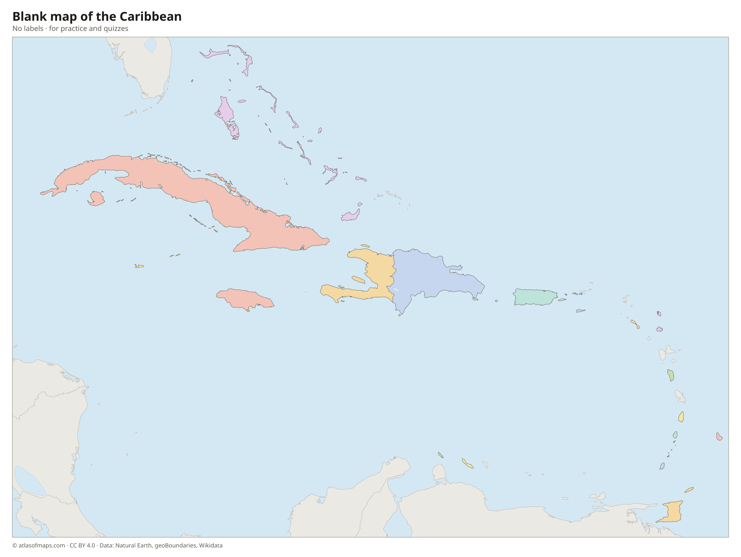
Blank map of the Caribbean

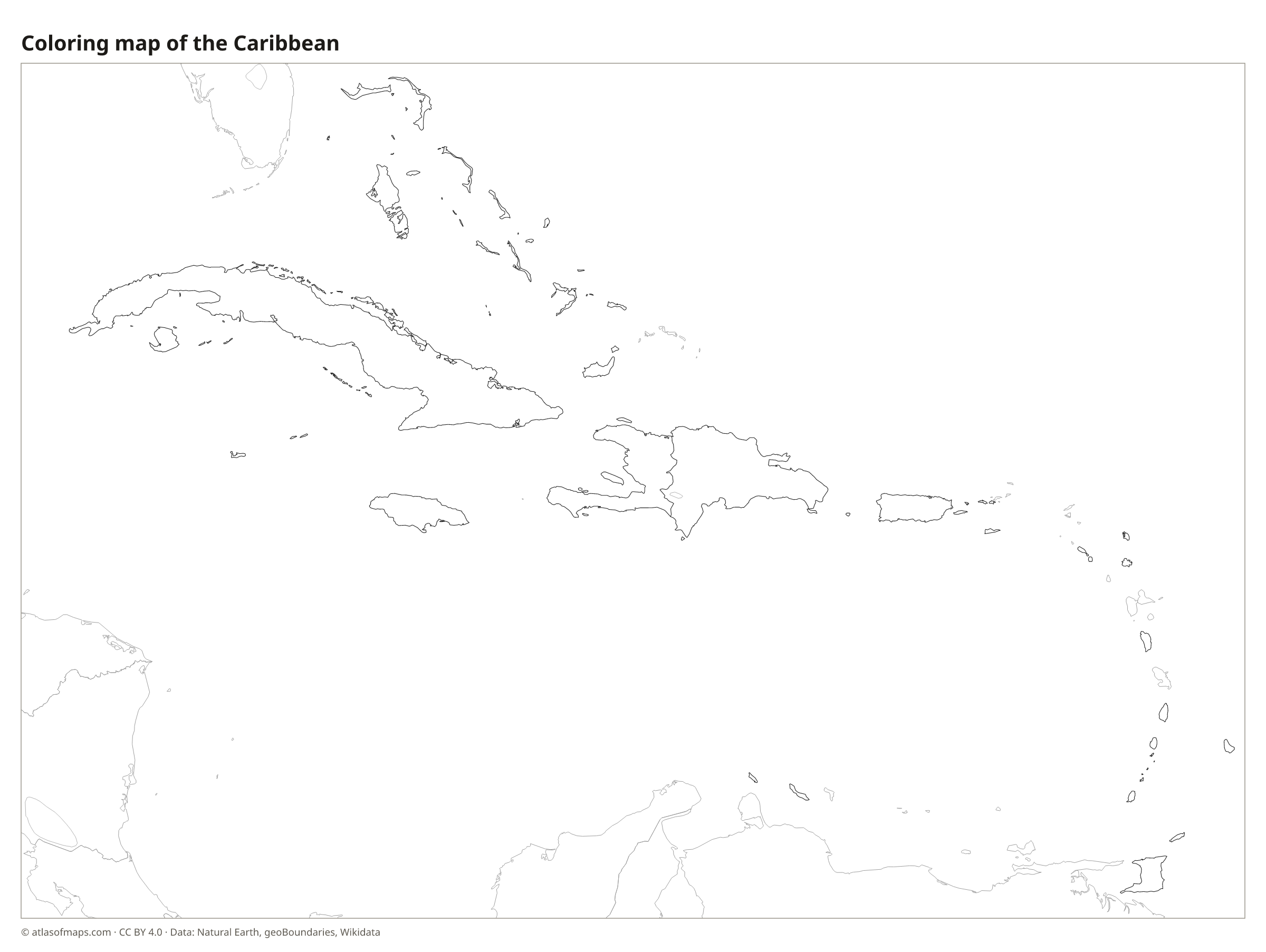
Coloring map of the Caribbean

Countries of the Caribbean and their capitals
List of the countries of the Caribbean sorted by area and population →
| Country | Capital | Population | Area |
|---|---|---|---|
| Antigua and Barbuda | St. John's | 101,489 | 440 km² (170 sq mi) |
| Aruba (territory) | Oranjestad | 106,739 | 179 km² (69 sq mi) |
| Bahamas | Nassau | 399,440 | 13,878 km² (5,358 sq mi) |
| Barbados | Bridgetown | 303,431 | 439 km² (169 sq mi) |
| Cayman Islands (territory) | George Town | 88,833 | 264 km² (102 sq mi) |
| Cuba | Havana | 10,985,974 | 109,884 km² (42,426 sq mi) |
| Curaçao (territory) | Willemstad | 152,849 | 444 km² (171 sq mi) |
| Dominica | Roseau | 74,656 | 751 km² (290 sq mi) |
| Dominican Republic | Santo Domingo | 10,760,028 | 48,671 km² (18,792 sq mi) |
| Grenada | St. George's | 114,299 | 349 km² (135 sq mi) |
| Haiti | Port-au-Prince | 10,981,229 | 27,750 km² (10,714 sq mi) |
| Jamaica | Kingston | 2,697,983 | 10,992 km² (4,244 sq mi) |
| Puerto Rico (territory) | San Juan | 3,285,874 | 9,104 km² (3,515 sq mi) |
| Saint Kitts and Nevis | Basseterre | 46,922 | 269 km² (104 sq mi) |
| Saint Lucia | Castries | 167,591 | 617 km² (238 sq mi) |
| Saint Vincent and the Grenadines | Kingstown | 109,897 | 389 km² (150 sq mi) |
| Trinidad and Tobago | Port of Spain | 1,369,125 | 5,128 km² (1,980 sq mi) |
| U.S. Virgin Islands (territory) | Charlotte Amalie | 87,146 | 346 km² (134 sq mi) |
Territories: Aruba, Cayman Islands, Curaçao, Puerto Rico, and U.S. Virgin Islands.
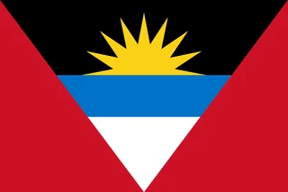
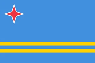
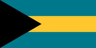
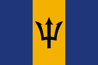
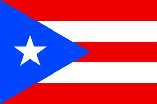
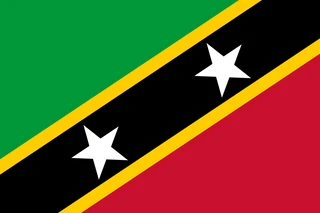
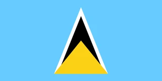
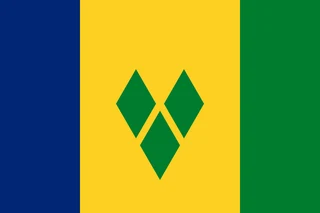
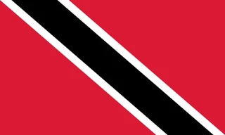
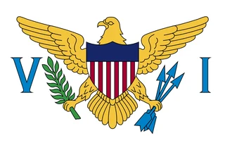
Flags of the Caribbean
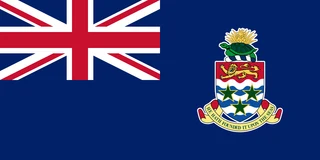
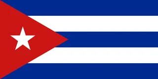
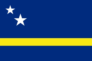
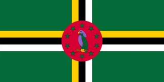
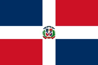
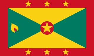
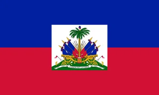
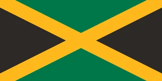
Frequently asked questions
How many countries are in the Caribbean?
The Caribbean has 13 independent countries, from Cuba and Jamaica to small island nations such as Grenada and Saint Kitts and Nevis. The map also shows five territories: Puerto Rico, the U.S. Virgin Islands, the Cayman Islands, Aruba and Curaçao.
What is the largest island in the Caribbean?
Cuba is the largest island and the largest country in the Caribbean, at 109,884 km² (42,426 sq mi) for the whole country. Hispaniola, shared by Haiti and the Dominican Republic, is the second-largest island.
Is the Caribbean part of North America?
Yes. In the continent model used in English-speaking schools, the Caribbean islands belong to North America, even those close to South America, such as Trinidad and Tobago, Aruba and Curaçao. Some geographers group these southern islands with South America.
What is the largest country in the Caribbean?
By area, the largest country is Cuba, with 109,884 km² (42,426 sq mi).
What is the most populous country in the Caribbean?
Cuba, with about 11 million people.
What is the smallest country in the Caribbean?
Saint Kitts and Nevis, with 269 km² (104 sq mi).
Where can I download a printable map of the Caribbean?
On this page: the political map, the blank map and the coloring map can be downloaded for free as PNG and PDF.
Use this map
You can download, print and share this map for free, in class, in school projects, in presentations and on websites, as long as you credit the source: Map of the Caribbean · Atlas of Maps (atlasofmaps.com), license CC BY 4.0.
More maps: Map of Europe · Map of Asia · Map of Africa · Map of Oceania · Map of North America · Map of South America · Map of Central America · Map of the Middle East · Map of the European Union · Map of Latin America · Map of Southeast Asia · World map