Map of Spain with autonomous communities and capitals
Spain is a country in southwestern Europe that covers most of the Iberian Peninsula. It borders Portugal, France and Andorra, has coasts on the Mediterranean Sea and the Atlantic Ocean, and its North African cities of Ceuta and Melilla border Morocco. The political map shows its 17 autonomous communities and 2 autonomous cities, the capital, Madrid, and major cities.

- Capital
- Madrid
- Population
- 48.6 million (2024)
- Area
- 505,990 km² (195,364 sq mi)
- Population density
- 96 per km² (249 per sq mi)
- Official language
- Spanish
- Currency
- euro
- Demonym
- Spanish
- Divisions
- 17 autonomous communities and 2 autonomous cities
- Highest point
- Teide (3,715 m (12,188 ft))
- Calling code
- +34
- Internet domain
- .es
- Official name
- Kingdom of Spain
Where is Spain?
Spain is a country in southwestern Europe that covers most of the Iberian Peninsula. It borders Portugal, France and Andorra, has coasts on the Mediterranean Sea and the Atlantic Ocean, and its North African cities of Ceuta and Melilla border Morocco.

Autonomous Communities of Spain and their capitals
Spain is divided into 17 autonomous communities, each with its own government, such as Andalusia, Catalonia and Galicia, plus 2 autonomous cities on the North African coast, Ceuta and Melilla. The communities are further divided into provinces.
| Autonomous community | Capital | Population | Area |
|---|---|---|---|
| Andalusia | Seville | 8,619,616 | 87,268 km² (33,694 sq mi) |
| Aragon | Zaragoza | 1,347,834 | 47,719 km² (18,424 sq mi) |
| Asturias | Oviedo City | 1,008,028 | 10,604 km² (4,094 sq mi) |
| Balearic Islands | Palma | 1,221,403 | 4,992 km² (1,927 sq mi) |
| Basque Country | Vitoria-Gasteiz | 2,230,452 | 7,234 km² (2,793 sq mi) |
| Canary Islands | Santa Cruz de Tenerife | 2,228,862 | 7,447 km² (2,875 sq mi) |
| Cantabria | Santander | 591,563 | 5,321 km² (2,054 sq mi) |
| Castile and León | — | 2,388,350 | 94,223 km² (36,380 sq mi) |
| Castilla–La Mancha | Toledo | 2,098,853 | 79,463 km² (30,681 sq mi) |
| Catalonia | Barcelona | 8,034,743 | 31,895 km² (12,315 sq mi) |
| Ceuta | Ceuta | 83,595 | 19 km² (7.3 sq mi) |
| Community of Madrid | Madrid | 7,001,715 | 8,028 km² (3,100 sq mi) |
| Extremadura | Mérida | 1,052,790 | 41,634 km² (16,075 sq mi) |
| Galicia | Santiago de Compostela | 2,703,353 | 29,574 km² (11,419 sq mi) |
| La Rioja | Logroño | 324,399 | 5,045 km² (1,948 sq mi) |
| Melilla | Melilla | 86,780 | 12 km² (4.6 sq mi) |
| Murcia | Murcia City | 1,586,989 | 11,313 km² (4,368 sq mi) |
| Navarre | Pamplona | 678,338 | 10,391 km² (4,012 sq mi) |
| Valencian Community | Valencia | 5,316,541 | 23,255 km² (8,979 sq mi) |
Population from Wikidata (latest figure available for each autonomous community).
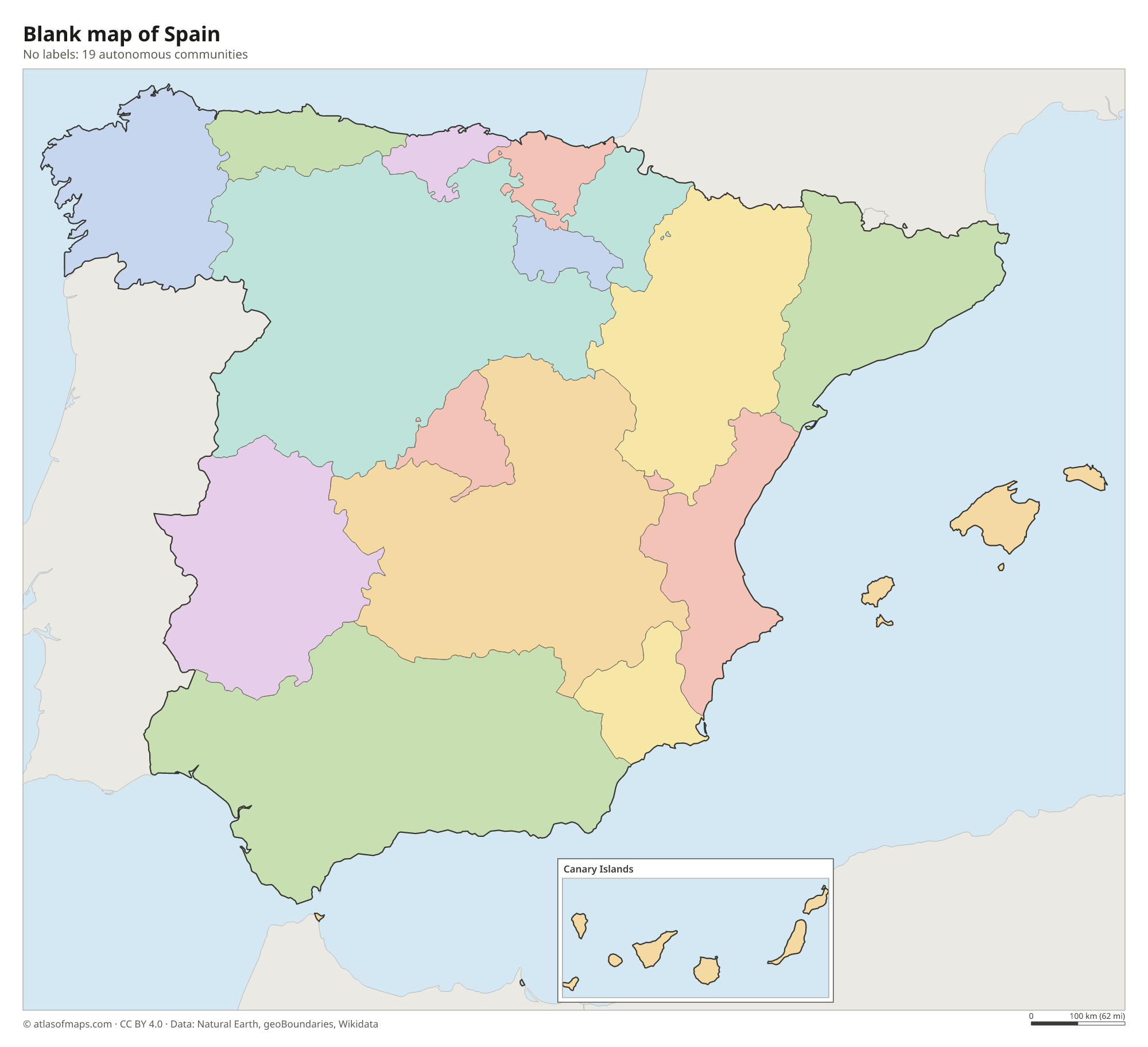
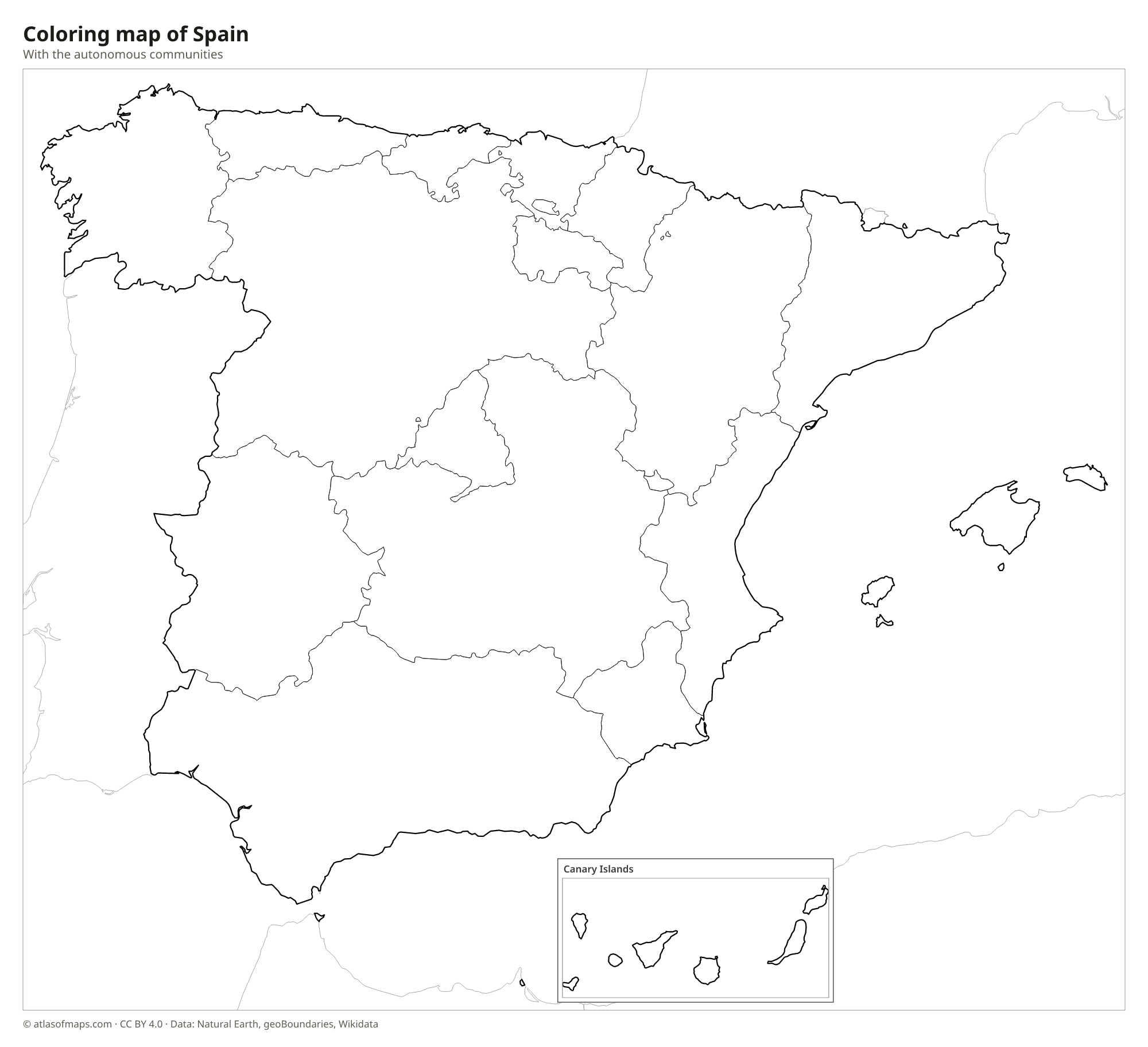
Blank and coloring maps of Spain
Blank map of Spain

Coloring map of Spain

Geography of Spain
The heart of Spain is the Meseta Central, a high plateau that covers much of the interior and is ringed and crossed by mountain ranges. The Pyrenees form the border with France, the Cantabrian Mountains run along the north coast, and the Sistema Central divides the Meseta north of Madrid. In the south, the Sierra Nevada holds Mulhacén, the highest peak on the mainland. The highest point of the country, though, is Teide, a volcano on Tenerife in the Canary Islands, at 3,715 m (12,188 ft).
Most large rivers flow west to the Atlantic: the Douro, Tagus and Guadiana continue into Portugal, and the Guadalquivir passes Seville. The Ebro, in the northeast, flows to the Mediterranean. Spain also includes the Balearic Islands in the Mediterranean and the Canary Islands in the Atlantic off northwest Africa. The climate varies widely: the green north is wet and mild, the interior has hot summers and cold winters, and the Mediterranean south and east are sunny and dry, with semi-desert areas around Almería.
Fun facts
- At its narrowest, the Strait of Gibraltar separates Spain from Morocco by only about 14 km (9 mi).
- Spain is the second-largest country in the European Union by area, after France.
- Gibraltar, at the southern tip of Spain, is a British overseas territory that Spain claims.
Flag of Spain
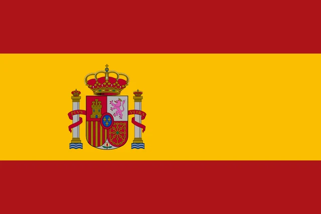
The flag of Spain has three horizontal stripes, red, yellow and red, with the yellow stripe twice as wide as each red one. On the yellow stripe, toward the hoist, is the national coat of arms, framed by the two Pillars of Hercules with the motto Plus Ultra and topped by a royal crown.
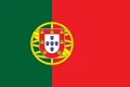
Countries bordering Spain
Frequently asked questions
What countries border Spain?
Spain borders Portugal, France and Andorra in Europe, and Morocco through its North African cities of Ceuta and Melilla. It also shares a short border with Gibraltar, a British overseas territory that Spain claims.
How many autonomous communities does Spain have?
Spain has 17 autonomous communities and 2 autonomous cities, Ceuta and Melilla. The largest community by area is Castile and León, and the most populous is Andalusia.
Are the Canary Islands part of Spain?
Yes. The Canary Islands are one of Spain's 17 autonomous communities, even though they lie in the Atlantic Ocean off the coast of northwest Africa, west of Morocco.
What is the capital of Spain?
The capital of Spain is Madrid.
What language is spoken in Spain?
The official language is Spanish.
Can I print the map of Spain?
Yes. Every map on this page can be downloaded for free as PNG or PDF (US Letter) and printed, including the blank map and the coloring map. Please credit the source (Atlas of Maps, CC BY 4.0).
Use this map
You can download, print and share this map for free, in class, in school projects, in presentations and on websites, as long as you credit the source: Map of Spain · Atlas of Maps (atlasofmaps.com), license CC BY 4.0.
See also: Map of Europe · Map of the European Union · World map