Map of Pakistan with provinces and capitals
Pakistan is a country in South Asia. It borders India to the east, China to the northeast, Afghanistan to the north and west, and Iran to the southwest, with a coastline on the Arabian Sea to the south. The political map shows its 8 provinces, the capital, Islamabad and Rawalpindi, and major cities.

- Capital
- Islamabad and Rawalpindi
- Population
- 223.8 million (2021)
- Area
- 881,913 km² (340,509 sq mi)
- Population density
- 254 per km² (657 per sq mi)
- Official languages
- English and Urdu
- Currency
- Pakistani rupee
- Demonym
- Pakistani
- Provinces
- 8
- Highest point
- K2 (8,611 m (28,251 ft))
- Calling code
- +92
- Internet domain
- .pk
- Official name
- Islamic Republic of Pakistan
Where is Pakistan?
Pakistan is a country in South Asia. It borders India to the east, China to the northeast, Afghanistan to the north and west, and Iran to the southwest, with a coastline on the Arabian Sea to the south.
Neighboring countries: Afghanistan, China, India, Iran.

Provinces of Pakistan and their capitals
The map shows 8 units: four provinces (Punjab, Sindh, Khyber Pakhtunkhwa and Balochistan), Islamabad Capital Territory, the former Federally Administered Tribal Areas, now part of Khyber Pakhtunkhwa, and Gilgit-Baltistan and Azad Kashmir, which Pakistan administers within the disputed Kashmir region.
| Province | Capital | Population | Area |
|---|---|---|---|
| Azad Kashmir | Muzaffarabad | 4,567,982 | 13,297 km² (5,134 sq mi) |
| Balochistan | Quetta | 13,162,222 | 347,190 km² (134,051 sq mi) |
| Federally Administered Tribal Areas | — | 4,452,913 | 27,220 km² (10,510 sq mi) |
| Gilgit-Baltistan | Gilgit | 1,155,755 | 72,971 km² (28,174 sq mi) |
| Islamabad Capital Territory | Islamabad | — | 1,166 km² (450 sq mi) |
| Khyber Pakhtunkhwa | Peshawar | 26,896,829 | 74,521 km² (28,773 sq mi) |
| Punjab | Lahore | 127,688,922 | 205,344 km² (79,284 sq mi) |
| Sindh | Karachi | 55,245,497 | 140,914 km² (54,407 sq mi) |
Population from Wikidata (latest figure available for each province).
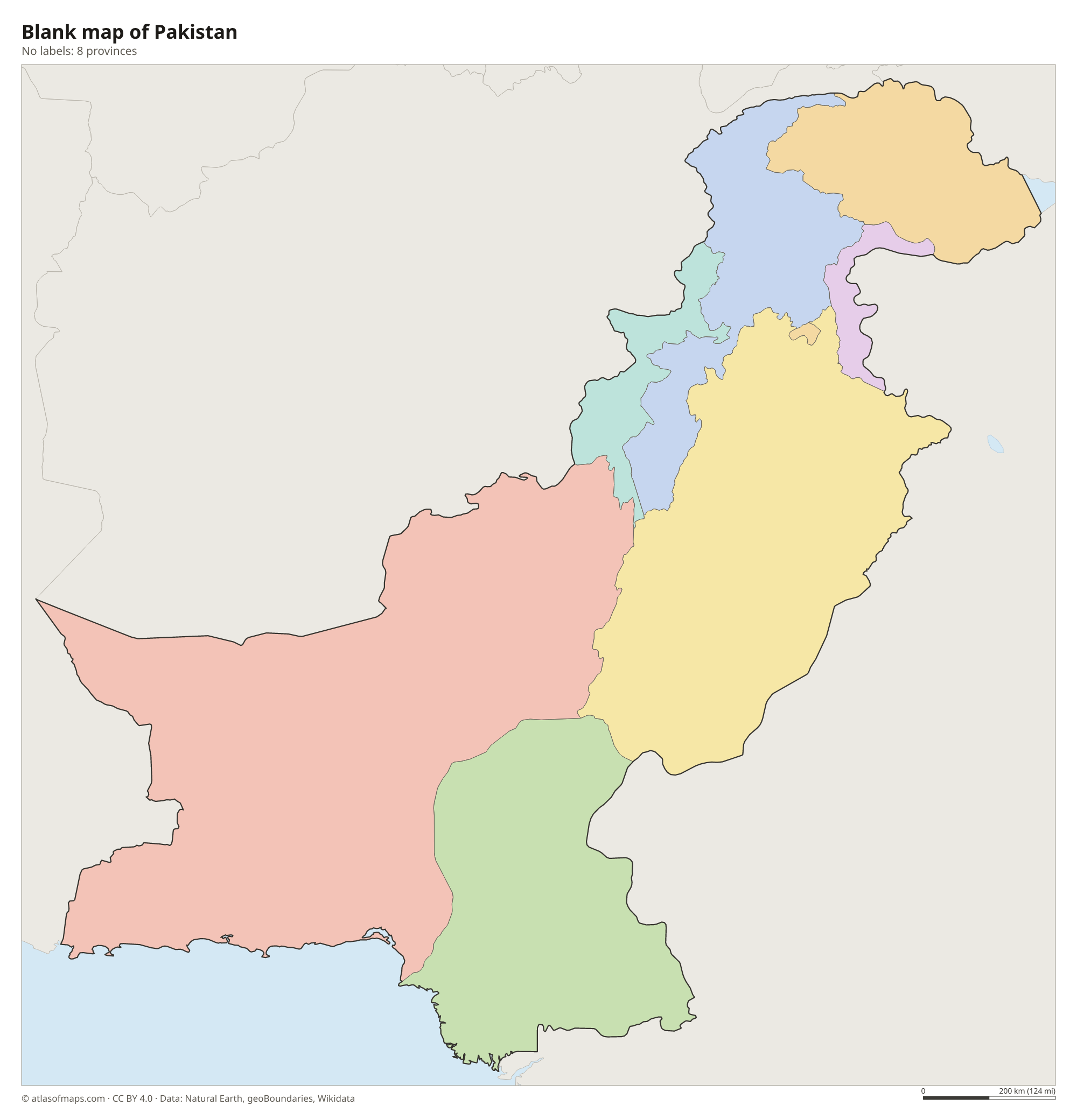
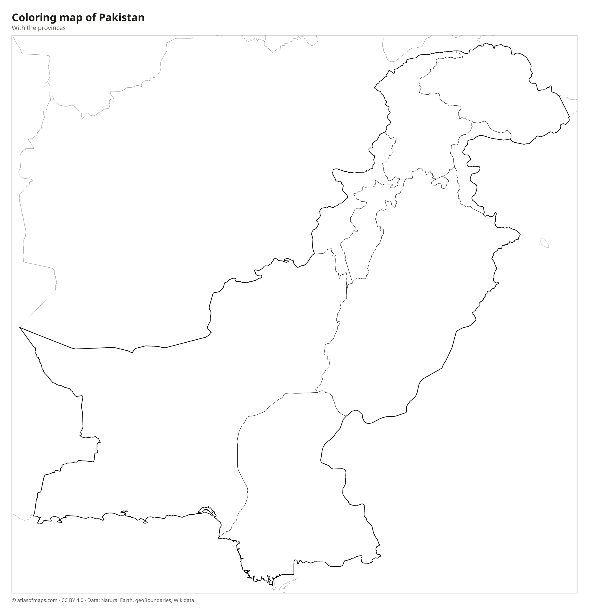
Blank and coloring maps of Pakistan
Blank map of Pakistan

Coloring map of Pakistan

Geography of Pakistan
Pakistan covers 881,913 km² (340,509 sq mi). The far north is a meeting point of great mountain ranges: the Karakoram, the Himalayas and the Hindu Kush. There, K2, at 8,611 m (28,251 ft) on the border with China, is the second-highest mountain in the world, in an area that is part of the disputed Kashmir region. West of the Indus lie dry mountains and the broad Balochistan Plateau, while the east is the flat, irrigated Indus plain, with the Thar and Cholistan deserts along the border with India.
The Indus River flows from the northern mountains through the whole length of the country to a delta on the Arabian Sea near Karachi. In Punjab, its tributaries, including the Jhelum, Chenab, Ravi and Sutlej, feed one of the largest irrigation systems in the world. Tarbela Dam on the Indus is one of the largest earth-filled dams. Most of Pakistan has a dry climate, very hot in summer, with monsoon rains from about July to September, while the northern mountains are cold and snowy.
Fun facts
- Five of the world's fourteen peaks higher than 8,000 m (26,247 ft), including K2 and Nanga Parbat, are in Pakistan.
- The Karakoram Highway, one of the highest paved roads in the world, links Pakistan with China over the Khunjerab Pass.
- Mohenjo-daro, in Sindh, was one of the largest cities of the ancient Indus Valley Civilization.
Flag of Pakistan
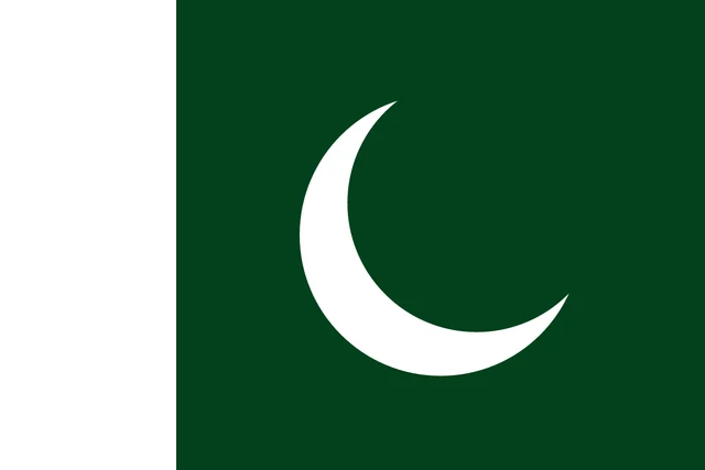
The flag of Pakistan is dark green with a vertical white band at the hoist that takes up a quarter of its length. In the center of the green field is a white crescent moon and a white five-pointed star, both tilted toward the upper fly corner. The flag has a 2:3 ratio.
Countries bordering Pakistan
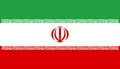
Frequently asked questions
What countries border Pakistan?
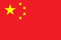
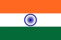
Pakistan borders four countries: India to the east, China to the northeast, Afghanistan to the north and west, and Iran to the southwest. Its southern coast faces the Arabian Sea.
How many provinces does Pakistan have?
Pakistan has four provinces: Punjab, Sindh, Khyber Pakhtunkhwa and Balochistan. With Islamabad Capital Territory, Gilgit-Baltistan, Azad Kashmir and the former tribal areas, the map shows 8 units in total.
What is the capital of Pakistan?
Islamabad is the capital. It is a planned city built in the 1960s at the foot of the Margalla Hills, next to the older city of Rawalpindi, with which it forms a twin-city area.
What language is spoken in Pakistan?
The official languages are English and Urdu.
Can I print the map of Pakistan?
Yes. Every map on this page can be downloaded for free as PNG or PDF (US Letter) and printed, including the blank map and the coloring map. Please credit the source (Atlas of Maps, CC BY 4.0).
Use this map
You can download, print and share this map for free, in class, in school projects, in presentations and on websites, as long as you credit the source: Map of Pakistan · Atlas of Maps (atlasofmaps.com), license CC BY 4.0.
See also: Map of Asia · World map