Map of Europe with countries and capitals
Europe forms the western end of Eurasia, the landmass it shares with Asia. It is bounded by the Arctic Ocean to the north, the Atlantic Ocean to the west and the Mediterranean Sea to the south, while the Ural Mountains, the Caspian Sea, the Caucasus and the Black Sea are usually taken as its border with Asia. The map shows 46 countries plus the Faroe Islands.

Much of Europe is lowland. The North European Plain sweeps from France through Germany and Poland into Russia, while the Alps, the Pyrenees, the Carpathians and the Balkan ranges rise across the south and the Scandinavian Mountains form the spine of Norway and Sweden. The Volga is the continent's longest river and empties into the Caspian Sea. The Danube flows through or along ten countries on its way to the Black Sea, and the Rhine links the Alps with the North Sea. Warm Atlantic currents give the west mild, wet winters, the east has a continental climate with cold winters and hot summers, the south has dry Mediterranean summers, and the far north is subarctic.
Europe is usually divided into Northern, Western, Central, Southern and Eastern Europe, with the Balkans and the Baltic states as well-known subregions. Russia is by far the largest country at about 17.1 million km² (6.6 million sq mi), but most of its territory lies in Asia; Ukraine, at 603,550 km² (233,032 sq mi), is the largest country entirely in Europe. Vatican City, an enclave in Rome of 0.44 km² (0.17 sq mi), is the smallest country in the world. Moscow, London, Paris, Berlin and Madrid are among the largest capitals. This atlas counts Cyprus with Europe and Turkey with Asia. Kosovo is shown as a separate country, although Serbia does not recognize its independence.
Blank and coloring maps of Europe
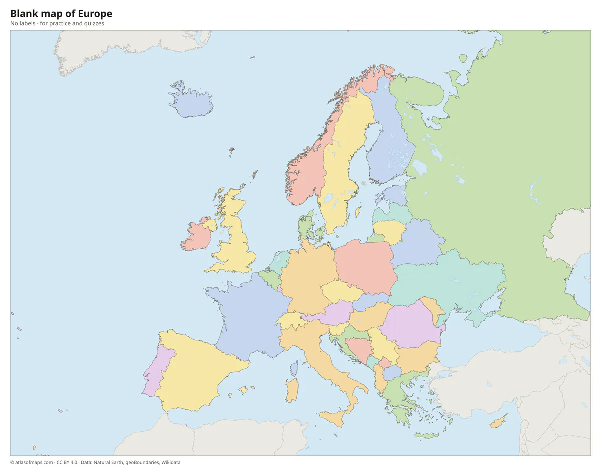
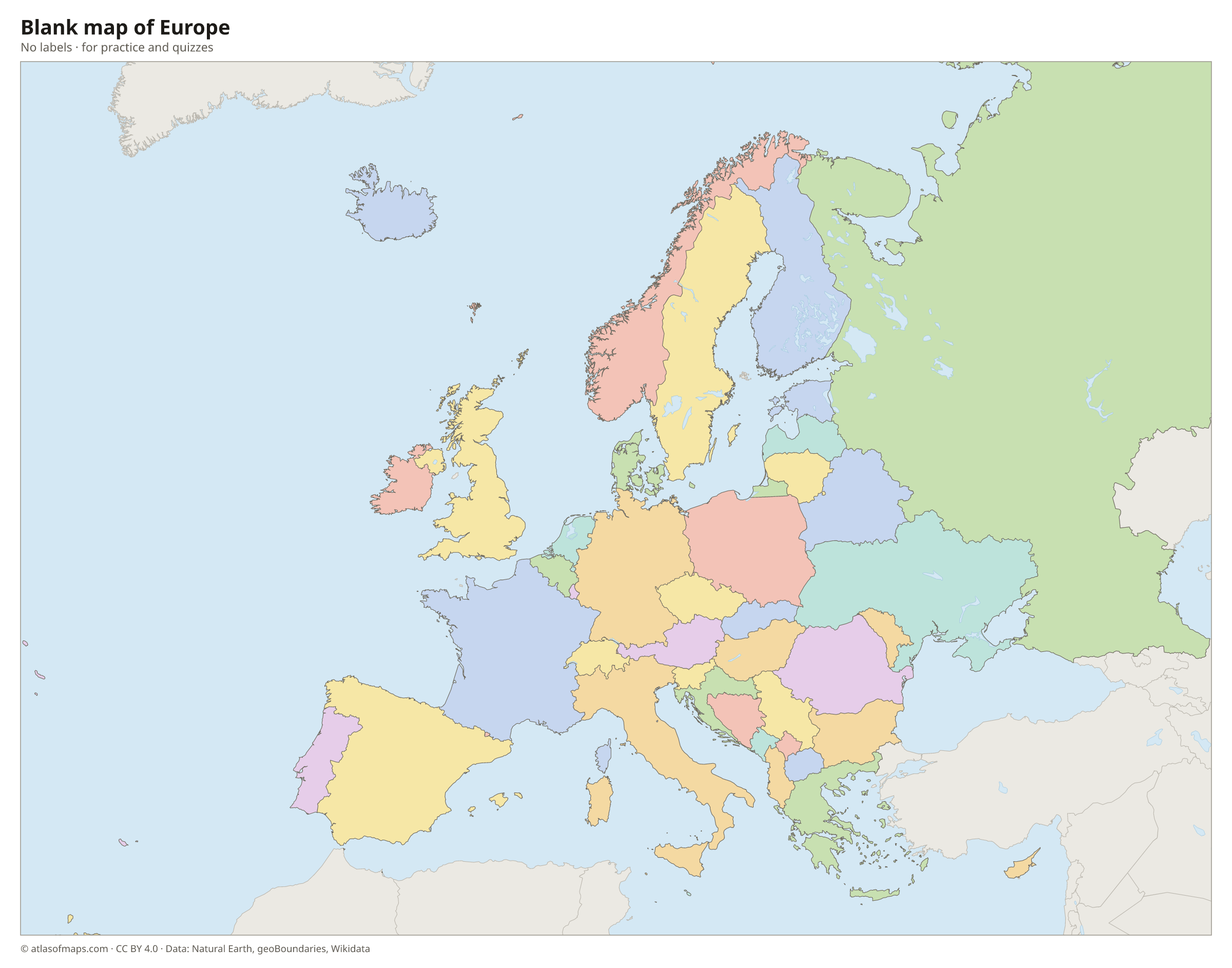
Blank map of Europe
Coloring map of Europe

Countries of Europe and their capitals
List of the countries of Europe sorted by area and population →
| Country | Capital | Population | Area |
|---|---|---|---|
| Albania | Tirana | 2,811,655 | 28,748 km² (11,100 sq mi) |
| Andorra | Andorra la Vella | 89,752 | 468 km² (181 sq mi) |
| Austria | Vienna | 8,979,894 | 83,879 km² (32,386 sq mi) |
| Belarus | Minsk | 9,056,080 | 207,597 km² (80,154 sq mi) |
| Belgium | Brussels | 11,825,551 | 30,688 km² (11,849 sq mi) |
| Bosnia and Herzegovina | Sarajevo | 3,816,459 | 51,197 km² (19,767 sq mi) |
| Bulgaria | Sofia | 6,423,207 | 110,994 km² (42,855 sq mi) |
| Croatia | Zagreb | 3,871,833 | 56,594 km² (21,851 sq mi) |
| Cyprus | Nicosia | 1,344,976 | 9,242 km² (3,568 sq mi) |
| Czech Republic | Prague | 10,909,500 | 78,871 km² (30,452 sq mi) |
| Denmark | Copenhagen | 5,822,863 | 42,925 km² (16,573 sq mi) |
| Estonia | Tallinn | 1,369,995 | 45,335 km² (17,504 sq mi) |
| Faroe Islands (territory) | Tórshavn | 54,149 | 1,399 km² (540 sq mi) |
| Finland | Helsinki | 5,652,881 | 338,478 km² (130,687 sq mi) |
| France | Paris | 68,605,616 | 643,801 km² (248,573 sq mi) |
| Germany | Berlin | 83,467,117 | 357,588 km² (138,065 sq mi) |
| Greece | Athens | 10,482,487 | 131,957 km² (50,949 sq mi) |
| Hungary | Budapest | 9,603,634 | 93,011 km² (35,912 sq mi) |
| Iceland | Reykjavík | 364,260 | 103,004 km² (39,770 sq mi) |
| Ireland | Dublin | 5,149,139 | 69,797 km² (26,949 sq mi) |
| Italy | Rome | 58,850,717 | 302,068 km² (116,629 sq mi) |
| Kosovo | Pristina | 1,586,659 | 10,909 km² (4,212 sq mi) |
| Latvia | Riga | 1,845,096 | 64,594 km² (24,940 sq mi) |
| Liechtenstein | Vaduz | 37,922 | 160 km² (62 sq mi) |
| Lithuania | Vilnius | 2,860,002 | 65,300 km² (25,212 sq mi) |
| Luxembourg | Luxembourg | 690,959 | 2,593 km² (1,001 sq mi) |
| Malta | Valletta | 553,214 | 316 km² (122 sq mi) |
| Moldova | Chișinău | 2,409,207 | 33,844 km² (13,067 sq mi) |
| Monaco | Monaco | 38,857 | 2 km² (0.8 sq mi) |
| Montenegro | Podgorica | 617,213 | 13,883 km² (5,360 sq mi) |
| Netherlands | Amsterdam | 17,942,942 | 37,378 km² (14,432 sq mi) |
| North Macedonia | Skopje | 1,836,713 | 25,713 km² (9,928 sq mi) |
| Norway | Oslo | 5,627,400 | 385,207 km² (148,729 sq mi) |
| Poland | Warsaw | 37,563,071 | 312,683 km² (120,728 sq mi) |
| Portugal | Lisbon | 10,347,892 | 92,225 km² (35,608 sq mi) |
| Romania | Bucharest | 19,053,815 | 238,397 km² (92,046 sq mi) |
| Russia | Moscow | 146,119,928 | 17,075,400 km² (6,592,849 sq mi) |
| San Marino | San Marino | 34,167 | 61 km² (24 sq mi) |
| Serbia | Belgrade | 6,605,168 | 88,499 km² (34,170 sq mi) |
| Slovakia | Bratislava | 5,409,407 | 49,034 km² (18,932 sq mi) |
| Slovenia | Ljubljana | 2,066,880 | 20,271 km² (7,827 sq mi) |
| Spain | Madrid | 48,592,909 | 505,990 km² (195,364 sq mi) |
| Sweden | Stockholm | 10,609,460 | 447,425 km² (172,752 sq mi) |
| Switzerland | Bern | 9,104,063 | 41,291 km² (15,943 sq mi) |
| Ukraine | Kyiv | 41,167,335 | 603,550 km² (233,032 sq mi) |
| United Kingdom | London | 67,326,569 | 242,495 km² (93,628 sq mi) |
| Vatican City | Vatican City | 882 | 0.4 km² (0.2 sq mi) |
Territories: Faroe Islands.
Flags of Europe
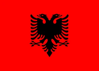 Albania
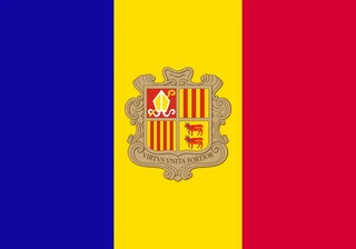 Andorra
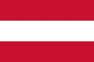 Austria
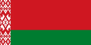 Belarus
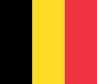 Belgium
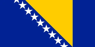 Bosnia and Herzegovina
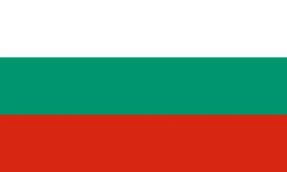 Bulgaria
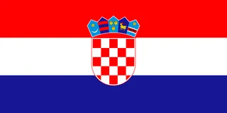 Croatia
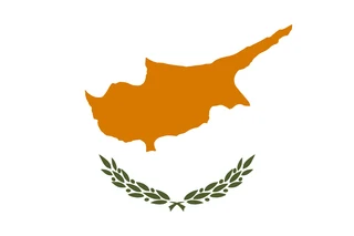 Cyprus
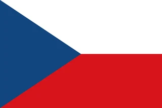 Czech Republic
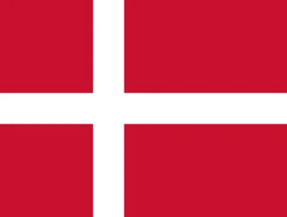 Denmark
 Estonia
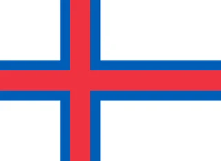 Faroe Islands
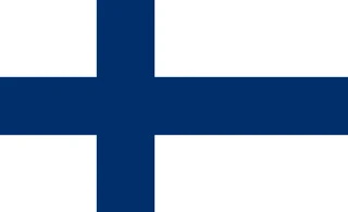 Finland
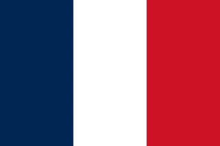 France
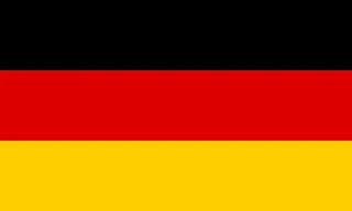 Germany
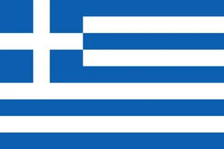 Greece
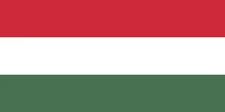 Hungary
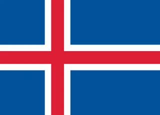 Iceland
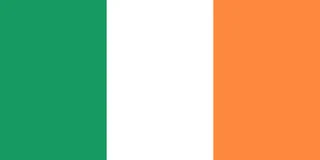 Ireland
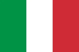 Italy
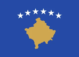 Kosovo
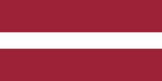 Latvia
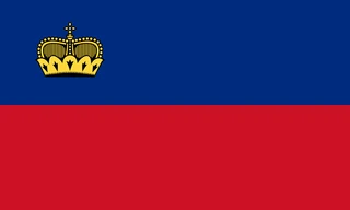 Liechtenstein
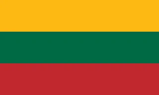 Lithuania
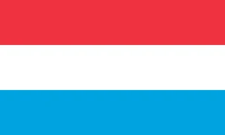 Luxembourg
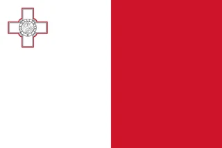 Malta
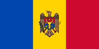 Moldova
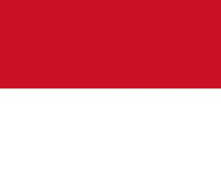 Monaco
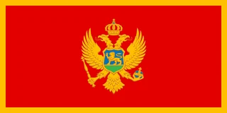 Montenegro
 Netherlands
 North Macedonia
 Norway
 Poland
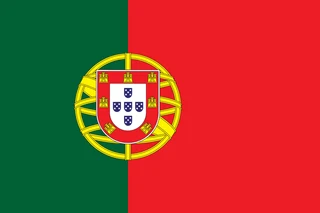 Portugal
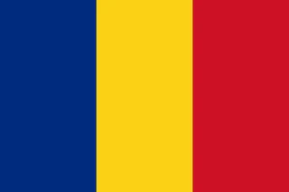 Romania
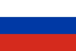 Russia
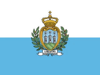 San Marino
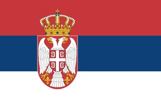 Serbia
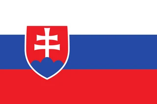 Slovakia
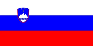 Slovenia
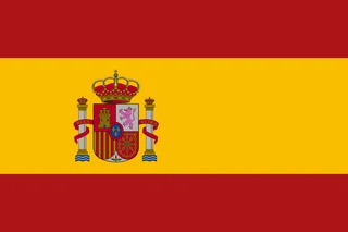 Spain
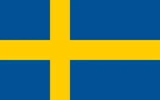 Sweden
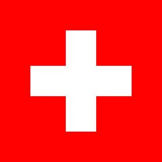 Switzerland
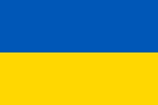 Ukraine
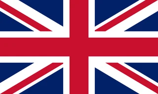 United Kingdom
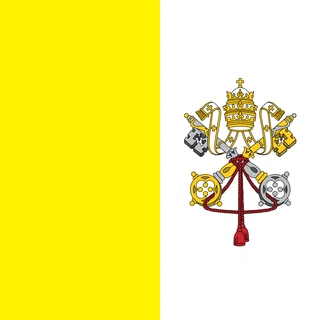 Vatican City
Frequently asked questions
How many countries are in Europe?
This atlas counts 46 countries in Europe, including Russia, Kosovo and Cyprus. The map also shows the Faroe Islands, a self-governing part of the Kingdom of Denmark. Other lists differ slightly, mostly over Turkey, Cyprus and the Caucasus countries.
What is the largest country in Europe?
Russia is the largest, at about 17.1 million km² (6.6 million sq mi), although most of it lies in Asia. Ukraine, at 603,550 km² (233,032 sq mi), is the largest country that lies entirely within Europe.
What is the smallest country in Europe?
Vatican City is the smallest, covering just 0.44 km² (0.17 sq mi) inside the city of Rome. It is also the smallest country in the world, followed in Europe by Monaco, San Marino and Liechtenstein.
What is the most populous country in Europe?
Russia, with about 146.1 million people.
Where can I download a printable map of Europe?
On this page: the political map, the blank map and the coloring map can be downloaded for free as PNG and PDF.
Use this map
You can download, print and share this map for free, in class, in school projects, in presentations and on websites, as long as you credit the source: Map of Europe · Atlas of Maps (atlasofmaps.com), license CC BY 4.0.
More maps: Map of Asia · Map of Africa · Map of Oceania · Map of North America · Map of South America · Map of Central America · Map of the Caribbean · Map of the Middle East · Map of the European Union · Map of Latin America · Map of Southeast Asia · World map