Map of Andorra with regions and capitals
Andorra is a small landlocked country in southwestern Europe, high in the eastern Pyrenees mountains. It lies between France to the north and Spain to the south, and has no other neighbors. The political map shows its 7 regions, the capital, Andorra la Vella, and major cities.

- Capital
- Andorra la Vella
- Population
- 89,752 (2026)
- Area
- 468 km² (181 sq mi)
- Population density
- 192 per km² (497 per sq mi)
- Official language
- Catalan
- Currency
- euro
- Demonym
- Andorran
- Regions
- 7
- Highest point
- Coma Pedrosa (2,942 m (9,652 ft))
- Calling code
- +376
- Internet domain
- .ad
- Official name
- Principality of Andorra
Where is Andorra?
Andorra is a small landlocked country in southwestern Europe, high in the eastern Pyrenees mountains. It lies between France to the north and Spain to the south, and has no other neighbors.

Regions of Andorra and their capitals
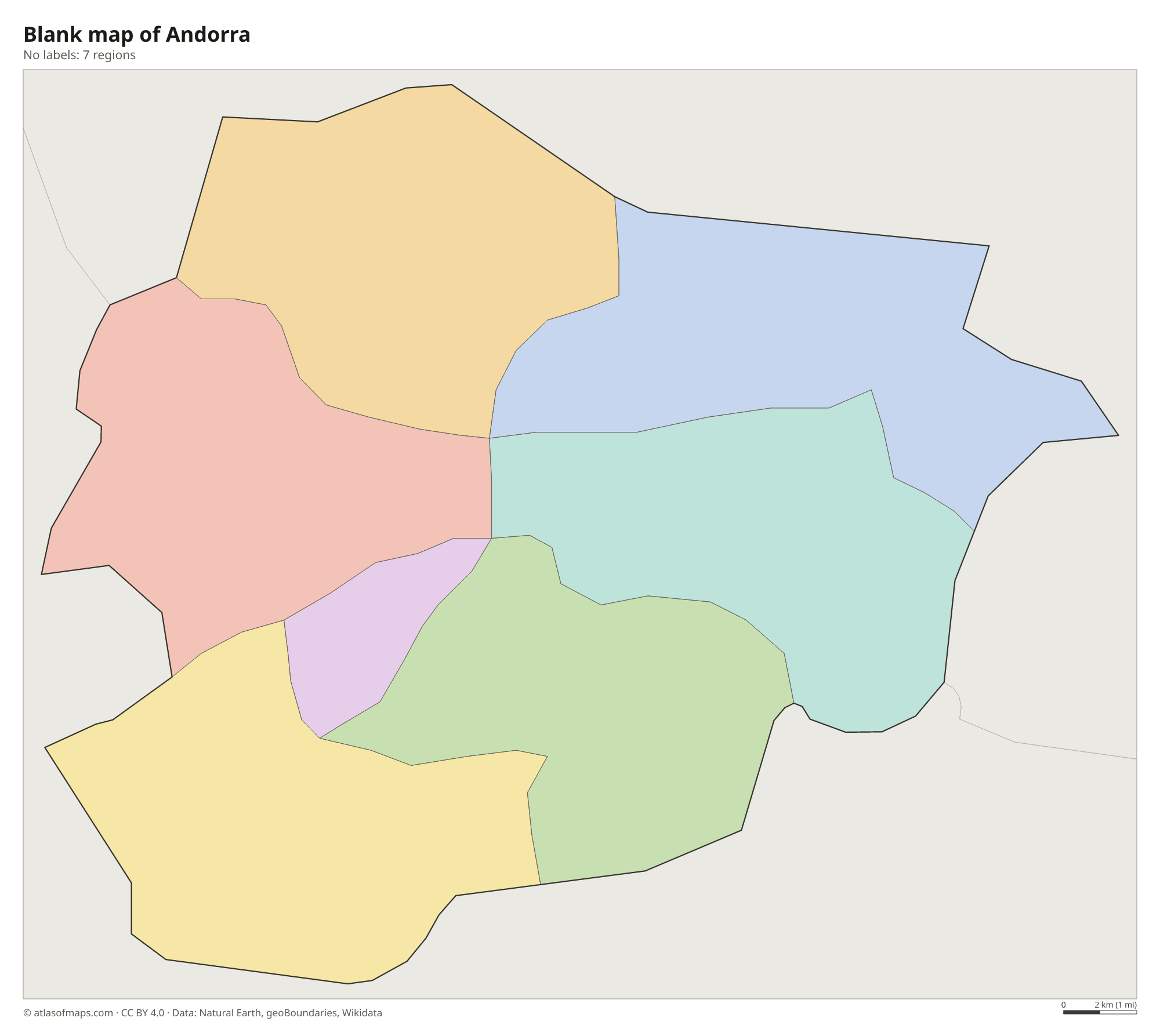
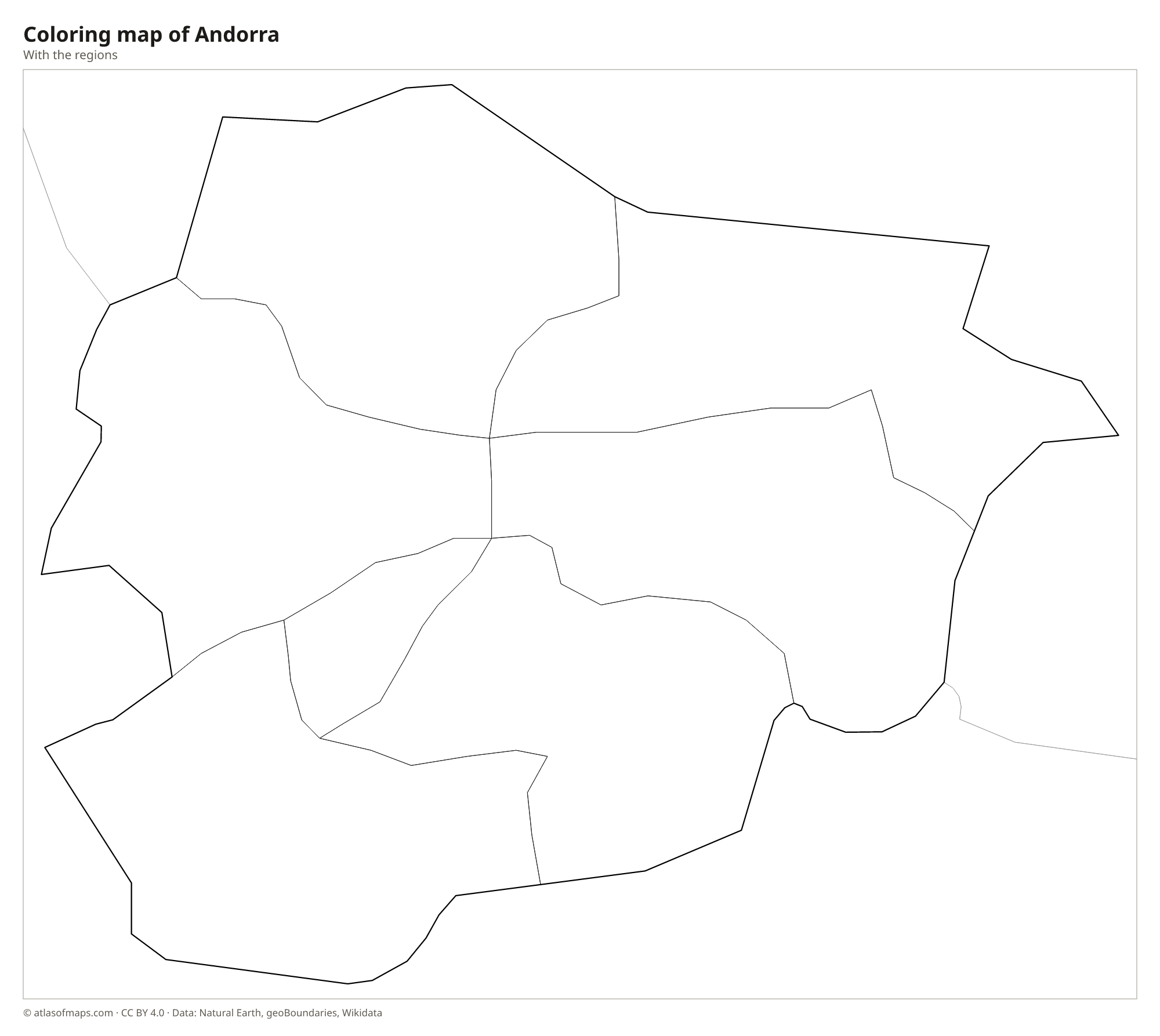
Andorra is divided into 7 parishes (parròquies): Canillo, Encamp, Ordino, La Massana, Andorra la Vella, Sant Julià de Lòria and Escaldes-Engordany. All 7 appear on the map, and each is a mountain valley community with its own local government.
| Region | Capital | Population | Area |
|---|---|---|---|
| Andorra la Vella | Andorra la Vella | 22,615 | 12 km² (4.6 sq mi) |
| Canillo | Canillo | 5,781 | 121 km² (47 sq mi) |
| Encamp | Encamp | 12,826 | 74 km² (29 sq mi) |
| Escaldes-Engordany | Les Escaldes | 15,506 | 30 km² (12 sq mi) |
| La Massana | La Massana | 11,591 | 65 km² (25 sq mi) |
| Ordino | Ordino | 5,440 | 90 km² (35 sq mi) |
| Sant Julià de Lòria | Sant Julià de Lòria | 9,915 | 61 km² (24 sq mi) |
Population from Wikidata (latest figure available for each region).
Blank and coloring maps of Andorra
Blank map of Andorra

Coloring map of Andorra

Geography of Andorra
Andorra covers only 468 km² (181 sq mi), and the whole country is mountainous. Steep peaks and glacial valleys shaped during the Ice Age surround its towns, and even the lowest point, where the Gran Valira leaves for Spain, lies more than 800 m (2,600 ft) above sea level. The highest point is Coma Pedrosa, at 2,942 m (9,652 ft), in the northwest of the country. Andorra la Vella, the capital, sits in a deep valley and is the highest capital city in Europe. In winter, ski slopes cover large parts of the mountainsides.
The main river is the Valira. Its two branches, the Valira del Nord and the Valira d'Orient, join at Escaldes-Engordany, and the Gran Valira then flows south into Spain, where it joins the Segre. Dozens of small lakes lie in high glacial basins, among them the Tristaina lakes and the lake of Engolasters. The climate is alpine, with cold, snowy winters and mild summers. The Madriu-Perafita-Claror Valley in the southeast is a protected glacial valley and a UNESCO World Heritage Site. About 90,000 people (2026) live in Andorra, mostly on the valley floors.
Fun facts
- Andorra has two heads of state, called co-princes: the Bishop of Urgell in Spain and the President of France.
- Andorra is the only country in the world where Catalan is the sole official language.
- Andorra has no airport or railway of its own, so most visitors arrive by road from Spain or France.
Flag of Andorra
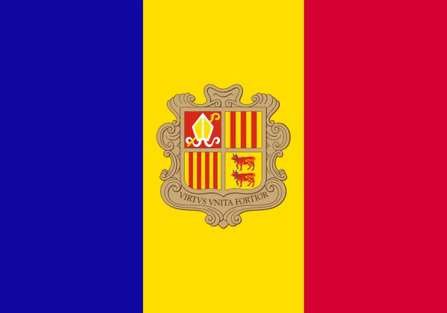
The flag of Andorra has three vertical bands of blue, yellow and red, with the central yellow band slightly wider than the other two. The national coat of arms sits in the middle of the yellow band. It shows a shield divided into four parts with a bishop's miter and crosier, red and yellow stripes, and two red cows, above the Latin motto Virtus Unita Fortior.
Countries bordering Andorra
Frequently asked questions
What countries border Andorra?
Andorra borders only two countries: France to the north and east, and Spain to the south and west. Both borders run through the high mountains of the Pyrenees.
How many parishes does Andorra have?
Andorra has 7 parishes: Andorra la Vella, Canillo, Encamp, Escaldes-Engordany, La Massana, Ordino and Sant Julià de Lòria. They are the units shown on the map.
Is Andorra part of Spain or France?
Neither. Andorra is an independent principality, even though its two heads of state are the President of France and the Bishop of Urgell in Spain. It uses the euro but is not in the European Union.
What is the capital of Andorra?
The capital of Andorra is Andorra la Vella.
How many regions does Andorra have?
Andorra is divided into 7 regions: Andorra la Vella, Canillo, Encamp, Escaldes-Engordany, La Massana, Ordino, and Sant Julià de Lòria.
What language is spoken in Andorra?
The official language is Catalan.
Can I print the map of Andorra?
Yes. Every map on this page can be downloaded for free as PNG or PDF (US Letter) and printed, including the blank map and the coloring map. Please credit the source (Atlas of Maps, CC BY 4.0).
Use this map
You can download, print and share this map for free, in class, in school projects, in presentations and on websites, as long as you credit the source: Map of Andorra · Atlas of Maps (atlasofmaps.com), license CC BY 4.0.
See also: Map of Europe · World map