Map of Antigua and Barbuda with regions and capitals
Antigua and Barbuda is an island country in the eastern Caribbean, part of the Leeward Islands of the Lesser Antilles. It has no land borders; its nearest neighbors across the sea are Saint Kitts and Nevis, Montserrat and the French island of Guadeloupe. The political map shows its 6 parishes and 2 dependencies (Barbuda and Redonda), the capital, St. John's, and major cities.

- Capital
- St. John's
- Population
- 101,489 (2023)
- Area
- 440 km² (170 sq mi)
- Population density
- 231 per km² (597 per sq mi)
- Official languages
- English and Spanish
- Currency
- Eastern Caribbean dollar
- Demonym
- Antiguan
- Divisions
- 6 parishes and 2 dependencies (Barbuda and Redonda)
- Highest point
- Mount Obama (402 m (1,319 ft))
- Calling code
- +1268
- Internet domain
- .ag
Where is Antigua and Barbuda?
Antigua and Barbuda is an island country in the eastern Caribbean, part of the Leeward Islands of the Lesser Antilles. It has no land borders; its nearest neighbors across the sea are Saint Kitts and Nevis, Montserrat and the French island of Guadeloupe.

Regions of Antigua and Barbuda and their capitals
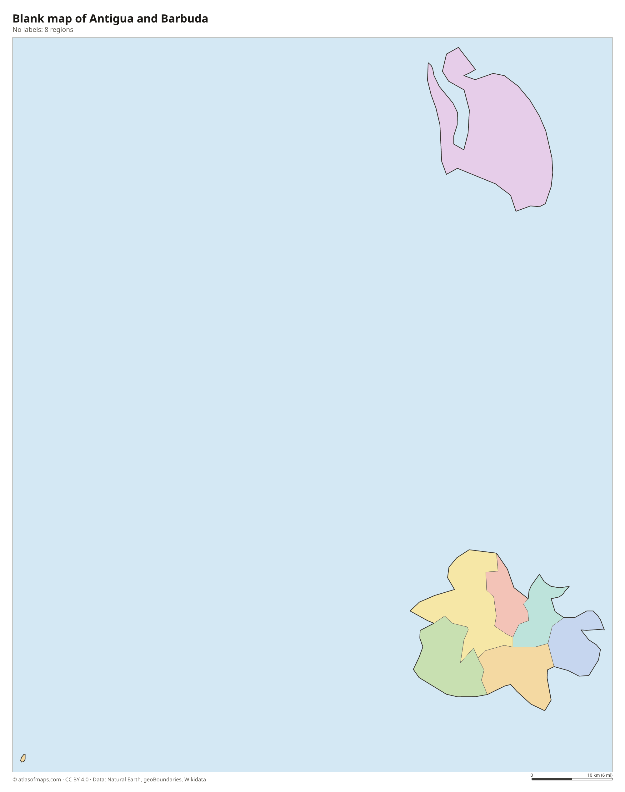
Antigua is divided into 6 parishes: Saint George, Saint John, Saint Mary, Saint Paul, Saint Peter and Saint Philip. Barbuda and Redonda are dependencies rather than parishes; Barbuda has its own council, and Redonda has no permanent population.
| Region | Capital | Population | Area |
|---|---|---|---|
| Barbuda | Codrington | 1,638 | 161 km² (62 sq mi) |
| Redonda | — | — | 2 km² (0.8 sq mi) |
| Saint George | Piggotts | 7,496 | 24 km² (9.3 sq mi) |
| Saint John | St. John's | 49,225 | 67 km² (26 sq mi) |
| Saint Mary | Bolans | 7,067 | 64 km² (25 sq mi) |
| Saint Paul | Falmouth | 7,979 | 45 km² (17 sq mi) |
| Saint Peter | Parham | 5,307 | 32 km² (12 sq mi) |
| Saint Philip | Freetown | 3,125 | 41 km² (16 sq mi) |
Population from Wikidata (latest figure available for each region).
Blank and coloring maps of Antigua and Barbuda
Blank map of Antigua and Barbuda

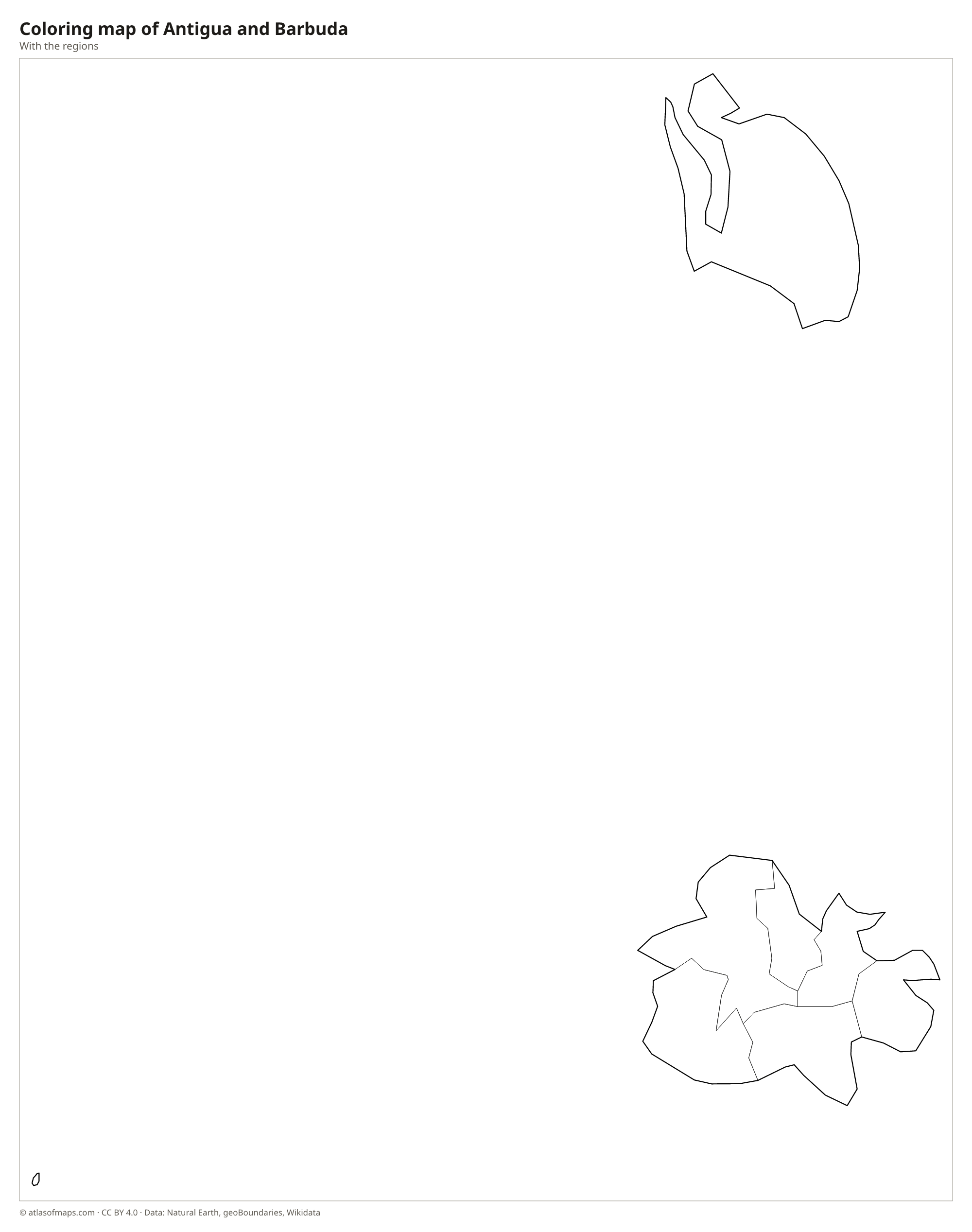
Coloring map of Antigua and Barbuda

Geography of Antigua and Barbuda
The country covers 440 km² (170 sq mi) on two main islands and the small, uninhabited rock of Redonda. Antigua, the larger main island, is mostly low limestone and coral in the north and east, with a ragged coast of bays, reefs and white beaches. Its southwest is made of older volcanic rock, where the Shekerley Mountains rise to Mount Obama, the highest point at 402 m (1,319 ft). Barbuda, to the north, is a flat, low coral island, and Redonda is a steep volcanic rock to the southwest.
Antigua has no permanent rivers, and fresh water has always been scarce, so rainfall is stored in reservoirs and supplemented by desalination. The climate is tropical and fairly dry, cooled by northeast trade winds, and the islands lie in the path of Atlantic hurricanes. Barbuda's west side is lined by Codrington Lagoon, home to a large colony of magnificent frigatebirds, and by long pink and white sand beaches. St. John's, the capital and main port, lies on a natural harbor on Antigua's northwest coast. About 101,000 people (2023) live in the country.
Fun facts
- The highest point was called Boggy Peak until 2009, when it was renamed Mount Obama in honor of the US president.
- Redonda, a steep volcanic rock between Montserrat and Nevis, is part of the country but has no permanent residents.
- Nelson's Dockyard at English Harbour, a restored 18th-century naval base on Antigua's south coast, is part of a UNESCO World Heritage Site.
Flag of Antigua and Barbuda
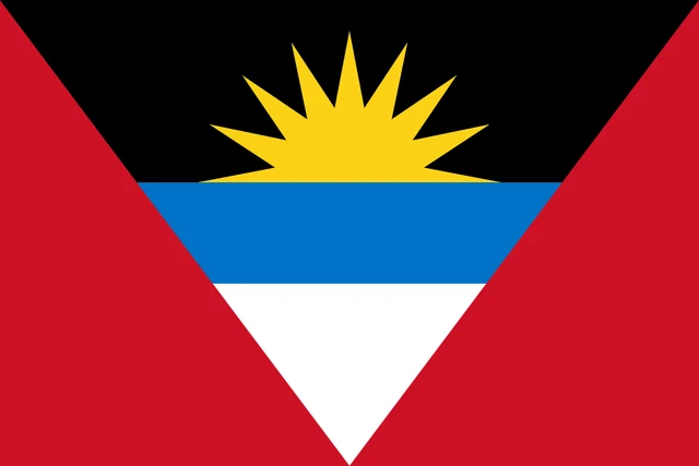
The flag of Antigua and Barbuda is red, with a large inverted triangle in the center that forms a V shape. Inside the triangle are three horizontal bands of black, blue and white, and a golden sun rises from the black band at the top.
Frequently asked questions
Where is Antigua and Barbuda?
Antigua and Barbuda lies in the eastern Caribbean, where the Caribbean Sea meets the Atlantic Ocean. It is part of the Leeward Islands, north of Guadeloupe and east of Saint Kitts and Nevis.
How many parishes does Antigua and Barbuda have?
The island of Antigua has 6 parishes. Barbuda and Redonda are not parishes but the country's 2 dependencies, so the map shows 8 units in total.
What is the capital of Antigua and Barbuda?
The capital is St. John's, on the northwest coast of Antigua. It is the largest town and the main port, where most cruise ships dock.
What countries border Antigua and Barbuda?
Antigua and Barbuda has no land borders with other countries: all its borders are at sea.
How many regions does Antigua and Barbuda have?
Antigua and Barbuda is divided into 6 parishes and 2 dependencies (Barbuda and Redonda): Barbuda, Redonda, Saint George, Saint John, Saint Mary, Saint Paul, Saint Peter, and Saint Philip.
What language is spoken in Antigua and Barbuda?
The official languages are English and Spanish.
Can I print the map of Antigua and Barbuda?
Yes. Every map on this page can be downloaded for free as PNG or PDF (US Letter) and printed, including the blank map and the coloring map. Please credit the source (Atlas of Maps, CC BY 4.0).
Use this map
You can download, print and share this map for free, in class, in school projects, in presentations and on websites, as long as you credit the source: Map of Antigua and Barbuda · Atlas of Maps (atlasofmaps.com), license CC BY 4.0.
See also: Map of North America · Map of the Caribbean · World map