Map of Aruba
Aruba is a small island in the southern Caribbean Sea, about 29 km (18 mi) north of the coast of Venezuela. It is the westernmost of the ABC islands (Aruba, Bonaire and Curaçao) and has no land borders.
Constituent country of the Kingdom of the Netherlands.

- Capital
- Oranjestad
- Population
- 106,739 (2022)
- Area
- 179 km² (69 sq mi)
- Population density
- 596 per km² (1,544 per sq mi)
- Official languages
- Dutch and Papiamento
- Currency
- Aruban florin
- Demonym
- Aruban
- Highest point
- Mount Jamanota (188 m (617 ft))
- Calling code
- +297
- Internet domain
- .aw
Where is Aruba?
Aruba is a small island in the southern Caribbean Sea, about 29 km (18 mi) north of the coast of Venezuela. It is the westernmost of the ABC islands (Aruba, Bonaire and Curaçao) and has no land borders.

Blank and coloring maps of Aruba
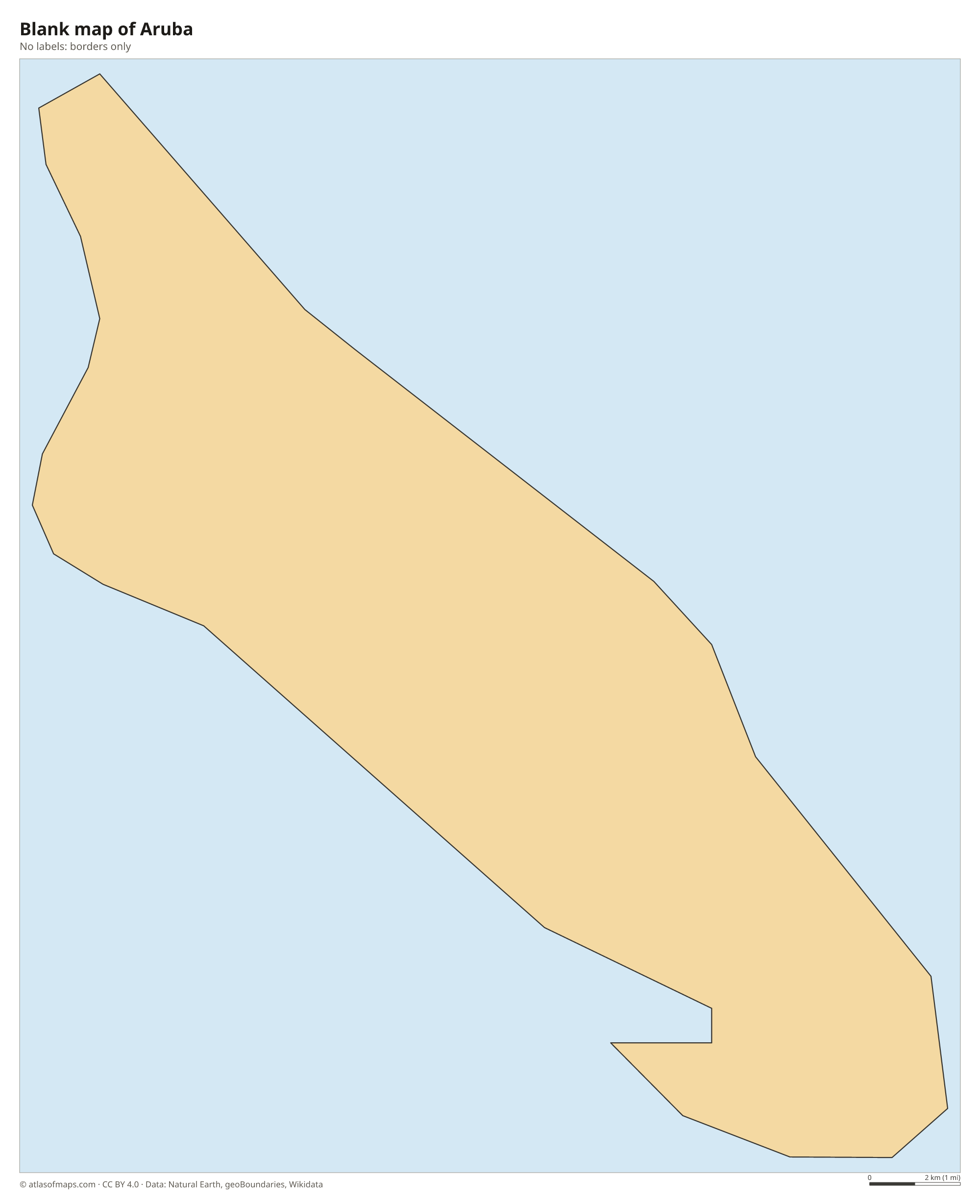
Blank map of Aruba

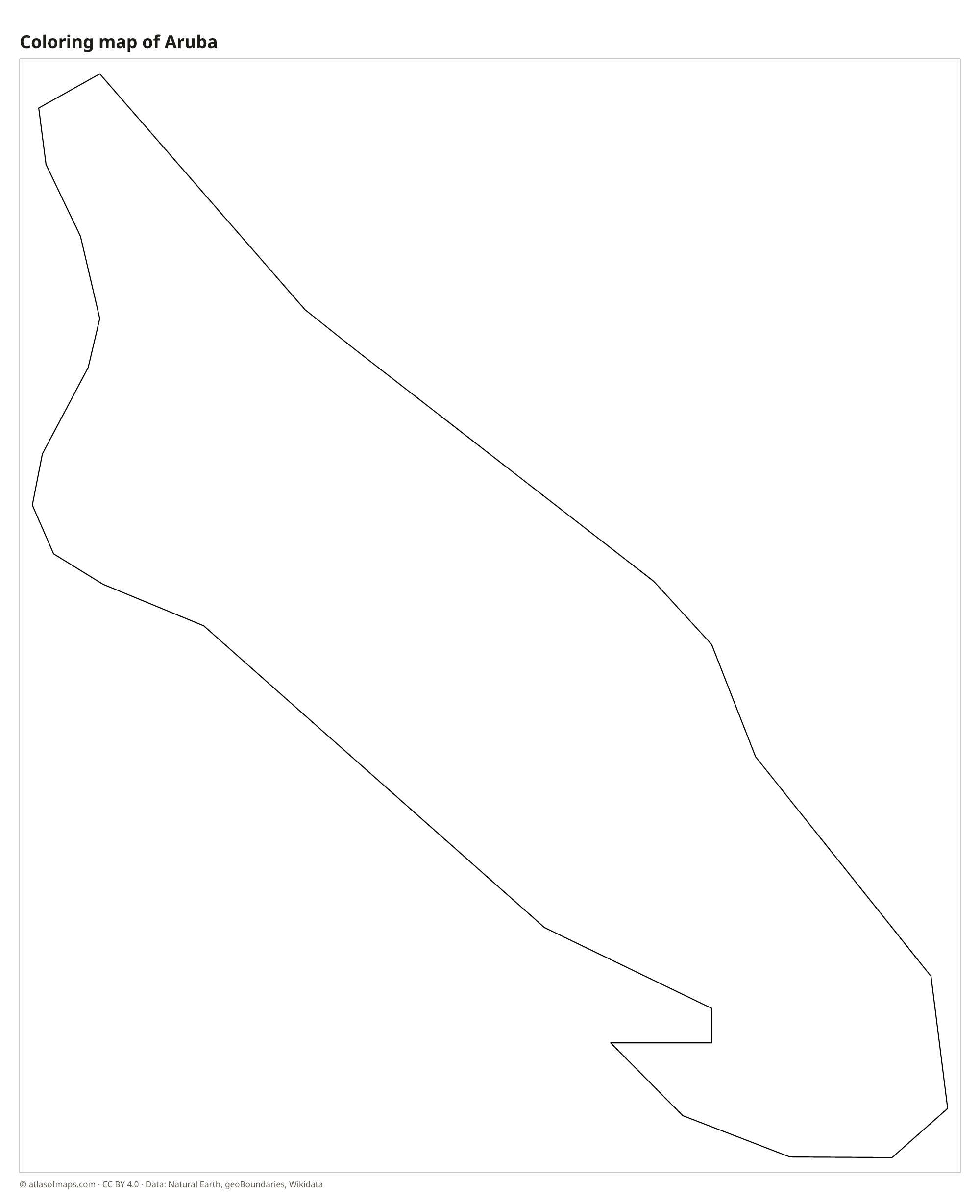
Coloring map of Aruba

Geography of Aruba
Aruba covers 179 km² (69 sq mi) and is about 30 km (19 mi) long. The island is flat to gently hilly, built of volcanic rock, limestone and coral. Its dry, rocky interior is scattered with huge boulder formations, such as those at Ayo and Casibari, and with low hills including the cone-shaped Hooiberg. The highest point, Mount Jamanota, reaches 188 m (617 ft) in Arikok National Park, which protects much of the island's rugged eastern side.
Aruba has no rivers, and drinking water comes mostly from seawater desalination. The climate is dry and sunny, with steady trade winds from the east that bend the island's divi-divi trees to the southwest. Rainfall is low, and cacti cover much of the land. Calm white-sand beaches such as Eagle Beach and Palm Beach line the west and southwest coasts, while the north coast, facing the open sea, is rocky and wave-battered. About 107,000 people (2022) live on the island, many of them in and around Oranjestad, the capital.
Fun facts
- Aruba left the Netherlands Antilles in 1986 and became a separate country within the Kingdom of the Netherlands.
- Aruba lies south of the main Atlantic hurricane belt, so direct hits by hurricanes are rare.
- Aruba's Natural Bridge, a famous coral rock arch on the north coast, collapsed in 2005.
Flag of Aruba
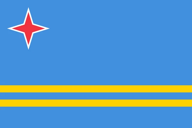
The flag of Aruba is light blue with two narrow yellow horizontal stripes running across its lower half. In the upper corner near the hoist is a red four-pointed star with a thin white border. The stripes run the full width of the flag, and the star is its only emblem.
Frequently asked questions
Is Aruba a country?
Aruba is a constituent country of the Kingdom of the Netherlands. It has its own government, currency (the Aruban florin) and flag, while the kingdom handles defense and foreign affairs.
Where is Aruba located?
Aruba lies in the southern Caribbean Sea, about 29 km (18 mi) north of Venezuela. It is the westernmost of the ABC islands, west of Curaçao and Bonaire.
What is the capital of Aruba?
The capital is Oranjestad, on the southwest coast. It is the island's largest town, its main port and the center of government.
What countries border Aruba?
Aruba has no land borders with other countries: all its borders are at sea.
What language is spoken in Aruba?
The official languages are Dutch and Papiamento.
Can I print the map of Aruba?
Yes. Every map on this page can be downloaded for free as PNG or PDF (US Letter) and printed, including the blank map and the coloring map. Please credit the source (Atlas of Maps, CC BY 4.0).
Use this map
You can download, print and share this map for free, in class, in school projects, in presentations and on websites, as long as you credit the source: Map of Aruba · Atlas of Maps (atlasofmaps.com), license CC BY 4.0.
See also: Map of North America · Map of the Caribbean · World map