Map of Bahrain
Bahrain is a small island country in the Persian Gulf, in the Middle East. It lies off the east coast of Saudi Arabia, to which it is linked by a causeway, and west of Qatar. It has no land borders. The political map shows its regions, the capital, Manama, and major cities.

- Capital
- Manama
- Population
- 1.6 million (2023)
- Area
- 787 km² (304 sq mi)
- Population density
- 1,994 per km² (5,166 per sq mi)
- Official language
- Arabic
- Currency
- Bahraini dinar
- Demonym
- Bahraini
- Highest point
- Mountain of Smoke (134 m (440 ft))
- Calling code
- +973
- Internet domain
- .bh
- Official name
- Kingdom of Bahrain
Where is Bahrain?
Bahrain is a small island country in the Persian Gulf, in the Middle East. It lies off the east coast of Saudi Arabia, to which it is linked by a causeway, and west of Qatar. It has no land borders.

Regions of Bahrain and their capitals
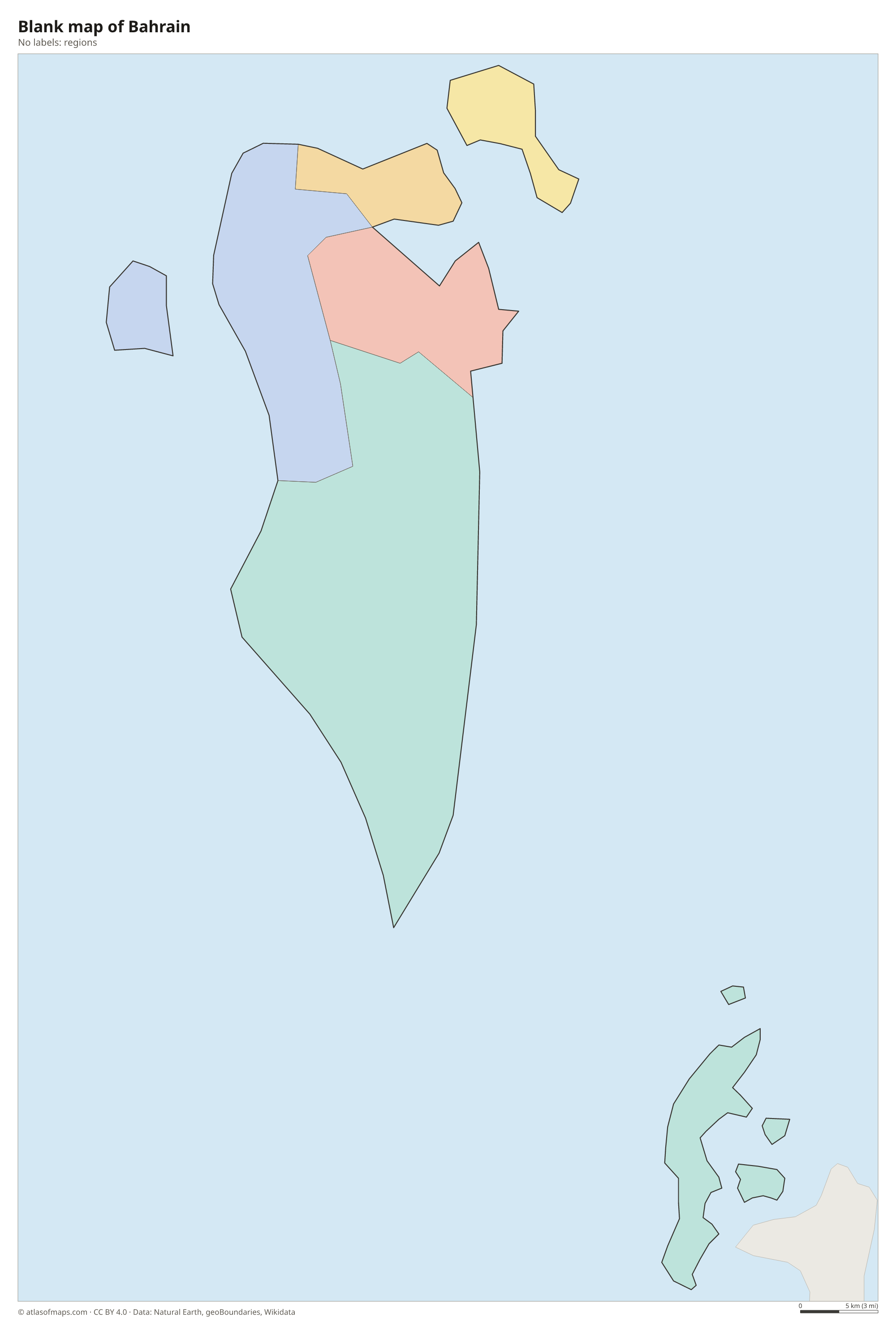
Bahrain is divided into governorates, the units drawn on the map. Their number and borders have changed several times since independence, and the Natural Earth divisions shown may not reflect the latest reform.
The divisions on the map come from Natural Earth and may not reflect the latest territorial reform in Bahrain.
| Region | Capital | Population | Area |
|---|---|---|---|
| Capital | Manama | 534,939 | 68 km² (26 sq mi) |
| Central | — | — | — |
| Muharraq | Al-Muharraq | 263,373 | 57 km² (22 sq mi) |
| Northern | — | 375,648 | 175 km² (68 sq mi) |
| Southern | — | 298,244 | 438 km² (169 sq mi) |
Population from Wikidata (latest figure available for each region).
Blank and coloring maps of Bahrain
Blank map of Bahrain

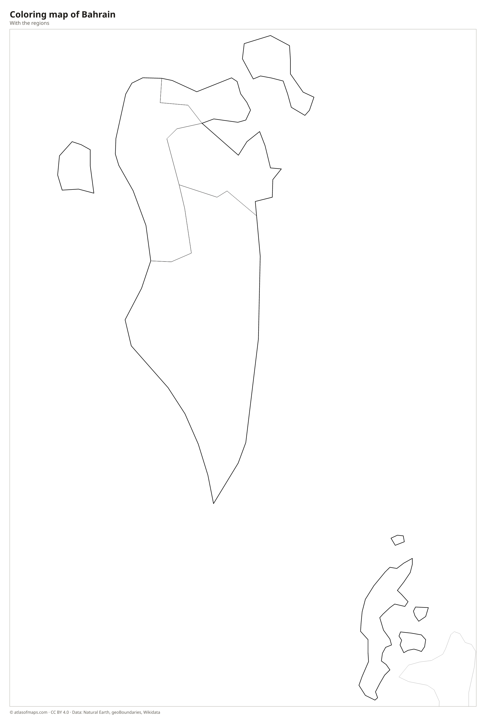
Coloring map of Bahrain

Geography of Bahrain
Bahrain covers 787 km² (304 sq mi) on an archipelago of more than 30 natural islands, together with a growing number of artificial ones. Bahrain Island, the largest, holds most of the land and people, while Muharraq and Sitra lie close to its northeast coast. The Hawar Islands lie to the southeast, near the coast of Qatar. Most of the land is low, flat desert. A limestone ridge rises in the center of the main island, where the Mountain of Smoke (Jabal ad Dukhan) reaches 134 m (440 ft), the highest point.
Bahrain has no rivers or lakes. For centuries, freshwater springs, some of them rising from the seabed, supported farming and date groves along the north coast, but today most water comes from desalination. The climate is hot and dry, with very humid summers and mild winters, and the little rain falls mainly in winter. Land reclamation has added large areas along the coasts, so Bahrain's area has grown over time. The capital, Manama, lies at the northeastern tip of Bahrain Island. About 1.6 million people (2023) live in Bahrain.
Fun facts
- The King Fahd Causeway, opened in 1986, links Bahrain with Saudi Arabia across about 25 km (16 mi) of sea.
- The Tree of Life, a lone mesquite tree said to be about 400 years old, grows in the desert near the Mountain of Smoke.
- Bahrain was once a major center of pearl diving, and its pearling sites on Muharraq are a UNESCO World Heritage Site.
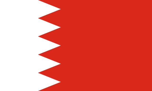
Flag of Bahrain
The flag of Bahrain is red with a vertical white band at the hoist. The two colors are separated by a serrated line that forms five white triangles pointing into the red field, like a row of teeth. There is no emblem or text on the flag.
Frequently asked questions
Is Bahrain an island?
Yes. Bahrain is an archipelago in the Persian Gulf. Bahrain Island is the largest, and smaller islands such as Muharraq, Sitra and the Hawar Islands make up the rest of the country.
What country is Bahrain connected to?
Bahrain is connected to Saudi Arabia by the King Fahd Causeway, a chain of bridges and embankments across the Gulf of Bahrain. It has no land border with any country.
What is the capital of Bahrain?
The capital is Manama, on the northeastern tip of Bahrain Island. It is the largest city and the center of the country's banking and trade.
What countries border Bahrain?
Bahrain has no land borders with other countries: all its borders are at sea.
What language is spoken in Bahrain?
The official language is Arabic.
Can I print the map of Bahrain?
Yes. Every map on this page can be downloaded for free as PNG or PDF (US Letter) and printed, including the blank map and the coloring map. Please credit the source (Atlas of Maps, CC BY 4.0).
Use this map
You can download, print and share this map for free, in class, in school projects, in presentations and on websites, as long as you credit the source: Map of Bahrain · Atlas of Maps (atlasofmaps.com), license CC BY 4.0.
See also: Map of Asia · Map of the Middle East · World map