Map of Barbados with regions and capitals
Barbados is an island country in the Caribbean, the easternmost of the Lesser Antilles. It lies in the Atlantic Ocean east of Saint Vincent and the Grenadines and Saint Lucia, and has no land borders. The political map shows its 11 regions, the capital, Bridgetown, and major cities.

- Capital
- Bridgetown
- Population
- 303,431 (2023)
- Area
- 439 km² (169 sq mi)
- Population density
- 691 per km² (1,790 per sq mi)
- Official languages
- English and Bajan Creole
- Currency
- Barbadian dollar
- Demonym
- Barbadian
- Regions
- 11
- Highest point
- Mount Hillaby (340 m (1,115 ft))
- Calling code
- +1246
- Internet domain
- .bb
Where is Barbados?
Barbados is an island country in the Caribbean, the easternmost of the Lesser Antilles. It lies in the Atlantic Ocean east of Saint Vincent and the Grenadines and Saint Lucia, and has no land borders.

Regions of Barbados
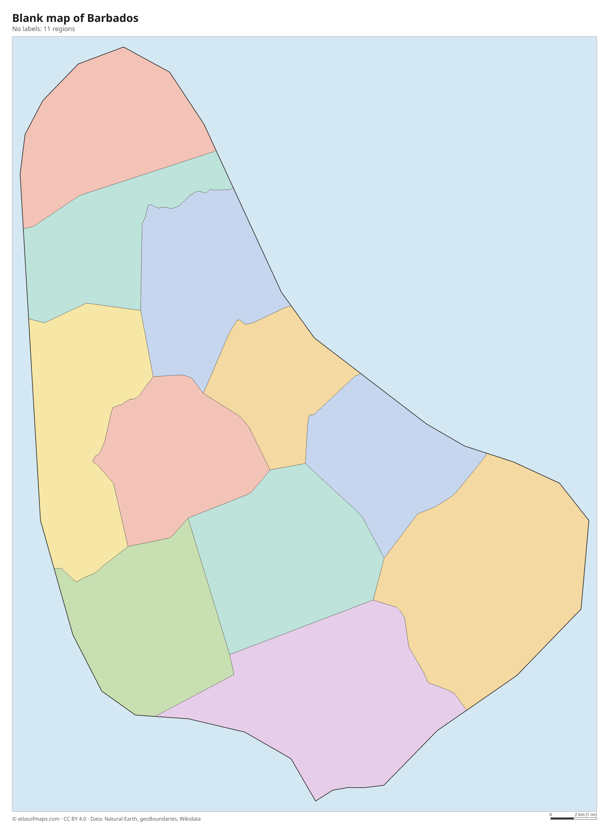
Barbados is divided into 11 parishes, all drawn on the map: Christ Church, Saint Andrew, Saint George, Saint James, Saint John, Saint Joseph, Saint Lucy, Saint Michael, Saint Peter, Saint Philip and Saint Thomas. The capital, Bridgetown, is in Saint Michael.
| Region | Population | Area |
|---|---|---|
| Christ Church | 54,336 | 57 km² (22 sq mi) |
| Saint Andrew | 5,139 | 36 km² (14 sq mi) |
| Saint George | 19,767 | 44 km² (17 sq mi) |
| Saint James | 28,498 | 31 km² (12 sq mi) |
| Saint John | 8,963 | 34 km² (13 sq mi) |
| Saint Joseph | 6,620 | 26 km² (10 sq mi) |
| Saint Lucy | 9,758 | 36 km² (14 sq mi) |
| Saint Michael | 88,529 | 39 km² (15 sq mi) |
| Saint Peter | 11,300 | 34 km² (13 sq mi) |
| Saint Philip | 30,662 | 60 km² (23 sq mi) |
| Saint Thomas | 14,249 | 34 km² (13 sq mi) |
Population from Wikidata (latest figure available for each region).
Blank and coloring maps of Barbados
Blank map of Barbados

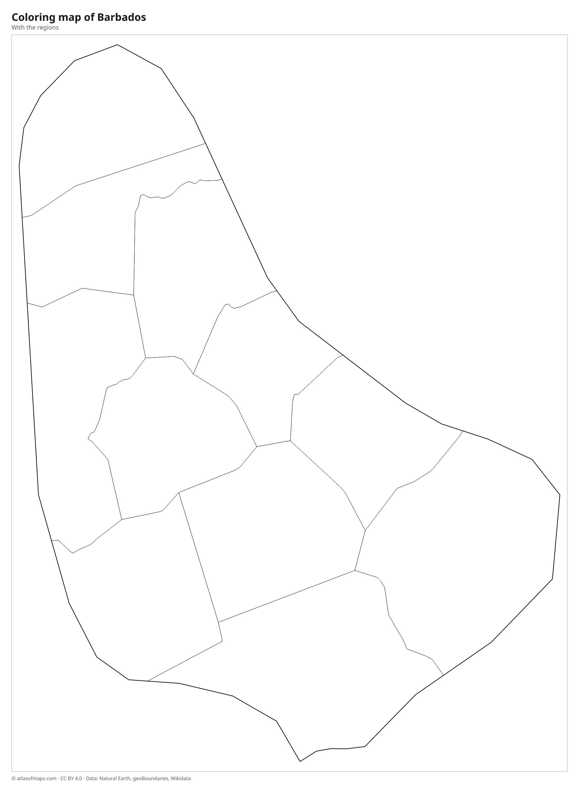
Coloring map of Barbados

Geography of Barbados
Barbados covers 439 km² (169 sq mi) on a single pear-shaped island. Unlike most of its volcanic neighbors, it is built mainly of coral limestone that rose from the sea on top of older sediments. The land rises in a series of terraces from the west coast to the central uplands, where Mount Hillaby reaches 340 m (1,115 ft), the highest point. In the northeast, the Scotland District is a hilly area where erosion has stripped away the coral cap and exposed the older rock beneath.
Because limestone soaks up water, Barbados has few surface streams; rain drains into underground channels and caves such as Harrison's Cave. The west coast faces the calm Caribbean Sea and is lined with sandy beaches, while the east coast, with rocky shores at Bathsheba, takes the full force of the Atlantic surf. Coral reefs fringe much of the island. The climate is tropical, with a drier season from about December to May and a wetter season, with a risk of hurricanes, from June to November. About 303,000 people (2023) live in Barbados.
Fun facts
- Barbados became a parliamentary republic on November 30, 2021, exactly 55 years after independence, replacing the British monarch as head of state.
- Historic Bridgetown and its Garrison are a UNESCO World Heritage Site.
- Barbados lies farther east than any other Caribbean island, well out in the Atlantic.
Flag of Barbados
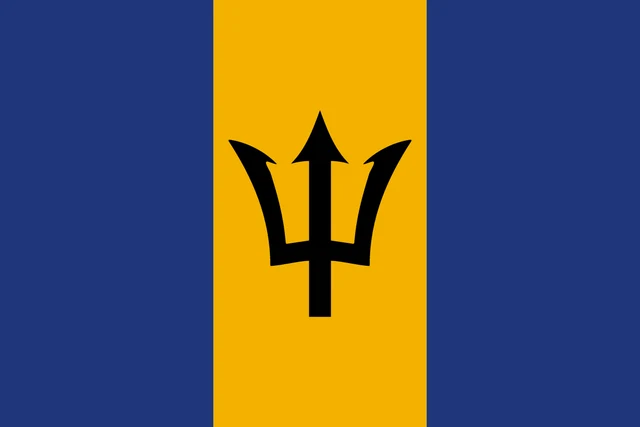
The flag of Barbados has three equal vertical bands: ultramarine blue, gold and ultramarine blue. In the center of the gold band is a black trident head, the three-pronged spear of the sea god Neptune, shown with its shaft broken off.
Frequently asked questions
Where is Barbados?
Barbados is in the Caribbean, east of Saint Vincent and the Grenadines and Saint Lucia. It is the easternmost island of the Lesser Antilles and lies in the Atlantic Ocean rather than the Caribbean Sea.
How many parishes does Barbados have?
Barbados has 11 parishes. Ten of them are named after saints, such as Saint Michael and Saint Lucy, and one is called Christ Church.
What is the capital of Barbados?
The capital is Bridgetown, on Carlisle Bay on the southwest coast, in the parish of Saint Michael. It is the island's largest town and main port.
What countries border Barbados?
Barbados has no land borders with other countries: all its borders are at sea.
How many regions does Barbados have?
Barbados is divided into 11 regions: Christ Church, Saint Andrew, Saint George, Saint James, Saint John, Saint Joseph, Saint Lucy, Saint Michael, Saint Peter, Saint Philip, and Saint Thomas.
What language is spoken in Barbados?
The official languages are English and Bajan Creole.
Can I print the map of Barbados?
Yes. Every map on this page can be downloaded for free as PNG or PDF (US Letter) and printed, including the blank map and the coloring map. Please credit the source (Atlas of Maps, CC BY 4.0).
Use this map
You can download, print and share this map for free, in class, in school projects, in presentations and on websites, as long as you credit the source: Map of Barbados · Atlas of Maps (atlasofmaps.com), license CC BY 4.0.
See also: Map of North America · Map of the Caribbean · World map