Map of Bhutan with regions and capitals
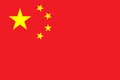
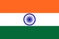
Bhutan is a small landlocked kingdom in the eastern Himalayas, in South Asia. It lies between China (the Tibet region) to the north and India to the south, east and west, and has no other neighbors. The political map shows its 20 regions, the capital, Thimphu, and major cities.

- Capital
- Thimphu
- Population
- 787,424 (2023)
- Area
- 38,394 km² (14,824 sq mi)
- Population density
- 21 per km² (53 per sq mi)
- Official language
- Dzongkha
- Currency
- ngultrum
- Demonym
- Bhutanese
- Regions
- 20
- Highest point
- Gangkhar Puensum (7,570 m (24,836 ft))
- Calling code
- +975
- Internet domain
- .bt
- Official name
- Kingdom of Bhutan
Where is Bhutan?
Bhutan is a small landlocked kingdom in the eastern Himalayas, in South Asia. It lies between China (the Tibet region) to the north and India to the south, east and west, and has no other neighbors.

Regions of Bhutan and their capitals
Bhutan is divided into 20 districts, called dzongkhags, all shown on the map. Most are run from a dzong, a fortress-monastery that also houses local government, such as the dzongs of Paro, Punakha and Trongsa.
| Region | Capital | Population | Area |
|---|---|---|---|
| Bumthang | Jakar | 17,820 | 2,490 km² (961 sq mi) |
| Chukha | Tsimasham | 68,966 | 1,991 km² (769 sq mi) |
| Dagana | Daga | 24,965 | 1,387 km² (536 sq mi) |
| Gasa | Gasa Dzong | 3,952 | 3,118 km² (1,204 sq mi) |
| Geylegphug | — | — | — |
| Haa | Ha | 13,655 | 1,319 km² (509 sq mi) |
| Lhuntse | Lhuntse | 14,437 | 2,881 km² (1,112 sq mi) |
| Mongar | Mongar | 37,150 | — |
| Paro | Paro | 46,316 | 1,693 km² (654 sq mi) |
| Pemagatshel | Pemagatsel | 23,632 | 593 km² (229 sq mi) |
| Punakha | Punakha | 28,740 | 845 km² (326 sq mi) |
| Samdrup Jongkhar | Samdrup Jongkhar | 35,079 | 2,207 km² (852 sq mi) |
| Samtse | Samtse | 62,590 | 1,725 km² (666 sq mi) |
| Thimphu | Thimphu | 138,736 | 1,617 km² (624 sq mi) |
| Trashigang | Trashigang | 45,518 | 2,171 km² (838 sq mi) |
| Trashiyangtse | Trashiyangtse | 17,300 | 1,459 km² (563 sq mi) |
| Trongsa | Trongsa | 19,960 | 1,815 km² (701 sq mi) |
| Tsirang | Damphu | 22,376 | 632 km² (244 sq mi) |
| Wangdue Phodrang | Wangdue Phodrang | 42,186 | 4,181 km² (1,614 sq mi) |
| Zhemgang | Zhemgang | 17,763 | 2,146 km² (829 sq mi) |
Population from Wikidata (latest figure available for each region).
Blank and coloring maps of Bhutan
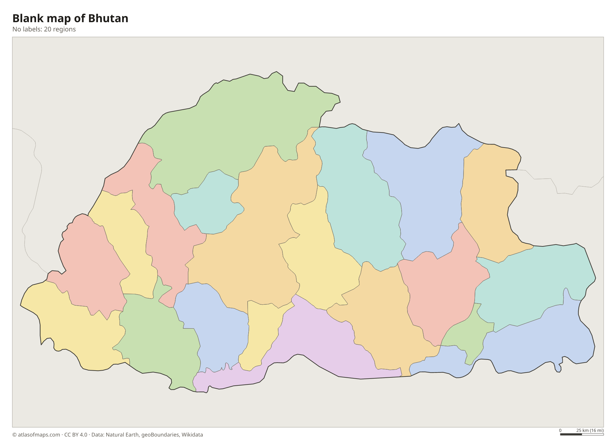
Blank map of Bhutan

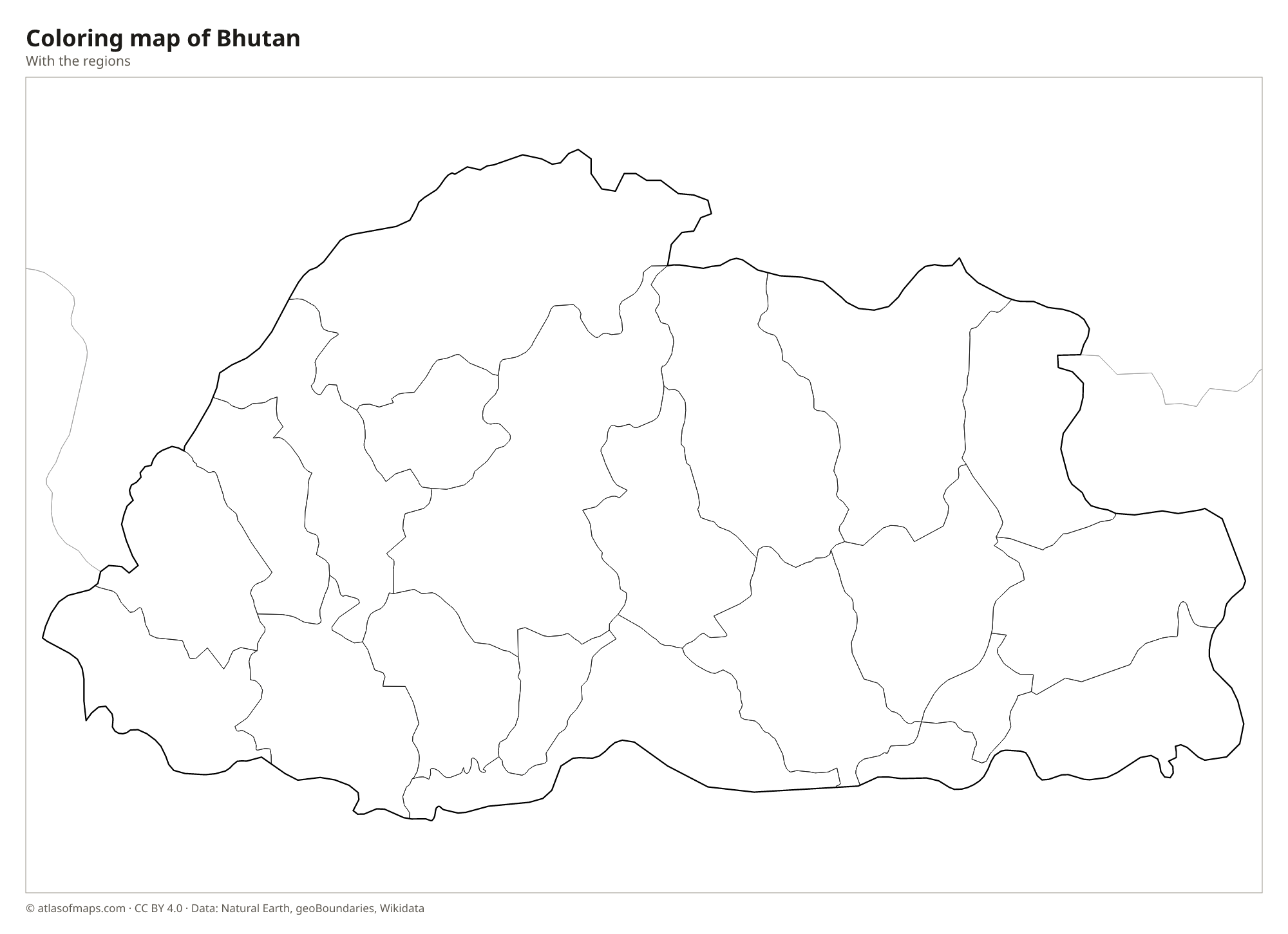
Coloring map of Bhutan

Geography of Bhutan
Bhutan covers 38,394 km² (14,824 sq mi), and almost all of it is mountainous. In the south, a narrow strip of foothills and plains, the Duars, rises from the Indian lowlands. The center is a land of high ridges and fertile valleys, such as those of Paro, Thimphu and Punakha, where most people live. In the north, the Great Himalaya forms the border with Tibet, with glaciers and peaks above 7,000 m (23,000 ft). The highest of them, Gangkhar Puensum, reaches 7,570 m (24,836 ft).
Fast rivers fed by snow and glaciers cut deep valleys from north to south, and all of them flow on into the Brahmaputra in India. The Mo Chhu and Pho Chhu meet at Punakha, the Wang Chhu passes Thimphu, and the Manas river system drains the east. These rivers power hydroelectric plants that export electricity to India. The climate changes with height, from hot and humid in the southern foothills to temperate in the central valleys and alpine in the north, and monsoon rains fall in summer. About 787,000 people (2023) live in Bhutan.
Fun facts
- Gangkhar Puensum is widely considered the highest unclimbed mountain in the world, because Bhutan does not allow climbing on its highest peaks.
- Bhutan's constitution requires that at least 60% of the country always remain under forest cover.
- The Tiger's Nest monastery (Paro Taktsang) clings to a cliff about 900 m (3,000 ft) above the floor of the Paro Valley.
Flag of Bhutan
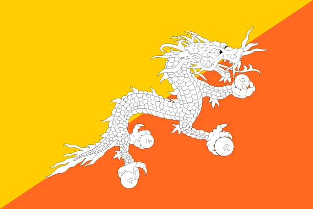
The flag of Bhutan is divided diagonally from the lower hoist corner to the upper fly corner. The upper triangle is yellow and the lower triangle is orange. A white dragon, the Druk or Thunder Dragon, lies along the dividing line, facing away from the hoist and holding jewels in its claws.
Countries bordering Bhutan
Frequently asked questions
What countries border Bhutan?
Bhutan borders only two countries: China to the north, along the crest of the Himalayas, and India to the south, east and west.
How many districts does Bhutan have?
Bhutan has 20 districts, or dzongkhags. Thimphu District contains the capital, and other well-known districts include Paro, Punakha, Bumthang and Trashigang.
Is Bhutan part of India or China?
Neither. Bhutan is an independent kingdom with its own king, government and currency, the ngultrum. It lies between China and India and has especially close ties with India.
What is the capital of Bhutan?
The capital of Bhutan is Thimphu.
How many regions does Bhutan have?
Bhutan is divided into 20 regions: Bumthang, Chukha, Dagana, Gasa, Geylegphug, Haa, Lhuntse, Mongar, Paro, Pemagatshel, Punakha, Samdrup Jongkhar, Samtse, Thimphu, Trashigang, Trashiyangtse, Trongsa, Tsirang, Wangdue Phodrang, and Zhemgang.
What language is spoken in Bhutan?
The official language is Dzongkha.
Can I print the map of Bhutan?
Yes. Every map on this page can be downloaded for free as PNG or PDF (US Letter) and printed, including the blank map and the coloring map. Please credit the source (Atlas of Maps, CC BY 4.0).
Use this map
You can download, print and share this map for free, in class, in school projects, in presentations and on websites, as long as you credit the source: Map of Bhutan · Atlas of Maps (atlasofmaps.com), license CC BY 4.0.
See also: Map of Asia · World map