Map of Brunei with regions and capitals
Brunei is a small country in Southeast Asia, on the north coast of the island of Borneo, facing the South China Sea. On land it is completely surrounded by the Malaysian state of Sarawak, which also splits it into two separate parts. The political map shows its 4 regions, the capital, Bandar Seri Begawan, and major cities.

- Capital
- Bandar Seri Begawan
- Population
- 458,949 (2023)
- Area
- 5,765 km² (2,226 sq mi)
- Population density
- 80 per km² (206 per sq mi)
- Official languages
- Malay and British English
- Currency
- Brunei dollar
- Regions
- 4
- Highest point
- Bukit Pagon (1,850 m (6,070 ft))
- Calling code
- +673
- Internet domain
- .bn
Where is Brunei?
Brunei is a small country in Southeast Asia, on the north coast of the island of Borneo, facing the South China Sea. On land it is completely surrounded by the Malaysian state of Sarawak, which also splits it into two separate parts.
Neighboring countries: Malaysia.

Regions of Brunei and their capitals
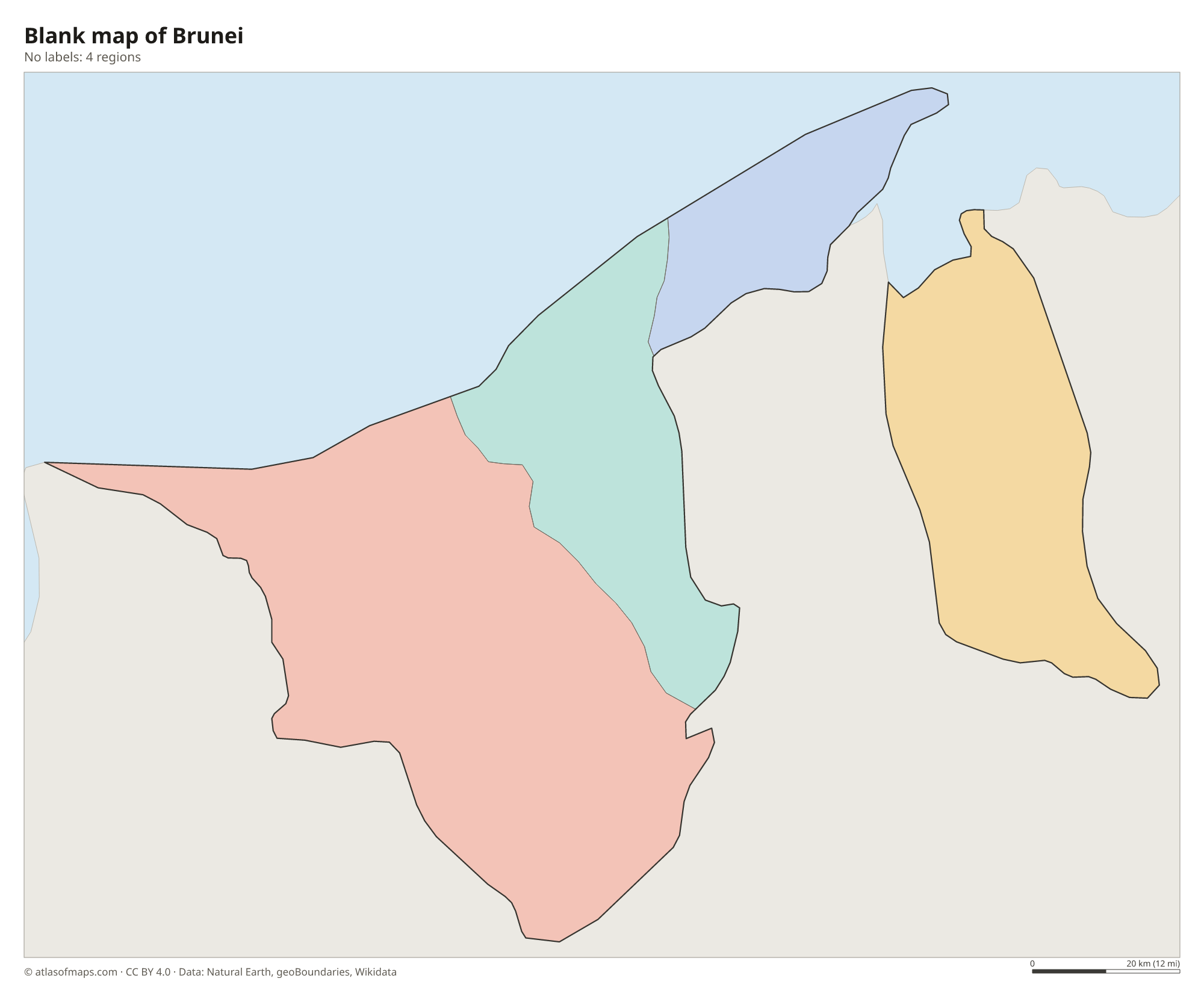
Brunei is divided into 4 districts: Belait, Tutong and Brunei-Muara in the west, and Temburong, the eastern exclave. Brunei-Muara is the smallest district but contains the capital and most of the people.
| Region | Capital | Population | Area |
|---|---|---|---|
| Belait | Kuala Belait | 73,200 | 2,727 km² (1,053 sq mi) |
| Brunei-Muara | Bandar Seri Begawan | 307,000 | 570 km² (220 sq mi) |
| Temburong | Bangar Town | 10,900 | 1,304 km² (503 sq mi) |
| Tutong | Tutong | 51,300 | 1,166 km² (450 sq mi) |
Population from Wikidata (latest figure available for each region).
Blank and coloring maps of Brunei
Blank map of Brunei

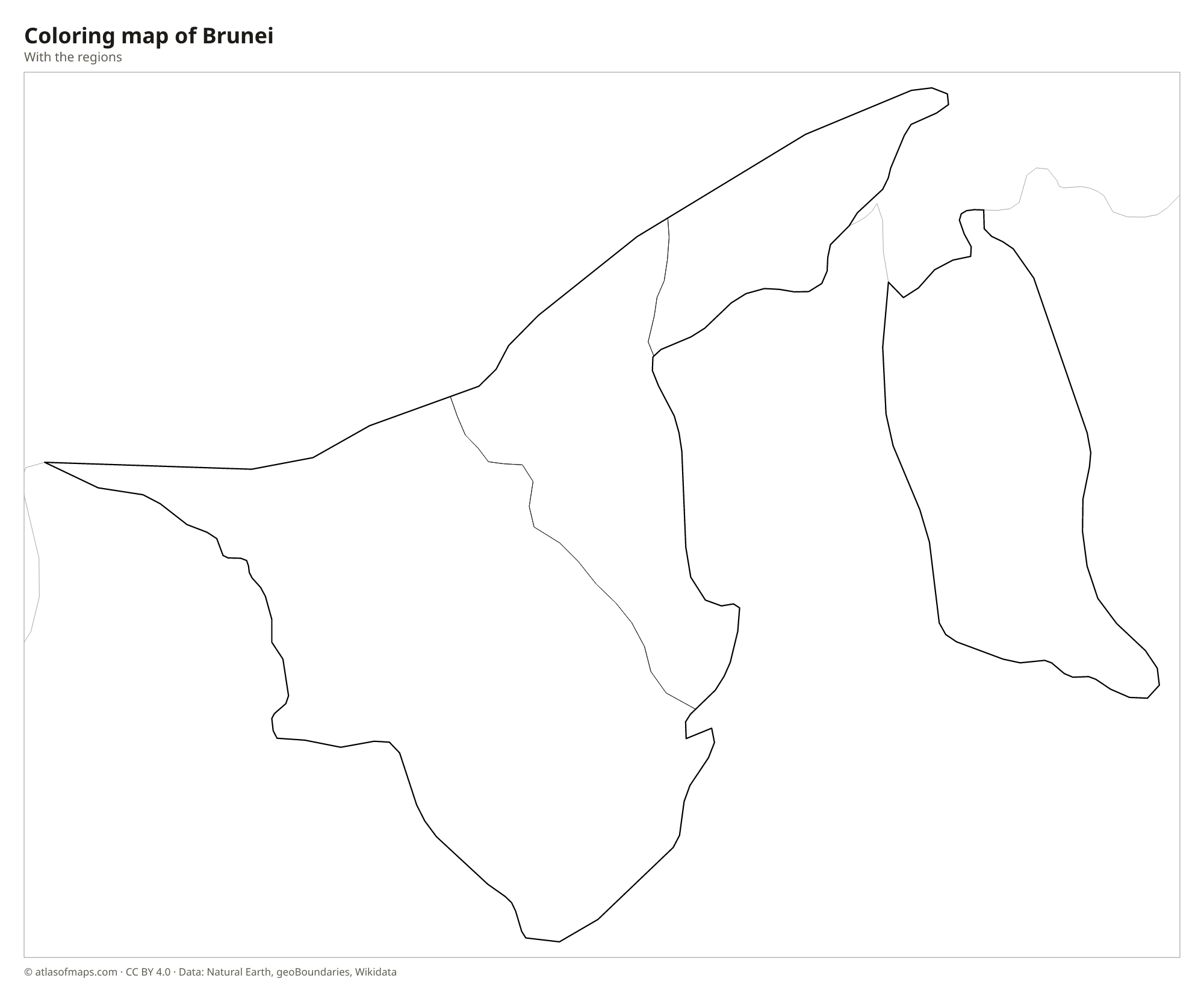
Coloring map of Brunei

Geography of Brunei
Brunei covers 5,765 km² (2,226 sq mi) in two pieces separated by Sarawak's Limbang district. The larger western part, which contains the capital, Bandar Seri Begawan, is mostly low coastal plain and gentle hills, with swamps near the coast. The smaller eastern part, Temburong, is rugged and covered with rainforest, and rises to the highest point, Bukit Pagon, at 1,850 m (6,070 ft) on the border with Sarawak. A large share of the country is still covered by tropical forest.
Several rivers, including the Belait, Tutong, Brunei and Temburong, flow north to the South China Sea or into Brunei Bay. In the capital, Kampong Ayer, a large water village of houses on stilts, stands in the Brunei River. Ulu Temburong National Park protects untouched rainforest in the east. The climate is equatorial: hot and humid all year, with heavy rain and no cold season. Oil and natural gas, found mainly offshore and around Seria in the west, are the basis of the economy. About 459,000 people (2023) live in Brunei.
Fun facts
- The two parts of Brunei have been linked since 2020 by the Temburong Bridge across Brunei Bay.
- Kampong Ayer, in Bandar Seri Begawan, is often described as the largest water village in the world.
- Borneo, which Brunei shares with Malaysia and Indonesia, is the third-largest island in the world.
Flag of Brunei
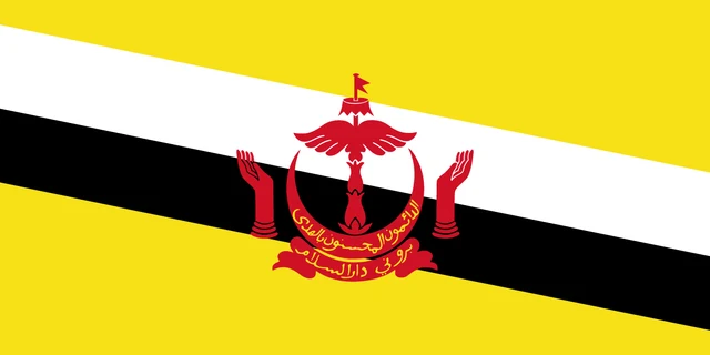
The flag of Brunei is yellow, crossed by two diagonal bands, white above and black below, running from the upper hoist corner to the lower fly corner. In the center is the national crest in red: a parasol and wings above a crescent, with two upraised hands on either side and a banner below.
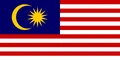
Countries bordering Brunei
Frequently asked questions
What country surrounds Brunei?
On land, Brunei is entirely surrounded by Malaysia, specifically the state of Sarawak on Borneo. Its north coast faces the South China Sea.
How many districts does Brunei have?
Brunei has 4 districts: Belait, Brunei-Muara, Temburong and Tutong. Temburong is cut off from the other three by Malaysian territory.
What island is Brunei on?
Brunei is on the island of Borneo, which it shares with Malaysia and Indonesia. It is the only country that lies entirely on Borneo.
What is the capital of Brunei?
The capital of Brunei is Bandar Seri Begawan.
What countries border Brunei?
Brunei shares land borders with Malaysia.
How many regions does Brunei have?
Brunei is divided into 4 regions: Belait, Brunei-Muara, Temburong, and Tutong.
What language is spoken in Brunei?
The official languages are Malay and British English.
Can I print the map of Brunei?
Yes. Every map on this page can be downloaded for free as PNG or PDF (US Letter) and printed, including the blank map and the coloring map. Please credit the source (Atlas of Maps, CC BY 4.0).
Use this map
You can download, print and share this map for free, in class, in school projects, in presentations and on websites, as long as you credit the source: Map of Brunei · Atlas of Maps (atlasofmaps.com), license CC BY 4.0.
See also: Map of Asia · Map of Southeast Asia · World map