Map of Cape Verde with regions and capitals
Cape Verde (Cabo Verde) is an island country in the central Atlantic Ocean, off the coast of West Africa. Its islands lie west of Senegal and Mauritania, and the country has no land borders. The political map shows its 22 regions, the capital, Praia, and major cities.

- Capital
- Praia
- Population
- 555,988 (2020)
- Area
- 4,033 km² (1,557 sq mi)
- Population density
- 138 per km² (357 per sq mi)
- Official languages
- Portuguese and Cape Verdean Creole
- Currency
- Cape Verdean escudo
- Demonym
- Cabo Verdean
- Regions
- 22
- Highest point
- Pico do Fogo (2,829 m (9,281 ft))
- Calling code
- +238
- Internet domain
- .cv
- Official name
- Republic of Cabo Verde
- Also known as
- Cabo Verde
Where is Cape Verde?
Cape Verde (Cabo Verde) is an island country in the central Atlantic Ocean, off the coast of West Africa. Its islands lie west of Senegal and Mauritania, and the country has no land borders.

Regions of Cape Verde and their capitals
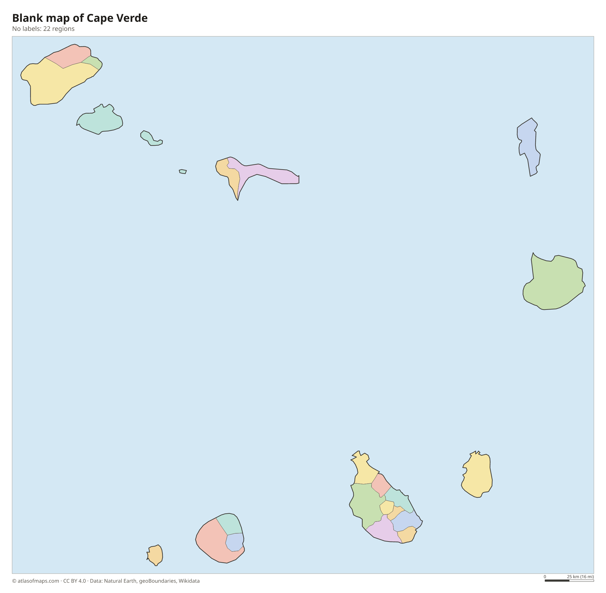
Cape Verde is divided into 22 municipalities (concelhos), all drawn on the map. Some islands form a single municipality, such as Sal, Boa Vista and Maio, while Santiago, the largest island, is split into nine.
| Region | Capital | Population | Area |
|---|---|---|---|
| Boa Vista | Sal Rei | 8,696 | 631 km² (244 sq mi) |
| Brava | Nova Sintra | — | — |
| Maio | Porto Inglês | — | — |
| Mosteiros | Mosteiros | 9,524 | — |
| Paul | Pombas | 6,997 | — |
| Porto Novo | Porto Novo | 18,028 | — |
| Praia | Praia | 130,271 | 103 km² (40 sq mi) |
| Ribeira Brava | Ribeira Brava | 7,580 | — |
| Ribeira Grande | Ponta do Sol | 18,890 | — |
| Ribeira Grande de Santiago | Cidade Velha | — | — |
| Sal | Espargos | — | — |
| Santa Catarina | Assomada | — | — |
| Santa Catarina do Fogo | Cova Figueira | — | 125 km² (48 sq mi) |
| Santa Cruz | — | — | — |
| São Domingos | São Domingos | — | — |
| São Filipe | São Filipe | 22,227 | — |
| São Lourenço dos Órgãos | João Teves | — | — |
| São Miguel | Calheta de São Miguel | — | — |
| São Salvador do Mundo | Picos | — | — |
| São Vicente | Mindelo | 83,467 | — |
| Tarrafal | Tarrafal | 30,000 | 121 km² (47 sq mi) |
| Tarrafal de São Nicolau | Tarrafal de São Nicolau | 5,237 | — |
Population from Wikidata (latest figure available for each region).
Blank and coloring maps of Cape Verde
Blank map of Cape Verde

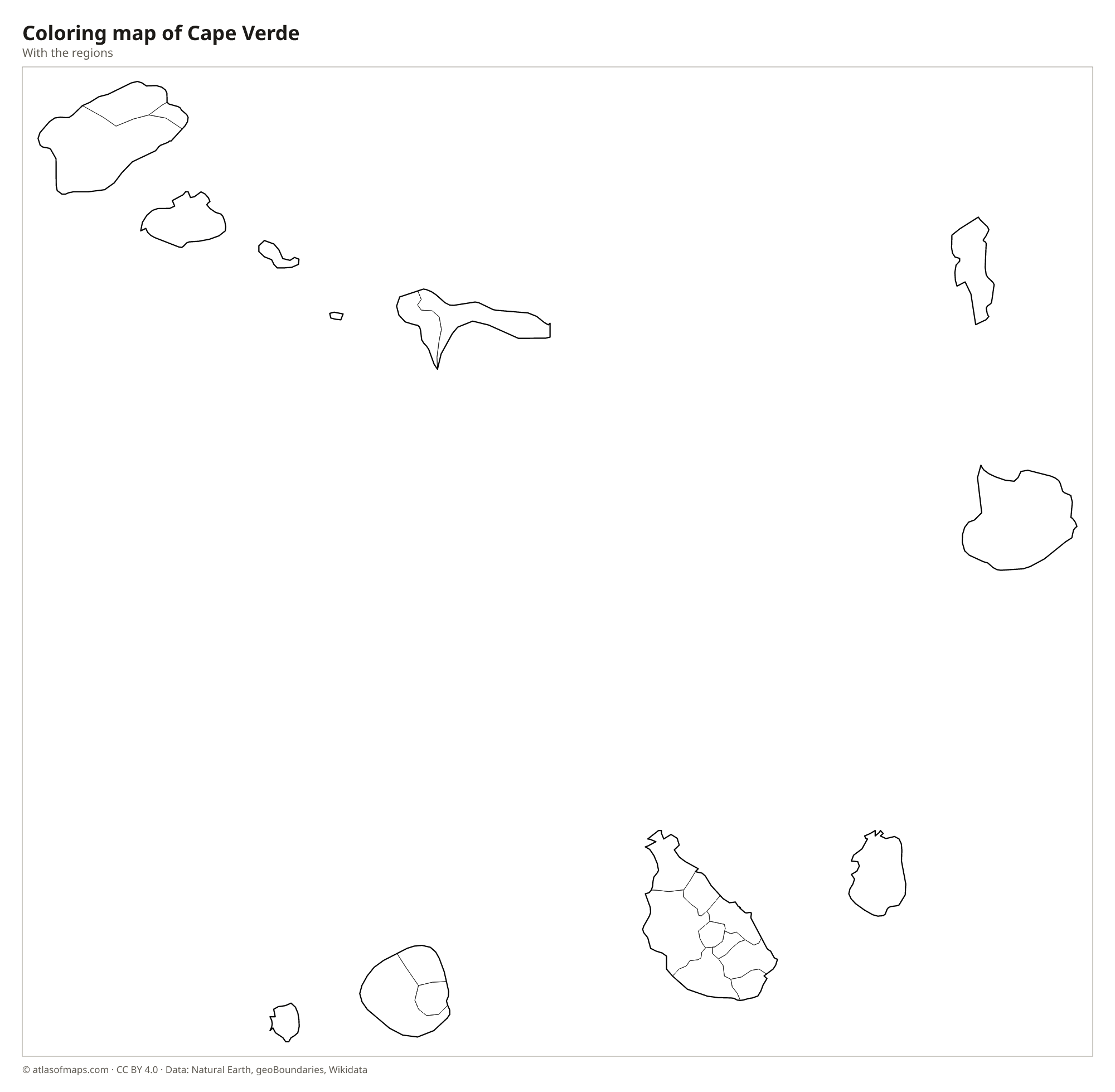
Coloring map of Cape Verde

Geography of Cape Verde
Cape Verde covers 4,033 km² (1,557 sq mi) on 10 volcanic islands and several islets, arranged in a horseshoe. The northern group is called Barlavento (windward) and the southern group Sotavento (leeward). The western islands, such as Santo Antão, Santiago and Fogo, are mountainous, with steep peaks and deep valleys. Fogo is a single volcano whose summit, Pico do Fogo, reaches 2,829 m (9,281 ft) and is the highest point; it last erupted in 2014 and 2015. The eastern islands, Sal, Boa Vista and Maio, are flat and sandy.
Cape Verde has a dry, warm climate, with little and unreliable rainfall, mostly between August and October. Droughts have shaped its history, and there are almost no permanent rivers; much drinking water now comes from desalination. Dusty harmattan winds from the Sahara often blow over the islands. Sal and Boa Vista have long white beaches and sand dunes, while Santo Antão has green valleys where moisture from the trade winds collects on the slopes. Praia, the capital, is on Santiago, the largest island. About 556,000 people (2020) live in Cape Verde.
Fun facts
- In 2013, the government asked that the country be called Cabo Verde in all languages, and the United Nations now uses that name.
- The islands were uninhabited until Portuguese navigators arrived in the 15th century.
- The island of Sal takes its name from the salt once harvested at Pedra de Lume, inside an old volcanic crater.
Flag of Cape Verde
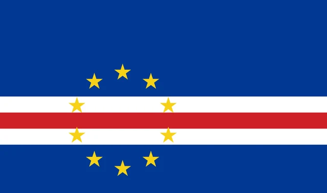
The flag of Cape Verde is dark blue with three narrow horizontal stripes, white, red and white, running across it below the middle. A circle of 10 yellow five-pointed stars sits over the stripes, centered on the red stripe and placed toward the hoist.
Frequently asked questions
Where is Cape Verde?
Cape Verde lies in the central Atlantic Ocean, several hundred kilometers west of Senegal on the coast of West Africa. It is usually counted as part of Africa.
How many islands does Cape Verde have?
Cape Verde has 10 main islands, 9 of them inhabited, plus several small islets. Santa Luzia is the uninhabited island.
How many municipalities does Cape Verde have?
Cape Verde has 22 municipalities. Santiago, the largest island, is divided into nine of them, including Praia, the capital.
What is the capital of Cape Verde?
The capital of Cape Verde is Praia.
What countries border Cape Verde?
Cape Verde has no land borders with other countries: all its borders are at sea.
How many regions does Cape Verde have?
Cape Verde is divided into 22 regions: Boa Vista, Brava, Maio, Mosteiros, Paul, Porto Novo, Praia, Ribeira Brava, Ribeira Grande, Ribeira Grande de Santiago, Sal, Santa Catarina, Santa Catarina do Fogo, Santa Cruz, São Domingos, São Filipe, São Lourenço dos Órgãos, São Miguel, São Salvador do Mundo, São Vicente, Tarrafal, and Tarrafal de São Nicolau.
What language is spoken in Cape Verde?
The official languages are Portuguese and Cape Verdean Creole.
Can I print the map of Cape Verde?
Yes. Every map on this page can be downloaded for free as PNG or PDF (US Letter) and printed, including the blank map and the coloring map. Please credit the source (Atlas of Maps, CC BY 4.0).
Use this map
You can download, print and share this map for free, in class, in school projects, in presentations and on websites, as long as you credit the source: Map of Cape Verde · Atlas of Maps (atlasofmaps.com), license CC BY 4.0.
See also: Map of Africa · World map