Map of Curaçao
Curaçao is an island in the southern Caribbean Sea, about 65 km (40 mi) north of the coast of Venezuela. It lies between Aruba to the west and Bonaire to the east and has no land borders.
Constituent country of the Kingdom of the Netherlands.

- Capital
- Willemstad
- Population
- 152,849 (2023)
- Area
- 444 km² (171 sq mi)
- Population density
- 344 per km² (892 per sq mi)
- Official languages
- Dutch, Papiamento, and English
- Currency
- Caribbean guilder
- Demonym
- Curaçaoan
- Calling code
- +5999
- Internet domain
- .cw
Where is Curaçao?
Curaçao is an island in the southern Caribbean Sea, about 65 km (40 mi) north of the coast of Venezuela. It lies between Aruba to the west and Bonaire to the east and has no land borders.

Blank and coloring maps of Curaçao
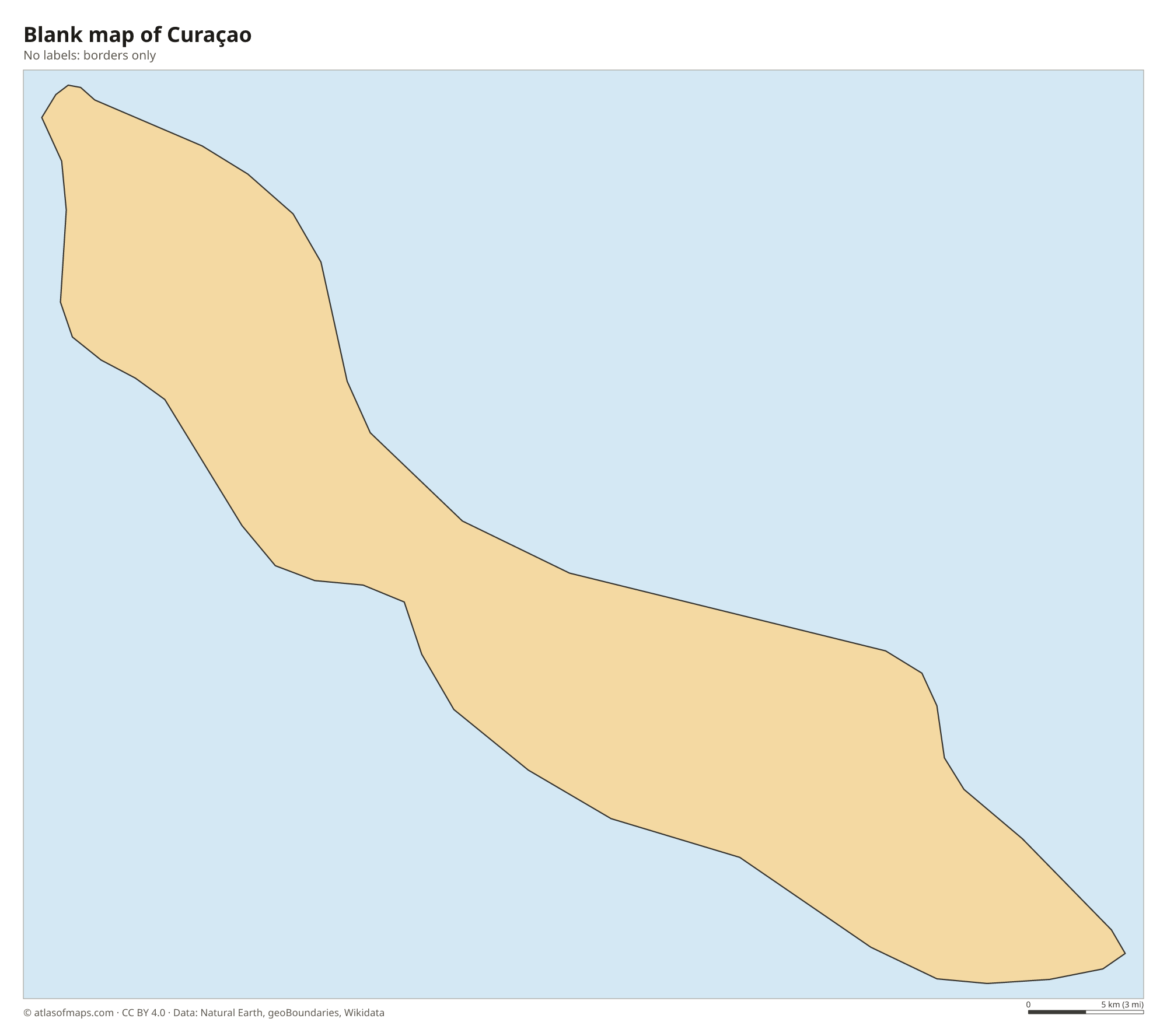
Blank map of Curaçao

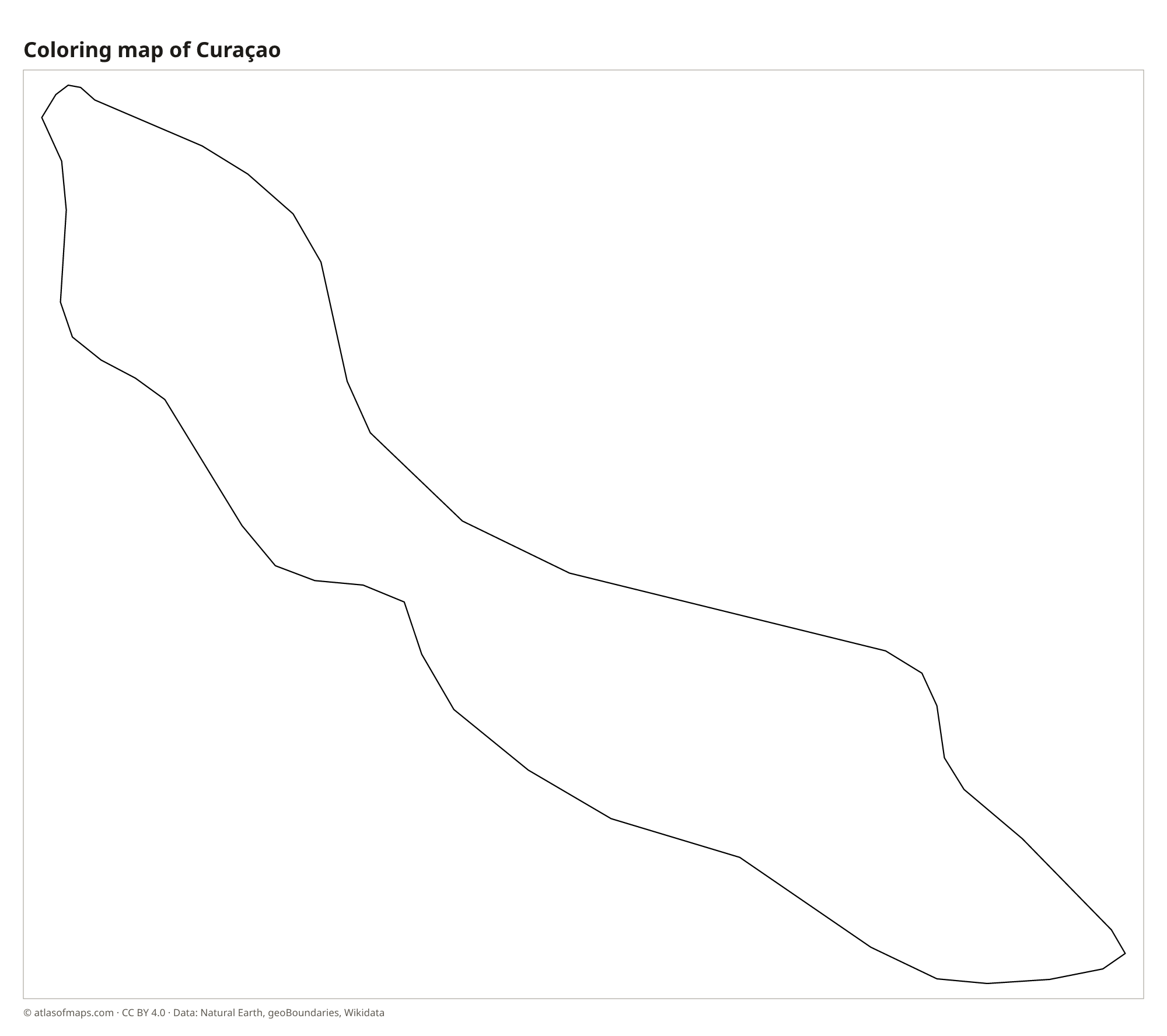
Coloring map of Curaçao

Geography of Curaçao
Curaçao is a long, narrow island of 444 km² (171 sq mi), stretching from northwest to southeast. Its landscape is mostly low and dry, with limestone terraces, cacti and thorny scrub. The hilliest part is the northwest, where Christoffelberg (Mount Christoffel), the island's highest point, rises inside Christoffel National Park. The rugged north coast faces the trade winds and the open sea, while the sheltered south coast is cut by inlets and bays, the largest being the Schottegat, the natural harbor behind Willemstad.
Together with Aruba and Bonaire, Curaçao forms the ABC islands of the Leeward Antilles. The climate is hot and semi-arid, cooled by steady northeast trade winds, and most rain falls from October to January. The island lies south of the main hurricane belt, so storms are rare. Coral reefs line the south coast, and the small, uninhabited island of Klein Curaçao lies to the southeast. There are no permanent rivers, and drinking water comes mainly from desalinated seawater.
Fun facts
- The colorful merchant houses of the Handelskade waterfront in Willemstad are part of a UNESCO World Heritage Site.
- Curaçao gave its name to blue curaçao, a liqueur flavored with the dried peel of the island's laraha orange.
- Curaçao became a constituent country within the Kingdom of the Netherlands in 2010, when the Netherlands Antilles were dissolved.
Flag of Curaçao
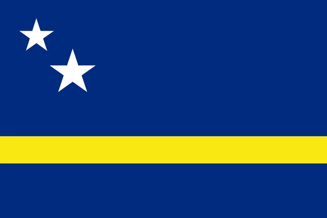
The flag of Curaçao is blue with a horizontal yellow stripe placed a little below the middle. In the upper hoist corner are two white five-pointed stars, one smaller than the other. Because the stripe is set low, the blue field above it is much taller than the blue field below.
Frequently asked questions
Where is Curaçao located?
Curaçao is in the southern Caribbean, about 65 km (40 mi) off the coast of Venezuela. It is the largest of the ABC islands and lies between Aruba and Bonaire.
Is Curaçao part of the Netherlands?
Curaçao is a constituent country of the Kingdom of the Netherlands. It governs itself in most matters, while the kingdom as a whole handles defense and foreign affairs.
What is the capital of Curaçao?
The capital is Willemstad, a port city on the south coast built around the Schottegat harbor. Its colorful districts of Punda and Otrobanda face each other across St. Anna Bay.
What countries border Curaçao?
Curaçao has no land borders with other countries: all its borders are at sea.
What language is spoken in Curaçao?
The official languages are Dutch, Papiamento, and English.
Can I print the map of Curaçao?
Yes. Every map on this page can be downloaded for free as PNG or PDF (US Letter) and printed, including the blank map and the coloring map. Please credit the source (Atlas of Maps, CC BY 4.0).
Use this map
You can download, print and share this map for free, in class, in school projects, in presentations and on websites, as long as you credit the source: Map of Curaçao · Atlas of Maps (atlasofmaps.com), license CC BY 4.0.
See also: Map of North America · Map of the Caribbean · World map