Map of Denmark with regions and capitals
Denmark is a Nordic country in northern Europe, made up of the Jutland Peninsula and hundreds of islands. Its only land border is with Germany to the south, and it lies between the North Sea and the Baltic Sea, southwest of Sweden. The political map shows its 5 regions, the capital, Copenhagen, and major cities.

- Capital
- Copenhagen
- Population
- 5.8 million (2020)
- Area
- 42,925 km² (16,573 sq mi)
- Population density
- 136 per km² (351 per sq mi)
- Official language
- Danish
- Currency
- Danish krone
- Demonym
- Danish
- Regions
- 5
- Highest point
- Møllehøj (171 m (561 ft))
- Calling code
- +45
- Internet domain
- .dk
Where is Denmark?
Denmark is a Nordic country in northern Europe, made up of the Jutland Peninsula and hundreds of islands. Its only land border is with Germany to the south, and it lies between the North Sea and the Baltic Sea, southwest of Sweden.
Neighboring countries: Germany.

Regions of Denmark and their capitals
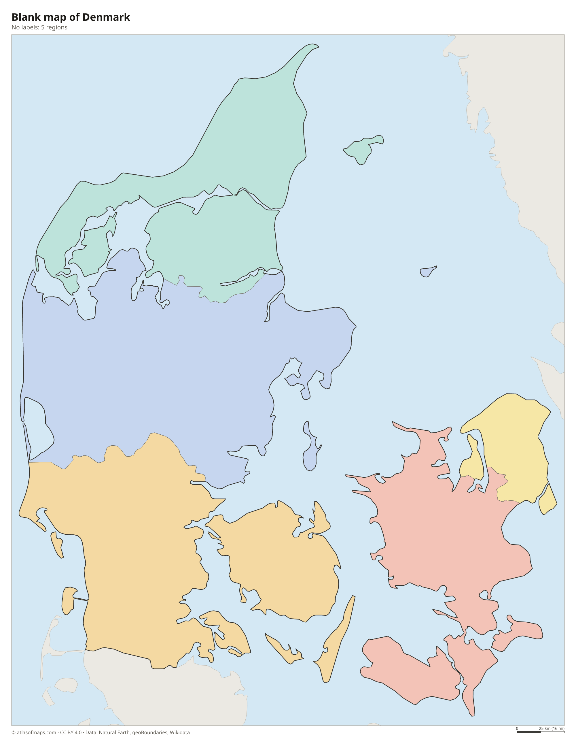
Denmark is divided into 5 regions: the Capital Region (Hovedstaden), Zealand, Southern Denmark, Central Denmark and North Denmark. Greenland and the Faroe Islands belong to the Kingdom of Denmark as autonomous territories and are not part of any region.
| Region | Capital | Population | Area |
|---|---|---|---|
| Capital Region | Hillerød | 1,848,989 | 2,559 km² (988 sq mi) |
| Central Denmark | Viborg | 1,326,913 | 13,007 km² (5,022 sq mi) |
| North Denmark | Aalborg | 590,580 | 7,885 km² (3,044 sq mi) |
| Southern Denmark | Vejle | 1,223,894 | 12,260 km² (4,734 sq mi) |
| Zealand | Sorø | 837,087 | 7,225 km² (2,790 sq mi) |
Population from Wikidata (latest figure available for each region).
Blank and coloring maps of Denmark
Blank map of Denmark

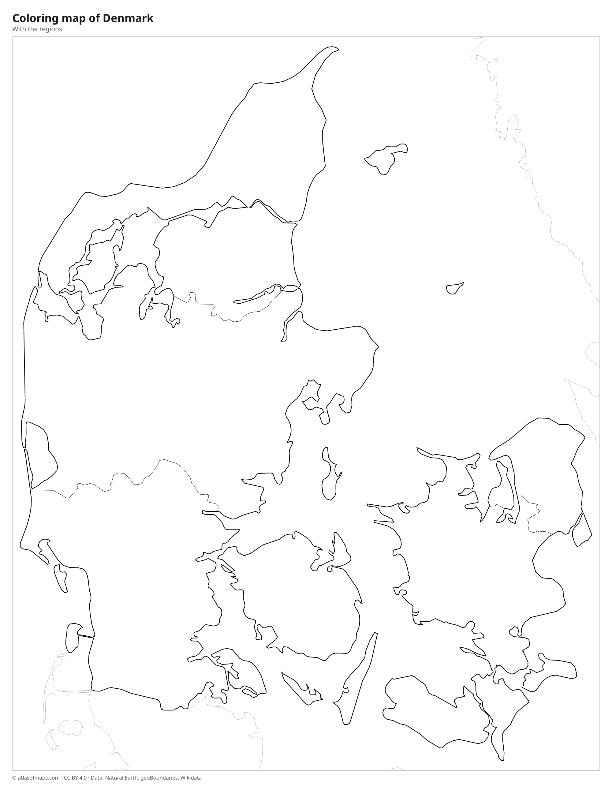
Coloring map of Denmark

Geography of Denmark
Denmark covers 42,925 km² (16,573 sq mi), not counting Greenland and the Faroe Islands. Jutland, the peninsula attached to the European mainland, makes up most of the land, and the rest is spread over more than 400 islands, including Zealand, Funen, Lolland and Bornholm. The country is very flat: ice-age glaciers shaped its gentle hills and lakes, and the highest point, Møllehøj, is only 171 m (561 ft) above sea level. Sandy dunes line the west coast of Jutland, while the east has fjords and sheltered bays.
Denmark has a long coastline for its size, and no place in the country is more than about 50 km (30 mi) from the sea. Straits connect the North Sea and the Baltic: the Skagerrak and Kattegat to the north, and the Øresund, Great Belt and Little Belt between the islands. Rivers are short, the longest being the Gudenå in Jutland. The climate is temperate and maritime, with mild winters, cool summers and frequent wind, which Denmark uses to produce a large share of its electricity.
Fun facts
- The Øresund Bridge and tunnel link Copenhagen with Malmö in Sweden across the Øresund strait.
- Greenland, the largest island in the world, is an autonomous territory within the Kingdom of Denmark.
- At Grenen, the northern tip of Jutland near Skagen, the waves of the Skagerrak and the Kattegat meet.
Flag of Denmark
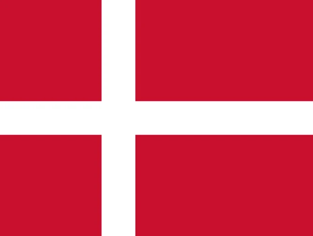
The flag of Denmark, called the Dannebrog, is red with a white Nordic cross. The vertical arm of the cross is shifted toward the hoist side, so the left part of the flag is shorter than the right. The official proportions are 28:37, slightly squarer than most national flags.
Countries bordering Denmark
Frequently asked questions
What countries border Denmark?
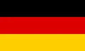
Denmark has only one land neighbor, Germany, along the southern edge of Jutland. Sweden lies just across the Øresund strait and is connected to Denmark by the Øresund Bridge.
How many regions does Denmark have?
Denmark has 5 regions: the Capital Region, Zealand, Southern Denmark, Central Denmark and North Denmark. The regions mainly run hospitals and health care, while municipalities handle most local services.
Is Greenland part of Denmark?
Greenland is part of the Kingdom of Denmark but has its own government and wide self-rule. Like the Faroe Islands, it is not included in Denmark's 5 regions.
What is the capital of Denmark?
The capital of Denmark is Copenhagen.
What language is spoken in Denmark?
The official language is Danish.
Can I print the map of Denmark?
Yes. Every map on this page can be downloaded for free as PNG or PDF (US Letter) and printed, including the blank map and the coloring map. Please credit the source (Atlas of Maps, CC BY 4.0).
Use this map
You can download, print and share this map for free, in class, in school projects, in presentations and on websites, as long as you credit the source: Map of Denmark · Atlas of Maps (atlasofmaps.com), license CC BY 4.0.
See also: Map of Europe · Map of the European Union · World map