Map of Dominica with regions and capitals
Dominica is an island country in the eastern Caribbean, part of the Lesser Antilles. It lies between the French islands of Guadeloupe to the north and Martinique to the south, with the Caribbean Sea to the west and the Atlantic Ocean to the east. The political map shows its 10 regions, the capital, Roseau, and major cities.

- Capital
- Roseau
- Population
- 74,656 (2023)
- Area
- 751 km² (290 sq mi)
- Population density
- 99 per km² (257 per sq mi)
- Official language
- English
- Currency
- Eastern Caribbean dollar
- Demonym
- Dominican
- Regions
- 10
- Highest point
- Morne Diablotins (1,447 m (4,747 ft))
- Calling code
- +1767
- Internet domain
- .dm
- Official name
- Commonwealth of Dominica
Where is Dominica?
Dominica is an island country in the eastern Caribbean, part of the Lesser Antilles. It lies between the French islands of Guadeloupe to the north and Martinique to the south, with the Caribbean Sea to the west and the Atlantic Ocean to the east.

Regions of Dominica and their capitals
Dominica is divided into 10 parishes, all named after saints, from Saint Andrew in the northeast to Saint Patrick in the southeast. The capital, Roseau, lies in the parish of Saint George on the southwest coast.
| Region | Capital | Population | Area |
|---|---|---|---|
| Saint Andrew | Wesley | 9,471 | 178 km² (69 sq mi) |
| Saint David | — | 6,043 | 132 km² (51 sq mi) |
| Saint George | — | 21,241 | 56 km² (22 sq mi) |
| Saint John | — | 6,561 | 59 km² (23 sq mi) |
| Saint Joseph | Saint Joseph | 5,637 | 121 km² (47 sq mi) |
| Saint Luke | — | 1,668 | 8 km² (3.1 sq mi) |
| Saint Mark | — | 1,834 | 10 km² (3.9 sq mi) |
| Saint Patrick | — | 7,622 | 88 km² (34 sq mi) |
| Saint Paul | — | 9,786 | 65 km² (25 sq mi) |
| Saint Peter | — | 1,430 | 33 km² (13 sq mi) |
Population from Wikidata (latest figure available for each region).
Blank and coloring maps of Dominica
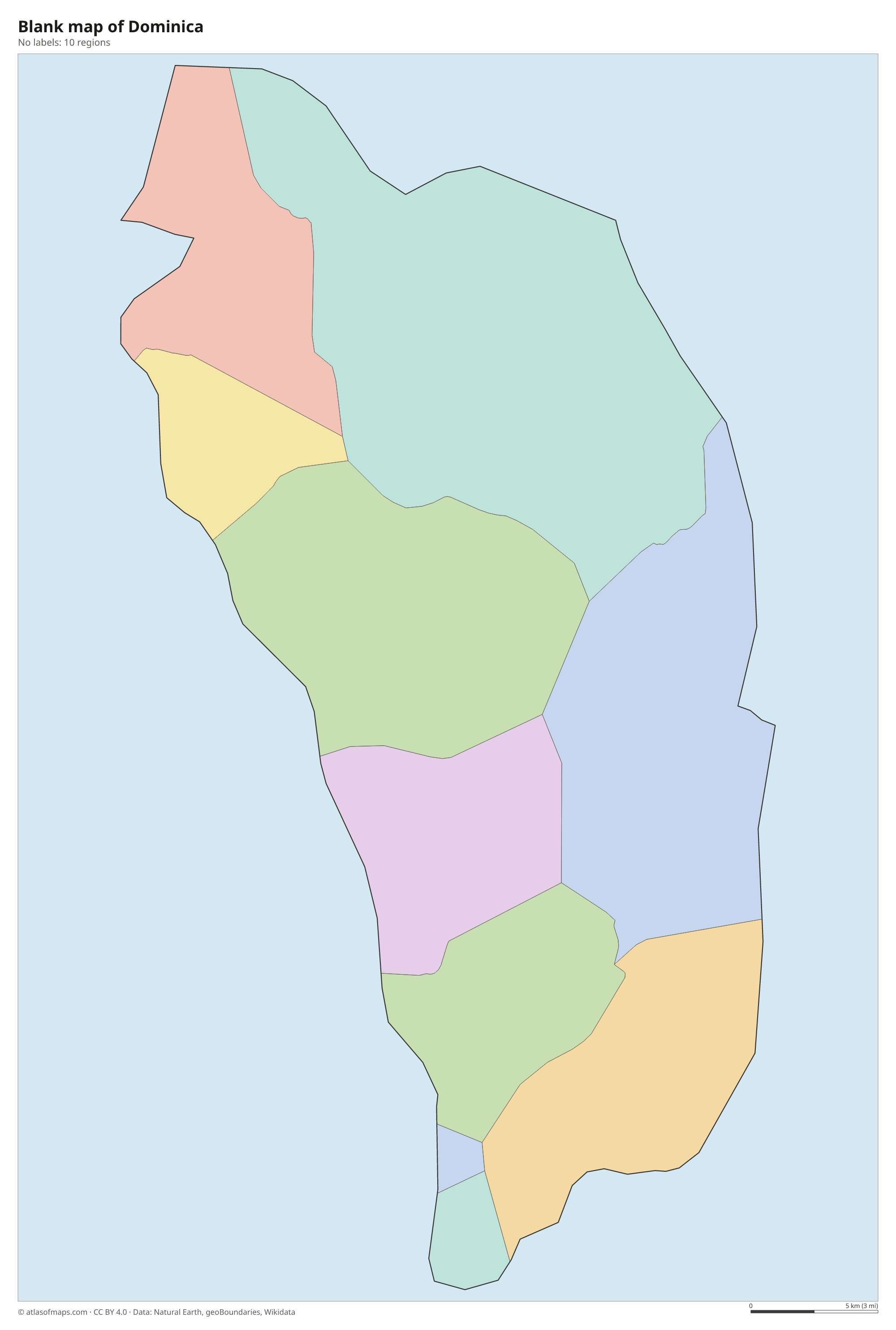
Blank map of Dominica

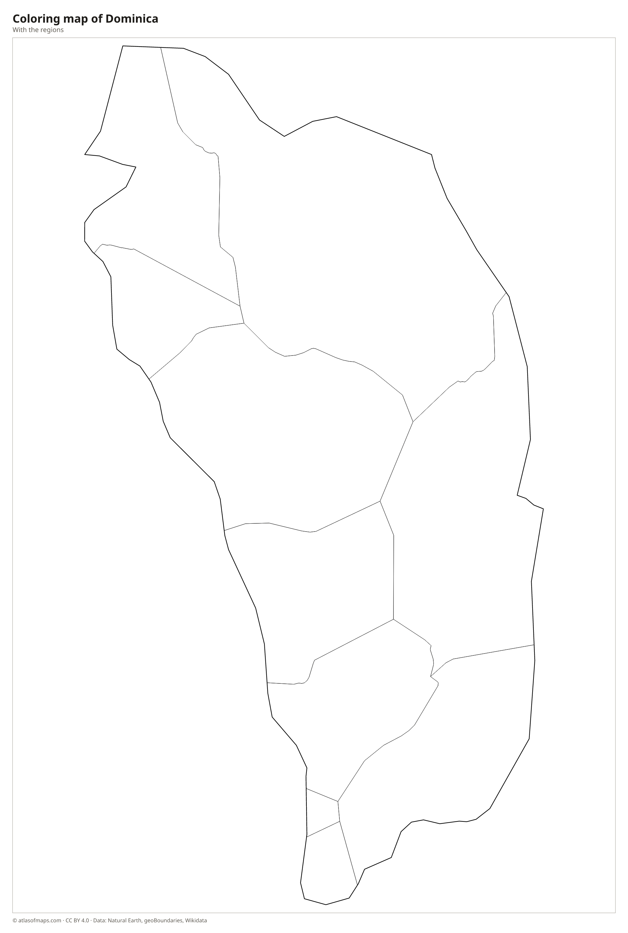
Coloring map of Dominica

Geography of Dominica
Dominica is a rugged volcanic island of 751 km² (290 sq mi). A spine of steep, forested mountains runs from north to south, crowned by Morne Diablotins, the highest peak, at 1,447 m (4,747 ft). Several volcanic centers are still active, feeding hot springs, steaming vents and the barren Valley of Desolation. In Morne Trois Pitons National Park lies the Boiling Lake, a flooded fumarole whose gray-blue water is often at a rolling boil and one of the largest hot lakes of its kind in the world.
Heavy rainfall on the mountains feeds many rivers, waterfalls and crater lakes, and much of the island is still covered in tropical rainforest. The windward Atlantic coast is wetter and rougher, while the leeward Caribbean side, where Roseau lies, is drier and calmer. The climate is tropical, and hurricanes are a serious risk: Hurricane Maria caused severe damage across the island in 2017. The Kalinago Territory on the east coast is home to the island's Indigenous Kalinago people.
Fun facts
- Morne Trois Pitons National Park, in the mountainous south-center of the island, is a UNESCO World Heritage Site.
- Dominica is often called the Nature Isle of the Caribbean because of its rainforests, rivers and volcanic features.
- The Waitukubuli National Trail runs the length of the island in 14 segments.
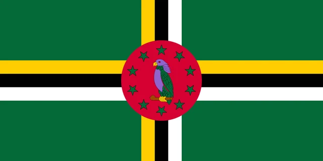
Flag of Dominica
The flag of Dominica is green with a cross made of three narrow stripes in yellow, black and white. In the center of the cross is a red disc showing a Sisserou parrot, surrounded by ten green five-pointed stars. The parrot's purple feathers make Dominica's one of the very few national flags that use purple.
Frequently asked questions
Is Dominica the same as the Dominican Republic?
No. Dominica is a small English-speaking island nation in the Lesser Antilles, while the Dominican Republic is a much larger Spanish-speaking country on the island of Hispaniola, far to the northwest.
How many parishes does Dominica have?
Dominica has 10 parishes, each named after a saint, such as Saint George, Saint John and Saint Paul. The ten green stars on the national flag represent them.
Where is Dominica located?
Dominica is in the eastern Caribbean, in the Lesser Antilles chain. It sits between Guadeloupe to the north and Martinique to the south, both of which are overseas regions of France.
What is the capital of Dominica?
The capital of Dominica is Roseau.
What countries border Dominica?
Dominica has no land borders with other countries: all its borders are at sea.
How many regions does Dominica have?
Dominica is divided into 10 regions: Saint Andrew, Saint David, Saint George, Saint John, Saint Joseph, Saint Luke, Saint Mark, Saint Patrick, Saint Paul, and Saint Peter.
What language is spoken in Dominica?
The official language is English.
Can I print the map of Dominica?
Yes. Every map on this page can be downloaded for free as PNG or PDF (US Letter) and printed, including the blank map and the coloring map. Please credit the source (Atlas of Maps, CC BY 4.0).
Use this map
You can download, print and share this map for free, in class, in school projects, in presentations and on websites, as long as you credit the source: Map of Dominica · Atlas of Maps (atlasofmaps.com), license CC BY 4.0.
See also: Map of North America · Map of the Caribbean · World map