Map of Fiji with regions and capitals
Fiji is an island country in Melanesia in the South Pacific Ocean, about 2,000 km (1,240 mi) north of New Zealand. Its nearest neighbors across the sea are Vanuatu to the west, Tonga to the east and Tuvalu to the north. The political map shows its 5 regions, the capital, Suva, and major cities.

- Capital
- Suva
- Population
- 926,276 (2018)
- Area
- 18,274 km² (7,056 sq mi)
- Population density
- 51 per km² (131 per sq mi)
- Official languages
- English, Fijian, and Fiji Hindi
- Currency
- Fijian dollar
- Demonym
- Fijian
- Regions
- 5
- Highest point
- Mount Tomanivi (1,324 m (4,344 ft))
- Calling code
- +679
- Internet domain
- .fj
- Official name
- Republic of Fiji
Where is Fiji?
Fiji is an island country in Melanesia in the South Pacific Ocean, about 2,000 km (1,240 mi) north of New Zealand. Its nearest neighbors across the sea are Vanuatu to the west, Tonga to the east and Tuvalu to the north.

Regions of Fiji and their capitals
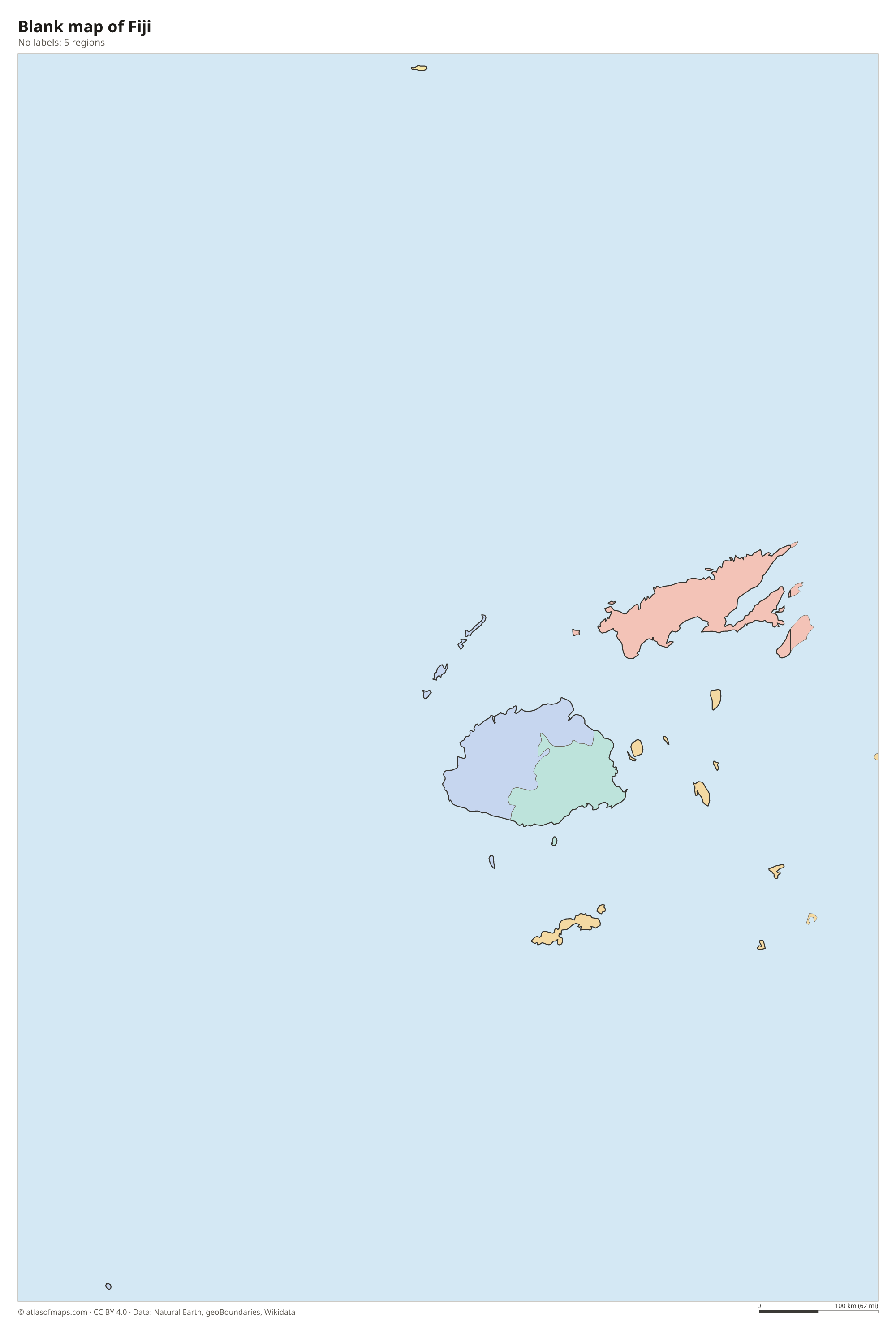
Fiji is divided into 5 regions: the Central, Eastern, Northern and Western divisions, and the dependency of Rotuma, a small island group far to the north. Each division is further split into provinces.
| Region | Capital | Population | Area |
|---|---|---|---|
| Central | Suva | — | — |
| Eastern | Levuka | 37,311 | 1,376 km² (531 sq mi) |
| Northern | Labasa | — | — |
| Rotuma | — | — | 46 km² (18 sq mi) |
| Western | Lautoka | — | — |
Population from Wikidata (latest figure available for each region).
Blank and coloring maps of Fiji
Blank map of Fiji

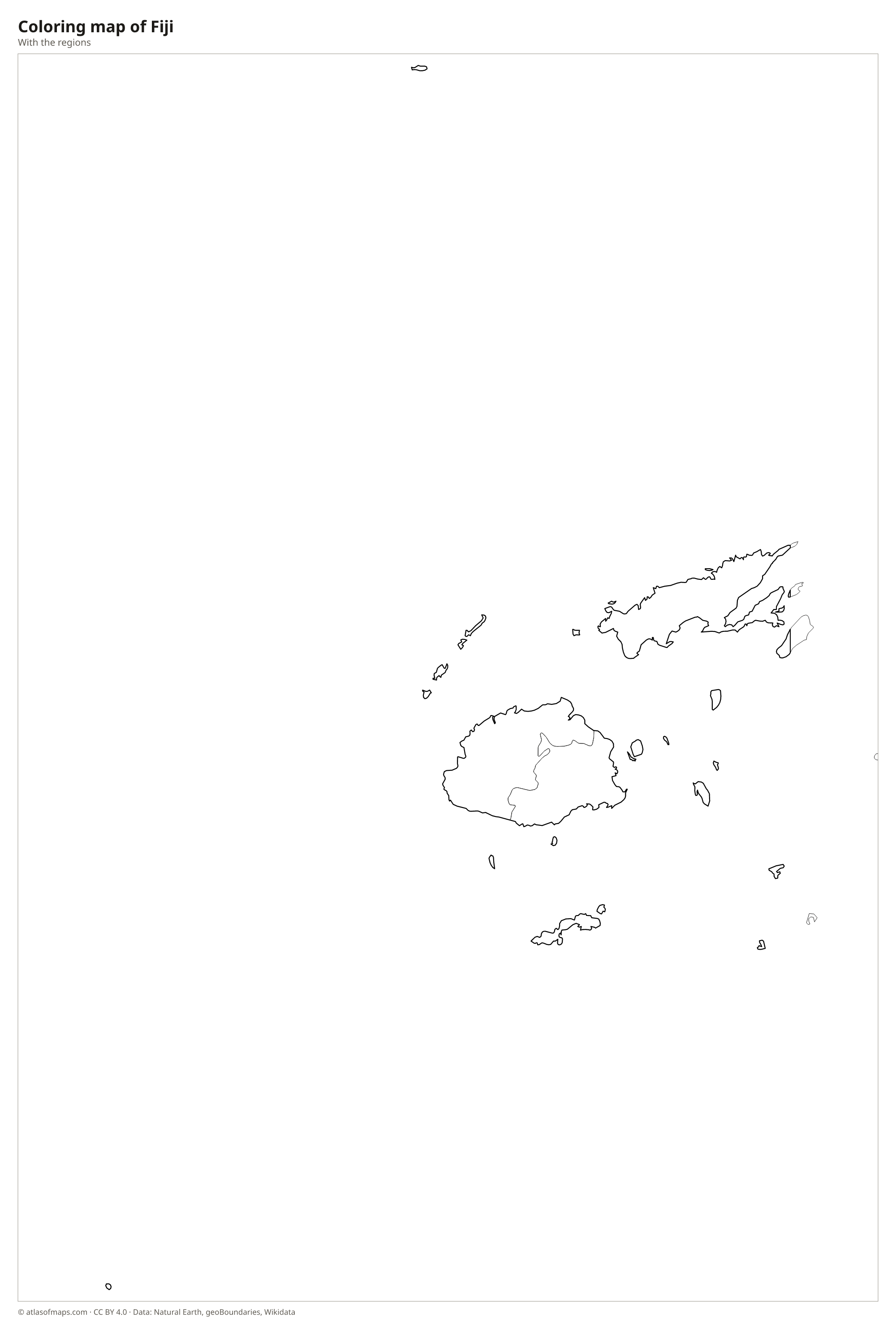
Coloring map of Fiji

Geography of Fiji
Fiji is made up of about 330 islands, roughly a third of them inhabited, with a total land area of 18,274 km² (7,056 sq mi). The two largest, Viti Levu and Vanua Levu, are volcanic in origin and mountainous, and together they make up most of the land. On Viti Levu, Mount Tomanivi rises to 1,324 m (4,344 ft), the country's highest point. Smaller island groups include the Yasawa and Mamanuca islands in the west and the Lau group in the east, many of them low coral islands surrounded by reefs.
The mountains of the main islands catch the southeast trade winds, so their eastern sides, where Suva lies, are wet and covered with rainforest, while the western sides around Nadi and Lautoka are drier, with grassland and sugarcane fields. The Rewa River near Suva is the largest river. The climate is tropical, with a warmer, wetter season from November to April, when cyclones can strike. The Great Sea Reef off the north coast of Vanua Levu is one of the longest barrier reef systems in the world.
Fun facts
- The 180th meridian passes through Fiji, including the island of Taveuni, but the International Date Line bends around the country so all of Fiji keeps the same date.
- Rotuma, part of Fiji, lies several hundred kilometers north of the main islands and has its own language and culture.
Flag of Fiji
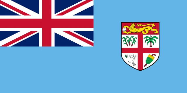
The flag of Fiji is light blue with the Union Jack in the upper hoist corner. On the fly side is the shield from the national coat of arms: a red cross on white divides it into quarters showing sugarcane, a coconut palm, a dove of peace and a bunch of bananas, beneath a red band with a golden lion holding a cocoa pod.
Frequently asked questions
Where is Fiji located?
Fiji is in the South Pacific Ocean, in the region called Melanesia, about 2,000 km (1,240 mi) north of New Zealand and east of Vanuatu.
How many islands does Fiji have?
Fiji has about 330 islands, of which roughly 110 are permanently inhabited. Most people live on the two largest islands, Viti Levu and Vanua Levu.
What is the capital of Fiji?
The capital is Suva, on the southeast coast of Viti Levu. It is Fiji's largest city and one of the main ports and centers of the South Pacific.
What countries border Fiji?
Fiji has no land borders with other countries: all its borders are at sea.
How many regions does Fiji have?
Fiji is divided into 5 regions: Central, Eastern, Northern, Rotuma, and Western.
What language is spoken in Fiji?
The official languages are English, Fijian, and Fiji Hindi.
Can I print the map of Fiji?
Yes. Every map on this page can be downloaded for free as PNG or PDF (US Letter) and printed, including the blank map and the coloring map. Please credit the source (Atlas of Maps, CC BY 4.0).
Use this map
You can download, print and share this map for free, in class, in school projects, in presentations and on websites, as long as you credit the source: Map of Fiji · Atlas of Maps (atlasofmaps.com), license CC BY 4.0.
See also: Map of Oceania · World map