Map of French Polynesia with regions and capitals
French Polynesia is an overseas collectivity of France in the South Pacific Ocean, made up of more than 100 islands and atolls. It lies east of the Cook Islands and far south of Hawaii, with Tahiti as its main island. The political map shows its 5 regions, the capital, Papeete, and major cities.
French overseas collectivity.

- Capital
- Papeete
- Population
- 278,786 (2022)
- Area
- 4,167 km² (1,609 sq mi)
- Population density
- 67 per km² (173 per sq mi)
- Official language
- French
- Currency
- CFP Franc
- Demonym
- French Polynesian
- Regions
- 5
- Highest point
- Mont Orohena (2,241 m (7,352 ft))
- Calling code
- +689
- Internet domain
- .pf
Where is French Polynesia?
French Polynesia is an overseas collectivity of France in the South Pacific Ocean, made up of more than 100 islands and atolls. It lies east of the Cook Islands and far south of Hawaii, with Tahiti as its main island.

Regions of French Polynesia
French Polynesia is divided into 5 administrative subdivisions: the Windward Islands and the Leeward Islands, which together form the Society Islands, the Tuamotu-Gambier, the Marquesas Islands and the Austral Islands. Papeete, the capital, is on Tahiti in the Windward Islands.
| Region |
|---|
| Austral Islands |
| Leeward Islands |
| Marquesas Islands |
| Tuamotu Archipelago |
| Windward Islands |
Blank and coloring maps of French Polynesia
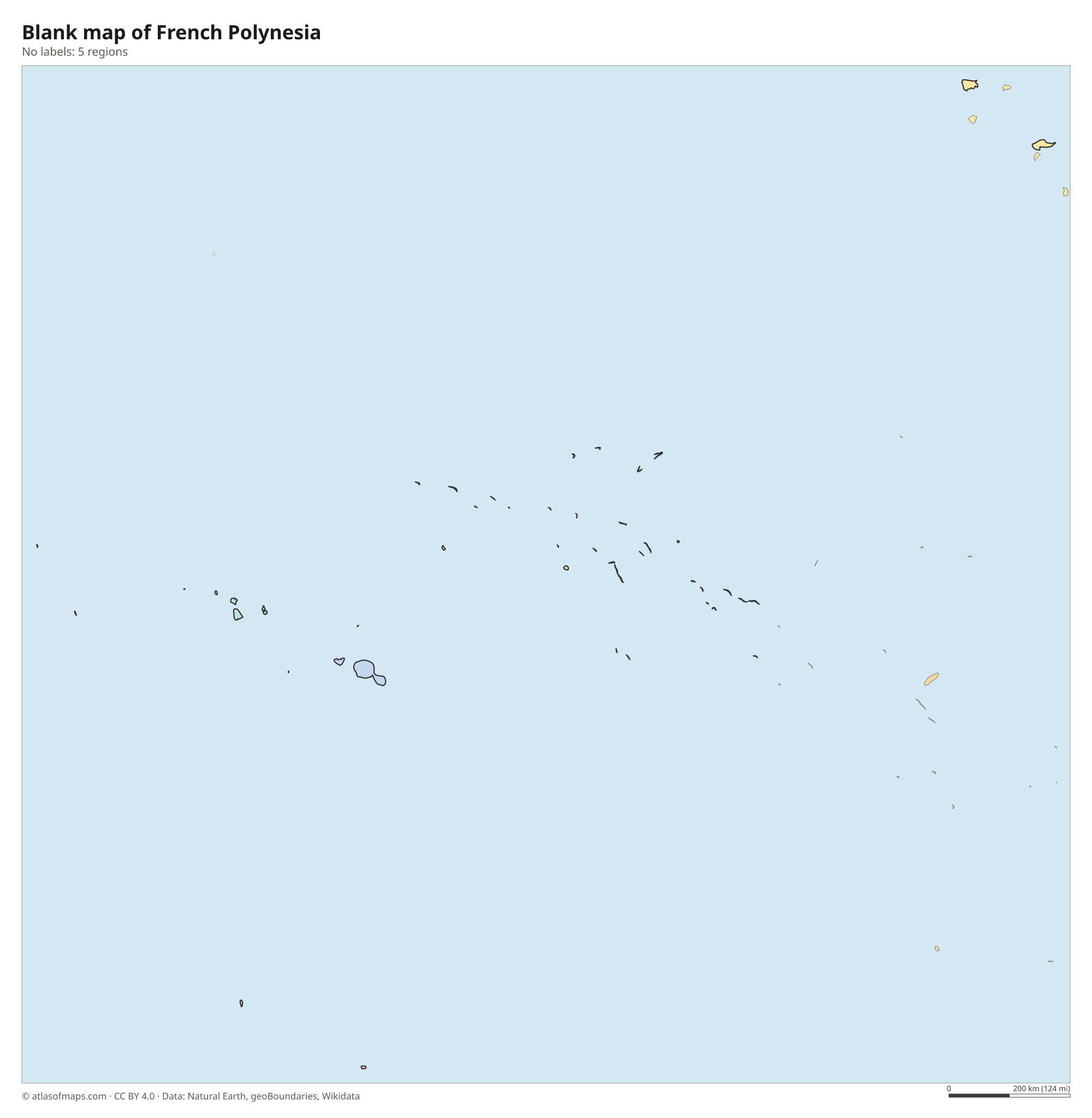
Blank map of French Polynesia

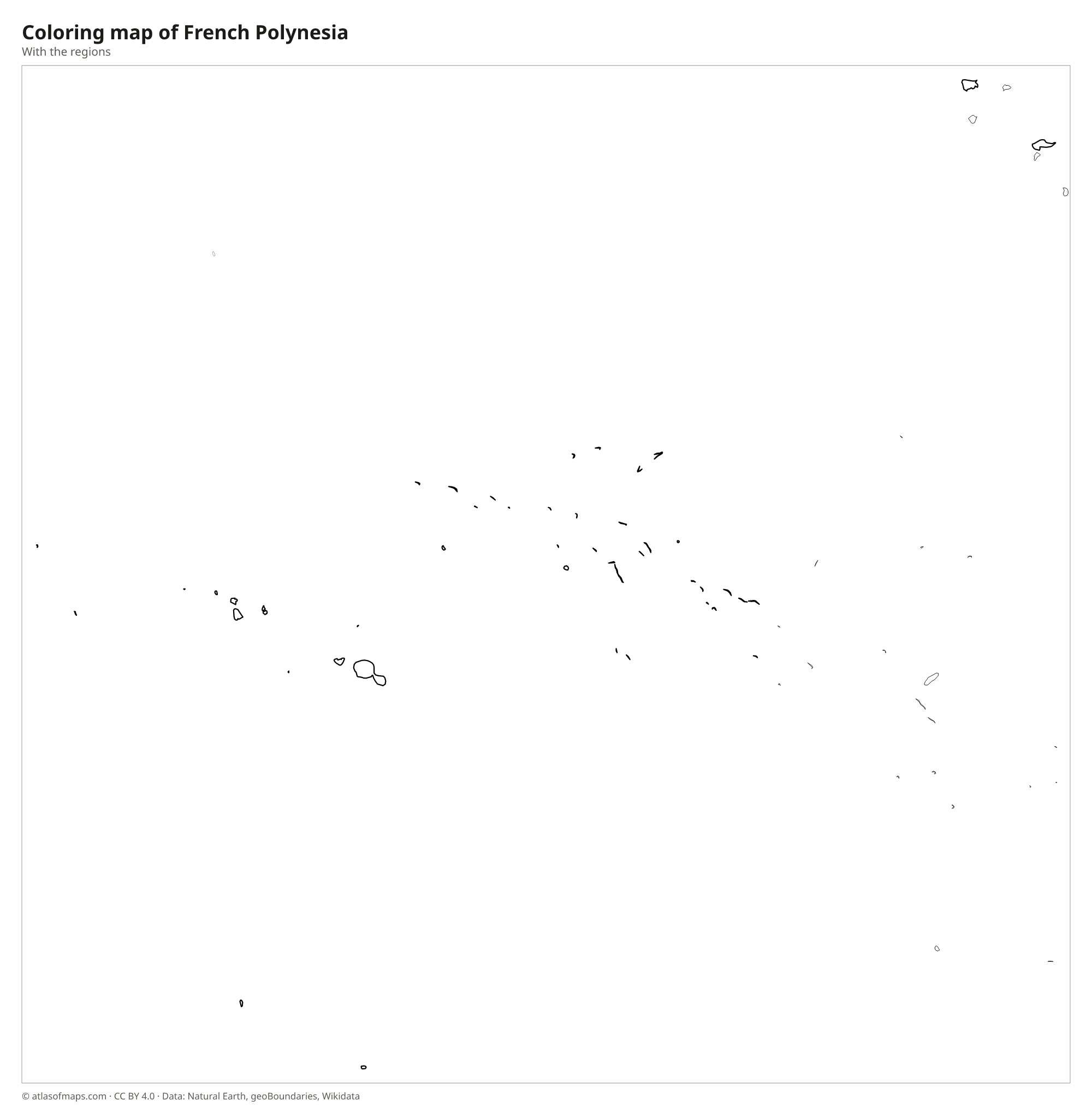
Coloring map of French Polynesia

Geography of French Polynesia
The islands are scattered over a vast area of ocean, but their land totals only 4,167 km² (1,609 sq mi). They form five archipelagos: the Society Islands, which include Tahiti and Bora Bora; the Tuamotu Archipelago, a long chain of low coral atolls; the Gambier Islands; the Marquesas Islands in the northeast; and the Austral Islands in the south. The high islands are volcanic, with steep, green peaks, and on Tahiti, Mont Orohena rises to 2,241 m (7,352 ft), the highest point.
Many of the islands, such as Bora Bora and Moorea, are ringed by coral reefs and shallow lagoons, while the Tuamotus include Rangiroa, one of the largest atolls in the world. The Marquesas, by contrast, have few fringing reefs and rise abruptly from the sea. The climate is tropical, with a warm, humid season from November to April and a cooler, drier season the rest of the year. Most people live on Tahiti, around the capital, Papeete.
Fun facts
- Rangiroa in the Tuamotus is one of the largest atolls in the world, with a lagoon big enough to hold the whole island of Tahiti.
- The painter Paul Gauguin spent his last years in the Marquesas Islands and is buried on Hiva Oa.
Flag of French Polynesia
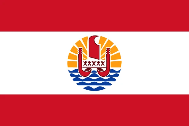
The flag of French Polynesia has three horizontal stripes, red, white and red, with the white stripe twice as tall as each red one. In the center is a round emblem showing a red Polynesian outrigger canoe in front of a golden sun with rays, above blue and white waves. Five small figures on the canoe stand for the five archipelagos.
Frequently asked questions
Is Tahiti a country?
No. Tahiti is the largest and most populous island of French Polynesia, an overseas collectivity of France. Its city of Papeete is also the capital of French Polynesia as a whole.
Where is French Polynesia?
French Polynesia is in the South Pacific Ocean, east of the Cook Islands and Samoa and far south of Hawaii. Its islands are spread across an ocean area about as large as Western Europe.
How many islands are in French Polynesia?
French Polynesia has more than 100 islands and atolls in five archipelagos: the Society Islands, the Tuamotus, the Gambier Islands, the Marquesas and the Austral Islands. Not all of them are inhabited.
What is the capital of French Polynesia?
The capital of French Polynesia is Papeete.
What countries border French Polynesia?
French Polynesia has no land borders with other countries.
How many regions does French Polynesia have?
French Polynesia is divided into 5 regions: Austral Islands, Leeward Islands, Marquesas Islands, Tuamotu Archipelago, and Windward Islands.
What language is spoken in French Polynesia?
The official language is French.
Can I print the map of French Polynesia?
Yes. Every map on this page can be downloaded for free as PNG or PDF (US Letter) and printed, including the blank map and the coloring map. Please credit the source (Atlas of Maps, CC BY 4.0).
Use this map
You can download, print and share this map for free, in class, in school projects, in presentations and on websites, as long as you credit the source: Map of French Polynesia · Atlas of Maps (atlasofmaps.com), license CC BY 4.0.
See also: Map of Oceania · World map