Map of Grenada with regions and capitals
Grenada is a small island country in the southeastern Caribbean, at the southern end of the Windward Islands. It lies north of Trinidad and Tobago and south of Saint Vincent and the Grenadines, with the Caribbean Sea to the west and the Atlantic Ocean to the east. The political map shows its 7 regions, the capital, St. George's, and major cities.

- Capital
- St. George's
- Population
- 114,299 (2023)
- Area
- 349 km² (135 sq mi)
- Population density
- 328 per km² (848 per sq mi)
- Official languages
- English and Grenadian Creole English
- Currency
- Eastern Caribbean dollar
- Demonym
- Grenadian
- Regions
- 7
- Highest point
- Mount Saint Catherine (840 m (2,756 ft))
- Calling code
- +1473
- Internet domain
- .gd
Where is Grenada?
Grenada is a small island country in the southeastern Caribbean, at the southern end of the Windward Islands. It lies north of Trinidad and Tobago and south of Saint Vincent and the Grenadines, with the Caribbean Sea to the west and the Atlantic Ocean to the east.

Regions of Grenada and their capitals
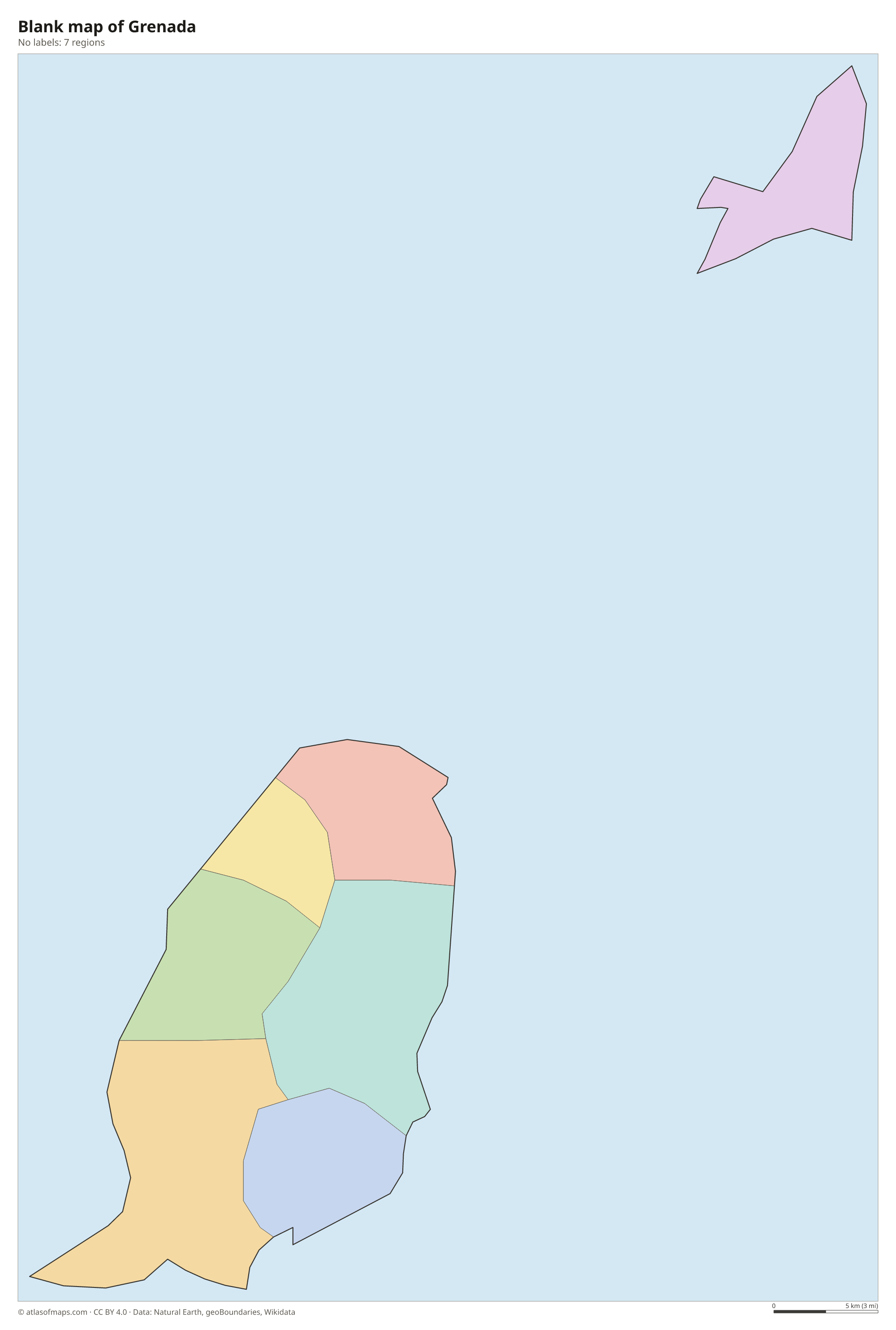
Grenada is divided into six parishes on the main island, Saint Andrew, Saint David, Saint George, Saint John, Saint Mark and Saint Patrick, plus the dependency of Carriacou and Petite Martinique, making 7 regions on the map.
| Region | Capital | Population | Area |
|---|---|---|---|
| Carriacou and Petite Martinique | Hillsborough | 5,633 | 38 km² (15 sq mi) |
| Saint Andrew | Grenville | 26,501 | 91 km² (35 sq mi) |
| Saint David | — | 12 | 47 km² (18 sq mi) |
| Saint George | St. George's | 38,249 | 67 km² (26 sq mi) |
| Saint John | Gouyave | 8,469 | 39 km² (15 sq mi) |
| Saint Mark | Victoria | 4,408 | 23 km² (8.9 sq mi) |
| Saint Patrick | Sauteurs | 10,504 | 44 km² (17 sq mi) |
Population from Wikidata (latest figure available for each region).
Blank and coloring maps of Grenada
Blank map of Grenada

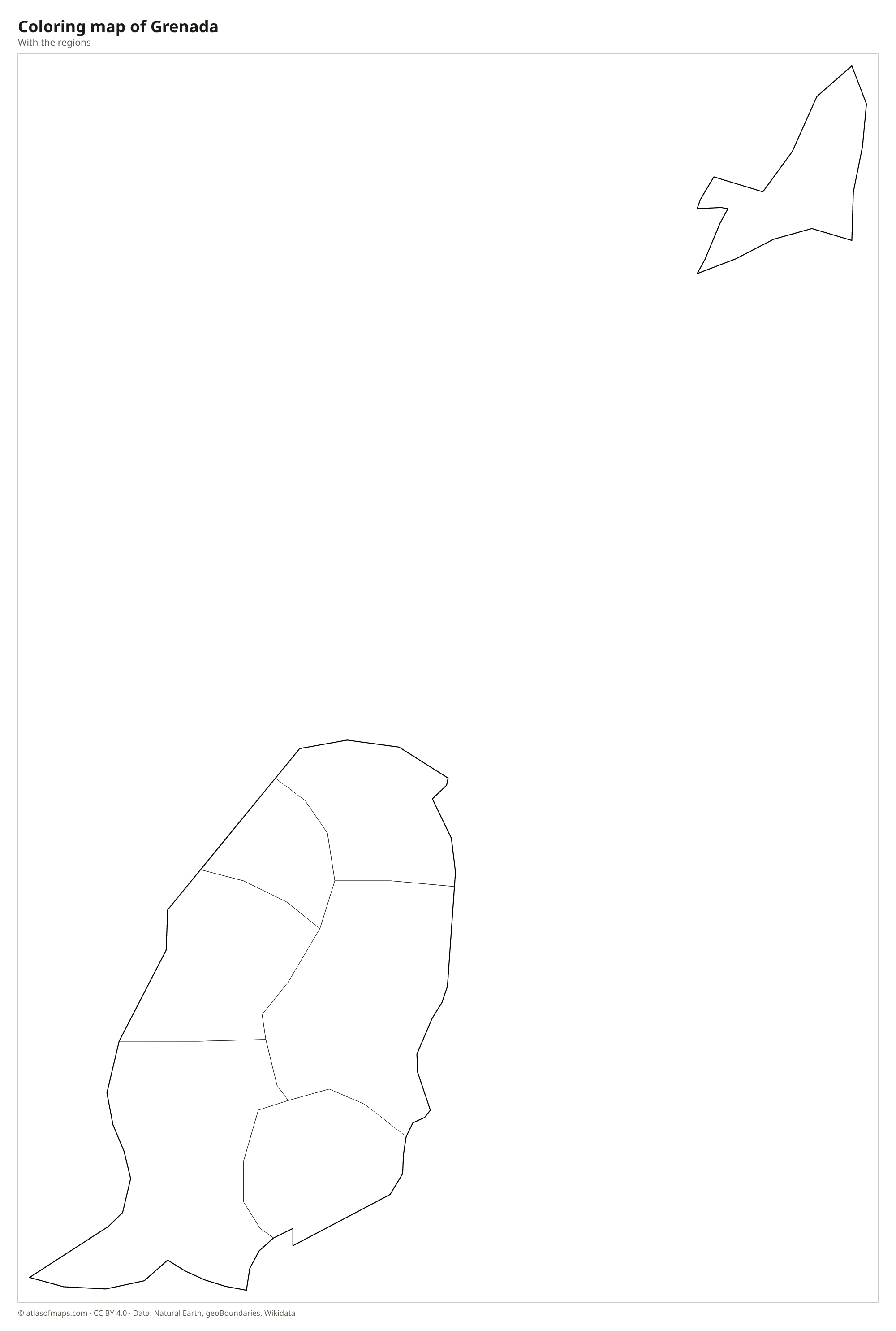
Coloring map of Grenada

Geography of Grenada
The country is made up of the main island of Grenada and the smaller islands of Carriacou and Petite Martinique to the north, which belong to the Grenadines chain. Together they cover 349 km² (135 sq mi). Grenada itself is volcanic, with a mountainous, rainforest-covered interior that rises to Mount Saint Catherine, the highest point at 840 m (2,756 ft). In the central hills lies Grand Etang, a lake inside an old volcanic crater. North of the main island is Kick 'em Jenny, an active underwater volcano that scientists monitor closely.
Short, steep rivers run from the central mountains to the sea, some of them forming waterfalls in the forest. The southwest has white sand beaches such as Grand Anse, close to the capital, St. George's, which wraps around a deep, horseshoe-shaped harbor. The climate is tropical and warm all year, with a rainy season from about June to December. Grenada lies near the southern edge of the Atlantic hurricane belt, so storms are less frequent than farther north, but Hurricane Ivan in 2004 and Hurricane Beryl in 2024 caused heavy damage.
Fun facts
- Grenada is known as the Spice Isle and is one of the world's main producers of nutmeg.
- In Molinere Bay off the west coast, an underwater sculpture park has statues on the seabed that are slowly turning into an artificial reef.
Flag of Grenada
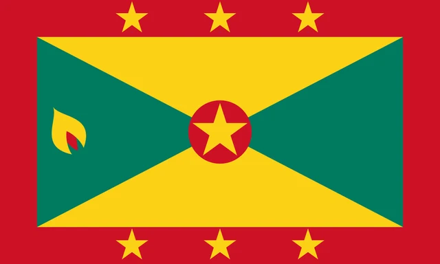
Grenada's flag has a wide red border around a central rectangle split diagonally into four triangles, yellow at the top and bottom and green at the sides. Six yellow stars sit in the border, three at the top and three at the bottom, and a seventh star appears on a red disc in the center. On the green triangle near the pole is a yellow and red nutmeg. The ratio is 3:5.
Frequently asked questions
Where is Grenada located?
Grenada is in the southeastern Caribbean Sea, at the southern end of the Lesser Antilles. It lies north of Trinidad and Tobago and the coast of Venezuela, and south of Saint Vincent and the Grenadines.
How many parishes does Grenada have?
Grenada has six parishes on the main island plus the dependency of Carriacou and Petite Martinique, so the map shows 7 regions. The seven stars on the flag stand for these units.
What is the capital of Grenada?
The capital is St. George's, a harbor town in the southwest of the main island. It is the country's largest town and its main port.
What countries border Grenada?
Grenada has no land borders with other countries: all its borders are at sea.
How many regions does Grenada have?
Grenada is divided into 7 regions: Carriacou and Petite Martinique, Saint Andrew, Saint David, Saint George, Saint John, Saint Mark, and Saint Patrick.
What language is spoken in Grenada?
The official languages are English and Grenadian Creole English.
Can I print the map of Grenada?
Yes. Every map on this page can be downloaded for free as PNG or PDF (US Letter) and printed, including the blank map and the coloring map. Please credit the source (Atlas of Maps, CC BY 4.0).
Use this map
You can download, print and share this map for free, in class, in school projects, in presentations and on websites, as long as you credit the source: Map of Grenada · Atlas of Maps (atlasofmaps.com), license CC BY 4.0.
See also: Map of North America · Map of the Caribbean · World map